

Direct Referencing
senseFly eBee X has a high-precision GNSS receiver, which provides accurate positioning at all times, through RTK and/or PPK positioning. For PPK processing, reliable software is needed to provide precise coordinates for each of the images in the photogrammetric survey. senseFly eBee X does this using eMotion.

Postflight
eMotion has a Postflight module, which allows you to process each of the flight paths made with the senseFly eBee X equipment using PPK.

The processing workflow is very user-friendly and well-structured in eMotion.
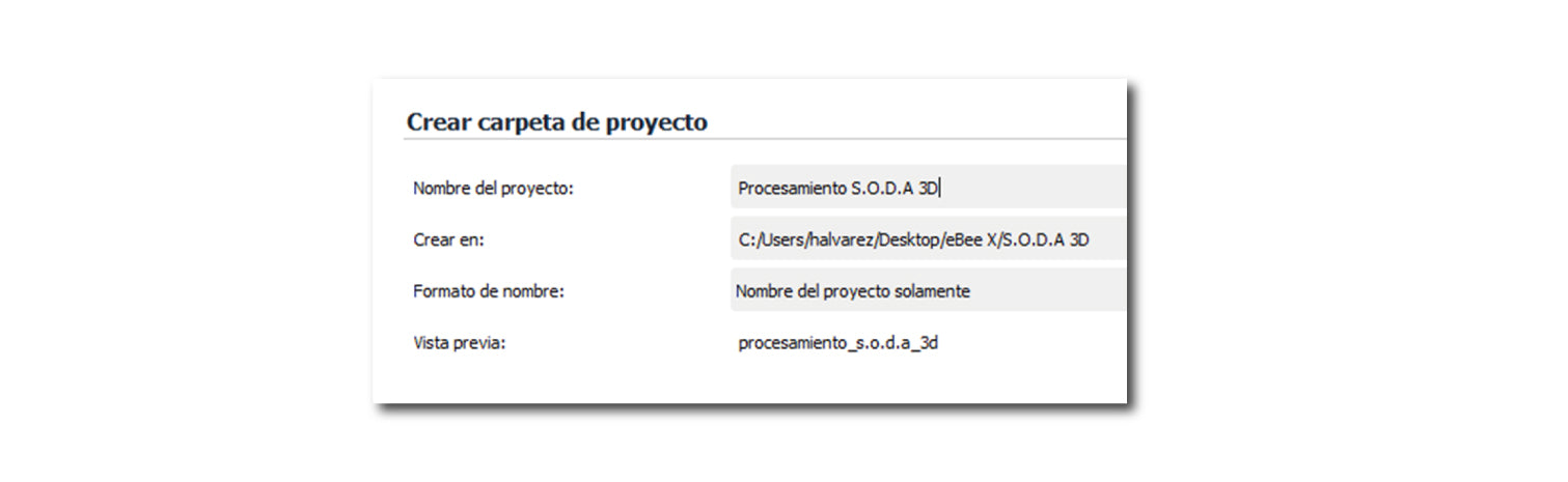
1 Project Creation
Definition of the directory where post-flight products will be stored.
2 Loading eBee X log files
The eBee X log files fully store the flight parameters, along with the positioning parameters of the RTK/PPK equipment, such as satellite observations and the events that identify each of the images captured during the flight mission.

3 PPK Processing
To start PPK processing, you need to define the brand and model of the GNSS base, along with its RINEX files. This is of utmost importance because it will precisely define the altimetric references in the GNSS equipment, which is used as a reference in the photogrammetric flight.

Continuing with PPK processing, the precise coordinates of the GNSS base and its instrumental height must be defined, as shown in the following image.

4 Verification of flight path accuracies
This step is essential, as it verifies that the accuracies of the PPK positioning are within the project's tolerances.

5 Synchronization of PPK positioning with images
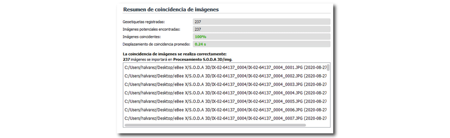
This step links the PPK positions obtained in eMotion with the images captured during the flight mission.
6 Exporting Results and Products
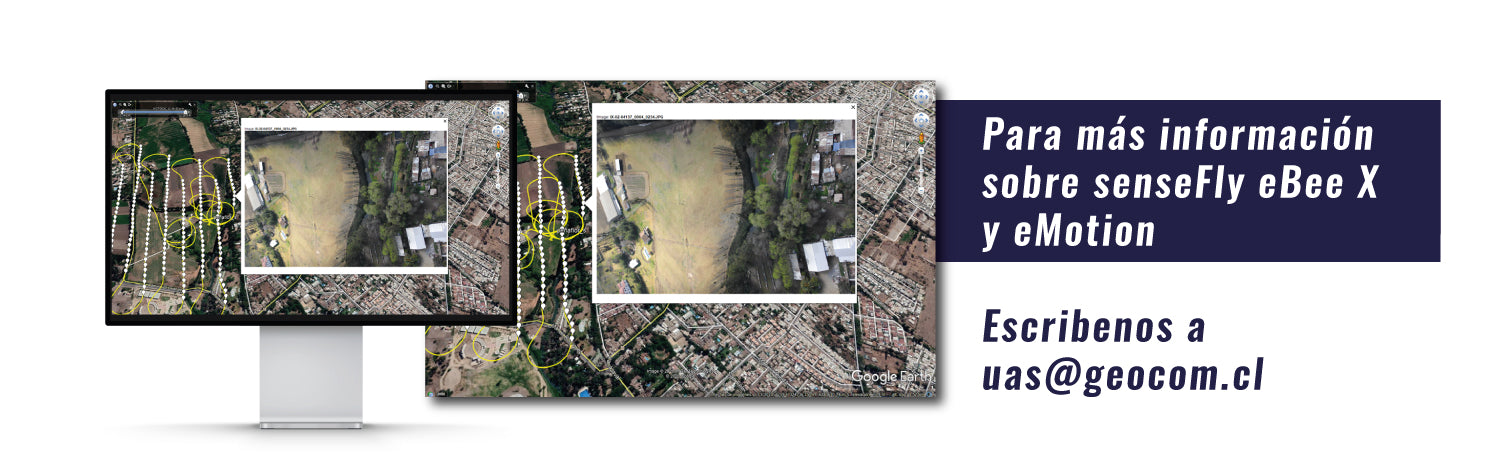
This step is one of the most attractive features of the post-flight module, as eMotion allows you to export various products, notably the geotagging of images both internally in their metadata and externally in a TXT file. Other outstanding products include the generation of a KML file, which allows us to visualize the flight path along with its images in Google Earth, and finally, photogrammetric projects can be generated with all parameters preloaded in Trimble Business Center, Pix4D, and Agisoft Metashape.
REQUEST SOFTWARE QUOTE
Compartir:
Robotic Surveys with TDC600
New Trimble RealWorks v11.3 Release