

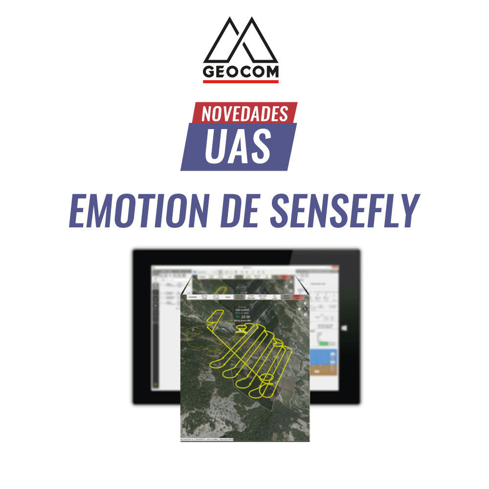
Learn about senseFly eMotion software
eMotion is an advanced, reliable, and intuitive multiplatform that simplifies the entire workflow—from flight planning to PPK trajectory processing—of the eBee X.
Features and Benefits
Simplified Interface
Suitable for beginner operators starting with their photogrammetric flights, as it offers a user-friendly interface, while still including advanced functions that allow for the proper collection and management of captured geospatial data.

Operational Flexibility
It allows for the planning of all drones developed by senseFly, offering various flight strategies that will enable the operator to select the most appropriate one according to the project's characteristics.
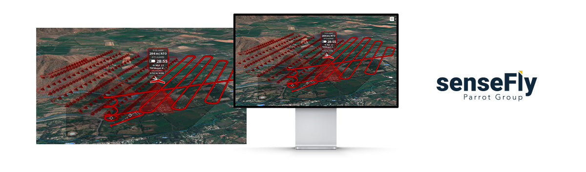
3D Visualization
When flying with an unmanned aerial system, operational safety is crucial. eMotion provides a new dimension of management, helping to plan, simulate, and control the trajectory of the equipment with greater precision, thus aiding in the optimization of time in the field.

Connectivity
The platform is in constant evolution, aiming to meet every requirement of its operators, with efficiency being a priority. eMotion will connect to the drone, to airspace data, to real-time weather updates, as well as to powerful photogrammetric processing clouds.

eBee X workflow
1. Plan
This stage is fundamental for the correct data capture that guarantees photogrammetric products of high quality.
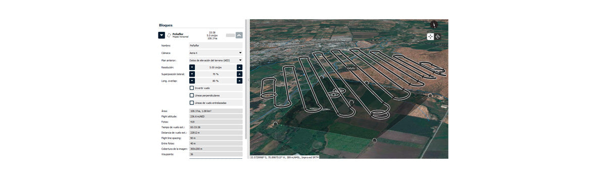
With eMotion, flights are built using horizontal, 3D, or corridor mapping blocks, which are generated from the area to be surveyed. By determining the camera to be used, its resolution (GSD), and the overlap of each photograph, the aircraft's flight path will be automatically generated.
To complete the flight mission, a takeoff point and a landing point will be defined, which will be essential for starting the pre-flight checks.
2. Simulate
This procedure will help optimize the flight, as the equipment's behavior in the area of interest will be known, thus minimizing the risk of accidents due to incorrect planning in complex areas with challenging terrain morphology.
3. Fly
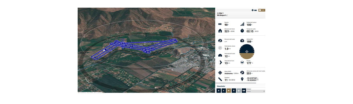
The flight plan will be wirelessly uploaded to the eBee X, which will be launched manually by the operator.
While the aircraft heads to the flight block, eMotion will always show its real-time trajectory, providing valuable information for safe operation, such as battery level and radio communication, flight time, wind speed, number of satellites, temperature, etc.

4. Export
This is the last stage of the eMotion operational workflow. The eBee X, being a system with PPK direct georeferencing, will provide precise coordinates for each photograph through the processing of its flight trajectory. This will allow dispensing with the use of ground control points when performing photogrammetric processing in Agisoft Metashape, UAS Master, Pix4D, or other software.

For more information uas@geocom.cl
Compartir:
Geocom SenseFly Partner
Robotic Surveys with TDC600