

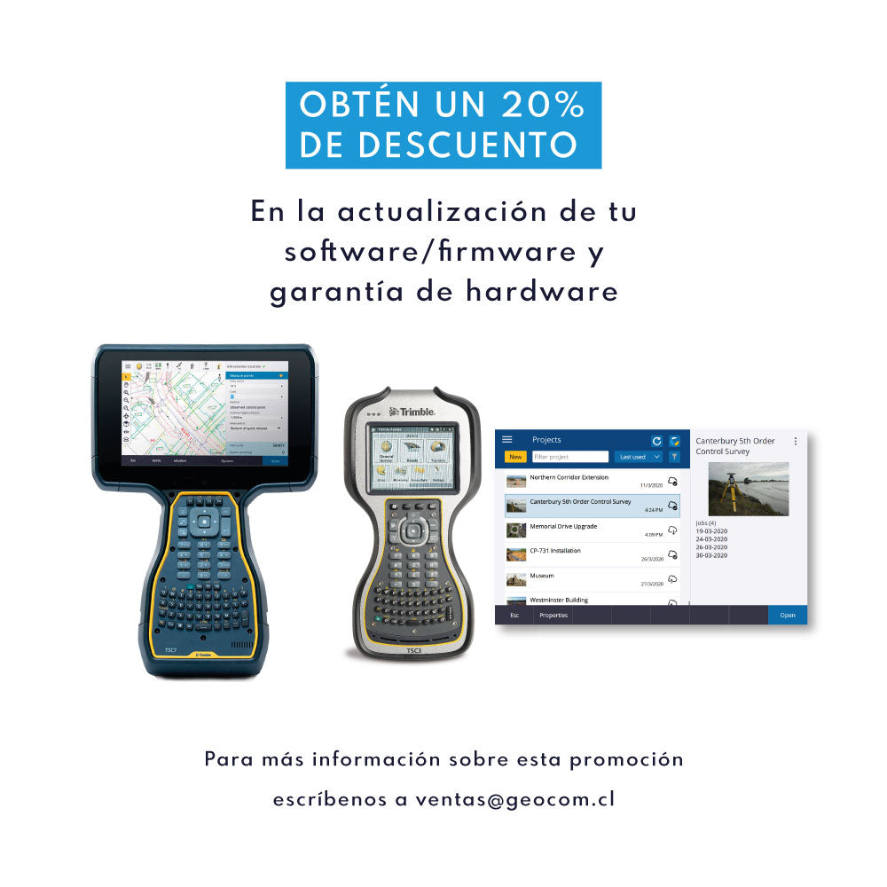
Get a 20% discount on your Trimble license renewal

Workflow of the GENIUS Mini UAV LiDAR System, the new small and lightweight laser sensor, specially designed to be mounted on drones. With GENIUS, you get highly dense point clouds, highly representative digital models, and high-resolution images.
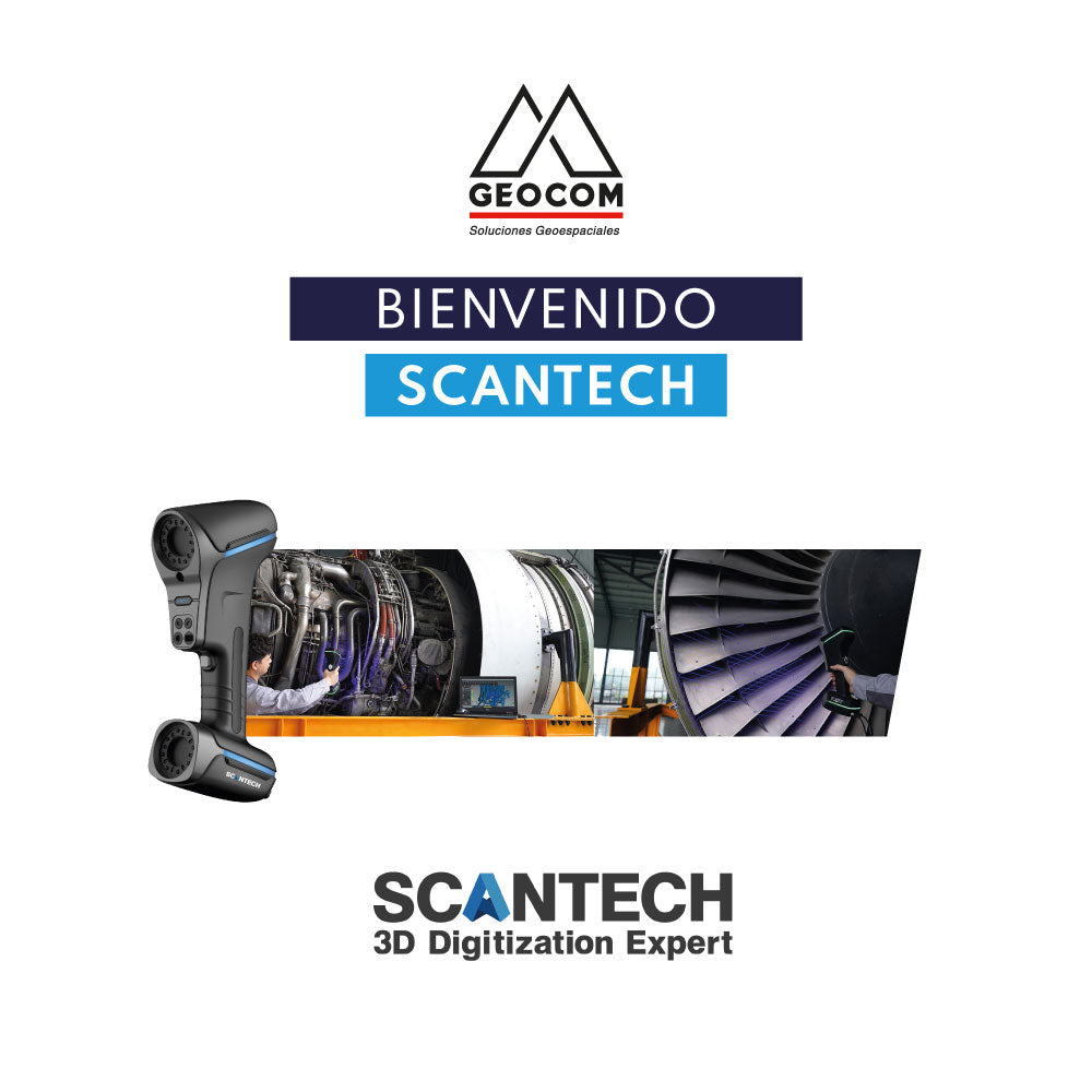
SCANTECH is a company specializing in the development and manufacturing of metrology scanners. It has a wide portfolio of laser scanners, which are present in more than 40 countries with over 2500 customers.
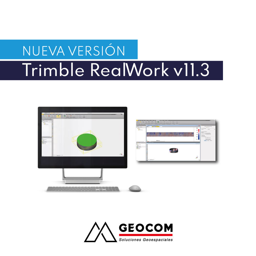
New Trimble RealWorks v11.3 Release
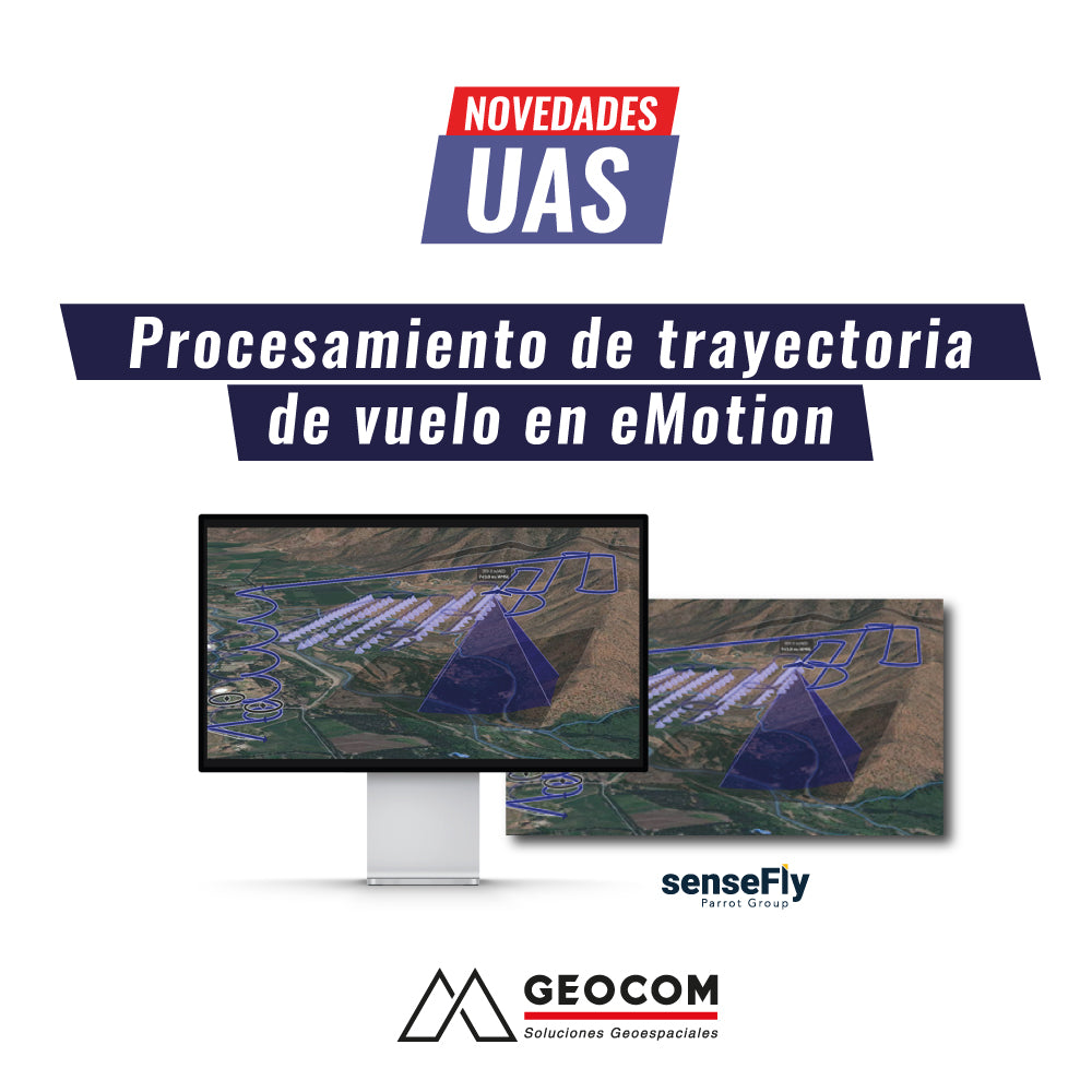
UAS News | Flight Path Processing in eMotion
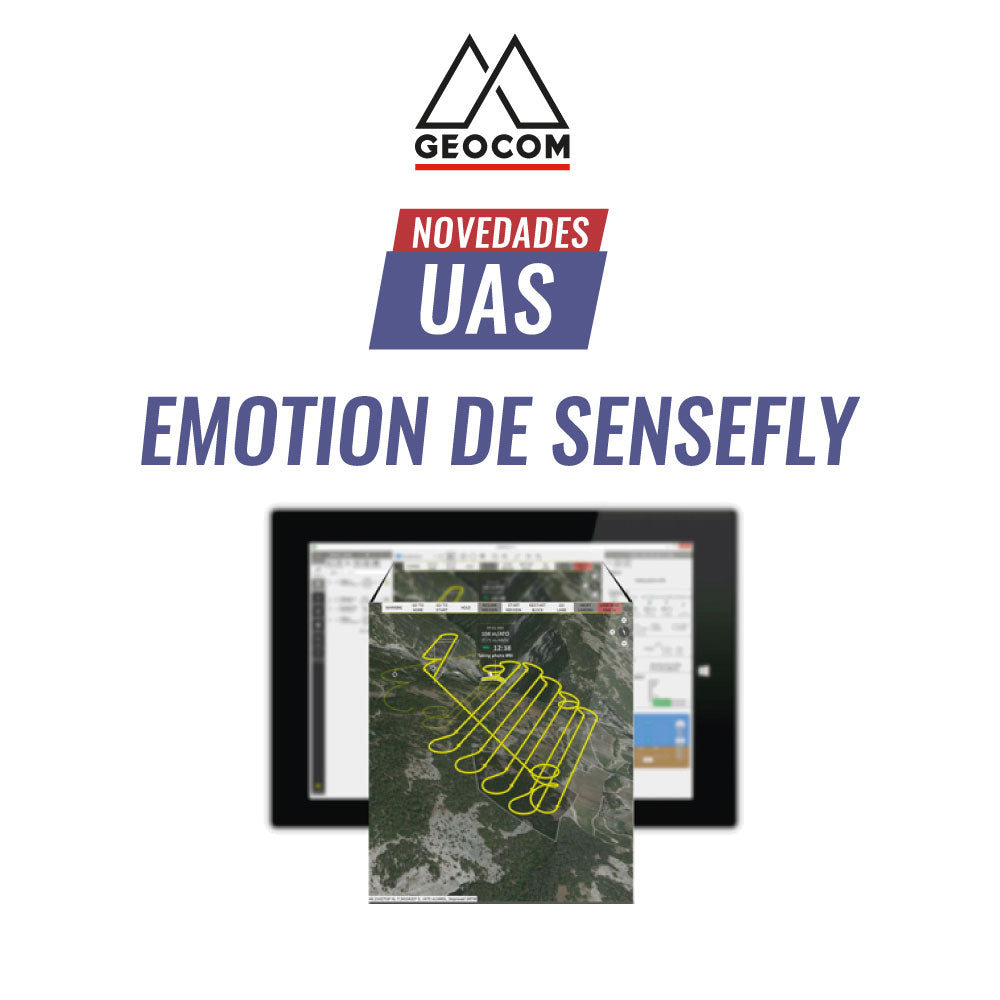
UAS News | eMotion by senseFly
Meet senseFly's eMotion software
eMotion is an advanced, reliable, and intuitive multi-platform that simplifies the entire operation workflow—from flight planning to PPK trajectory processing—of the eBee X.
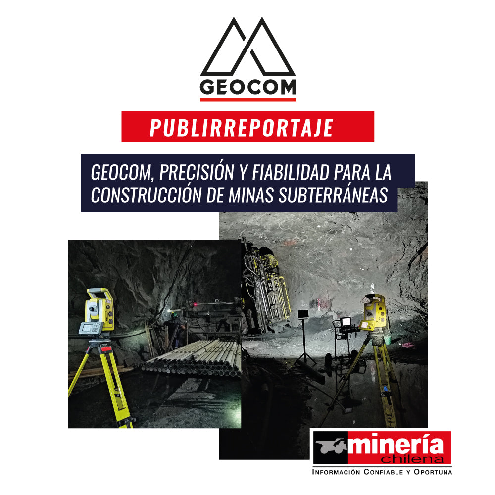
Advertorial | GEOCOM, Precision and reliability for underground mine construction
With more than 35 years of experience in the sector, the company offers cutting-edge advice in technology and topography services to be applied from the exploration stage to the production phase.

InfraWeek Latin America Bentley Systems
We cordially invite you to participate in InfraWeek 2020, the most important event on BIM solutions for Infrastructure from Bentley Systems Latin America.

UAS News | THERMAL SENSORS: REAL-TIME INSPECTION
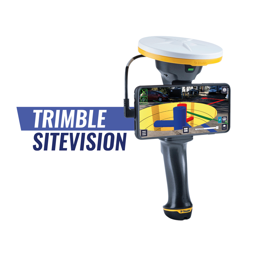
Trimble SiteVision | Outdoor Augmented Reality System
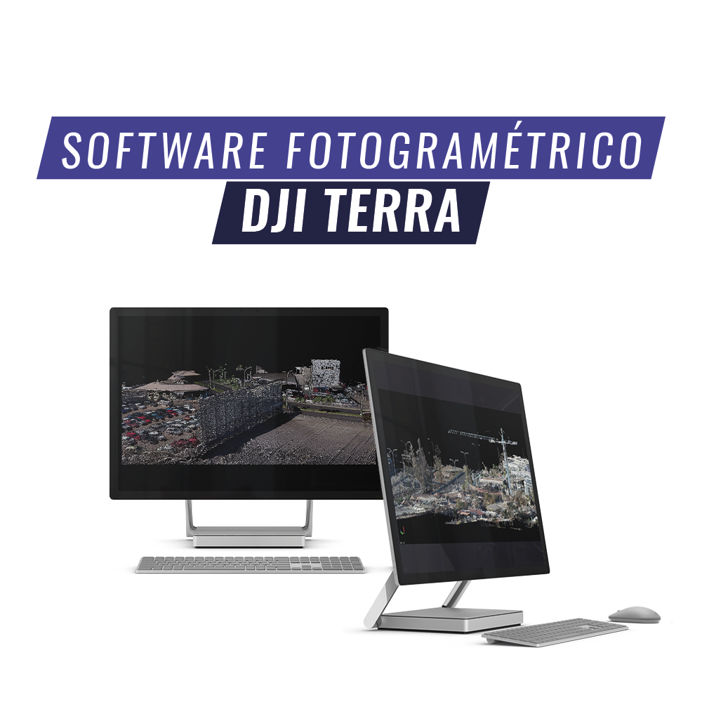
DJI Terra is an AI-powered mapping and processing platform that enables capture, analysis, and visualization. Its all-in-one solution helps industry users improve the efficiency of an entire workflow.
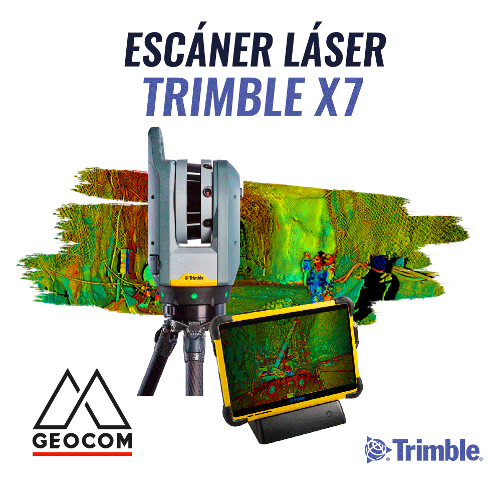
Trimble X7 | High-Speed Laser Scanner

Phantom 4 Multispectral Drone DJI Enterprise