

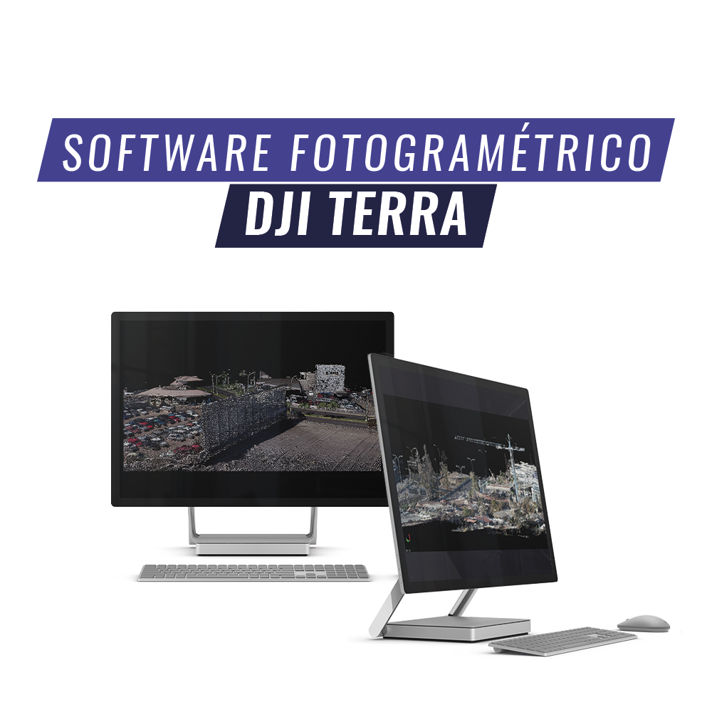

DJI Terra Photogrammetry Software
DJI TERRA is an AI-powered mapping and processing platform that allows capturing, analyzing, and visualizing.
Its all-in-one solution helps industry users improve the efficiency of a complete workflow.
Steps to obtain a final product

Mission Planning
With a user-friendly interface, flights for DJI equipment can be planned using vertical, oblique, and corridor photogrammetry.
Data Acquisition
The photogrammetric flight will be executed using a computer, with the direction of advancement and flight status visible at all times.

Area Mapping
An orthophoto and point cloud of the area of interest can be quickly generated in real time, which is very useful for users who need to obtain urgent products to make decisions in the field.
Data Analysis
Equipped with easy-to-use analysis tools that allow obtaining a variety of measurement data based on linear, area, and volumetric measurements.
2D and 3D Measurements

Perform terrain dimensions with easy-to-use analysis tools that allow you to obtain measurement data based on linear, area, and volumetric measurements.
Practical cases


DJI Terra Software compatible with the following Phantom 4 Series drones
Phantom 4 RTK (remote control)
Phantom 4 Pro V2.0
Phantom 4 Multispectral

Compartir:
Trimble X7 | High-Speed Laser Scanner
Trimble SiteVision | Outdoor Augmented Reality System