

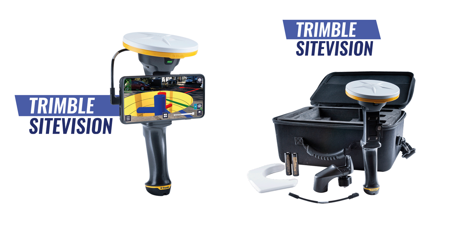

It allows complex 3D models to be overlaid on reality accurately and simply.
Main features
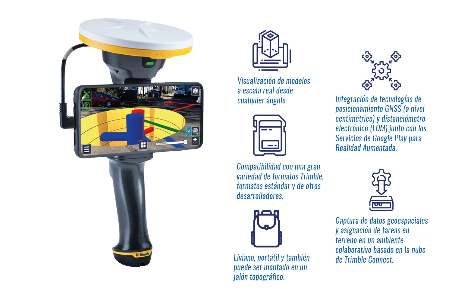
Functionalities
Importing different formats
Your models can come from different software sources, mainly Trimble Business Center and Trimble Tekla projects transformed into TrimBIM format (.TRB), Trimble Terrain Model surfaces (.TTM) or Trimble Sketchup models (.SKP).

With Trimble SiteVision you will be able to incorporate standardized formats into your workflows in BIM environments (Industry Foundation Class .IFC) and engineering design (LandXML .XML). As also third-party formats: .DWG Autodesk and .SHP from Esri.
Display modes
Apply a cross-sectional view and/or modify the transparency level of the model with respect to the real terrain. Use the pit view to observe models whose location is below the actual ground surface and switch to 2D view mode to review the model in plan.
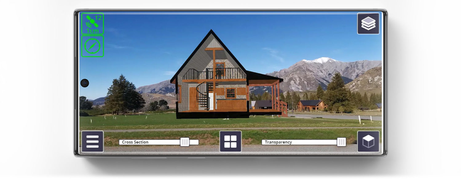


The layer manager will help you organize the visualization, especially when your model contains a lot of information, and if it is a BIM model, you can also select any element on the screen and view its attributes.


Measurement modes
You can combine GNSS, EDM and Augmented Reality capture modes to measure points, inclined, horizontal, vertical distances, slopes and cut-fill values.


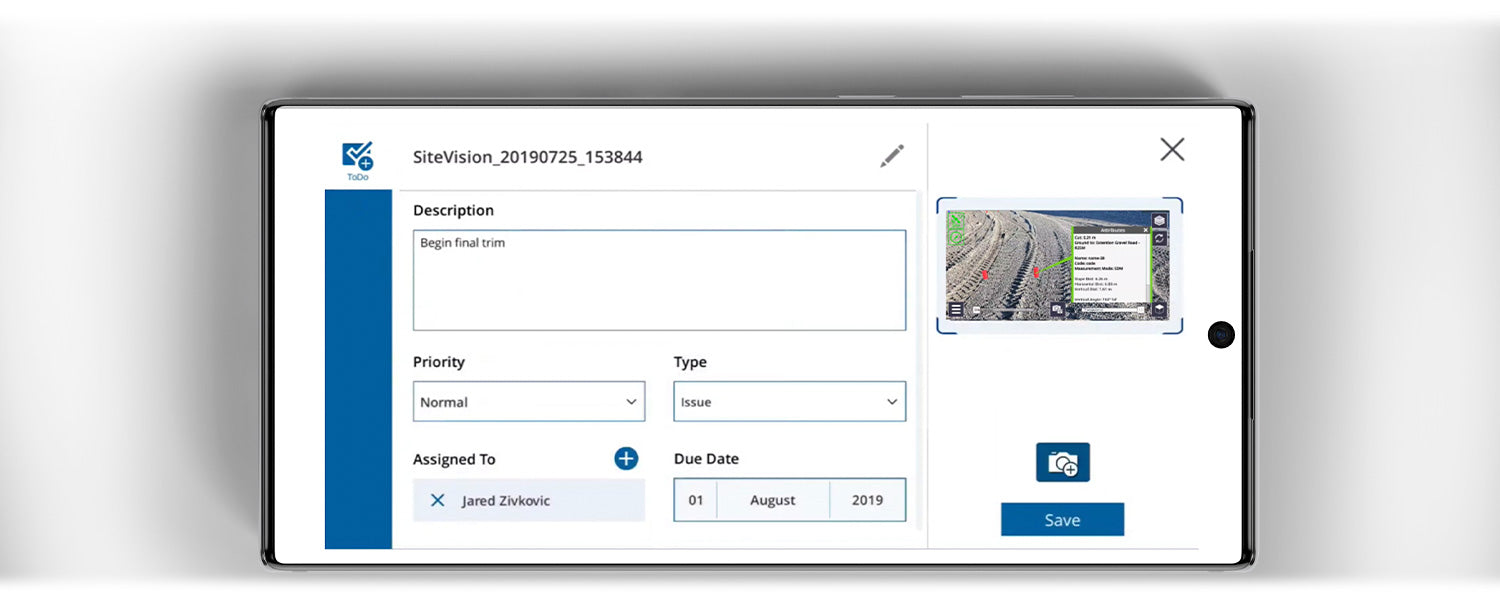
Task Assignment (To-Do's)
If you think someone else should see what you are seeing with SiteVision in the field, take a screenshot and share it with more people within your organization. You can assign tasks, add comments, indicate a problem, etc. Within a collaborative framework and with a simple and intuitive interface.
Applications
Architecture
Visualize your designs on site from different perspectives: 2D plan, 3D view, even from inside the model itself. Take measurements between the design and the site itself. Capture views and share them with your clients.
Building
Review your project in detail by applying transparencies and cut views on your BIM models, detect inconsistencies, interferences or omissions in your design. Organize the display of model elements with SiteVision's layer manager, and you can also review the attributes of each of them.
Civil Works
Plan, place conceptual engineering models, measure with centimeter accuracy and share your data in a collaborative context, calculate cut-fill values and slopes on surfaces or other engineering designs. Assign tasks to users within your organization. Detect interferences with the real world and visually compare the model with your construction progress.
Basic services
Locate your power line, communication, drinking water or sanitation projects quickly and intuitively, visualize models located below the ground surface with the pit view and capture geospatial information to complement your topographic surveys.
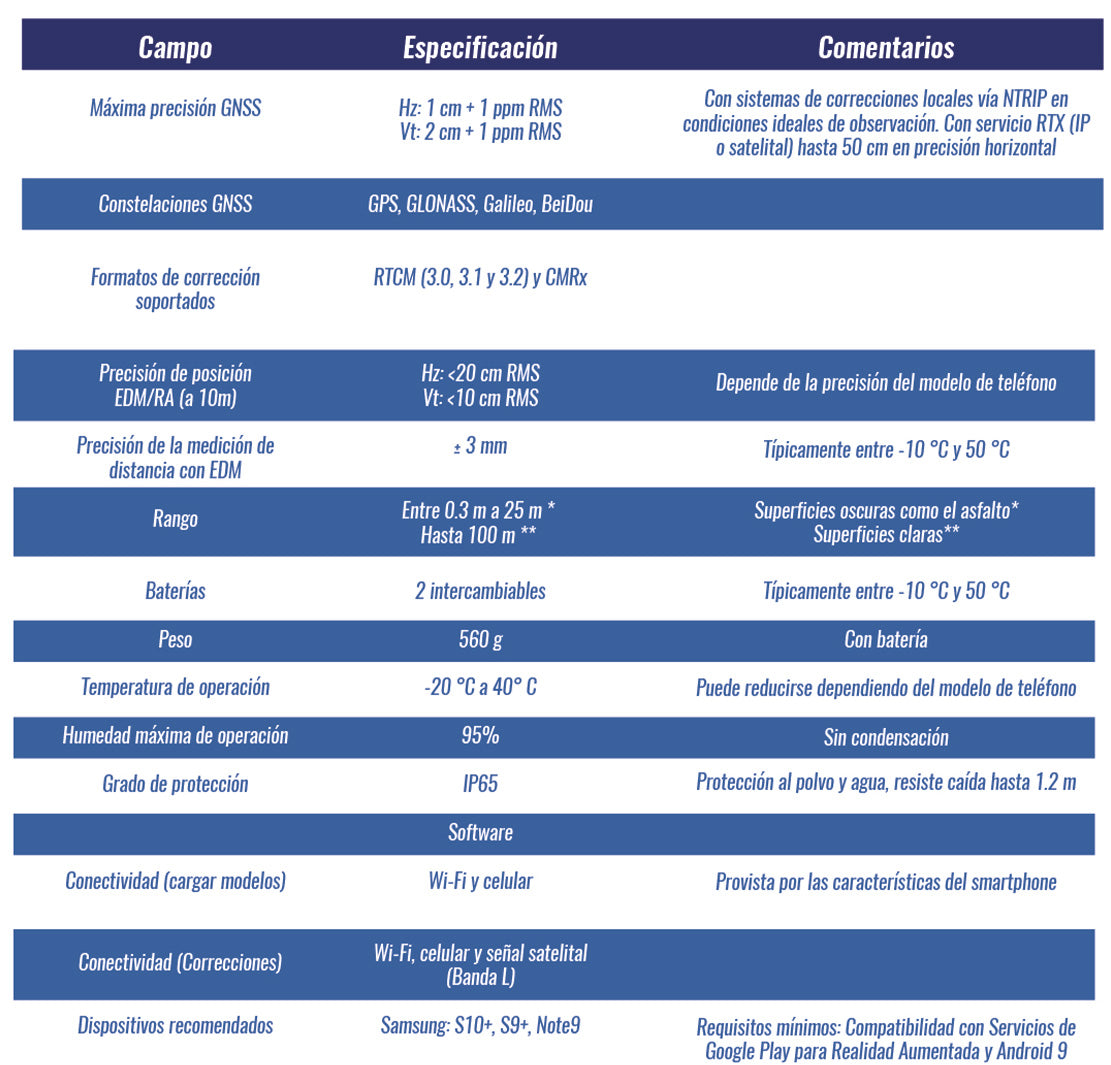
Specific information
Compartir:
DJI Terra Software
UAS News | THERMAL SENSORS: REAL-TIME INSPECTION