

BatimetríaCaso de éxito UASDJIDji enterpriseDronDronesEcosondaNoticia UASNoticias UASSPH EngineeringUASUAS GEOCOMUAV
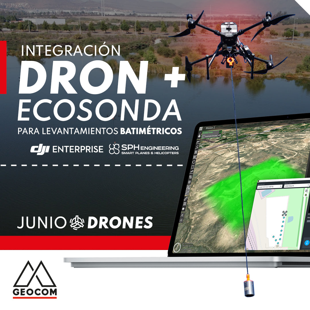
Drone and echo sounder integration for bathymetric surveys
With SPH Engineering, it is possible to mount an echosounder on a drone or UAV (unmanned aerial vehicle), thus allowing bathymetric surveys to be carried out more efficiently and with several advantages over traditional methods.
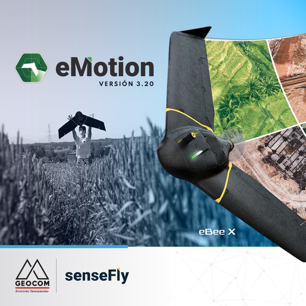
Learn about the latest eMotion 3.20 features
eMotion is the advanced, reliable, and intuitive multi-platform that supports our eBee X from flight planning to PPK trajectory processing.
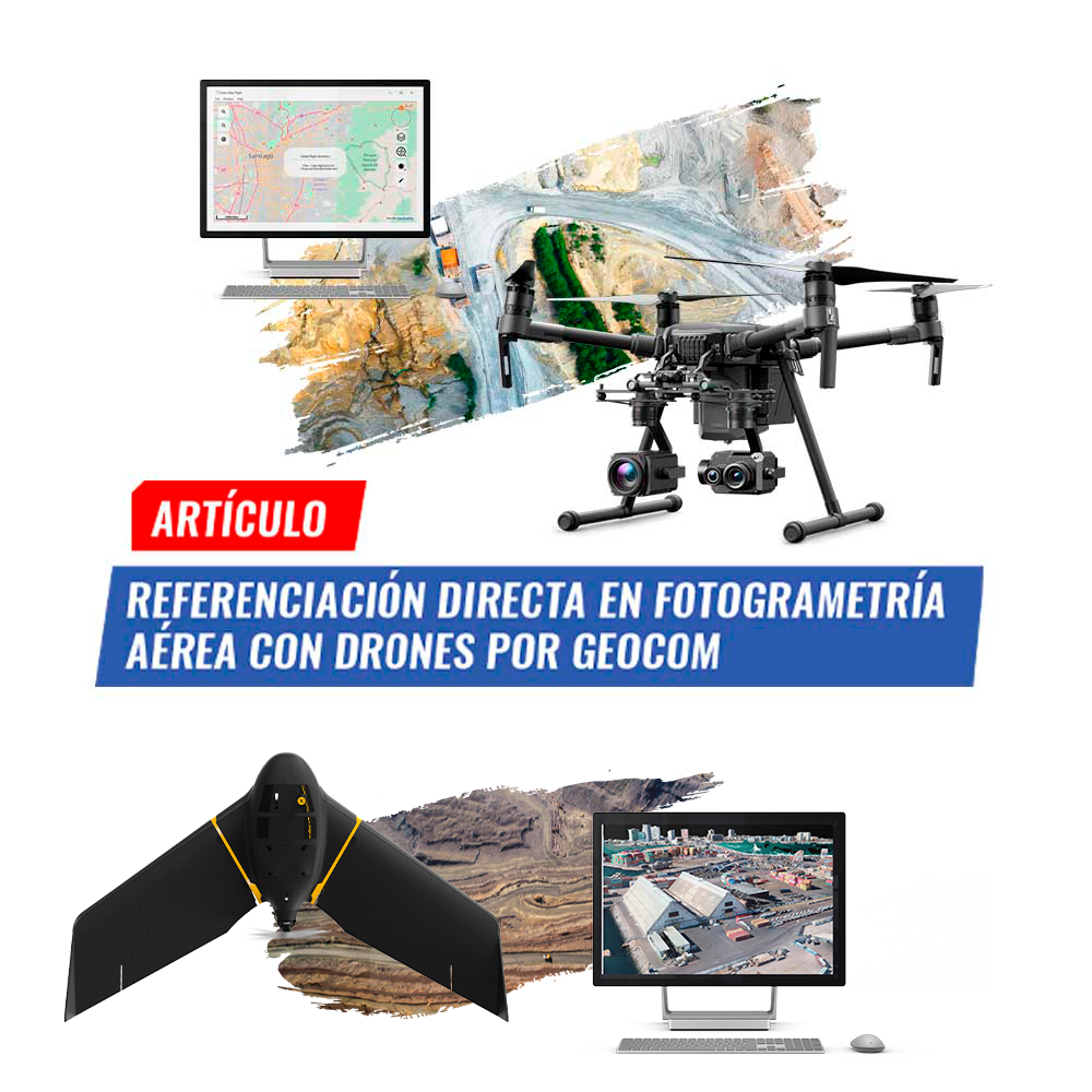
Direct Georeferencing in aerial photogrammetry with drones by GEOCOM
Photogrammetry has contributed greatly to data acquisition for topographic representation at various scales. Clearly, UAS (Unmanned Aerial Systems), better known as drones.