

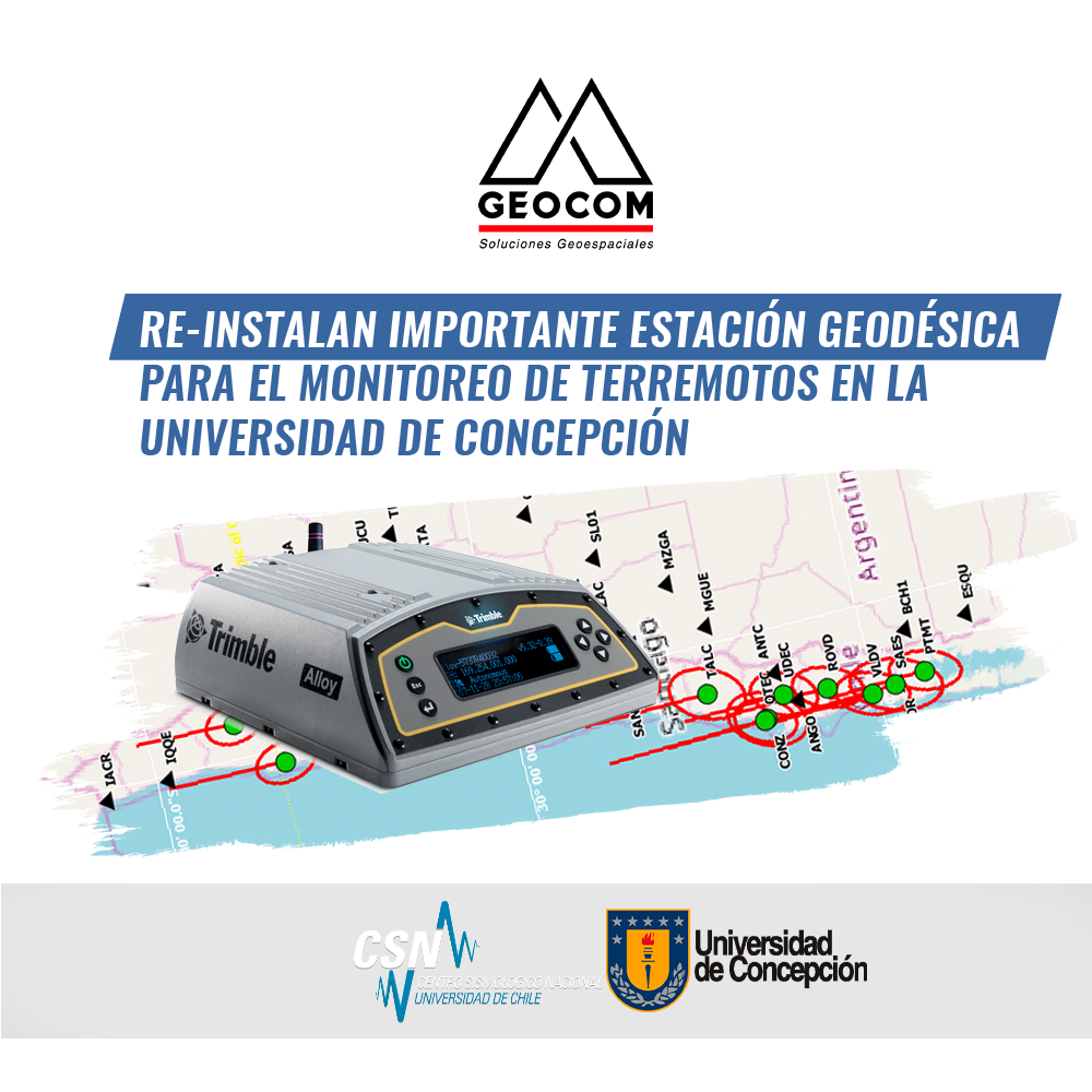
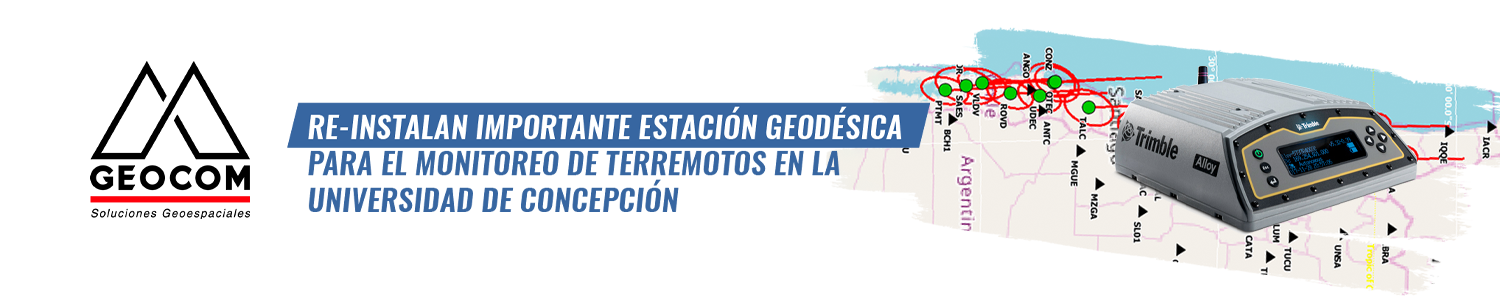
On November 21, 2019, the GNSS (Global Navigation Satellite System) observation station was reinstalled at the former TIGO (Transportable Integrated Geodesical Observatory) integrated Geodetic station, now located in Argentina (AGGO) (see http://www.aggo-conicet.gob.ar), on the grounds of the University of Concepción. This was a joint effort between the University of Concepción (UdeC), the National Seismological Center (CSN), and the company GEOCOM, Trimble's representative in Chile, to continuously monitor the deformation to which this area is subjected.
GNSS Station
This station was initially installed in 2002, with the beginning of operations of the German Geodetic Observatory TIGO, and operated until April 2015, subsequently moving to La Plata, Argentina. A GNSS system allows the reception of signals from different satellite constellations (the most known being the GPS system) to obtain the station's position with great accuracy, providing important information to understand processes related to earthquakes and Earth deformation. Hayo Hase, Director of the TIGO observatory, said at the time: “At the end of the TIGO project operations, together with BKG, we left the GNSS structure available at this point to continue studies for science and humanity,” an objective that is being realized today with the re-activation of this site. Thus, today we can have a record of how the position of this site has varied from 2002 to the present, providing unique information to quantify the deformation associated with the 2010 earthquake.
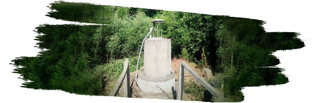
As one of the geodetic techniques for observing geocentric position by means of artificial satellites (GNSS), TIGO installed several stations in the Concepción area, the main one being located at UdeC, which is named CONZ 41719M002 within the global network, where there are also gravity measurements, SLR (Satellite Laser Ranging) and VLBI (Very Long Baseline Interferometry). Figure 1 shows the antenna installation.
Observation
The station has a multi-frequency and multi-constellation receiver that simultaneously observes GPS, GLONASS, GALILEO, and BEIDOU, providing a daily average of data from 35 satellites. This is one of the new requirements of the IGS (International GNSS Service) for stations in the global network and is one of the attributes of this site. Figure 2 shows the different constellations available.

Seismic Cycle
The largest earthquakes on the planet are generated in subduction zones, where an oceanic tectonic plate slides under a continental plate, as is the case in Chile. The seismic cycle is a repetitive process during which energy accumulates for decades to centuries (interseismic phase) and is suddenly released by earthquakes (coseismic phase). In the years following the release, a post-seismic phase occurs where part of the stresses induced by the earthquake gradually continue to adjust. Recent studies indicate that crustal movement patterns during the accumulation period allow identifying areas where energy accumulation is greater, which are generally the areas where more energy is released in a large earthquake.
Through GNSS observations, we can continuously estimate the geocentric position of a station. This position is compared daily with respect to the origin of the measurements. With this, we obtain the variation in the station's position as a function of time. This variation in position, or displacement, is directly linked to the superficial deformation caused by the interaction between the Nazca and South American plates and allows us to monitor changes in deformation during the different phases of the seismic cycle.
The CONZ station is one of the few GNSS stations in Chile that recorded crustal deformation before, during, and after the 2010 earthquake, which allowed observation of the seismic cycle in its three stages: interseismic, coseismic, and post-seismic. Figure 3 shows these three parts of the seismic cycle, including recent estimates.

During the 2010 earthquake, the CONZ station moved almost 3 meters to the west, 60 cm to the south, and experienced an approximate descent of 5 cm. After the earthquake, the magnitude of post-seismic deformation could be recorded, which decays after the earthquake, a process that lasts several years until interseismic deformation again predominates. Thanks to the reinstallation of this station, it will be possible to identify when this area will again enter an interseismic energy accumulation phase and thus evidence the changes in crustal displacements that occur during this process.
Data Distribution
The generated data will be published on the CSN website http://gps.csn.uchile.cl, and these observations will also contribute to the global IGS network.
GEOCOM GNSS Network
For its part, CONZ will integrate the GEOCOM GNSS Network, emitting a continuous stream of raw GNSS observations that are being processed to send multi-station and single-station differential corrections for RTK observations using the NTRIP Caster that GEOCOM has maintained for over a decade.
By Juan Carlos Báez | Marcos Moreno | Ariel Silva | Héctor Contreras

Compartir:
Trimble Business Center
APPLICATIONS OF AERIAL PHOTOGRAMMETRY IN MINING: EXPERIENCES FROM THE USE OF DRONES