

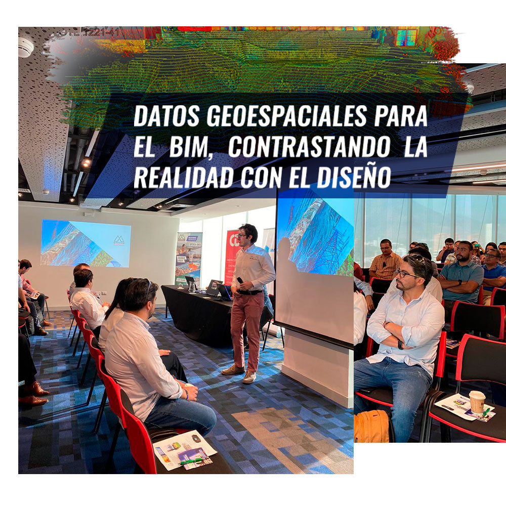

With a great turnout, on Thursday, January 23, together with BIM Forum, we held our first event of the year on BIM.
We discussed geospatial capture techniques with Laser Scanners, aerial photogrammetry, the materialization of construction, monitoring using BIM models, among other topics.
We appreciate the interest shown by the participants and the invitation from BIM Forum.
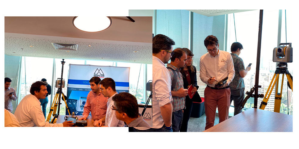


Find out about our activities by signing up for our GEOCOM community
Compartir:
APPLICATIONS OF AERIAL PHOTOGRAMMETRY IN MINING: EXPERIENCES FROM THE USE OF DRONES
Trimble SiteVision | Augmented reality for construction