

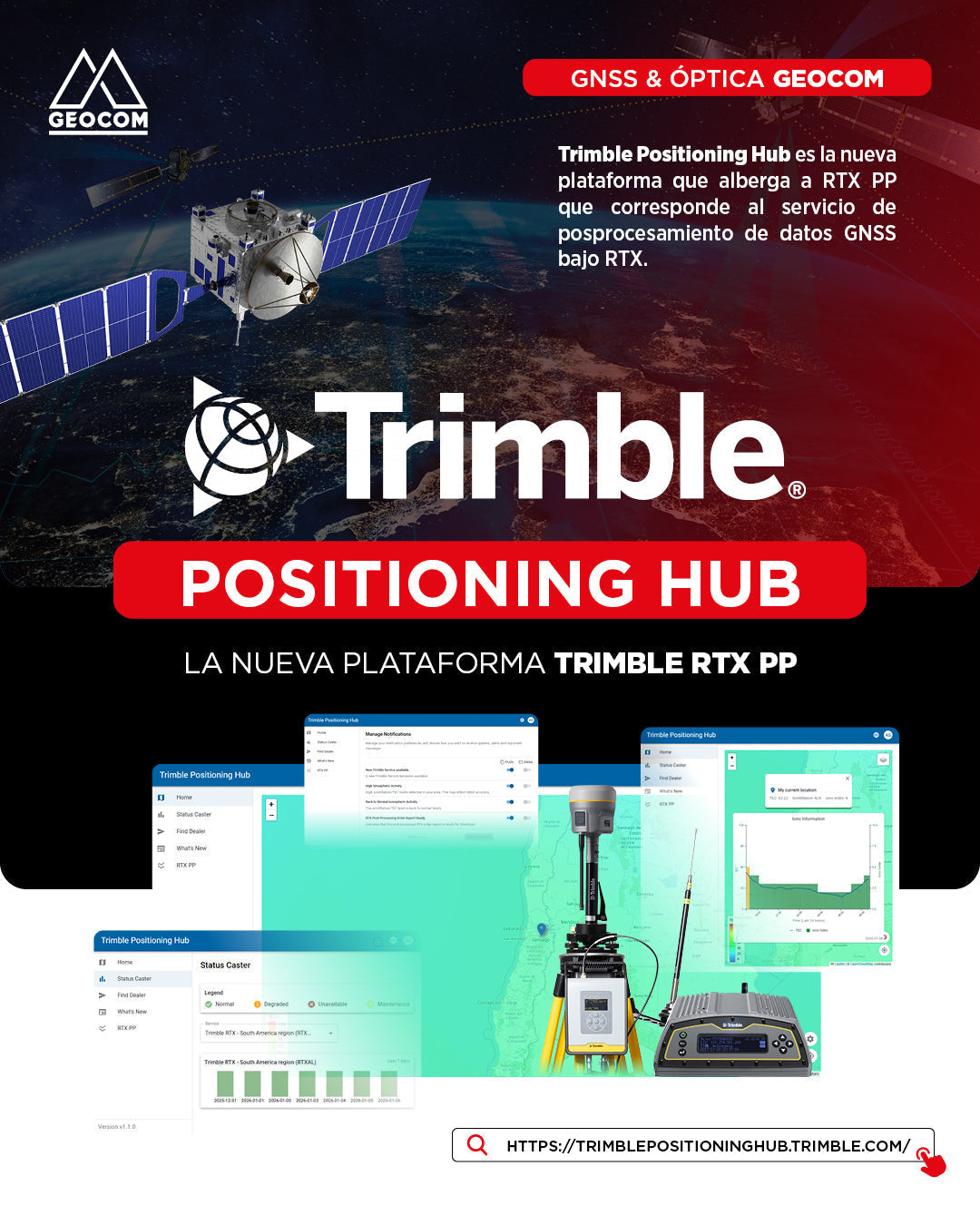

Trimble Positioning Hub: The New Era of Trimble RTX Post-Processing
In the dynamic geospatial world, efficiency and accuracy are fundamental pillars. For this reason, we introduce the Trimble Positioning Hub, the new comprehensive platform designed to host the RTX PP (Post-Processing) service. This space not only simplifies GNSS data post-processing using RTX technology, but also centralizes critical tools for the success of your projects.

The Heart of Management: Trimble ID
To start using this platform, the only requirement is to have a Trimble ID (link 🔗). It is important to note that creating this account is completely free.
By using your Trimble ID, you gain access to key benefits:
-
Calculation history: Allows detailed tracking and monitoring of all your post-processing activity, an extremely useful tool for project management.
- Personalized notifications: The system can send you alerts about new services, processing reports ready for download, and notices about ionospheric activity in your area.


Real-time environmental and system monitoring
One of the great innovations of the Trimble Positioning Hub is its ability to offer a general overview of working conditions before processing:
1. Atmosphere
Upon entering and sharing your location, the Hub displays information on TEC (Total Electron Content) and Scintillation. These factors are critical for GNSS accuracy. Additionally, this information can be cross-referenced on specialized sites such as centelleo.geocom.cl and gnssplanning.com.
2. Caster Status
The platform allows monitoring the operability of Trimble's servers (Casters) globally. For our region, it is especially recommended to monitor:
-
Trimble RTX - South America region (RTXAL)
-
Trimble RTX Global (RTXIP)


RTX PP: Simplicity in Post-Processing
The RTX PP service stands out for its ease of use, eliminating the need for a dedicated physical base to determine precise coordinates (absolute positioning).
How does it work?
- Import: Simply upload your GNSS observations in raw Trimble format or RINEX format.
- Automatic Detection: The system autonomously identifies the coordinate system and tectonic plate, although it allows manual adjustment if the user requires it.
-
Results Management: Unlike previous versions, you can now review and download results from previous processing directly from the "Orders" tab.
Technical note on accuracy: Trimble RTX determines coordinates associated with the instantaneous epoch. To provide greater productivity to your workflows, the Trimble ecosystem allows the necessary transformation to bring this data to official reference epochs, such as SIRGAS-Chile 2025. For more information, check the Trimble Geodetic Library inserted in TBC.


Conclusion
The Trimble Positioning Hub is not just a calculation tool; it is a control center that provides autonomy, traceability, and precision to professionals seeking to optimize their resources in the field.
Do you want to delve deeper into your Trimble ID configuration or need technical support for your first post-processing in the Hub? At GEOCOM, we are ready to assist you.
Compartir:
XGRIDS Lixel L2 Pro: Mobile Mapping and Productivity in Underground Mining
Air Magnetometry with Sensys R1: Detection of Unrecoverable Objects in Mining