

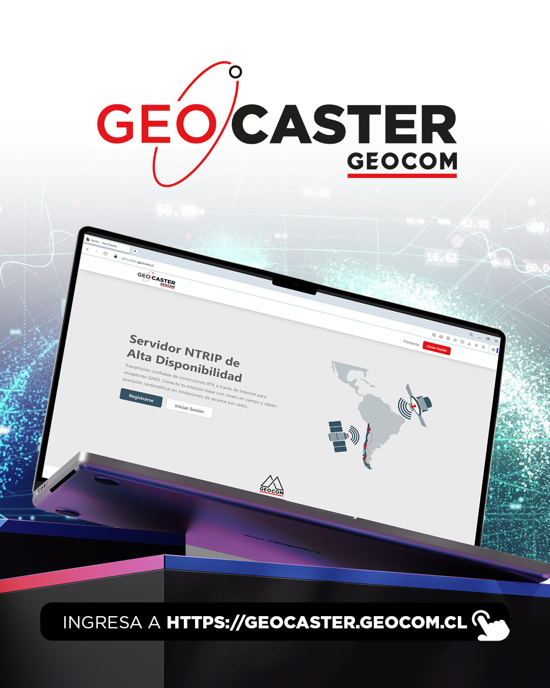
GEOCOM presents GEOCASTER: The new era of free NTRIP connectivity for our clients
In the geospatial world, precision is as important as the agility with which we obtain data. Understanding this need, GEOCOM is proud to announce the launch of GEOCASTER, an exclusive and free service designed to enhance our clients' productivity through the NTRIP protocol.
What is GEOCASTER?
Geocaster functions as a reliable connection bridge designed to send differential corrections over the internet, facilitating RTK positioning. Its main task is to efficiently retransmit data: your GNSS base station, such as a Trimble R12i, connects to Geocaster and sends real-time corrections (in formats like RTCM or CMRx) to a specific mount point.
Once the base is transmitting, Geocaster distributes the data, allowing users and passwords to be easily created for mobile equipment that will receive the signal.


Borderless Versatility: Technological Applications
The true power of GEOCASTER lies in its universal compatibility. No matter if you're airborne, capturing point clouds, or performing a traditional survey; the system ensures centimeter precision - depending on the baseline length - across various platforms:
- DJI Enterprise Drones: Optimize your photogrammetry and/or LiDAR missions with different models, receiving corrections for high trajectory accuracy.
- RIEGL Laser Scanners (VZ-i Series): Achieve high-precision georeferenced registration in real time for your terrestrial scans, facilitating the merging of complex point clouds.
- SLAM XGRIDS Systems: Enhance the trajectory of your mobile captures, ensuring your 3D models maintain the correct scale and position in dynamic environments.
-
Trimble GNSS Receivers: Maximize the performance of your Trimble equipment, leveraging stable data flow for surveying, construction, and geodesy work.

Key Benefits of Geocaster
- Zero Cost: An exclusive service for GEOCOM clients.
- Total Compatibility: Combine your equipment seamlessly through GNSS RTK.
- Simplified Management: Manage your own users and passwords intuitively.
- Real-time Accuracy: Guarantees reliable coordinates in the field, regardless of the complexity of the hardware used.

Compartir:
Special GEOCOM Business Hours for Year-End Holidays
XGRIDS Lixel L2 Pro: Mobile Mapping and Productivity in Underground Mining