

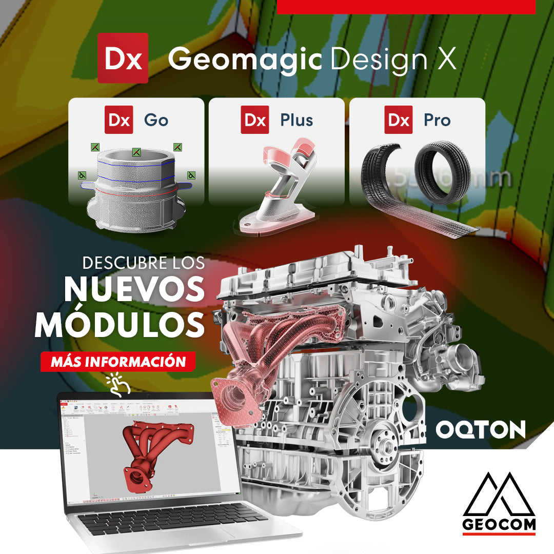
New Geomagic Design X modules: Go, Plus, and Pro

Scantech Nimbletrack: Marker-free wireless scanning

Dear clients and partners, Due to the celebration of the Fiestas Patrias, we would like to inform you about our special operating hours during the week of September 16 to 20, 2024.
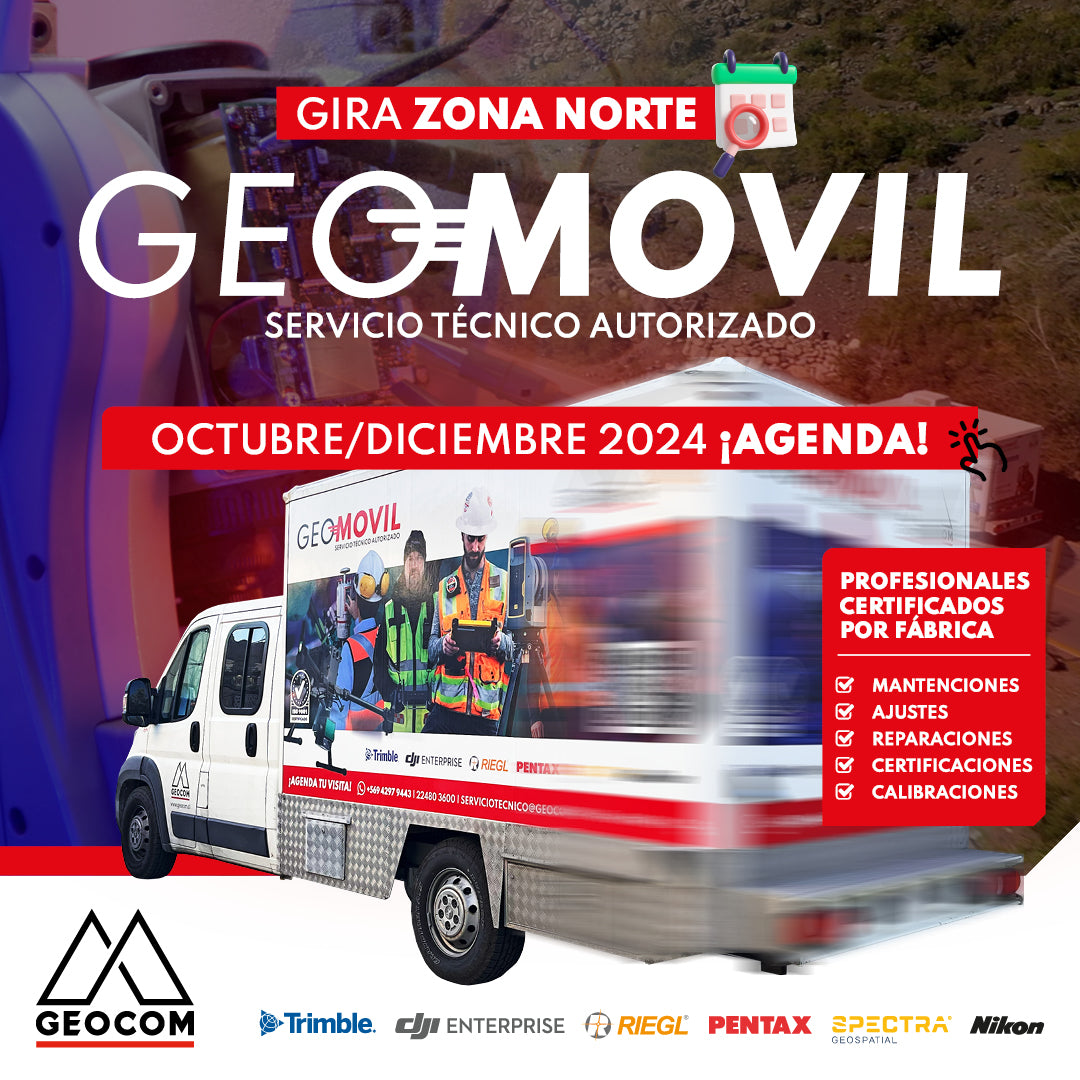
GEOMÓVIL GEOCOM | NEW TOUR OCTOBER - DECEMBER 2024
We are pleased to announce our new tour to the north of the country with our authorized on-site technical service. During the months of October and December, we will be visiting the cities of: 📍 Antofagasta, 📍 Calama, 📍 Iquique and 📍 Copiapó
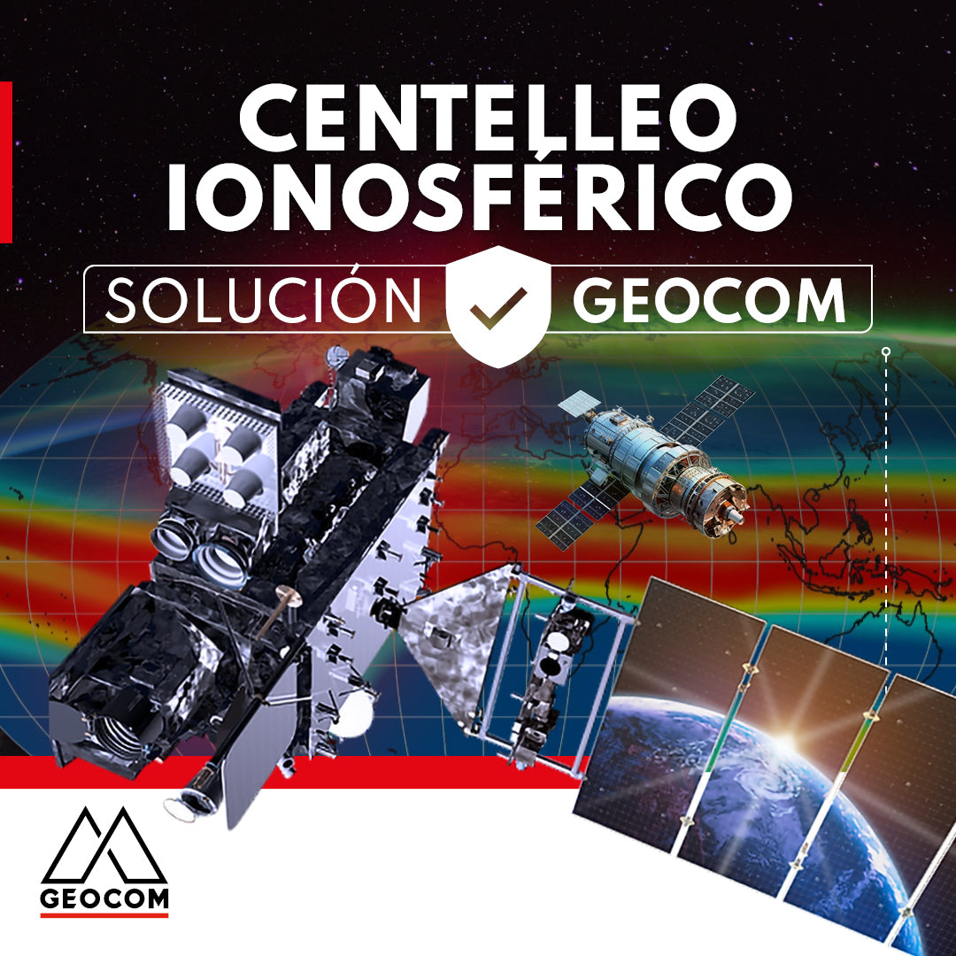
GEOCOM presents a solution for ionospheric scintillation
This article reviews the impact of the solar cycle and ionospheric scintillation on GNSS users and manufacturers. In addition, GEOCOM's developments and technology to mitigate these effects on satellite positioning are presented.
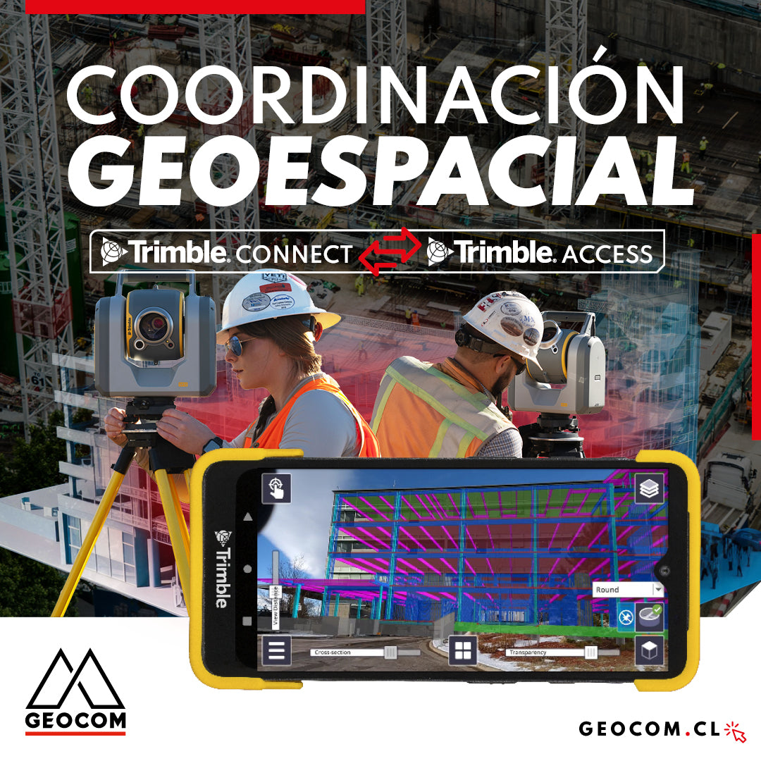
Geospatial Coordination | Trimble Connect Workflow with Trimble Access
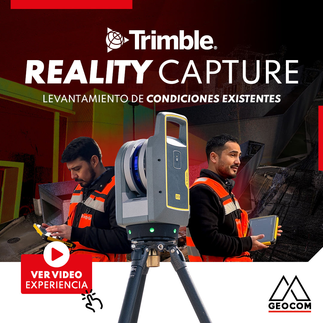
Trimble Reality Capture: Existing conditions survey
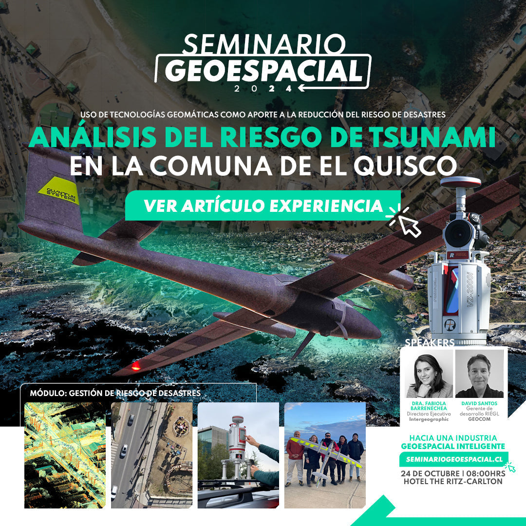
Tsunami risk analysis on the coast of El Quisco
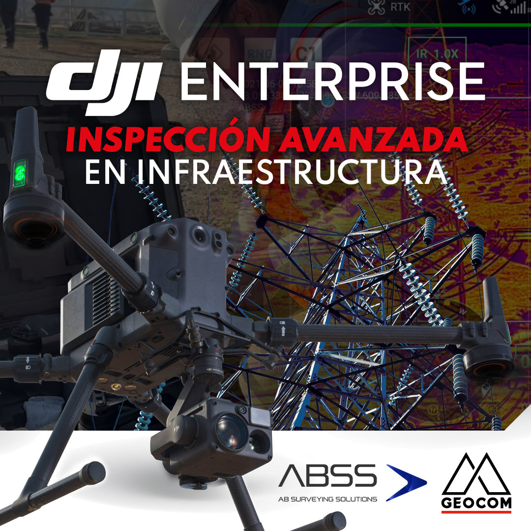
DJI Drones | Advanced infrastructure inspection
DJI drones have revolutionized inspections thanks to their advanced technology and versatility. These systems can be equipped with different types of high-resolution sensors (primarily RGB and thermal), which allow for capturing highly detailed photos and videos of various elements.

Trimble Forensics Reveal: Scene Digitization
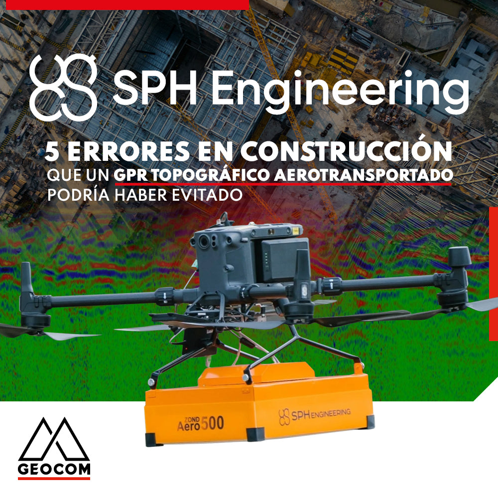
5 Construction Errors a Topographic Airborne GPR Could Have Prevented
Are you going to work on a large construction or excavation project? If so, you shouldn't forget an important step in this process: utility mapping. This involves identifying the exact location of all underground utility infrastructure, such as gas lines, water pipes, electrical lines, and communication lines, among others, to avoid accidentally damaging them in the process and prevent being responsible for a large and costly disaster.
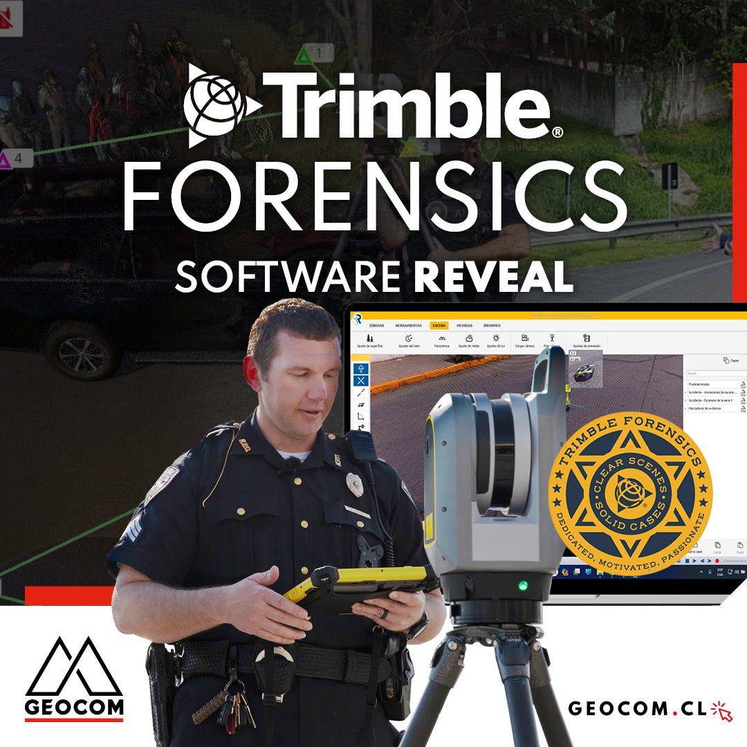
Trimble Forensics: Software Reveal
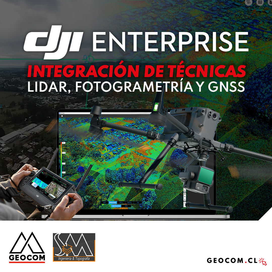
DJI Drones | Integration of LiDAR, Photogrammetry, and GNSS Techniques
Success story, where a project was executed integrating different geospatial capture techniques, using a DJI M350 drone with two sensors: Zenmuse P1 for photogrammetry and Zenmuse L2 for LiDAR. In this article, we will review the key points that made the use of both sensors necessary to provide a more representative and accurate capture of the area.

Trimble Forensics: X7 Laser Scanner
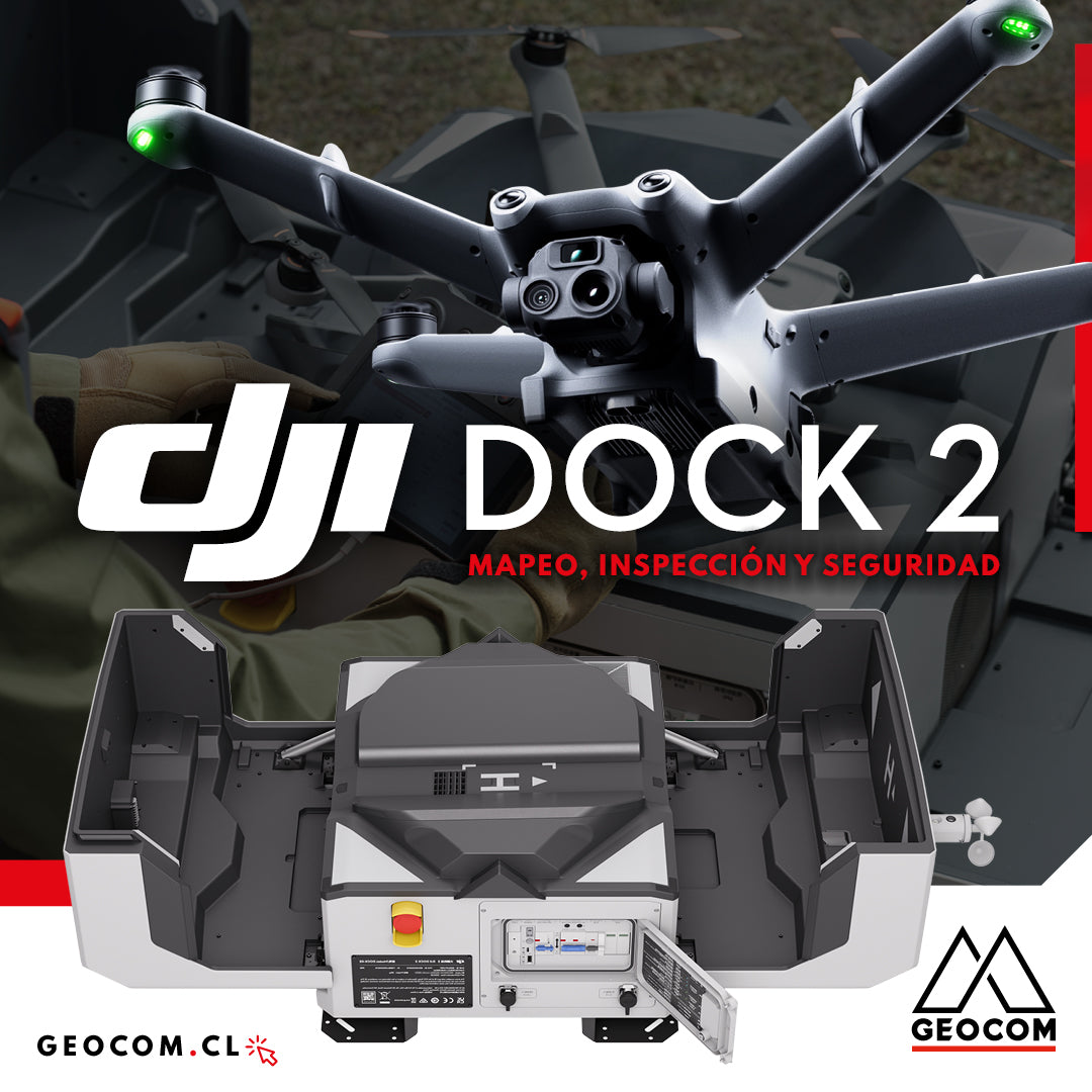
DJI Dock 2: Mapping, Inspection, and Security