

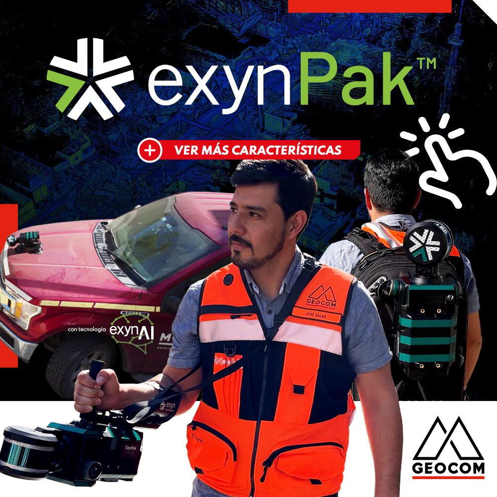
ExynPak | Mobile SLAM System for Challenging Environments
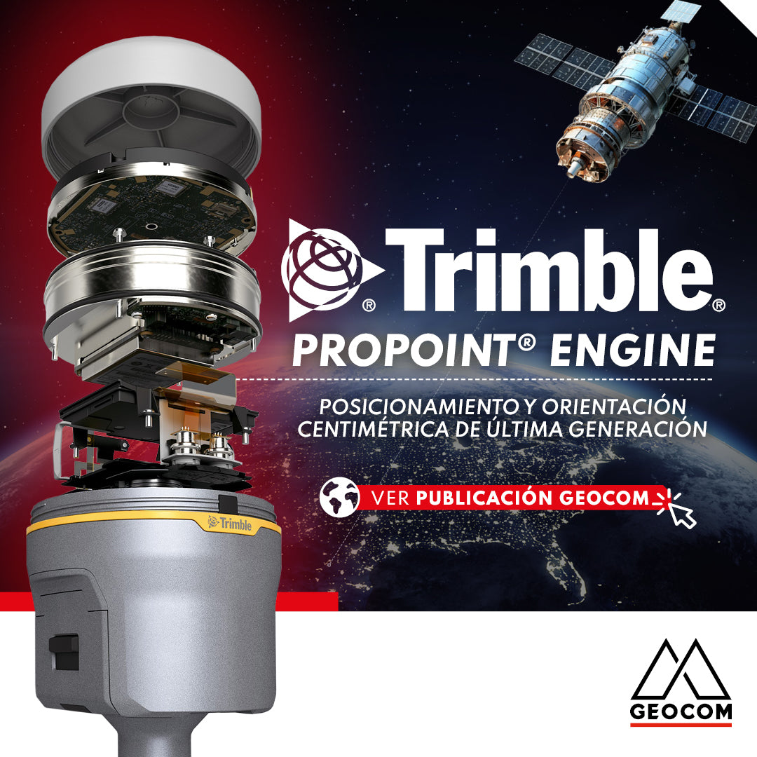
Trimble ProPoint Engine: Next-Generation Centimeter-Level Positioning and Orientation
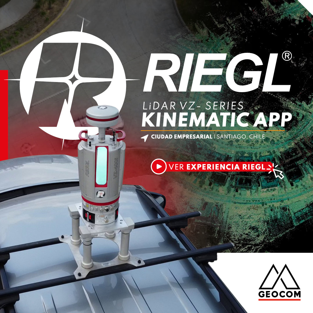
RIEGL VZi-Series: Kinematic Measurements with Terrestrial LiDAR Scanners (TLS)
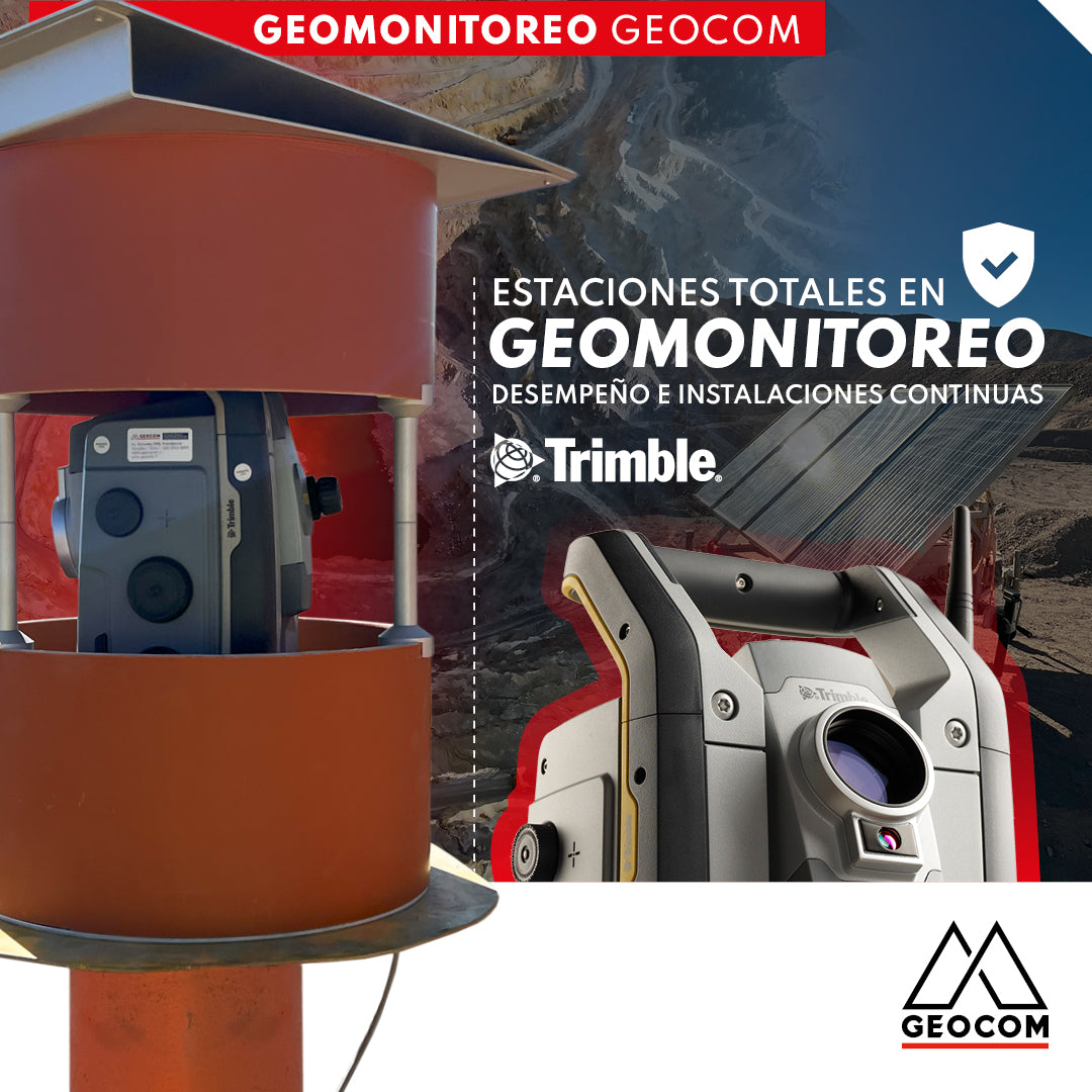
Total Stations in Geomonitoring: Performance and Continuous Installations
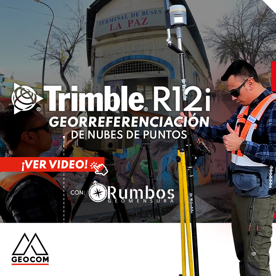
Point Cloud Georeferencing | Trimble R12i
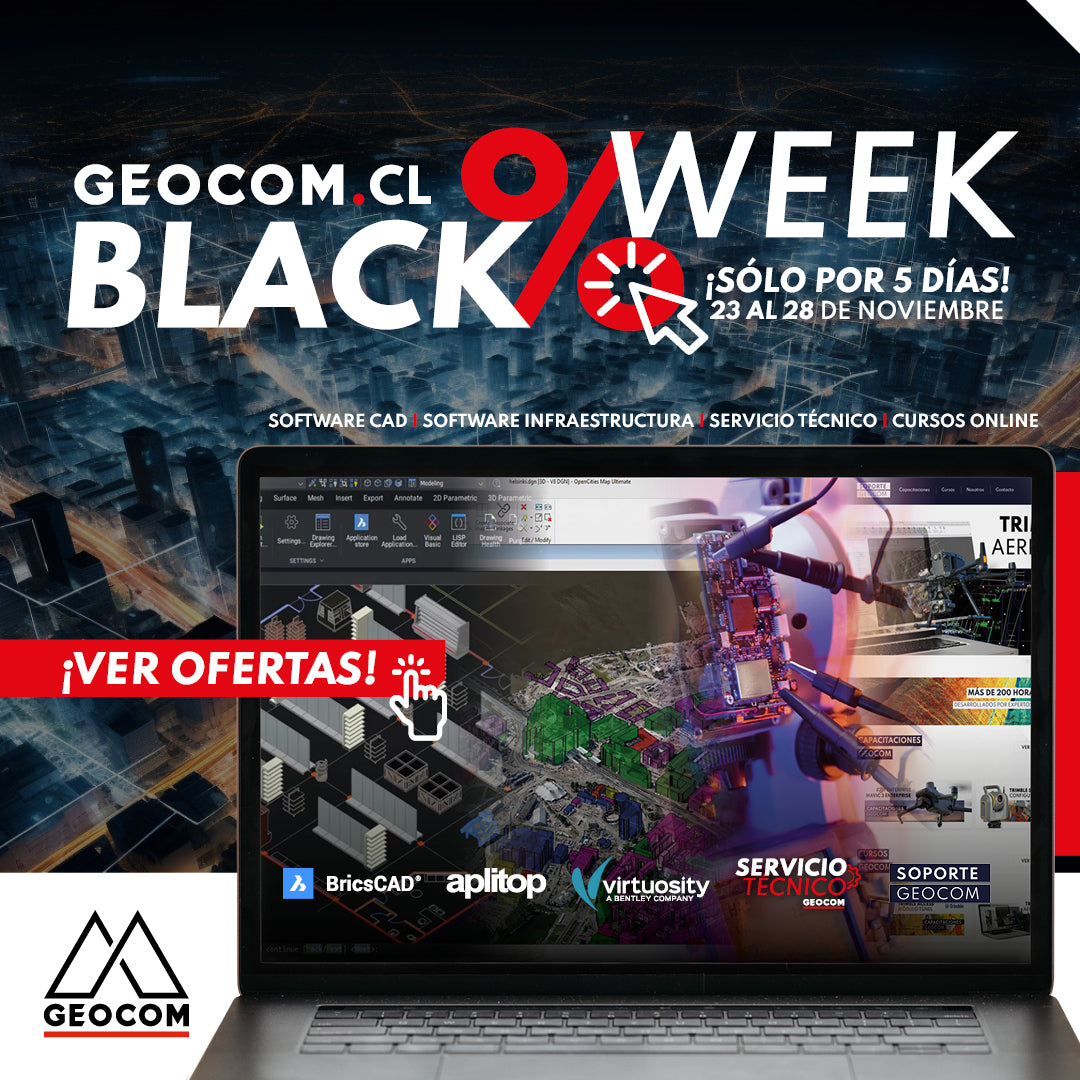
BLACKWEEK GEOCOM | NOVEMBER 23-28
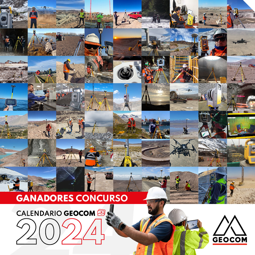
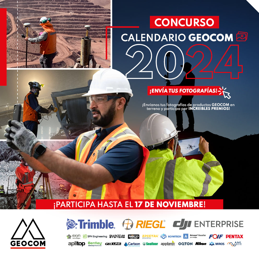
WINNERS | GEOCOM 2024 CALENDAR CONTEST
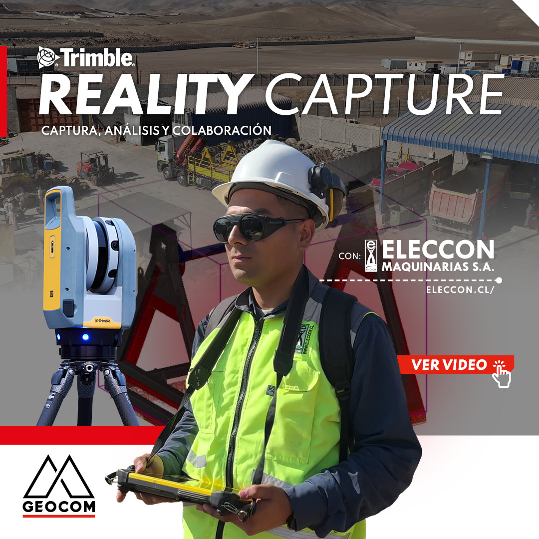
Trimble Reality Capture: Capture, Analysis, and Collaboration Vol. 2
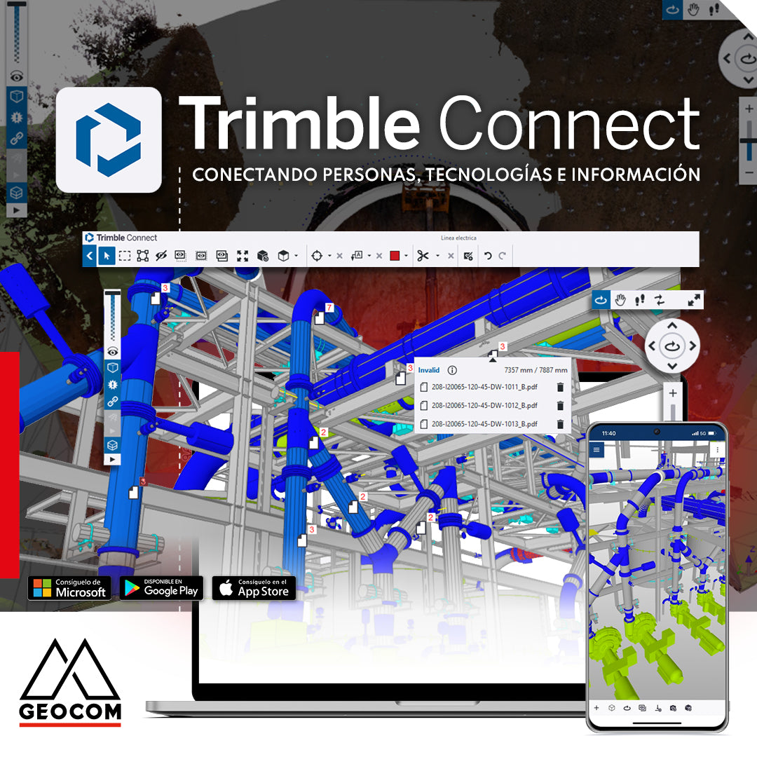
Trimble Connect: Connecting people, technologies, and information
In a world driven by digitalization, effective collaboration and project management are essential. That's why Geocom introduces the Trimble Connect common data environment, the solution that connects people, technologies, and information.
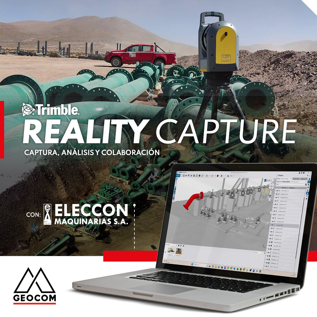
Trimble Reality Capture | Capture, analyze and collaborate

Trimble S7 | Advanced Robotic Solution
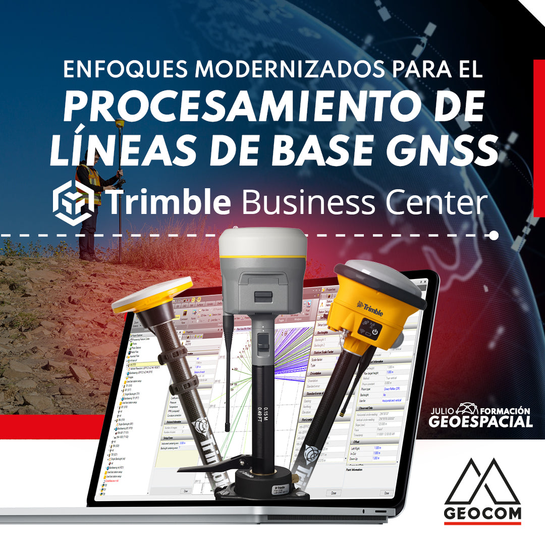
Modernized Approaches for GNSS Baseline Processing in Trimble Business Center
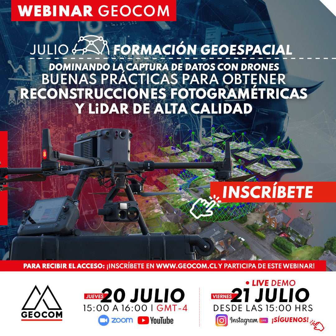
Webinar | Best practices for high-quality photogrammetric and LiDAR reconstructions
THURSDAY 20/07 - 3:00 PM | Zoom & YouTube Live
Tips for proper photogrammetric and LiDAR data capture, taking into account internal factors of the sensor used, strategies, and flight factors.
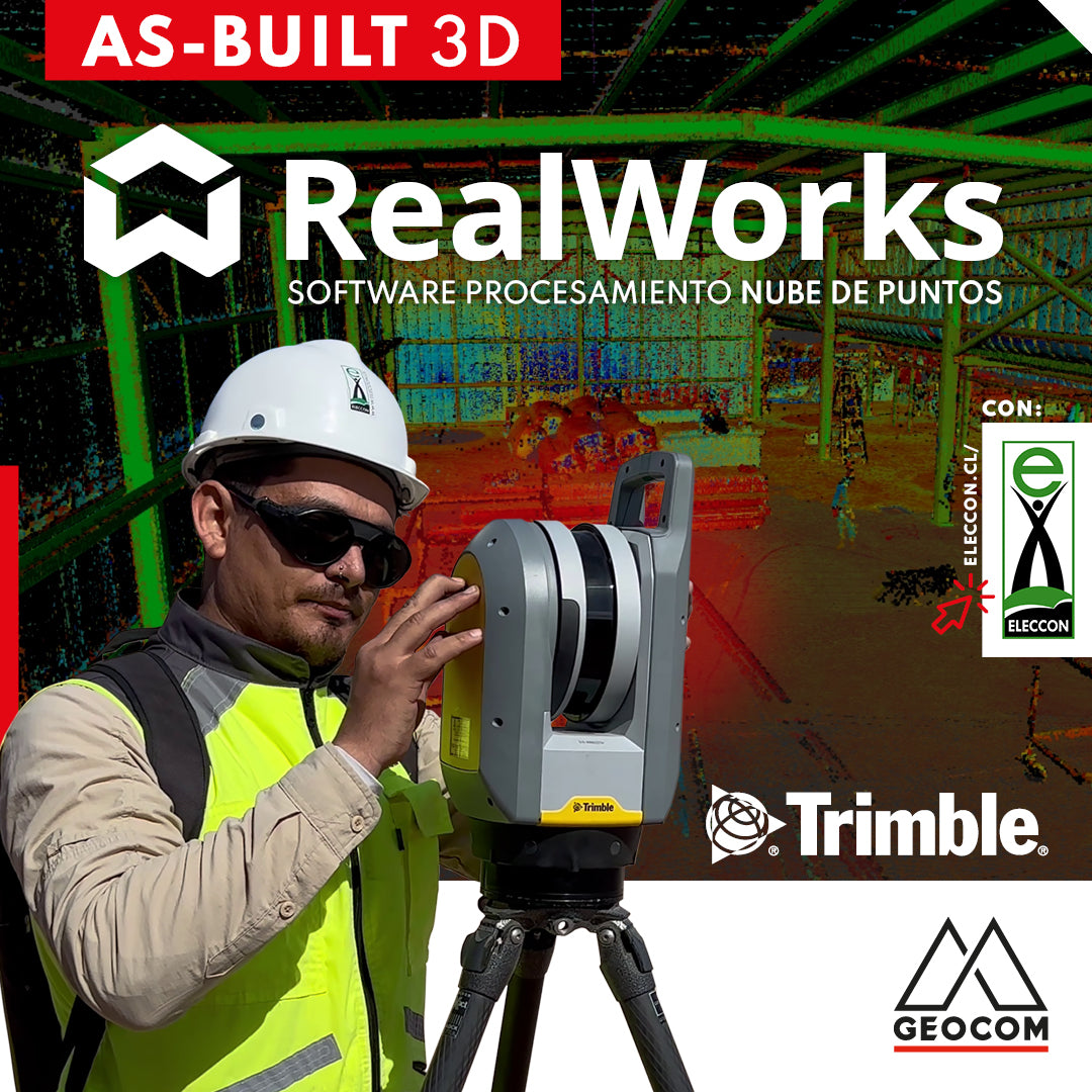
Trimble RealWorks | As-Built 3D
On this occasion, our friends from Eleccon Maquinarias show us the process they follow to digitize an existing structure using Trimble X7 laser scans and subsequently create a 3D model with Trimble Realworks software.