

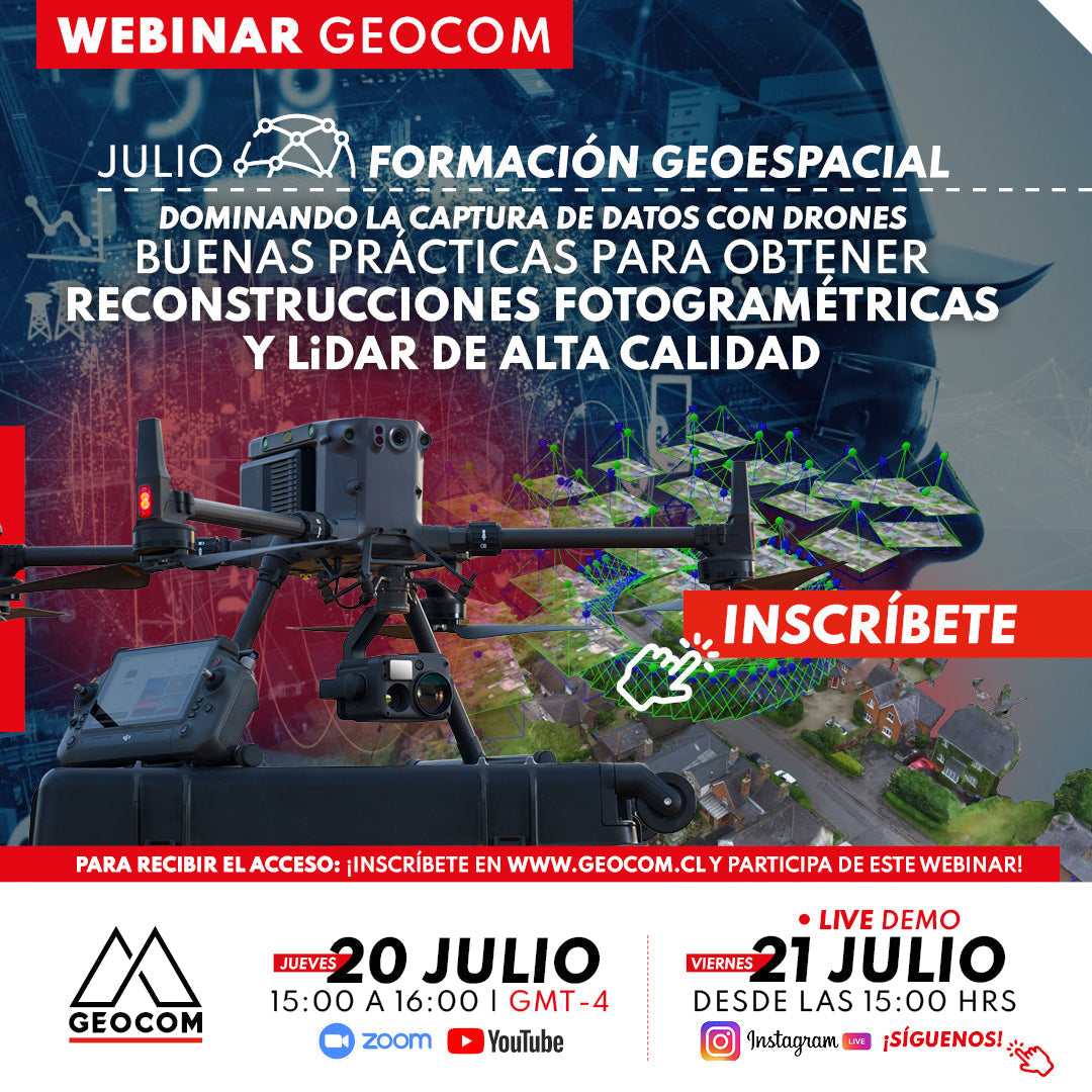

JULY GEOSPATIAL TRAINING WEBINAR | Best practices for obtaining high-quality photogrammetric and LiDAR reconstructions
Drone data capture has become a fundamental tool in the geospatial industry, thanks to its ability to obtain precise and detailed terrain information using different types of sensors. With the widespread use of these systems, operators often have questions regarding the correct use in data capture and processing.
In this webinar, developed by GEOCOM's UAS & Drones area, a series of tips will be presented for proper photogrammetric and LiDAR data capture, considering internal factors of the sensor used, as well as flight strategies and factors. Finally, we will address another determining factor in obtaining quality products, which is data processing, where processes and critical points for both techniques will be described.

 THURSDAY JULY 20 | 15:00 TO 16:00 HRS (GMT-4) | VIA ZOOM & YOUTUBE LIVE
FRIDAY JULY 21 | 15:00 HRS | VIA INSTAGRAM LIVE FOLLOW US!
AGENDA
| ⨭ Photogrammetry with drones |
| ⨭ Camera components |
| ⨭ In-flight factors |
| ⨭ Importance of capture strategies |
| ⨭ Photogrammetric data processing |
| ⨭ LiDAR with drones |
| ⨭ LiDAR data capture |
INSTRUCTORS

Luis Casanova | UAS Support Engineer Geocom
Geomatics Engineer from the University of Santiago de Chile. In 2021, he joined GEOCOM in the UAS & Drones support area, where he works as a Support Engineer. His main function is to provide advice and support in the planning, execution, and processing of photogrammetric, LiDAR, thermal, multispectral, and other drone-related sensor flights. He is a professional passionate about the knowledge and implementation of new techniques in geomatics, mainly associated with drones.

Sebastián Piña | UAS Support Engineer Geocom
Geomatics Engineer from the University of Santiago de Chile, he has knowledge in the use of Unmanned Aerial Systems for data capture for inspection, photogrammetry, LiDAR, and multispectral with their respective processing for multiple geospatial industries. Since 2021, he has worked as a UAS Support Engineer, providing support and training for rotary-wing drones equipped with photogrammetric, LiDAR, thermal, multispectral, bathymetric sensors, among others, detailing flight planning, execution, and processing of the data obtained.

Compartir:
Trimble RealWorks | As-Built 3D
Modernized Approaches for GNSS Baseline Processing in Trimble Business Center