

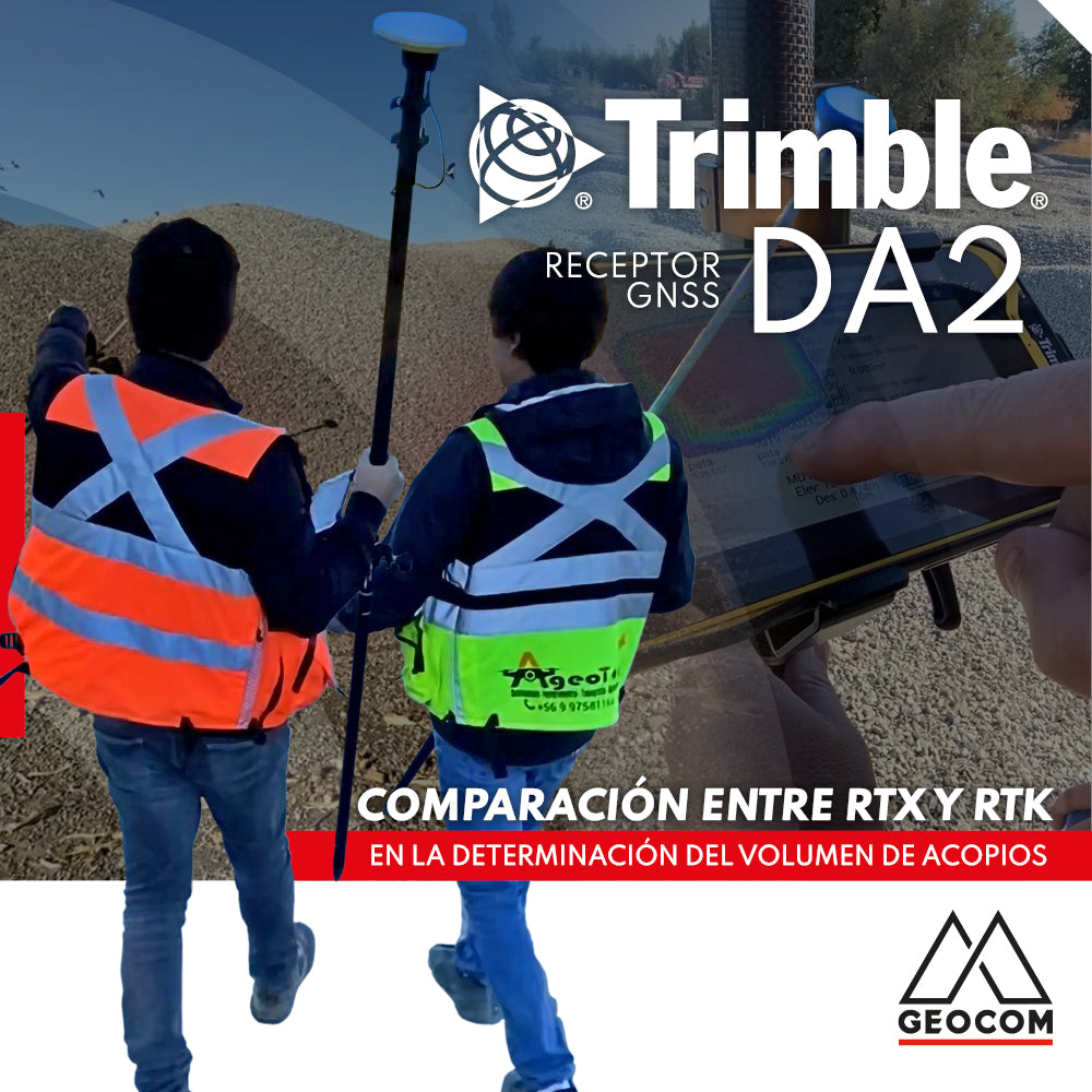
Comparison between RTX and RTK in determining stockpile volume

Trimble Virtual World is an efficient solution that offers comprehensive tools for training in geospatial technologies, thanks to its training tools and simulation quality
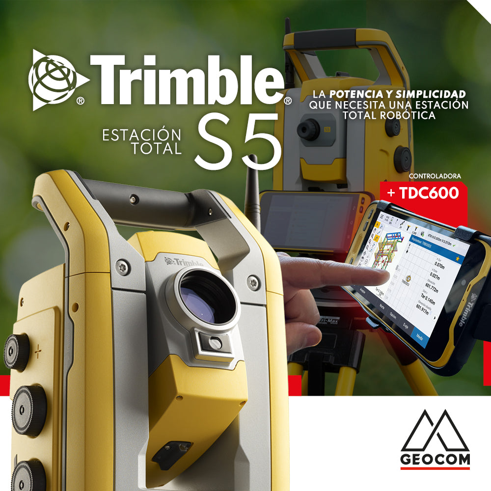
The Trimble S5 can be operated from a wide range of controllers. Among them, a good alternative is the TDC600, which can be used in different modes and is compatible with Trimble's entire S-series of total stations as well as its GNSS portfolio, or both simultaneously.
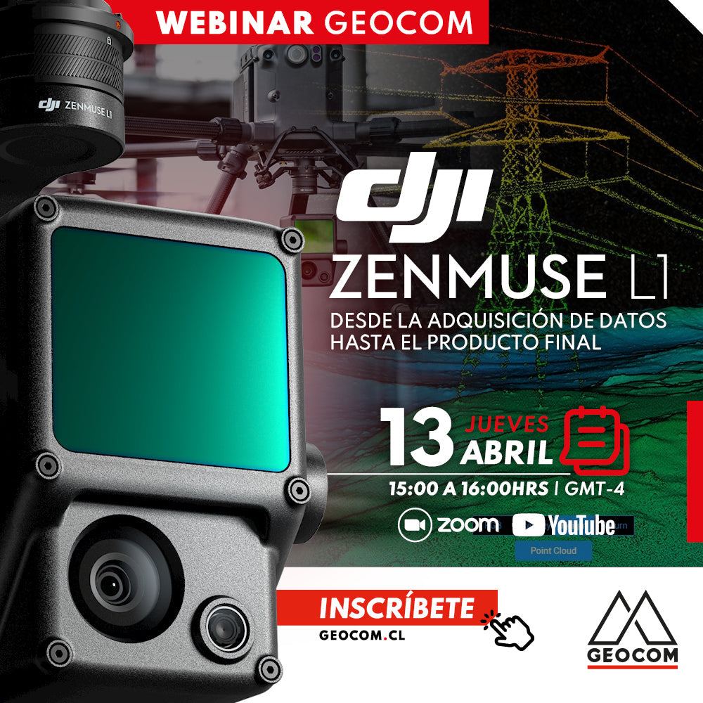
Webinar | DJI Zenmuse L1: From Data Acquisition to Final Product
Now Available! | Geocom.cl & YouTube
We will explore the solution offered by the DJI Zenmuse L1 and how the incorporation of this airborne technology facilitates data acquisition and the obtaining of results in multiple applications and daily tasks of the mining process.
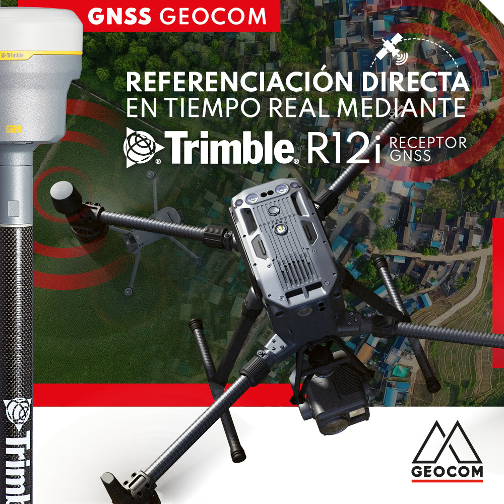
Real-time direct referencing with Trimble R12i

RTX: Over a decade of precise point positioning

Case 5 Trimble R12i | Drone integration
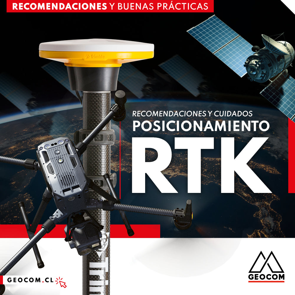
RTK Positioning: Recommendations and Care
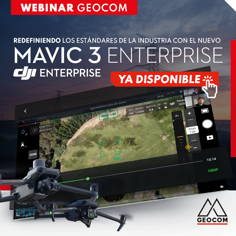
WEBINAR | Redefining Industry Standards with the new Mavic 3 Enterprise
NOW AVAILABLE! | Geocom.cl & YouTube
The main features of the M3E, detailing its workflow, applications, and showing its main strengths compared to the old Phantom 4 RTK.
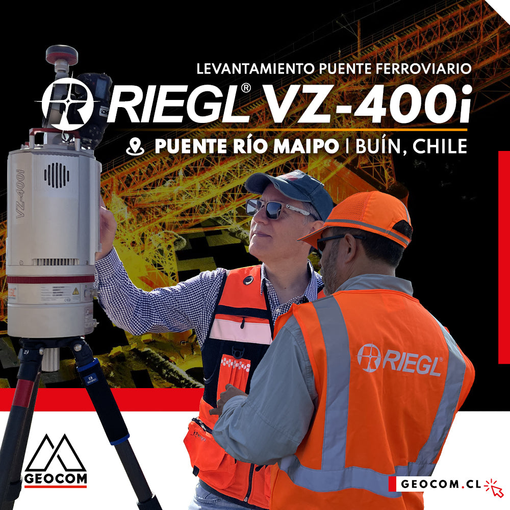
LiDAR RIEGL | Railway Bridge Survey
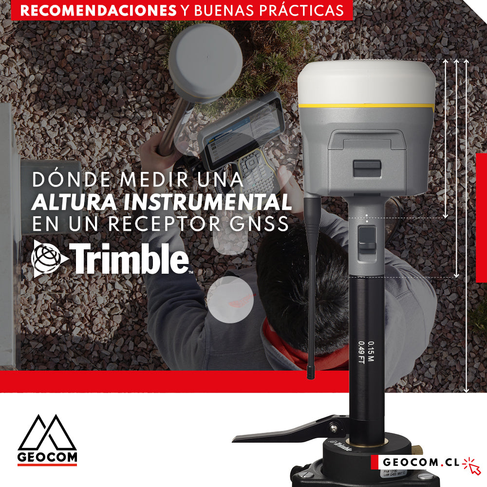
Where to measure an instrumental height on a Trimble GNSS receiver?
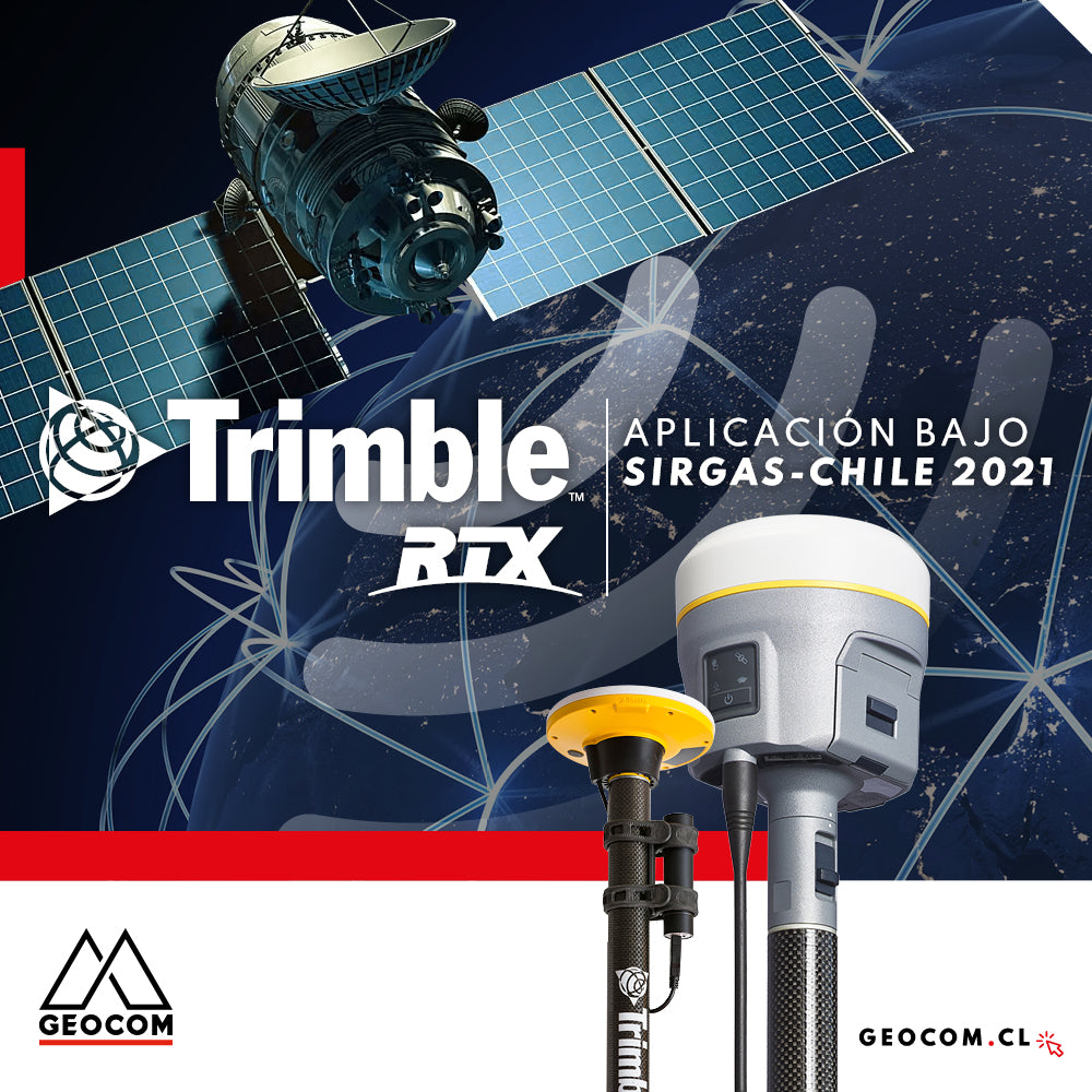
Trimble RTX application under SIRGAS-Chile 2021

Promotion | Start the year by scheduling your annual maintenance in advance
20% OFF.* Annual maintenance in advance
40% OFF.* First maintenance for Trimble total stations
GNSS positioning and the problem of projection in the use of total stations