

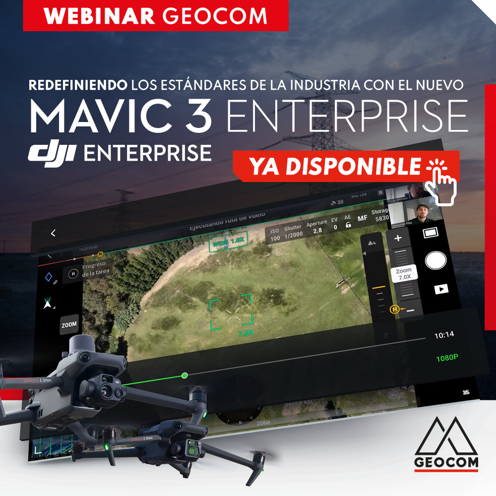

The new Mavic 3 Enterprise drone developed by DJI offers powerful features for both photogrammetry and inspection, thanks to its dual sensor. In addition, its optimized telemetry allows us to work seamlessly with RTK (real-time kinematic) and PPK (post-process kinematic) direct referencing.
Learn about all the new features in this Webinar developed by GEOCOM's UAS area, where we will present the main characteristics of the M3E, detailing its workflow, applications, and showing its main strengths compared to the old Phantom 4 RTK.

 THURSDAY, FEBRUARY 23 | 11:00 AM TO 12:00 PM - CHILE | VIA ZOOM & YOUTUBE LIVE
AGENDA
| ⨭ Presentation |
| ⨭ Introduction to the UAS portfolio |
|
⨭ New features of the new Mavic 3 Enterprise drone
|
| ⨭ Strengths of M3E over P4RTK |
|
⨭ Direct RTK and PPK referencing in M3E
|
| ⨭ Comparative flights between M3E vs P4RTK (RTK and PPK) |
| ⨭ Applications |
INSTRUCTORS

Oscar Moreno | UAS & Drone Solutions Specialist
Geomatics Engineer and Master in Remote Sensing (MSc) with extensive experience as a certified pilot instructor for fixed-wing and rotary-wing drones. In the academic field, he has participated as a lecturer and speaker in various higher education institutions.

Sebastián Piña | UAS & Drone Solutions Specialist
A graduate in Geomatics Engineering from the University of Santiago de Chile (USACH), he has knowledge in the use of Unmanned Aerial Systems for photogrammetric and LiDAR data capture with their respective processing for multiple geospatial industries. Since 2021, he has served as a UAS Support Assistant, providing training for rotary-wing drones mounted with photogrammetric and LiDAR sensors, detailing flight planning, execution, and processing of the obtained data.

Compartir:
LiDAR RIEGL | Railway Bridge Survey
RTK Positioning: Recommendations and Care