

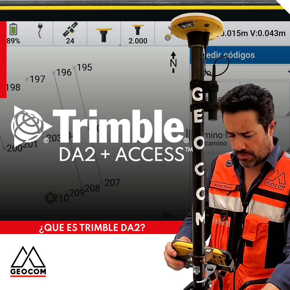
Trimble DA2 can be integrated with a variety of field software, including Trimble Access, which offers a series of advanced functionalities for surveying.
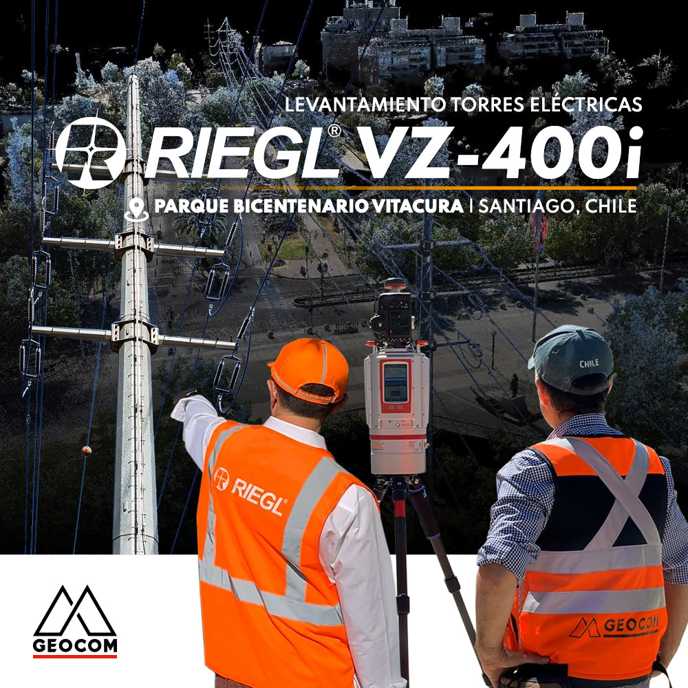
RIEGL LiDAR | Urban Infrastructure – Electrical Transmission Towers
Electrical transmission systems, visible as high-voltage lines manifested by overhead conductors on towers, leave their mark on the territory, materially shaping public spaces.
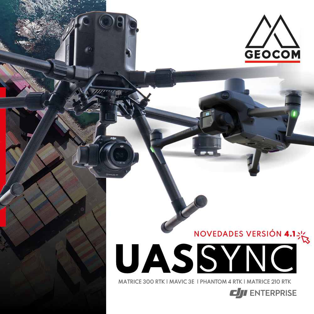
News new version 4.1 UAS Sync Geocom
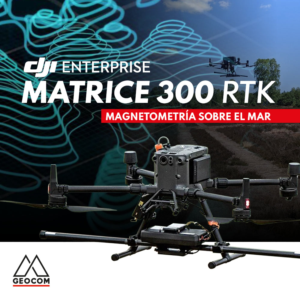
DJI MATRICE 300 RTK | SEA MAGNETOMETRY

WINNERS OF THE GEOCOM 2023 CALENDAR CONTEST

Case 4 Trimble R12i | Earthwork Cut Sheets
This activity involves some risks associated with falls at the same or different levels, which can be avoided by using R12i's tilt measurement functionality.
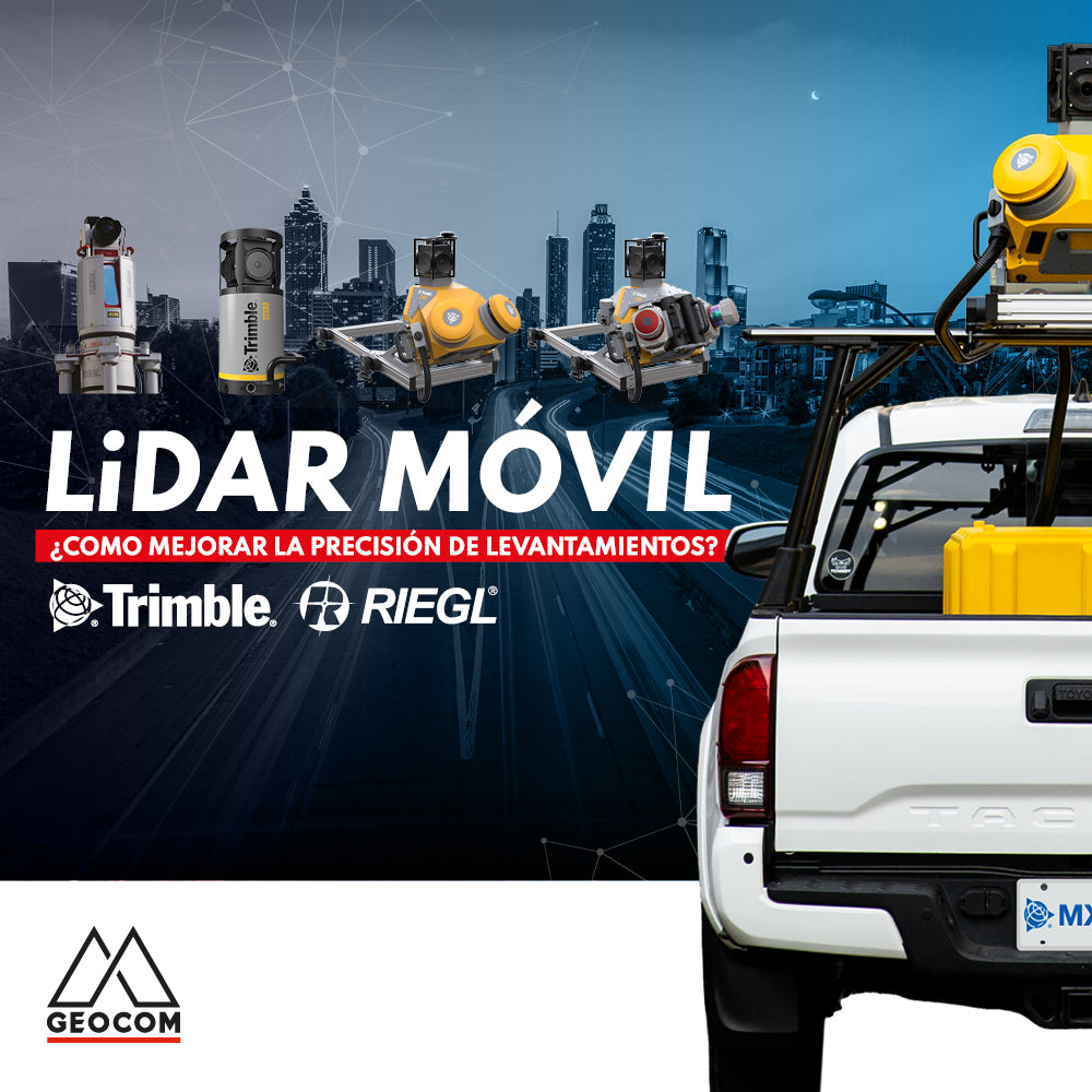
How to improve the accuracy of mobile LiDAR surveys?
In this article, we will explore mobile LiDAR surveys using ground control points, which will improve the overall accuracy of the captured data.

Participate until November 14th
Send us your photos of our products in the field and enter to win amazing prizes!

Trimble X7 | Construction geometric control
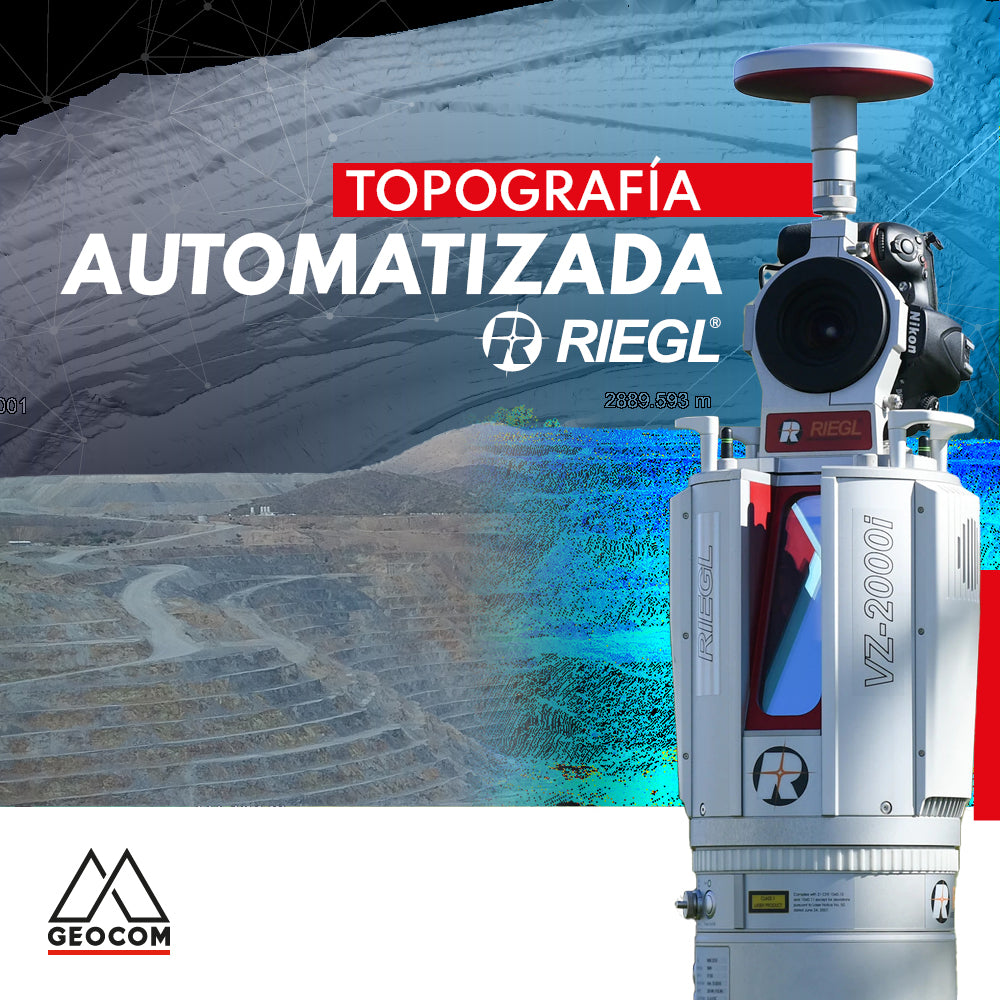
Automated Topography | RIEGL LiDAR
The importance of acquiring data remotely is a requirement established in mining projects, where knowing the topography at different periods or daily is a starting point for a series of analyses, projections, planning, and controls in the mining district.
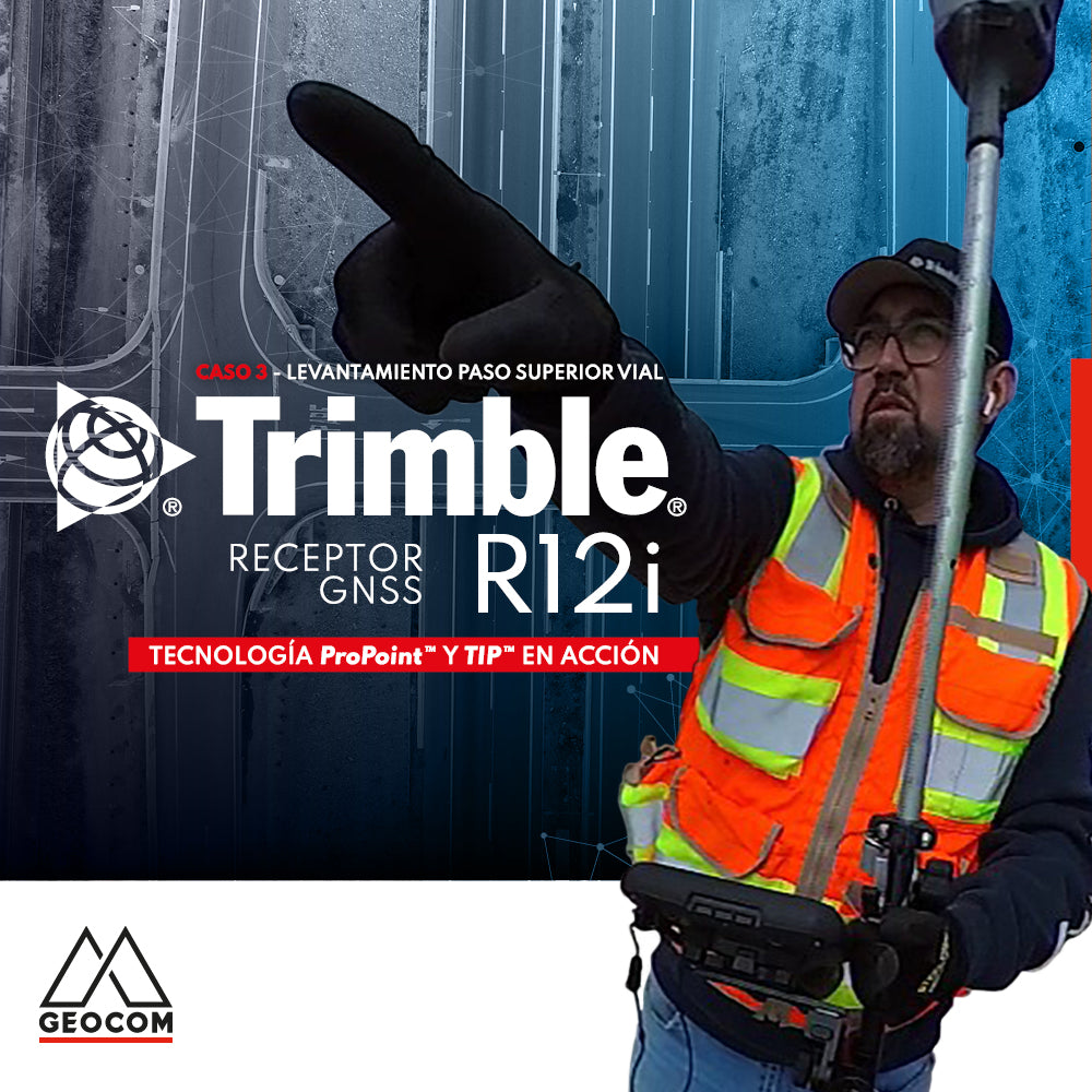
Case 3 Trimble R12i | Overpass Survey
Slant measurement GNSS has introduced the possibility of carrying out topographic surveys very productively. However, it does not seem that all users of this technology trust this feature, therefore, it is important to delve into the accuracies that Trimble R12i achieves using this technique.

The drone revolution in inspection tasks
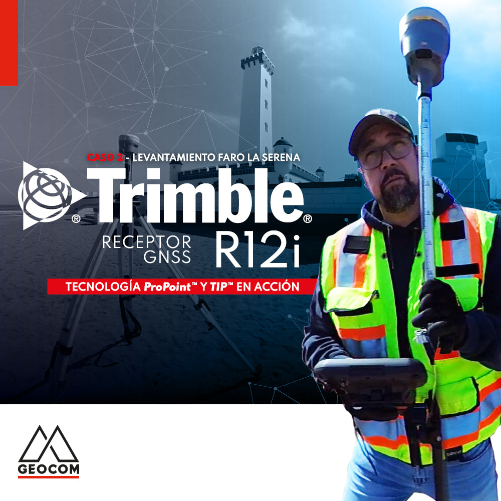
Case 2 Trimble R12i | La Serena Lighthouse Survey

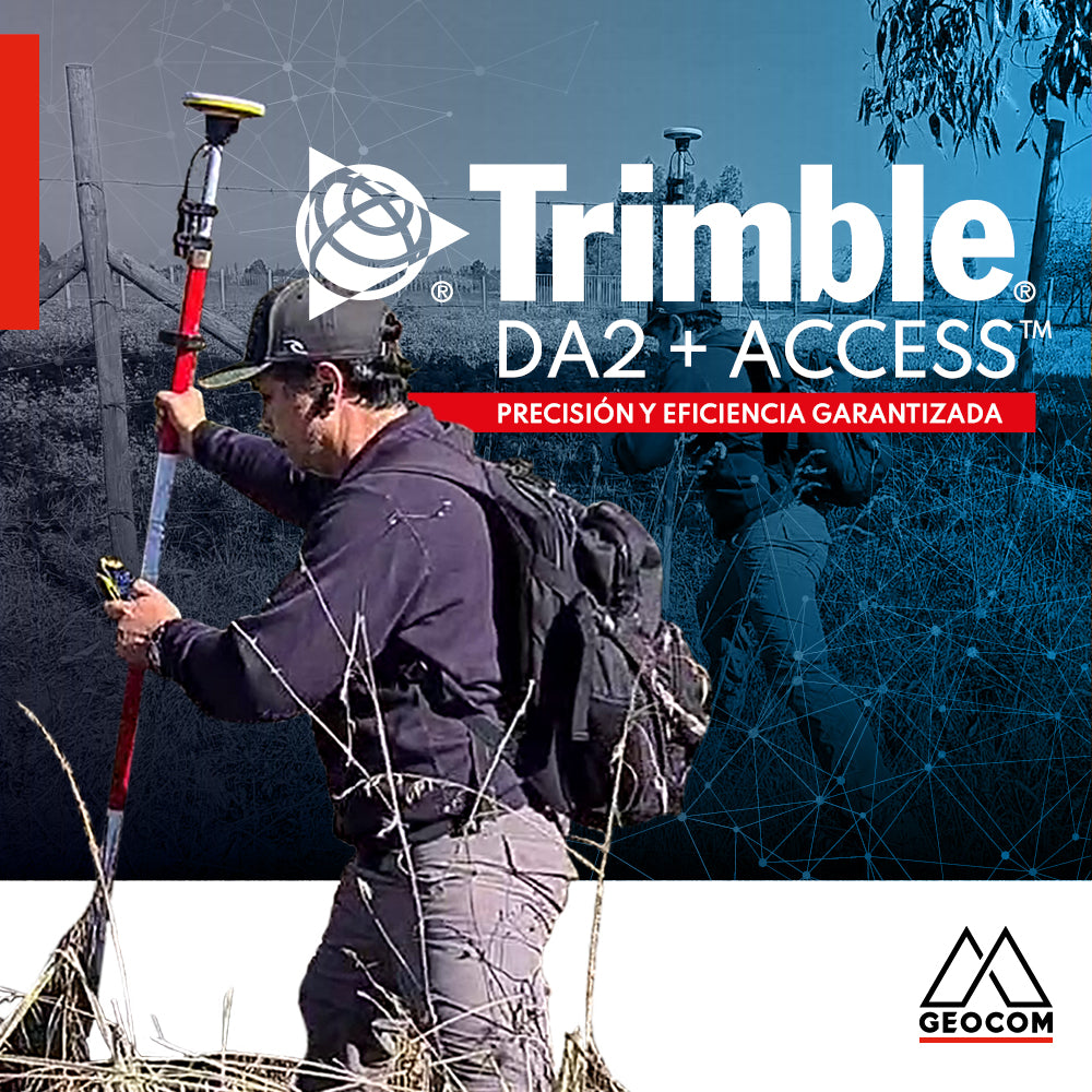
Trimble DA2 + Access™ Guaranteed Precision and Efficiency