

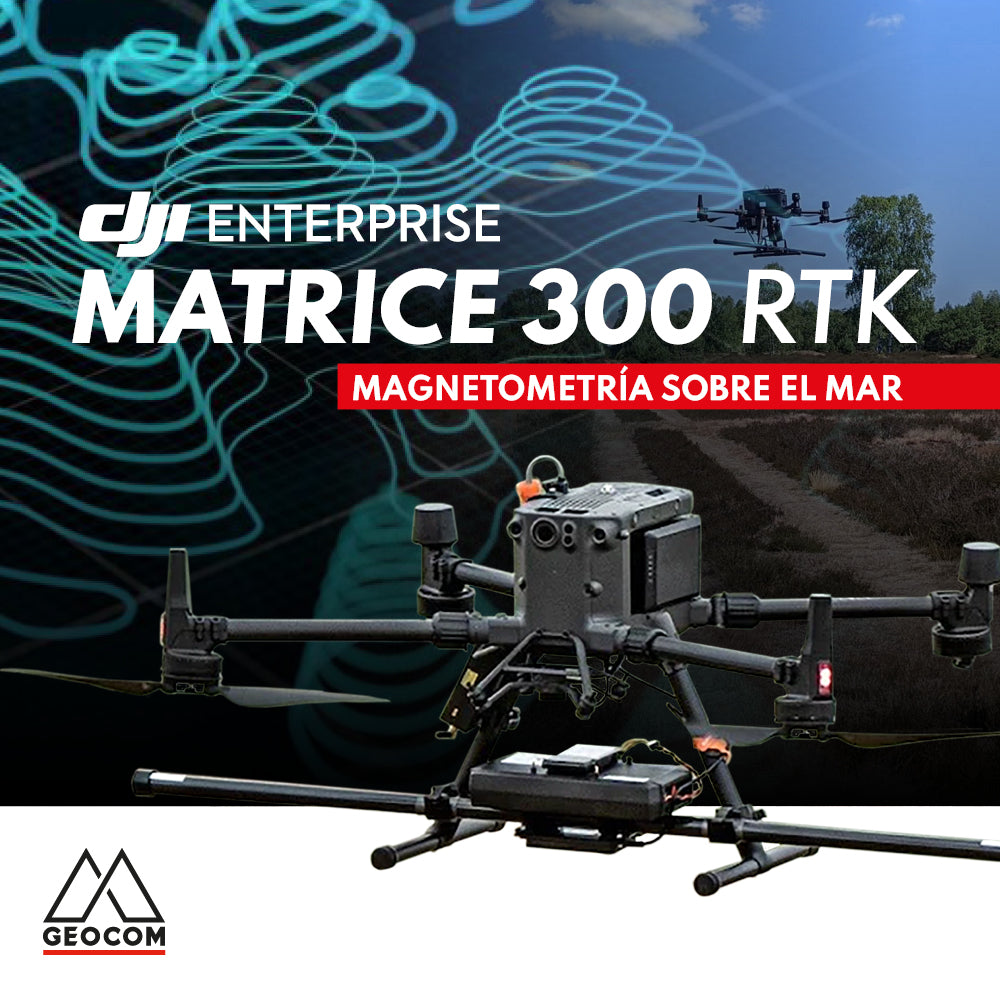

The DJI Matrice 300 RTK drone is a powerful multi-rotor designed to operate in harsh environments and adverse weather conditions, achieving great performance in terms of flight autonomy, operational safety, and telemetry stability. Additionally, it can swap out different types of sensors and support payloads of up to 2.7 kg.
The sensors most commonly used with the Matrice 300 RTK are cameras for photogrammetry, LiDAR sensors, and multispectral and thermal cameras, but also less common ones such as gas detection sensors, loudspeakers, lighting spotlights, and even a magnetometer.
In this context, GEOCOM used a magnetometer mounted on a Matrice 300 RTK to conduct a marine survey, specifically in the Chacao Channel, Los Lagos Region. The objective of the work was to detect magnetic anomalies to evaluate the presence of metals on the seabed, resulting from shipwrecks in the 19th century, as part of a marine archaeology project.
Thanks to the good performance of the Matrice 300 RTK, along with the use of the D-RTK 2 base station, the objective of the work was successfully achieved. 20 flights were carried out in 2 days of work to cover a wide area located 4 km from the coast, where the drone's operating point was located. The flights were performed 5 meters above the sea surface, with high humidity, salinity, and strong winds.
If you want more information about this or other UAS equipment, write to us at uas@geocom.cl or visit https://www.geocom.cl/pages/dji-enterprise
Compartir:
WINNERS OF THE GEOCOM 2023 CALENDAR CONTEST
News new version 4.1 UAS Sync Geocom