

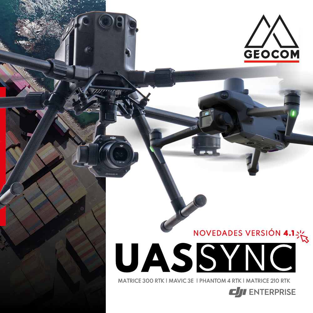

Discover the new features of the new version 4.1 of UAS Sync software
GEOCOM UAS Sync is the synchronization software used to obtain the precise position of each photograph captured with our DJI drones. The application associates the PPK flight path (obtained in Trimble Business Center) together with the MRK time file of each event captured by the drone.
In this new version of GEOCOM UAS Sync, the interpolation/synchronization algorithms were improved, and new functions were added that allow for more optimized and reliable operation to obtain more accurate results.
IN GEOCOM UAS SYNC V4.1, THE NEW DJI MAVIC 3 ENTERPRISE DRONE HAS BEEN INCORPORATED!
Compartir:
DJI MATRICE 300 RTK | SEA MAGNETOMETRY
RIEGL LiDAR | Urban Infrastructure – Electrical Transmission Towers