

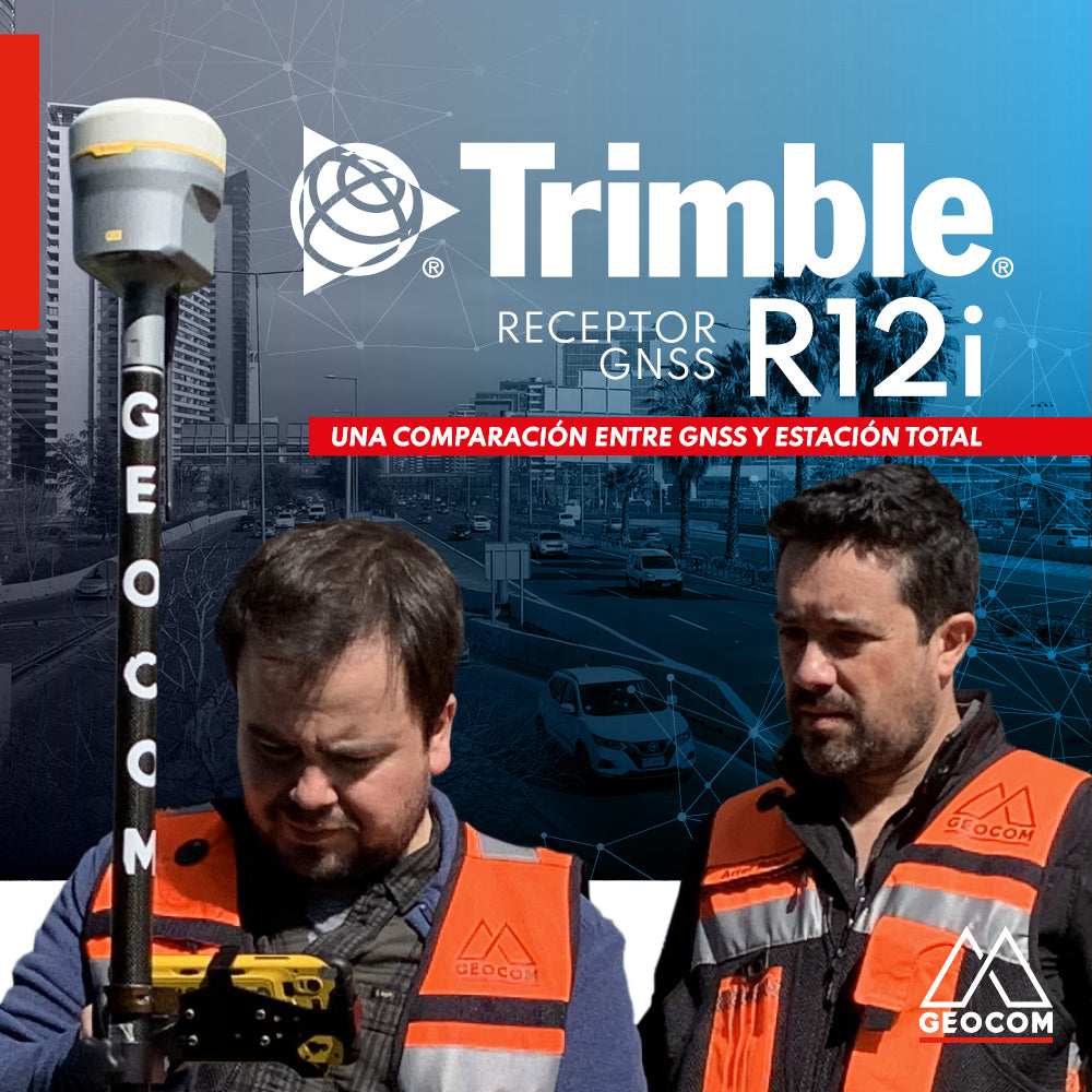
A comparison between GNSS and Total Station
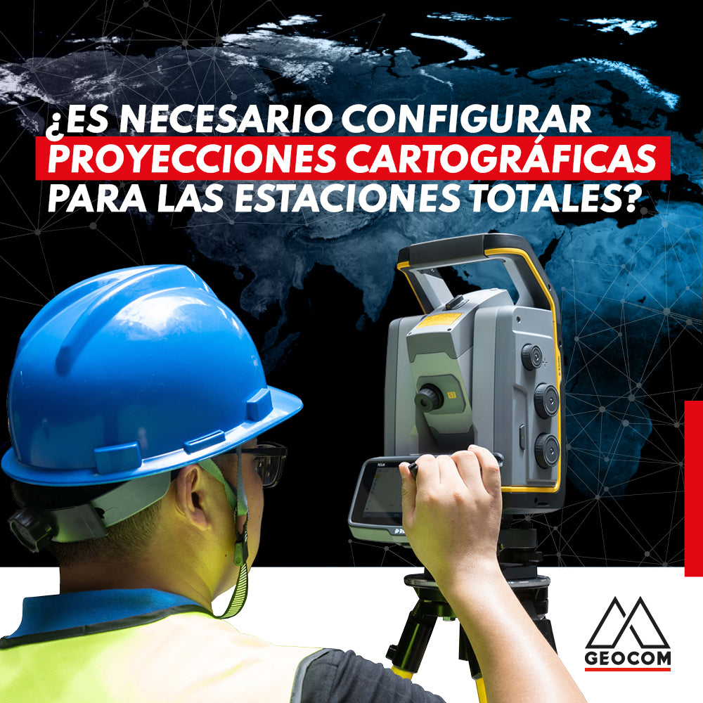
Is it necessary to configure map projections for total stations?
It is strictly necessary to configure a map projection when working with a total station, and even more so when combined with determinations made with GNSS. This applies to any map projection, even those that minimize the effect of the combined scale factor on projected distances.
RIEGL LiDAR | San Rafael Station Railway Infrastructure
We invite you to review this project in more detail and see how accessible it is to use this RIEGL LiDAR capture technique, along with well-established workflows from point cloud capture to the generation of various deliverables.
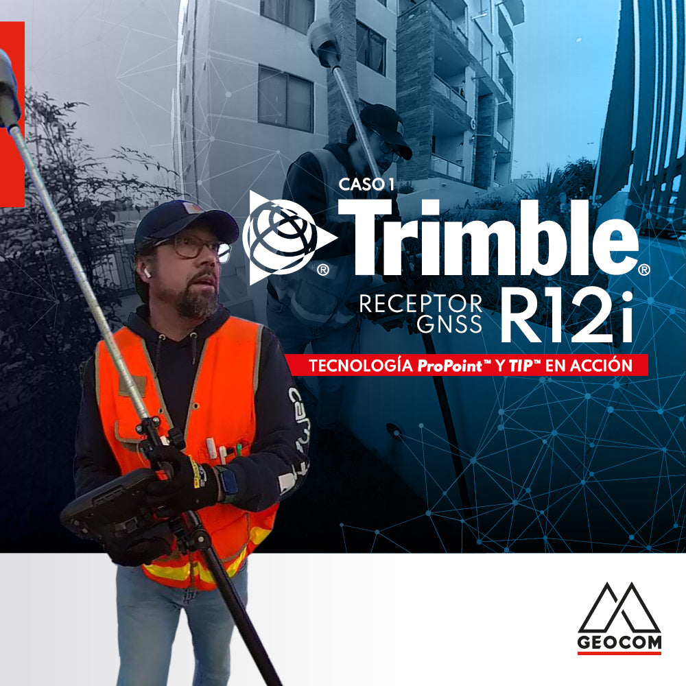
Trimble R12i Experience | Case 1
Our colleague Frank Núñez demonstrates a Trimble R12i GNSS system in a very common operation, showing the gain in productivity without sacrificing precision, based on two fundamental elements of Trimble technology: ProPoint and TIP.
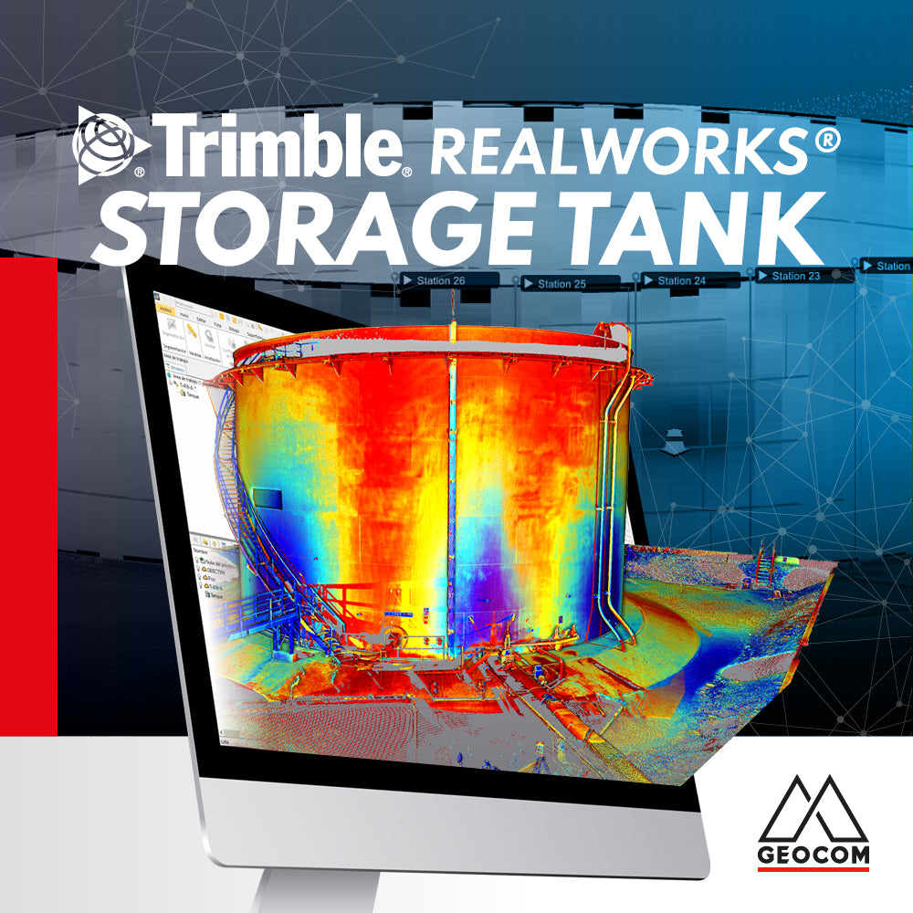
Trimble RealWorks Storage Tank
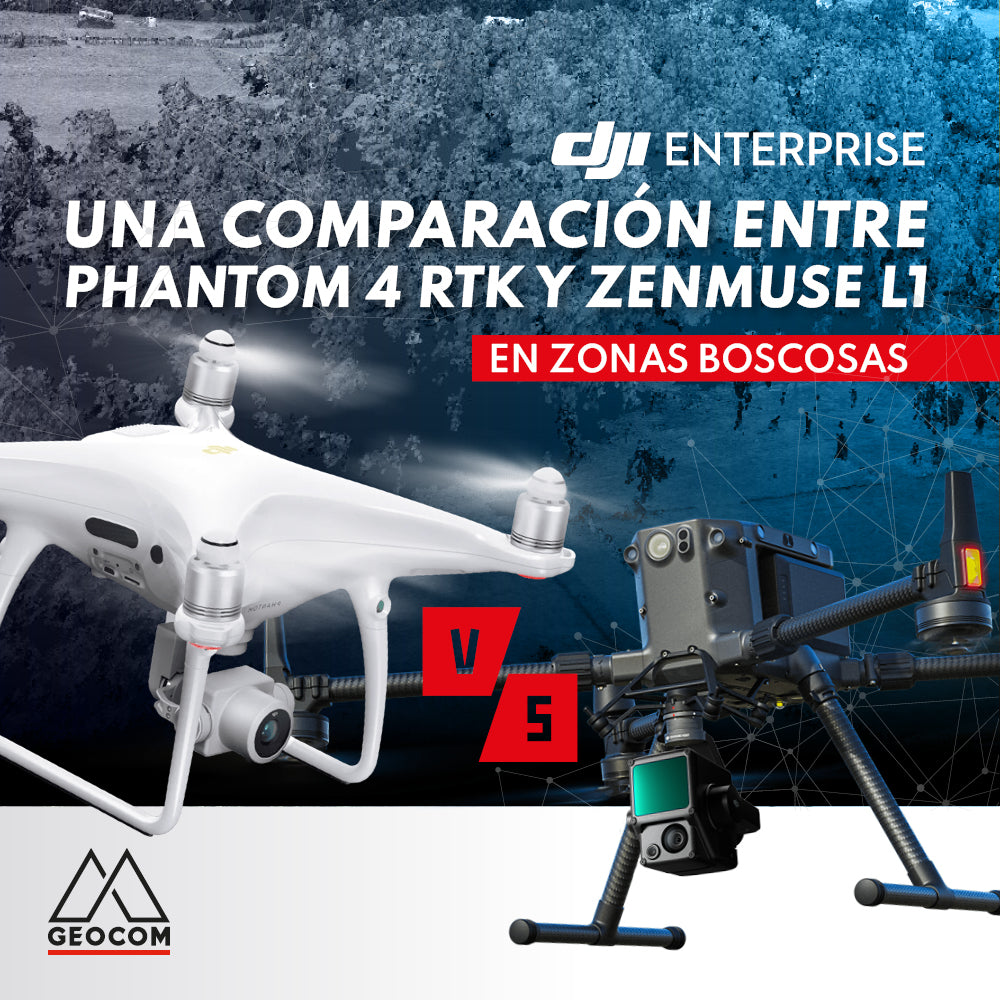
A comparison between Phantom 4 RTK and Zenmuse L1 in wooded areas
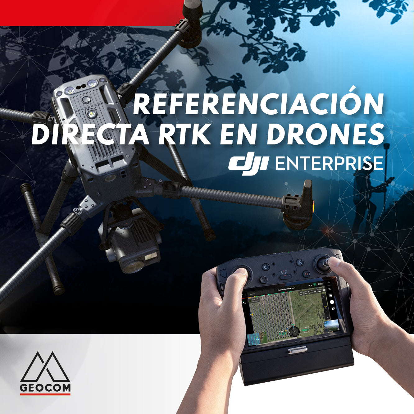
RTK DIRECT GEOTAGGING IN DRONES
A turning point occurred in 2015 with the arrival of the first drones with direct PPK georeferencing, which, through post-processing, allowed for obtaining precise coordinates of photographs without the need for ground control points and without sacrificing accuracy.
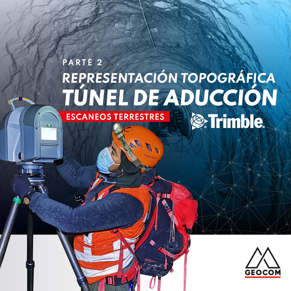
Topographic Representation of the Adduction Tunnel | Part 2
In this second part of the experience with Rumbos Geomensura, we will show the laser scanning process carried out in the field, as well as the handling of the point cloud to go from isolated scan positions to a registered and correctly georeferenced point cloud to obtain final products that represent the existing geometry.
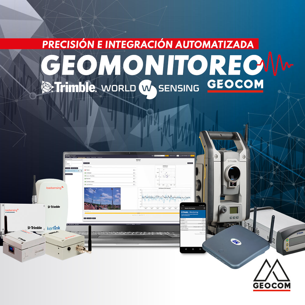
Geomonitoring, precision, and automated integration
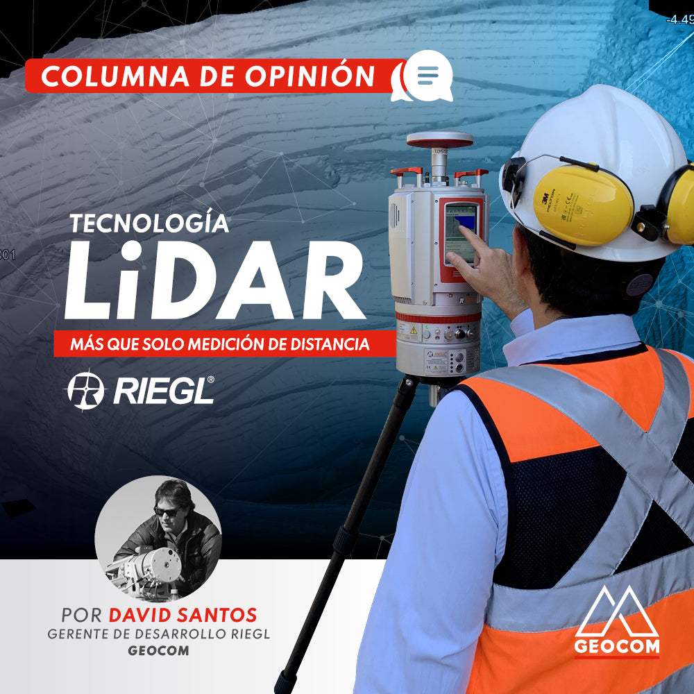
OPINION COLUMN | LiDAR Technology: More Than Just Distance Measurement
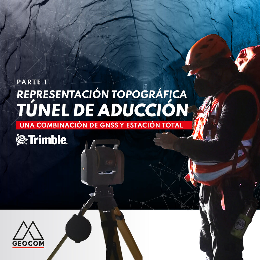
Topographic representation of the adduction tunnel | Part 1
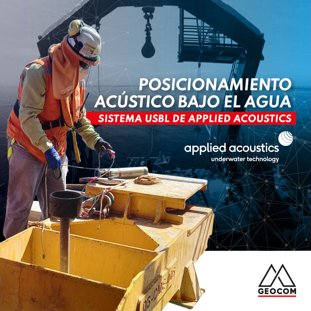
USBL System | Underwater acoustic positioning
USBL systems, which stands for Ultra Short Baseline, are, in simple terms, an underwater acoustic positioning system.
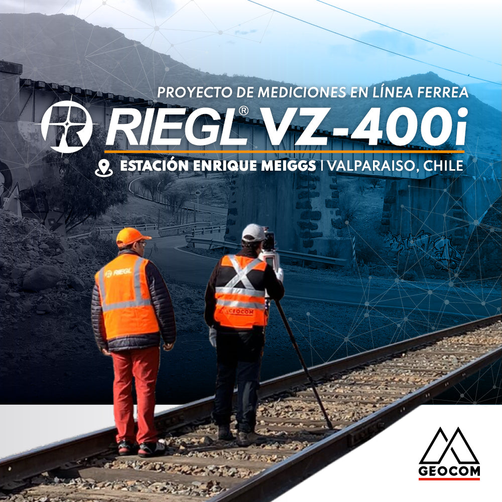
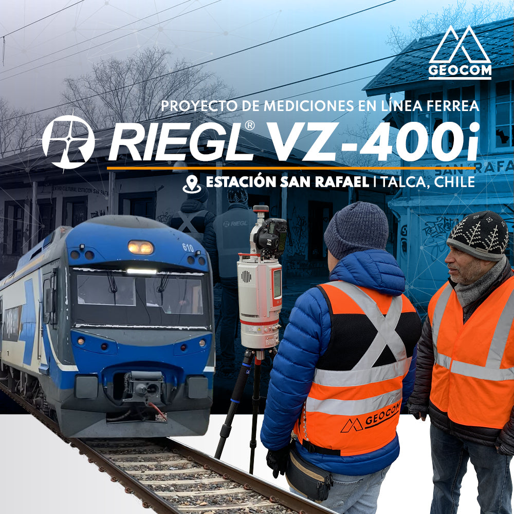
RIEGL VZ-400i | Railway Line Measurement Project
Survey of a railway station, which was part of the Santiago-Valparaíso line of the State Railway Company, using RIEGL VZ-400i equipment.
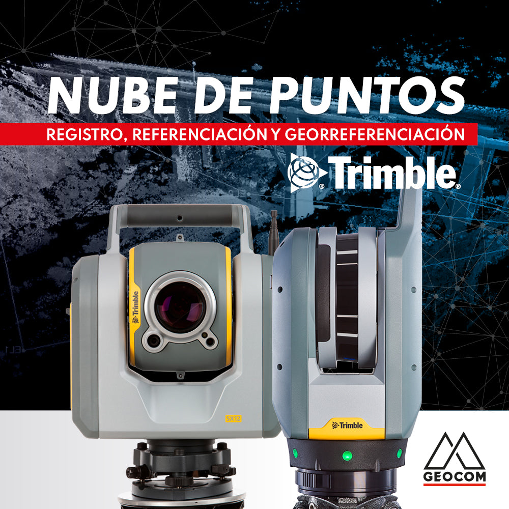
Point cloud: REGISTRATION, REFERENCING, AND GEOREFERENCING
Point clouds represent reality in three dimensions with high representativeness. Depending on the sensor's capabilities and the measurement conditions, the resulting cloud can vary in resolution and accuracy.
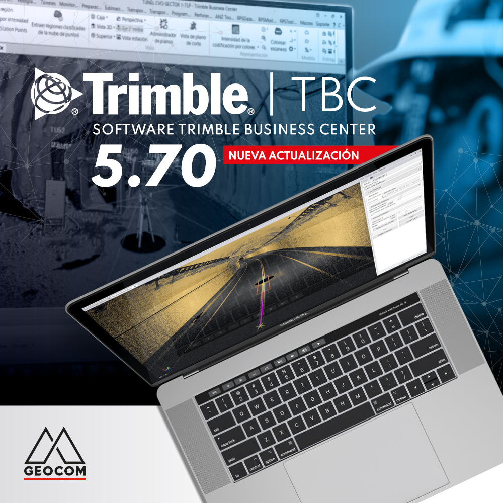
New Trimble Business Center 5.70 update