

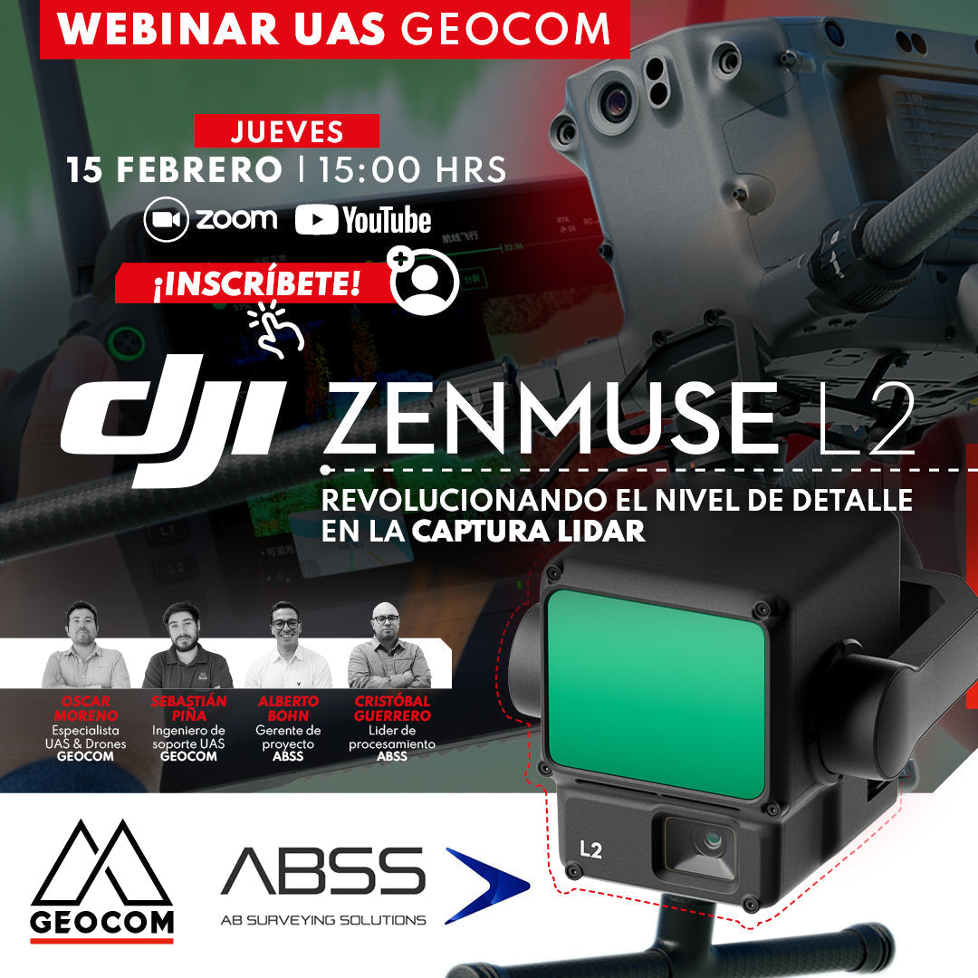

UAS GEOCOM WEBINAR | DJI Zenmuse L2
Revolutionizing the level of detail in LiDAR capture
The new DJI Zenmuse L2 sensor has interesting improvements compared to the LiDAR L1: greater productivity, efficiency, precision, and better penetration power are some of them, which we will discuss in detail in this presentation.
Additionally, we will review its operational workflow, the new features of the DJI Terra post-processing software, and conclude with its main use cases in mining, plus a comparative study versus its predecessor L1.
We invite you to this new GEOCOM Webinar, which will be presented by the UAS area in conjunction with our client ABSS, who has extensive experience using the LiDAR L1 sensor and now also the new Zenmuse L2.

 THURSDAY FEBRUARY 15 | 15:00 TO 16:00HRS (GMT-3) | VIA ZOOM & YOUTUBE LIVE
![]()
AGENDA
| ⨭ Presentation |
| ⨭ Geospatial data acquisition with LiDAR |
| ⨭ DJI Matrice 350 RTK with Zenmuse L2 |
| ⨭ DJI Terra updates |
| ⨭ ABSS client experience - LiDAR use cases in mining - Comparative study L1 vs. L2 |
| ⨭ Final conclusions |
INSTRUCTORS


Compartir:
Trimble Reality Capture: TK Pond Inspection and Validation.
Trimble Reality Capture: Prefabricated Structure Inspection