

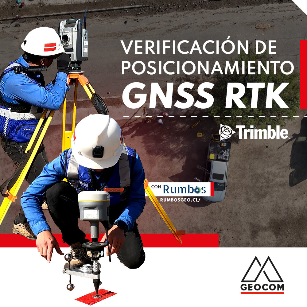
RTK GNSS positioning verification
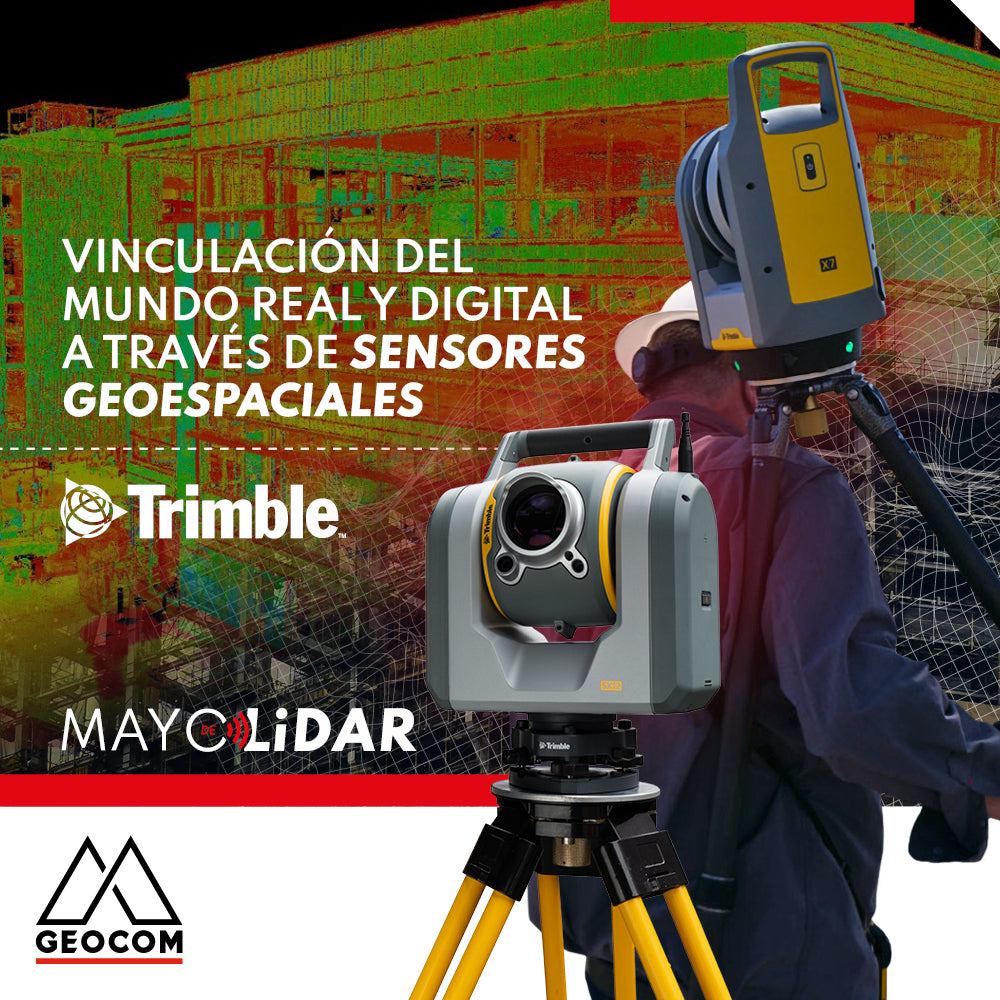
Linking the real and digital worlds through geospatial sensors
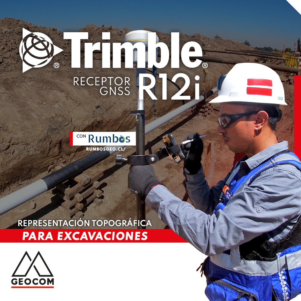
Topographic Representation for Excavations | Trimble R12i

Trimble Virtual World is an efficient solution that offers comprehensive tools for training in geospatial technologies, thanks to its training tools and simulation quality
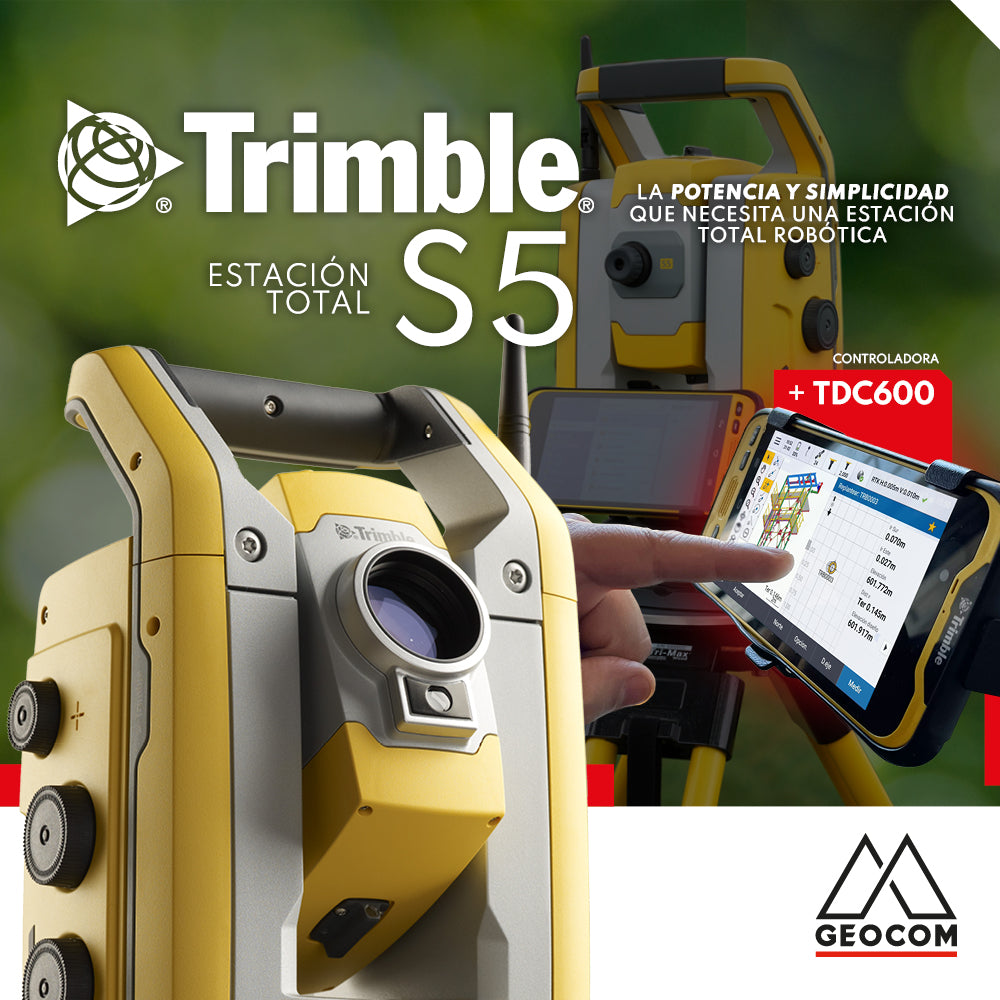
The Trimble S5 can be operated from a wide range of controllers. Among them, a good alternative is the TDC600, which can be used in different modes and is compatible with Trimble's entire S-series of total stations as well as its GNSS portfolio, or both simultaneously.
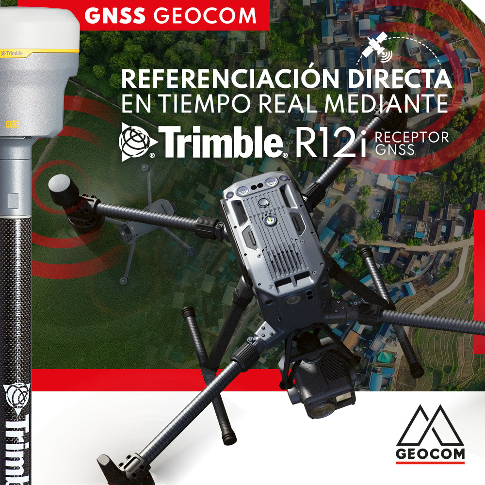
Real-time direct referencing with Trimble R12i

RTX: Over a decade of precise point positioning

Case 5 Trimble R12i | Drone integration
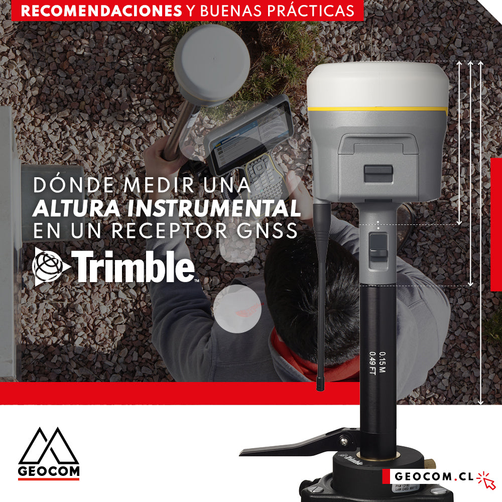
Where to measure an instrumental height on a Trimble GNSS receiver?
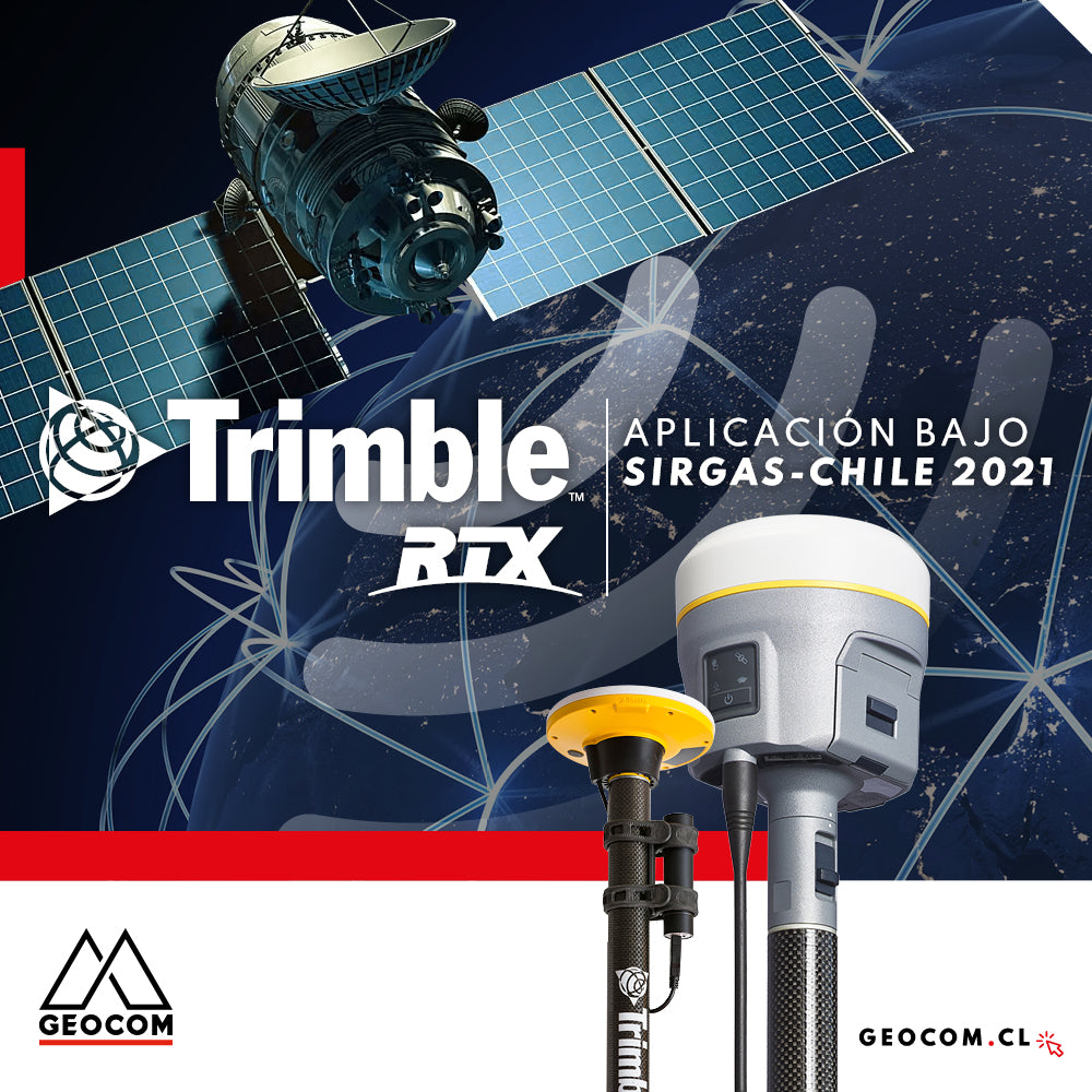
Trimble RTX application under SIRGAS-Chile 2021
GNSS positioning and the problem of projection in the use of total stations
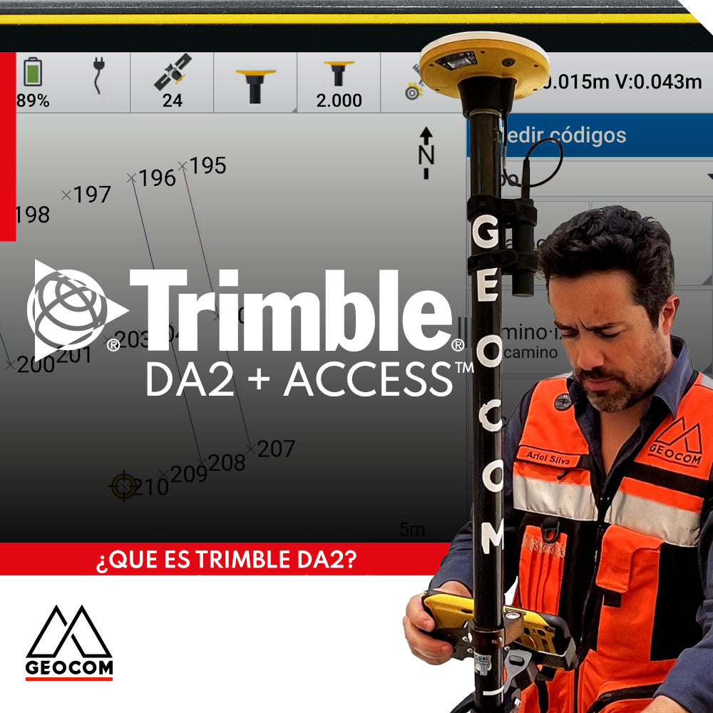
Trimble DA2 can be integrated with a variety of field software, including Trimble Access, which offers a series of advanced functionalities for surveying.

Trimble X7 | Construction geometric control
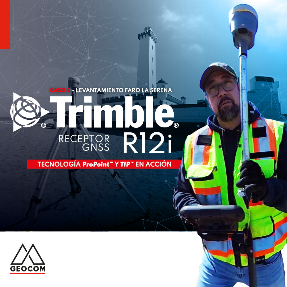
Case 2 Trimble R12i | La Serena Lighthouse Survey

Trimble DA2 + Access™ Guaranteed Precision and Efficiency