


Trimble Reality Capture: TK Pond Inspection and Validation.
The project began with a detailed survey of the terrain and the TK pond. To ensure accuracy and compliance with required standards, the Trimble X7 scanner was used on-site. This equipment allowed for the capture of precise and detailed data of the pond, ensuring that every aspect was evaluated with the utmost accuracy.
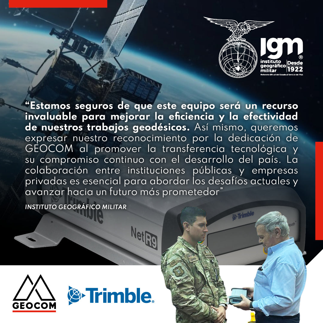
Military Geographic Institute receives GNSS reference station
During the last quarter of 2023, GEOCOM reaffirmed its commitment to the development of geodesy in the country by donating a Trimble NetR9 GNSS reference station to the Military Geographic Institute, which will be integrated into the National Geodetic Network to contribute to the various projects undertaken by this institution throughout the country.
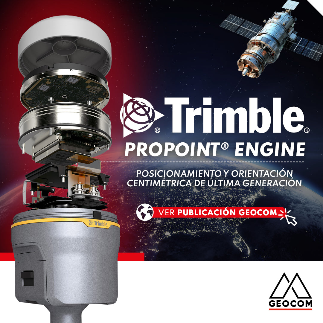
Trimble ProPoint Engine: Next-Generation Centimeter-Level Positioning and Orientation
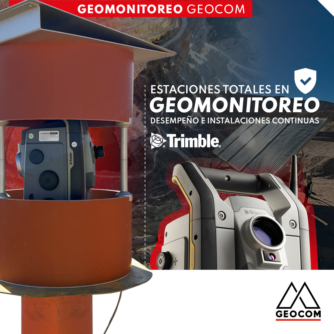
Total Stations in Geomonitoring: Performance and Continuous Installations
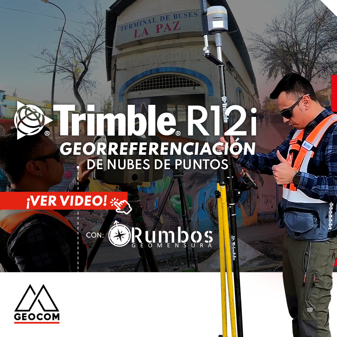
Point Cloud Georeferencing | Trimble R12i
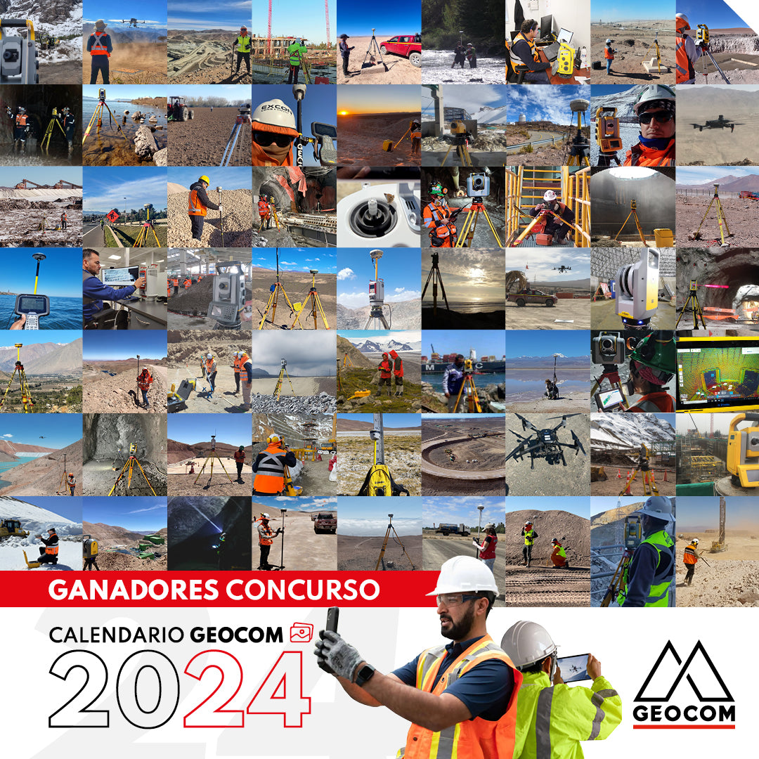
WINNERS | GEOCOM 2024 CALENDAR CONTEST
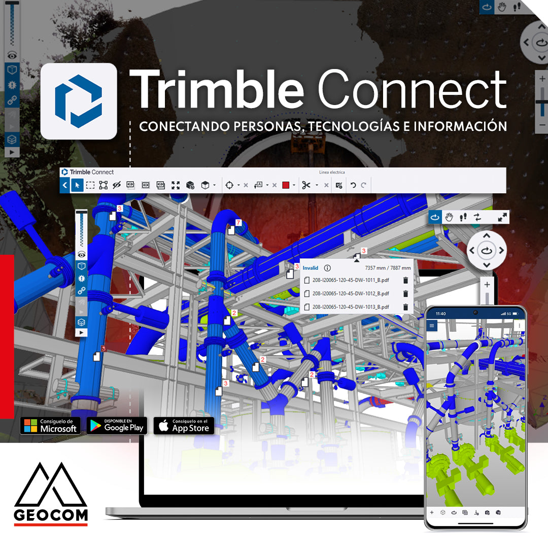
Trimble Connect: Connecting people, technologies, and information
In a world driven by digitalization, effective collaboration and project management are essential. That's why Geocom introduces the Trimble Connect common data environment, the solution that connects people, technologies, and information.
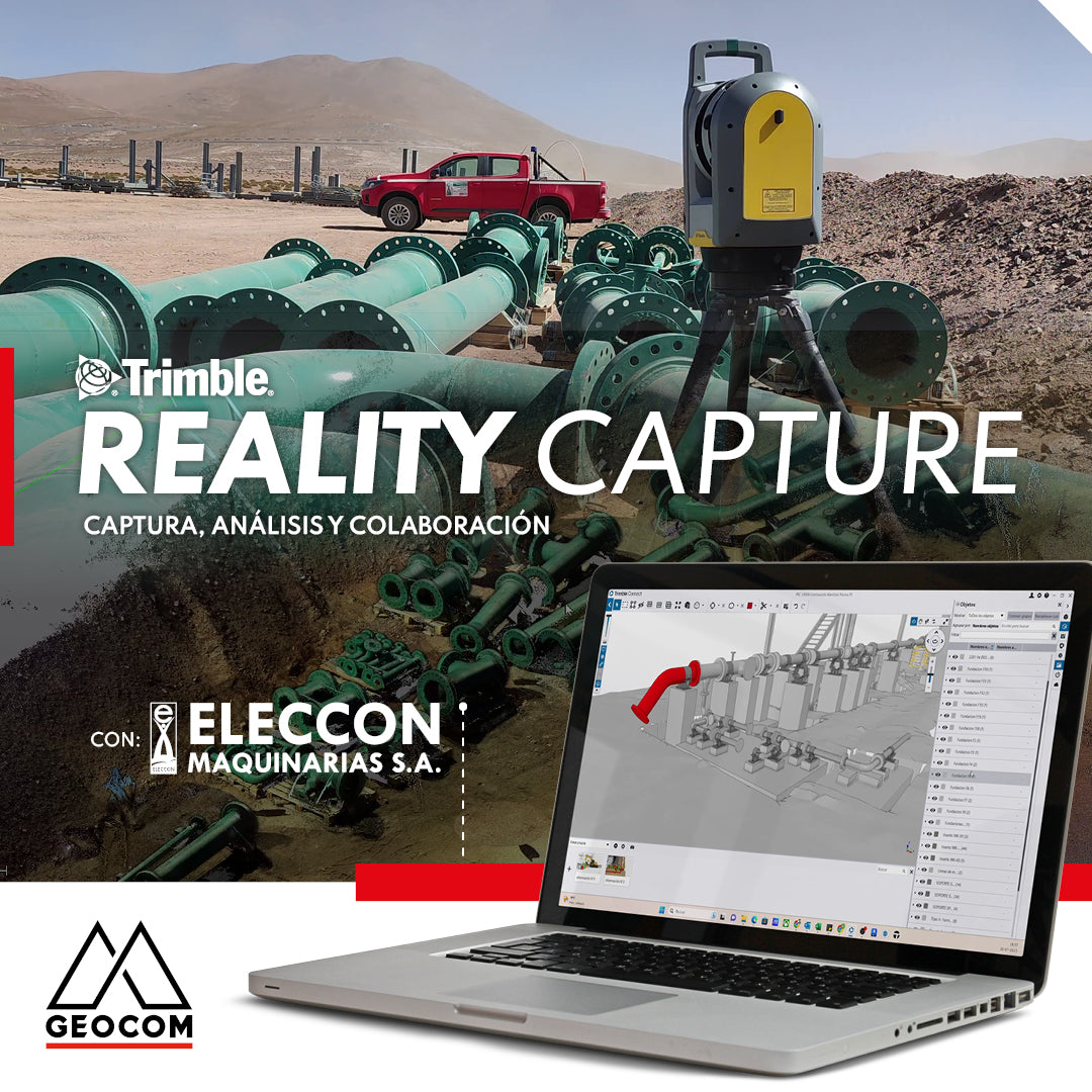
Trimble Reality Capture | Capture, analyze and collaborate

Trimble S7 | Advanced Robotic Solution
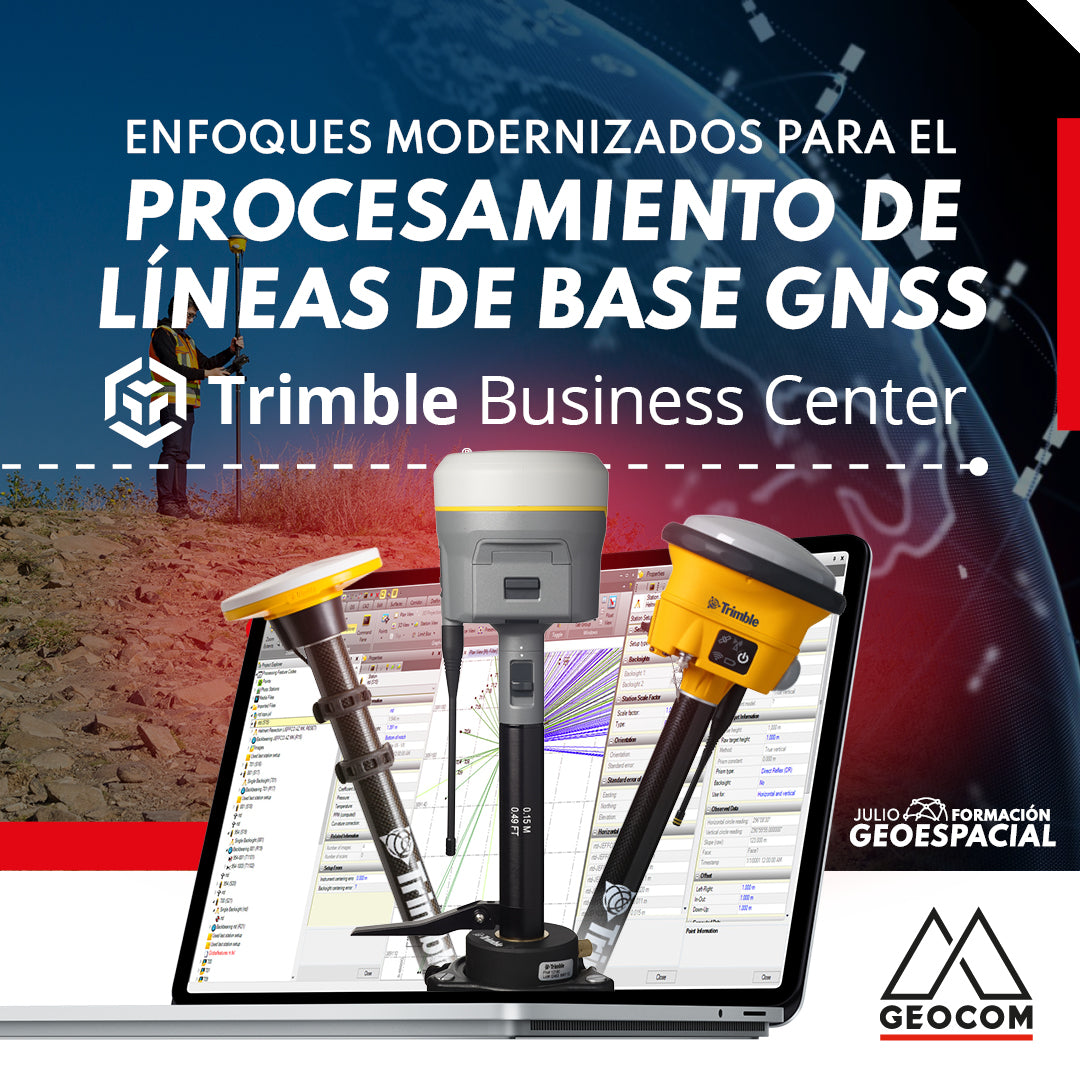
Modernized Approaches for GNSS Baseline Processing in Trimble Business Center
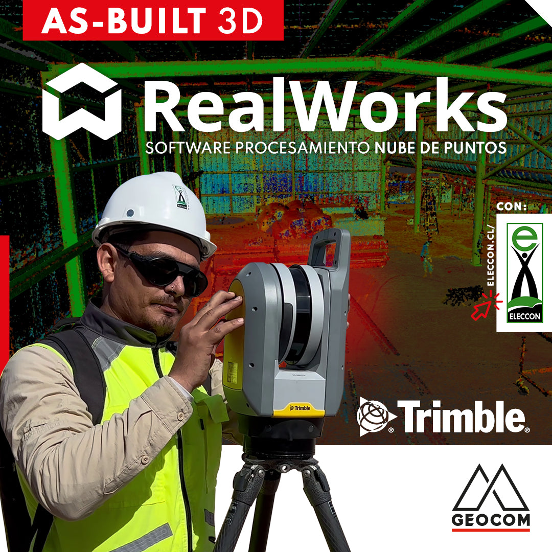
Trimble RealWorks | As-Built 3D
On this occasion, our friends from Eleccon Maquinarias show us the process they follow to digitize an existing structure using Trimble X7 laser scans and subsequently create a 3D model with Trimble Realworks software.
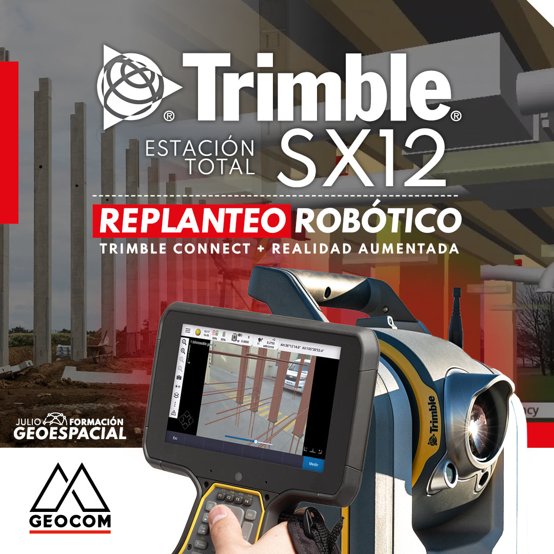
TRIMBLE SX12 ROBOTIC LAYOUT | CONNECT + AUGMENTED REALITY
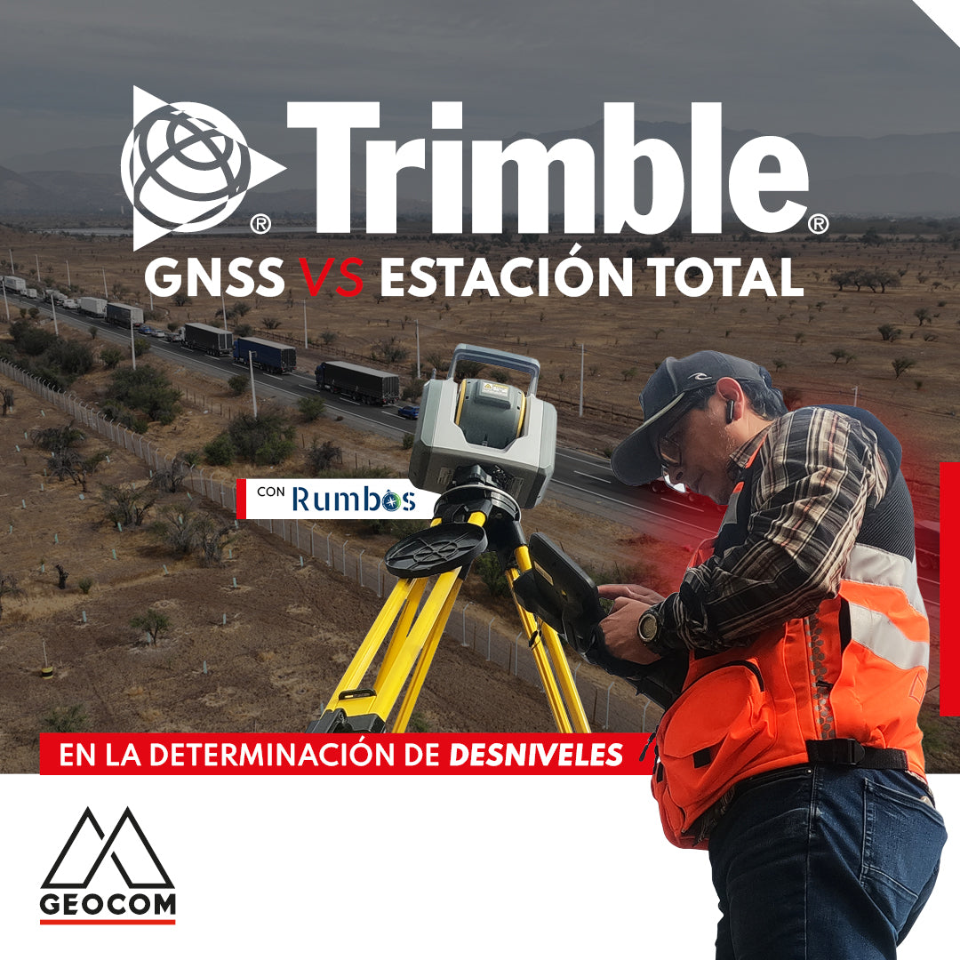
GNSS vs Total Station in determining elevation differences
To compare the determination of height differences using GNSS and total station, a 5 km itinerary is carried out, consisting of 11 materialized points spaced every 500 m, producing a total of 10 height differences, which are observed directly using GNSS and total station.
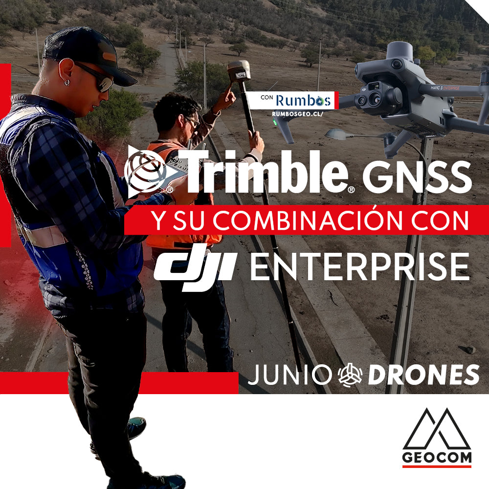
Trimble GNSS and its combination with DJI
The georeferencing of photogrammetric products is a key aspect for their use in different applications, allowing for the maintenance of a unique reference that enables robust and accurate multi-temporal analysis.