

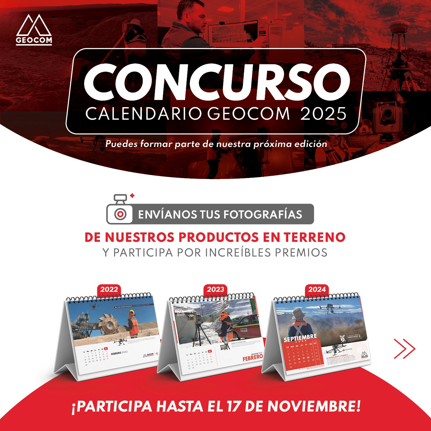
CONTEST! 📷 GEOCOM CALENDAR 2025
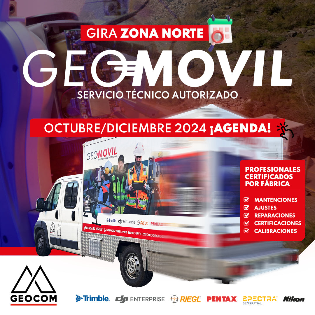
GEOMÓVIL GEOCOM | NEW TOUR OCTOBER - DECEMBER 2024
We are pleased to announce our new tour to the north of the country with our authorized on-site technical service. During the months of October and December, we will be visiting the cities of: 📍 Antofagasta, 📍 Calama, 📍 Iquique and 📍 Copiapó
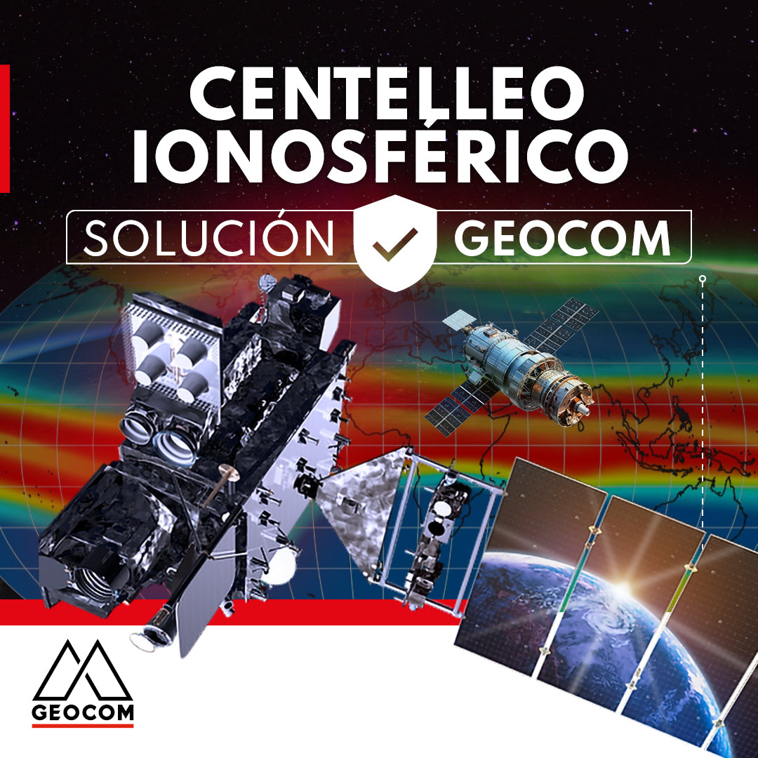
GEOCOM presents a solution for ionospheric scintillation
This article reviews the impact of the solar cycle and ionospheric scintillation on GNSS users and manufacturers. In addition, GEOCOM's developments and technology to mitigate these effects on satellite positioning are presented.
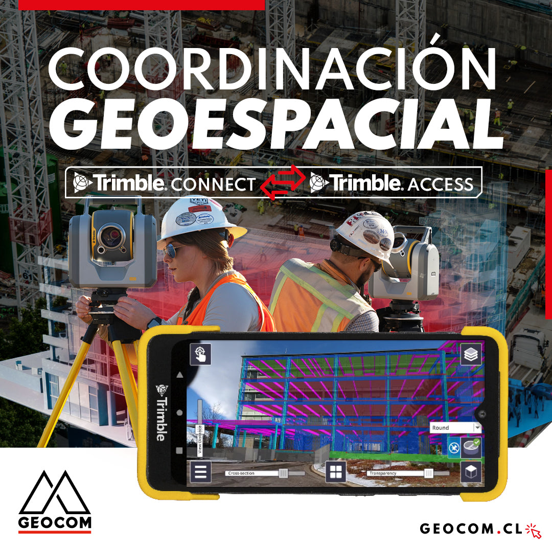
Geospatial Coordination | Trimble Connect Workflow with Trimble Access
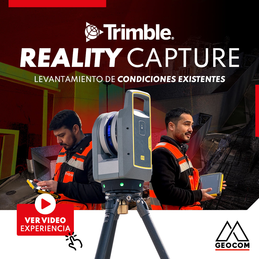
Trimble Reality Capture: Existing conditions survey

Trimble Forensics Reveal: Scene Digitization
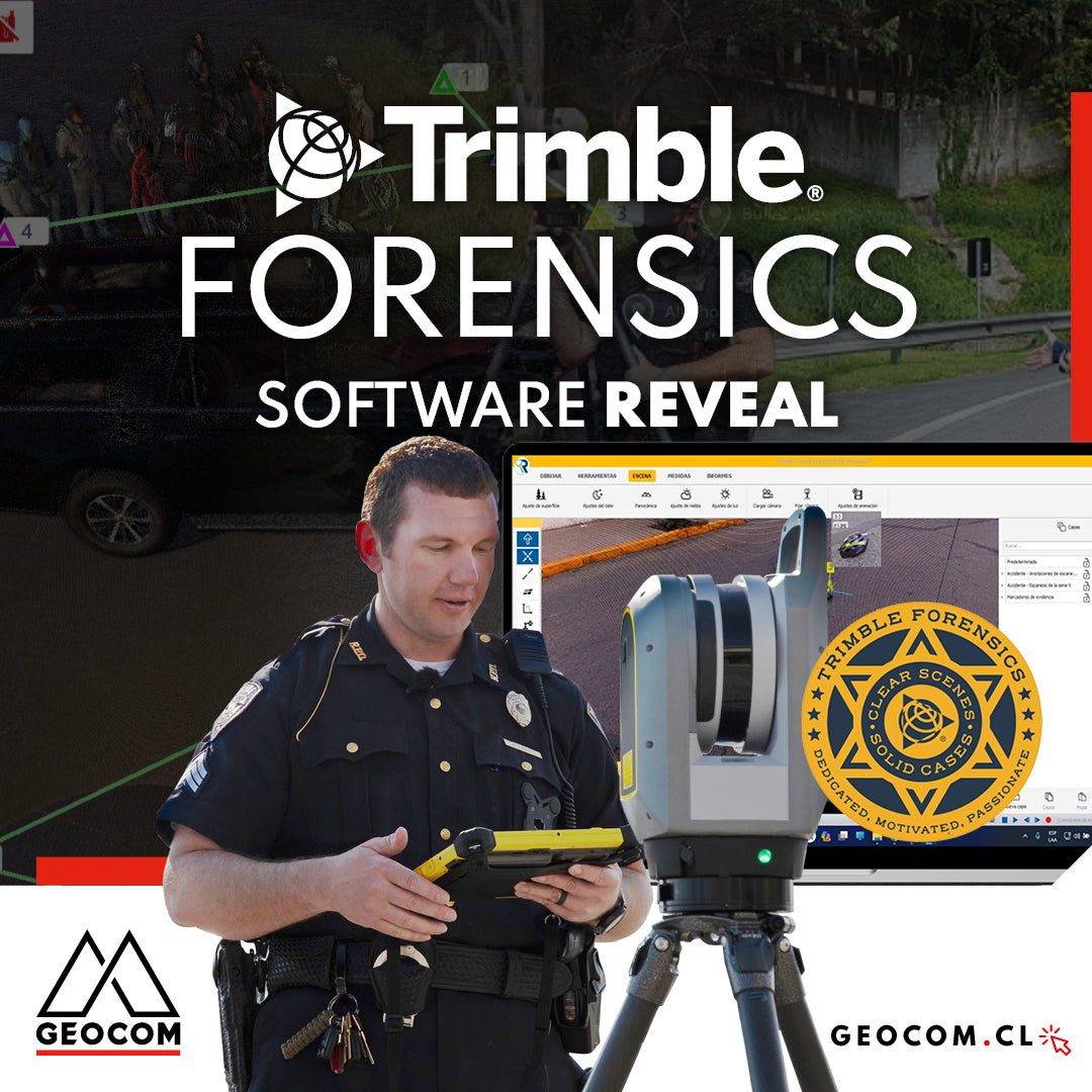
Trimble Forensics: Software Reveal
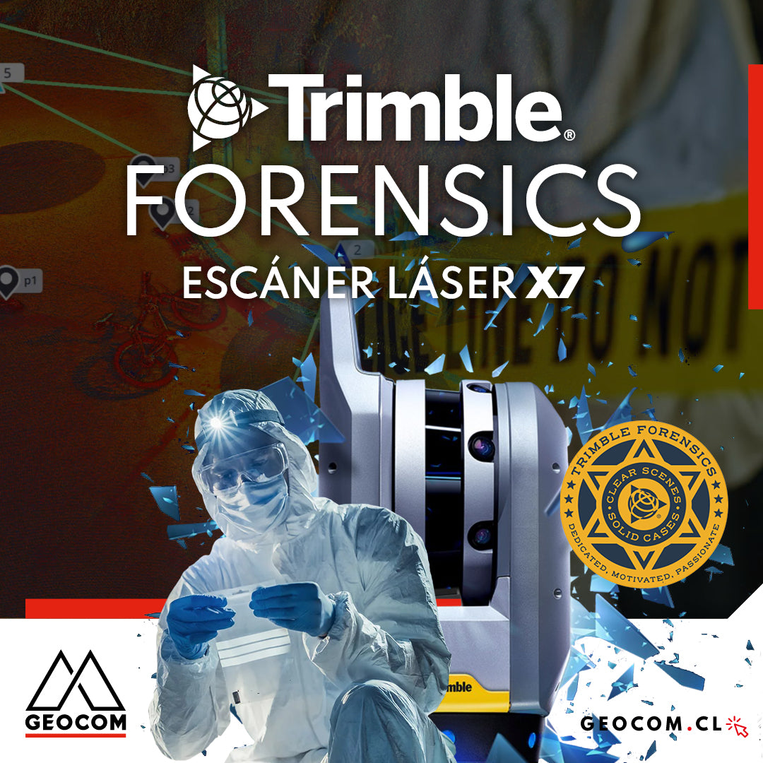
Trimble Forensics: X7 Laser Scanner
![Reality Capture en edificación: [CAP.1] Modelamiento 3D “As built”](http://www.geocom.cl/cdn/shop/articles/post_Reality_capture_capitulo1.jpg?v=1715096235&width=1080)
Reality Capture in building: [CH.1] "As-built" 3D modeling
In this experience, we immersed ourselves in the Trimble Reality Capture workflow to generate an "As-built" 3D model of a 5-story building with 2 underground levels.
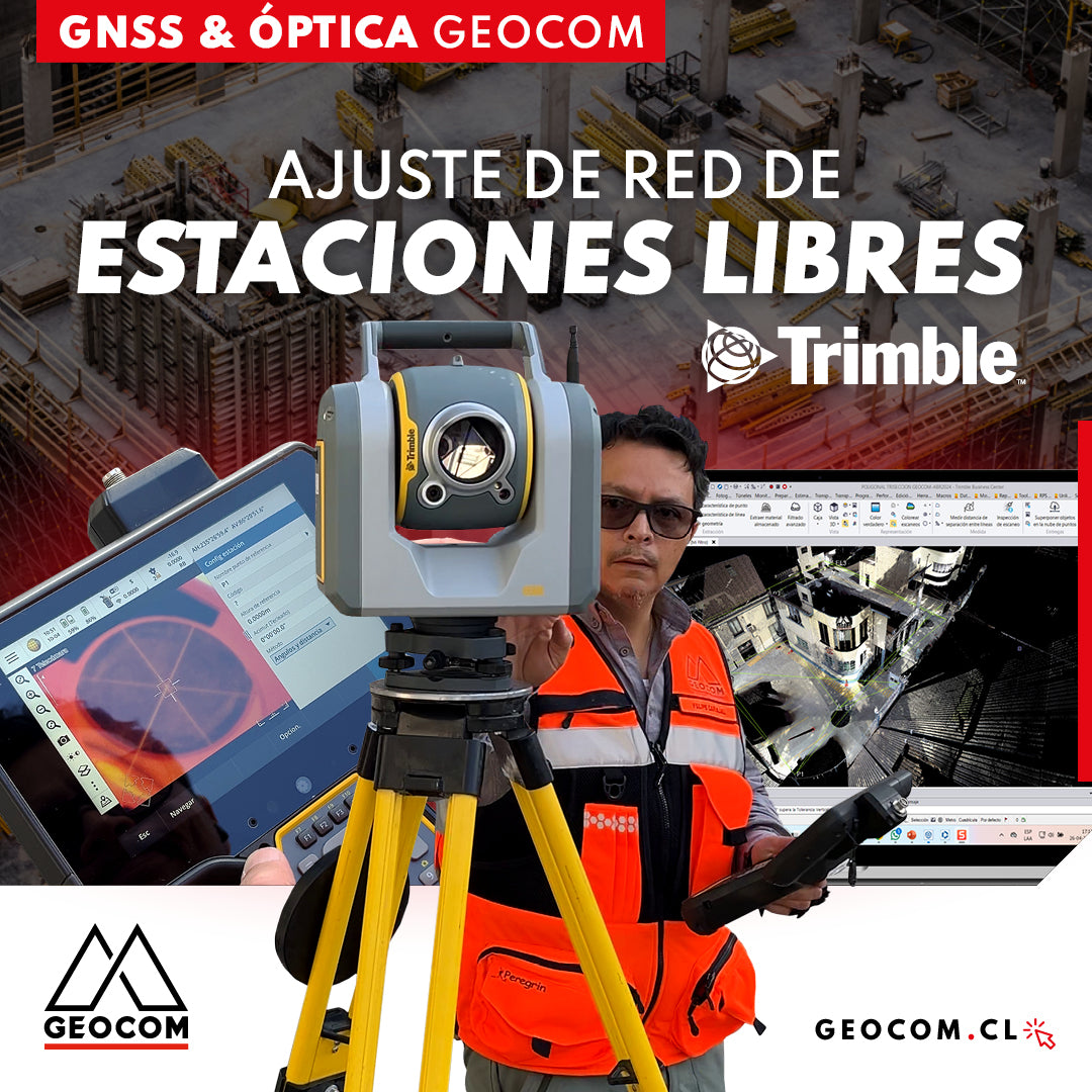
Free Station Network Adjustment
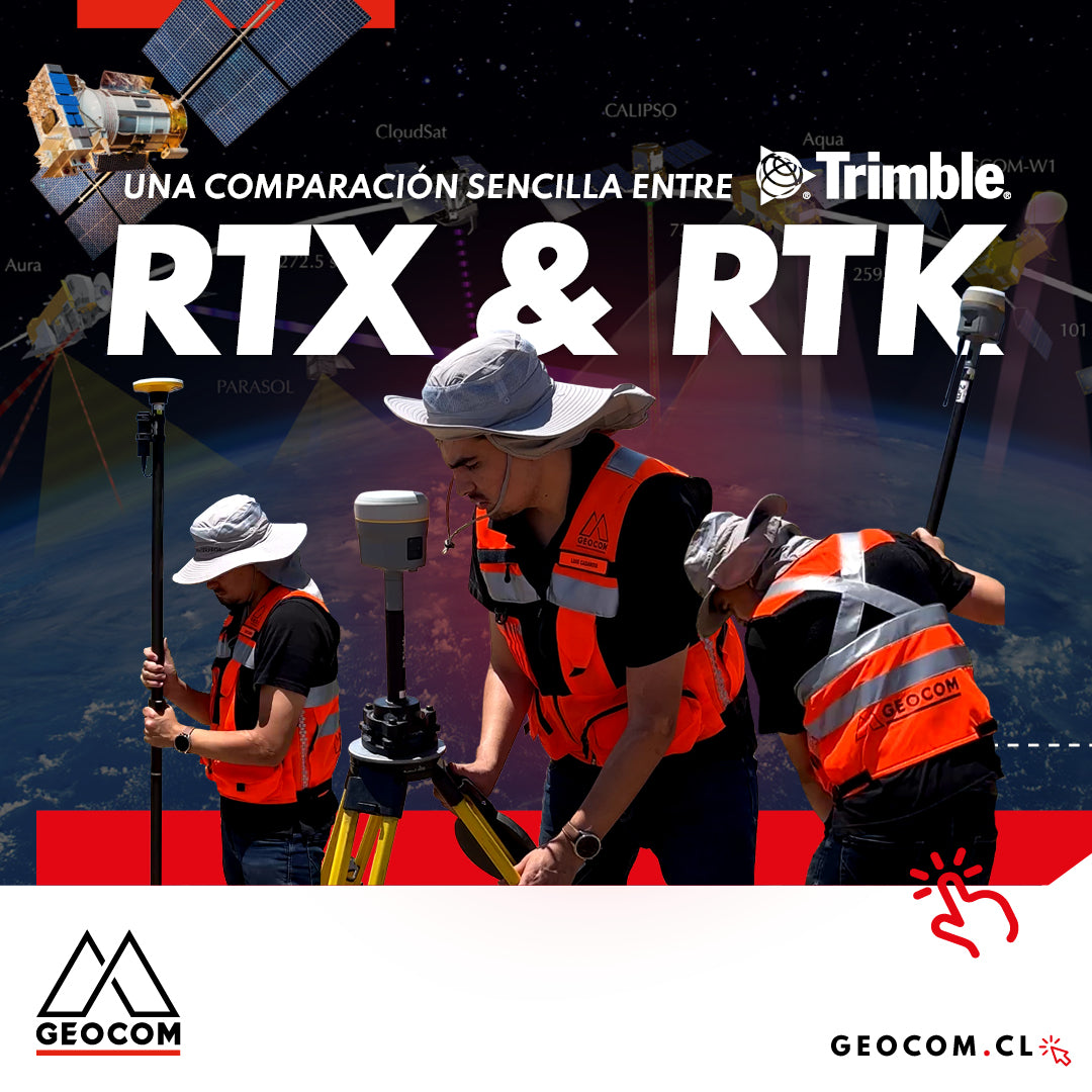
A Simple Comparison Between Trimble RTX & RTK
Trimble has delved deeper into the PPP technique through Trimble RTX, which can be used either in real-time or post-processing. Now, in terms of compatibility, the questions that arise are: Is RTX compatible with determinations made in RTK? Can RTX and RTK data coexist in the same project?
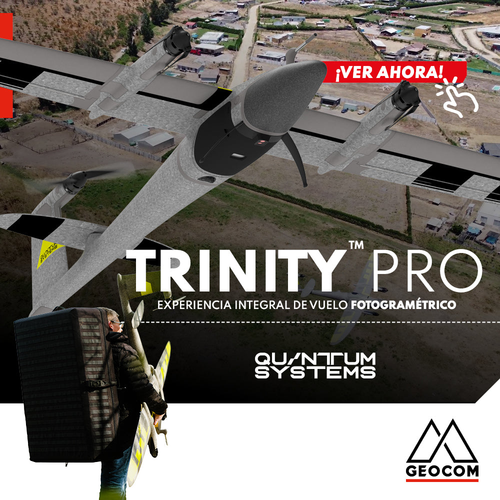
Quantum Systems Trinity Pro | Comprehensive Photogrammetric Flight Experience
In our recent mission, we completed a comprehensive photogrammetric flight experience, using cutting-edge technology to deliver high-precision, high-quality results. Here is an overview of our process ↓
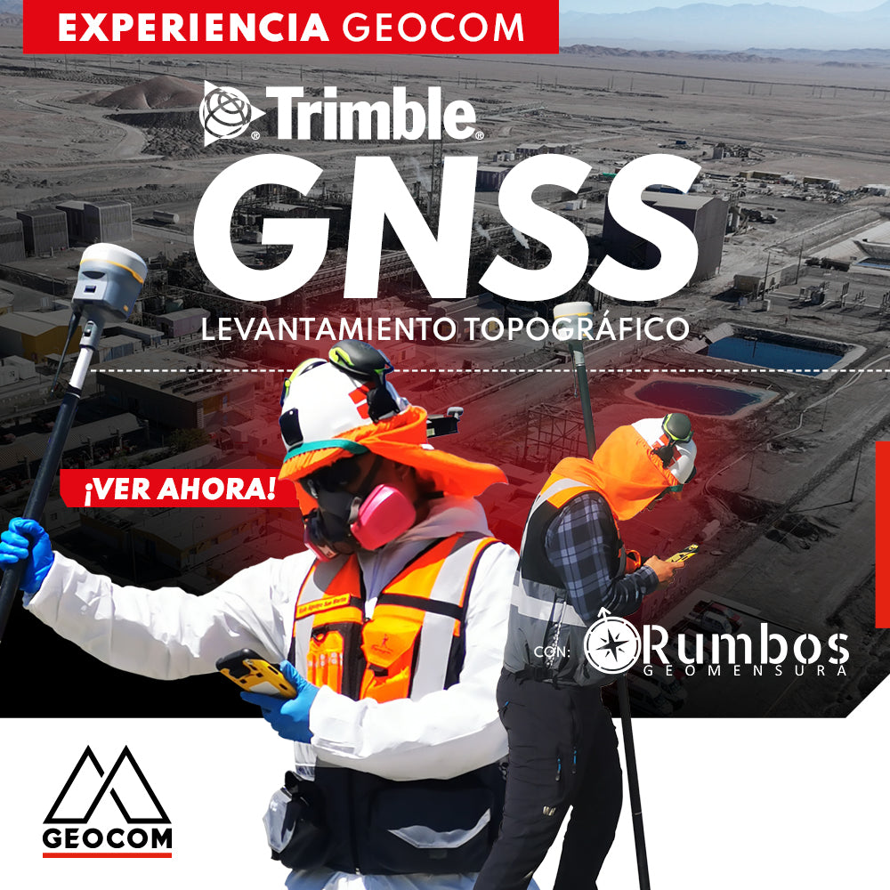
Trimble GNSS | Mine Plant Survey
GNSS in its RTK mode has become a standard for conducting topographic surveys due to its high productivity and ease of observation. Furthermore, by adding automatic drawing tools, the use of GNSS is tremendously beneficial.

Trimble Business Center: Geometric Leveling
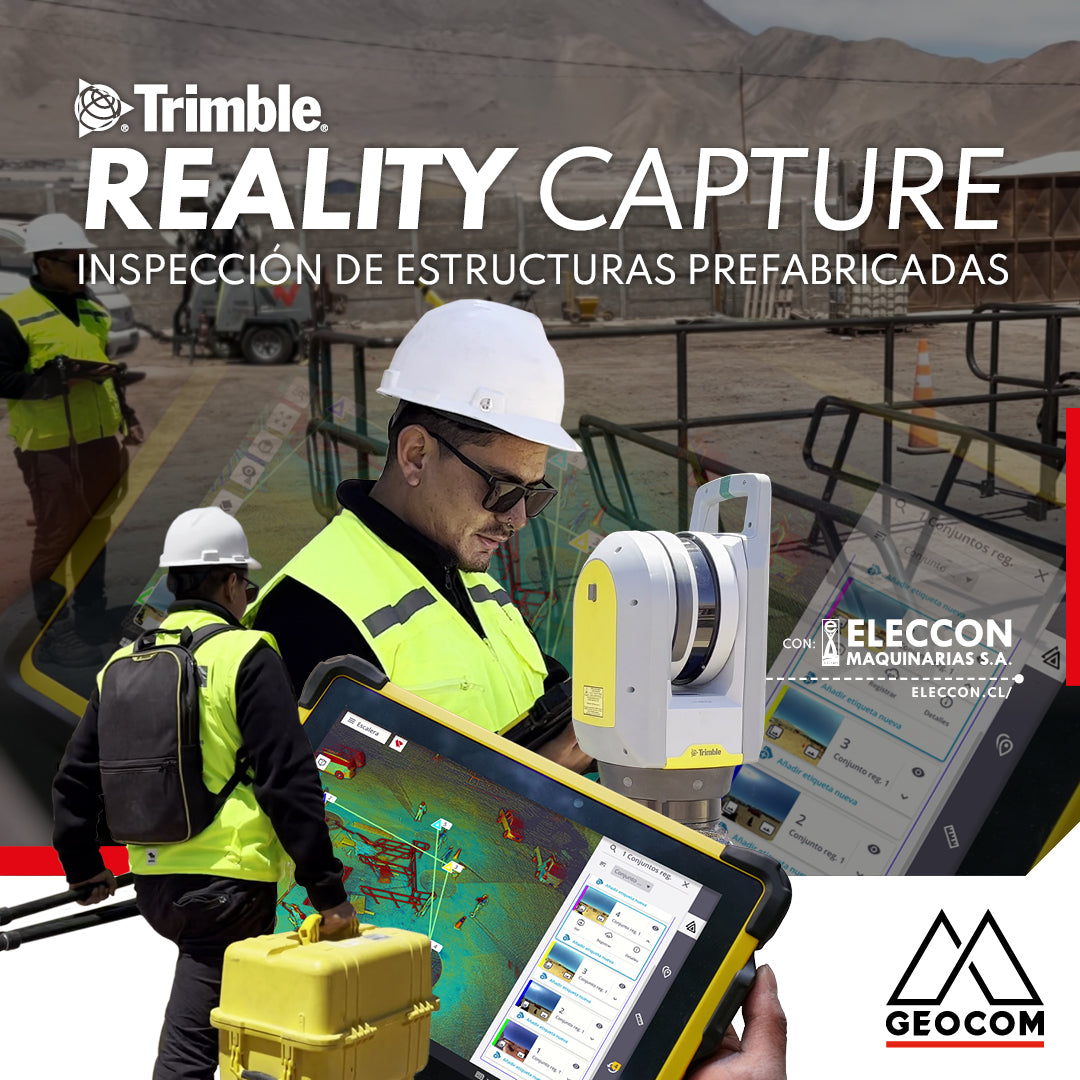
Trimble Reality Capture: Prefabricated Structure Inspection
Enriching the inspection process of prefabricated structures destined for mining operations, our friends at Eleccon Maquinarias share their workflow. This is based on the use of Reality Capture tools, such as the Trimble X7 laser scanner, Trimble Realworks processing software, and the Trimble Connect collaboration platform.