

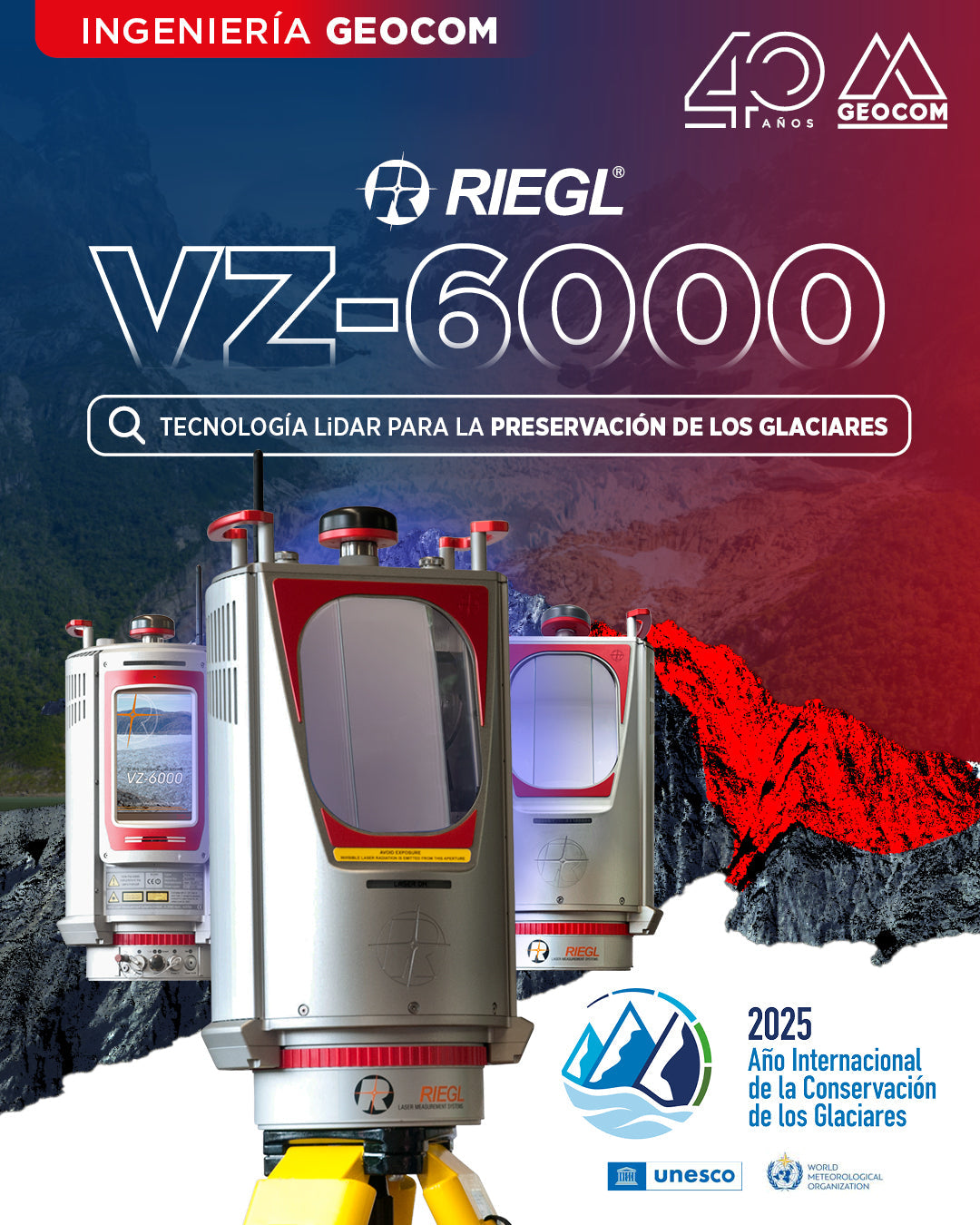
Riegl VZ-6000: LIDAR Technology for Glacier Preservation
LIDAR technology has marked a significant turning point in the technological transformation of glacier monitoring. The VZ-6000 laser scanner, developed by the Austrian company Riegl in 2012, has set new standards in remote data acquisition.
![Representación topográfica en TBC [01 CICLO TBC]](http://www.geocom.cl/cdn/shop/articles/post_ig_ciclo_TBC1_47d4cfed-4ef8-4b97-9369-3526de5313c6.jpg?v=1746040063&width=1080)
Topographic Representation in TBC [01 TBC CYCLE]
PUBLICATION 01 | TBC CYCLE | GEOCOM Engineering
TBC allows for a convenient combination of geospatial observation techniques with the goal of delivering results obtained under a single platform, optimizing the office workflow.
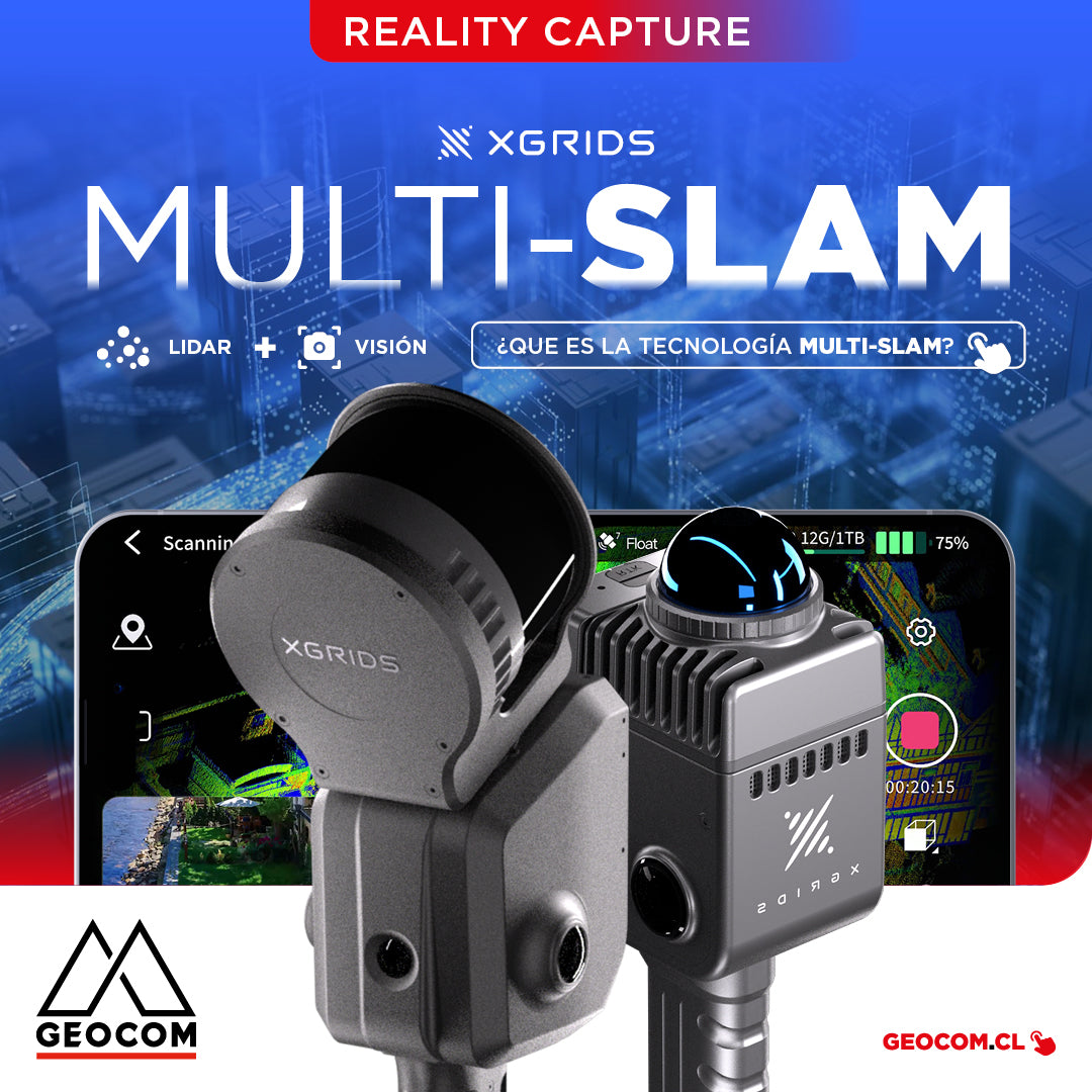
It is the technology that combines data from different sensors, such as LiDAR, cameras, and inertial measurement units (IMUs), to improve the accuracy and stability of simultaneous localization and mapping.
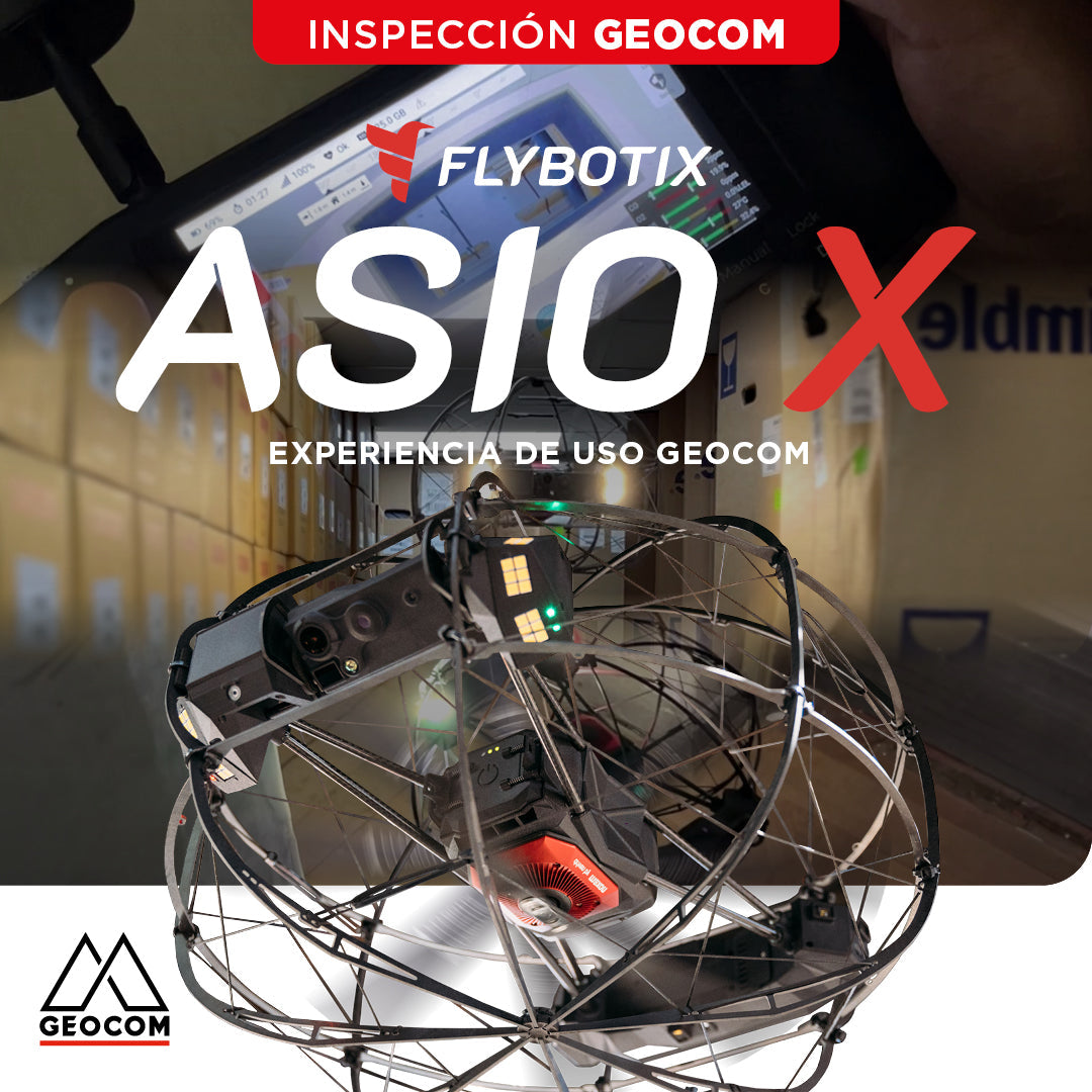
Flybotix ASIO X: GEOCOM User Experience
GEOCOM strengthens its commitment to technological innovation by welcoming Alejandro Quidiello, Flybotix Test and Quality Engineer, to its facilities. Quidiello provided comprehensive training on the ASIO X inspection drone system.
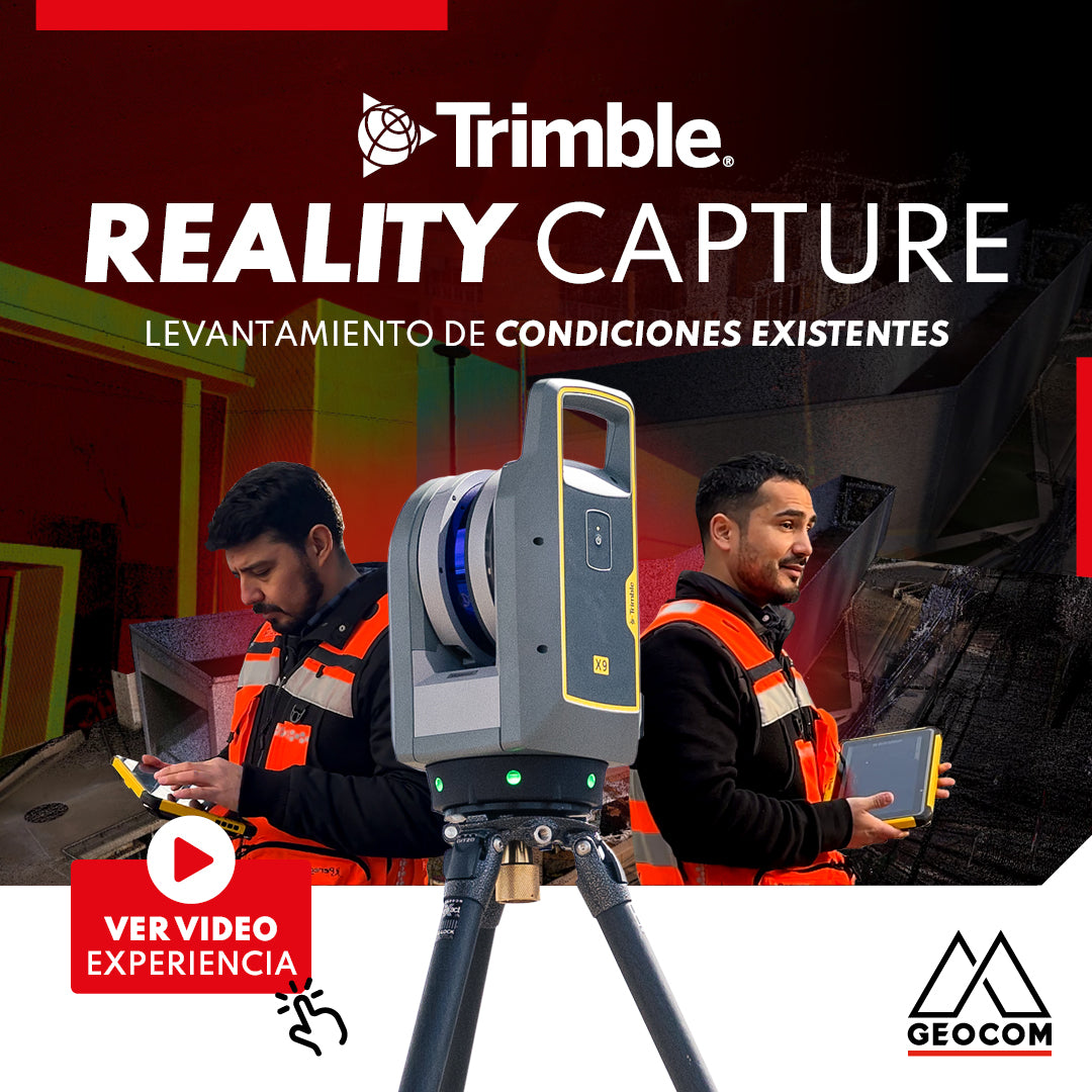
Trimble Reality Capture: Existing conditions survey
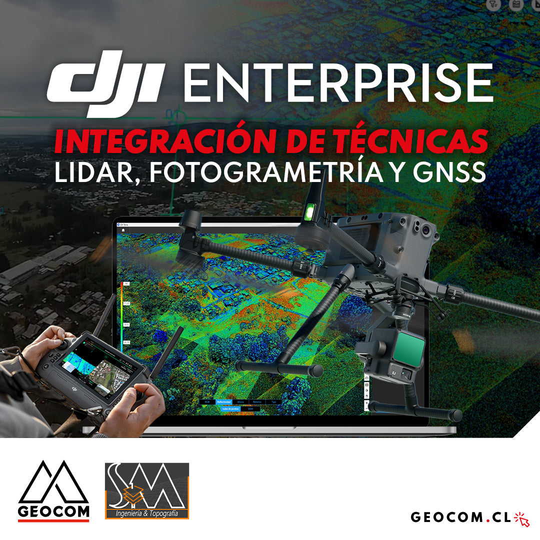
DJI Drones | Integration of LiDAR, Photogrammetry, and GNSS Techniques
Success story, where a project was executed integrating different geospatial capture techniques, using a DJI M350 drone with two sensors: Zenmuse P1 for photogrammetry and Zenmuse L2 for LiDAR. In this article, we will review the key points that made the use of both sensors necessary to provide a more representative and accurate capture of the area.
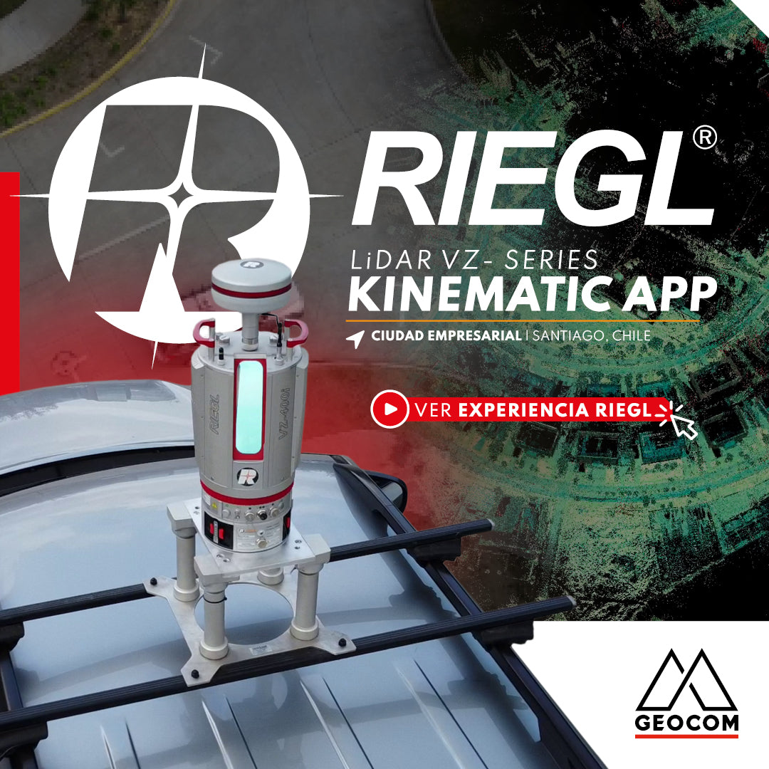
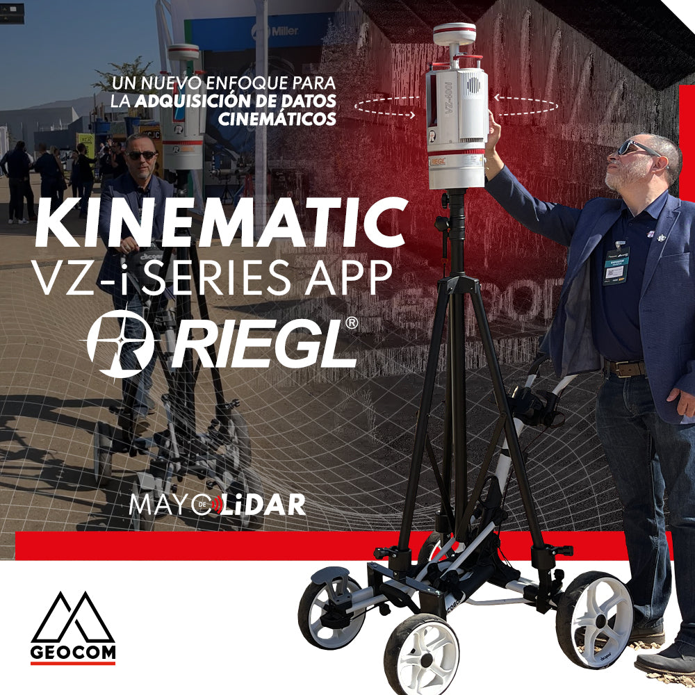
RIEGL VZi-Series: Kinematic Measurements with Terrestrial LiDAR Scanners (TLS)
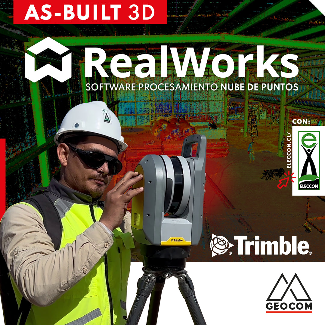
Trimble RealWorks | As-Built 3D
On this occasion, our friends from Eleccon Maquinarias show us the process they follow to digitize an existing structure using Trimble X7 laser scans and subsequently create a 3D model with Trimble Realworks software.

RIEGL LiDAR Applications on Drones
RIEGL offers a range of possibilities in the drone LiDAR segment, highlighting the miniVUX-3UAV, VUX-120, and VUX-160 sensors, which deliver a higher level of productivity and performance.
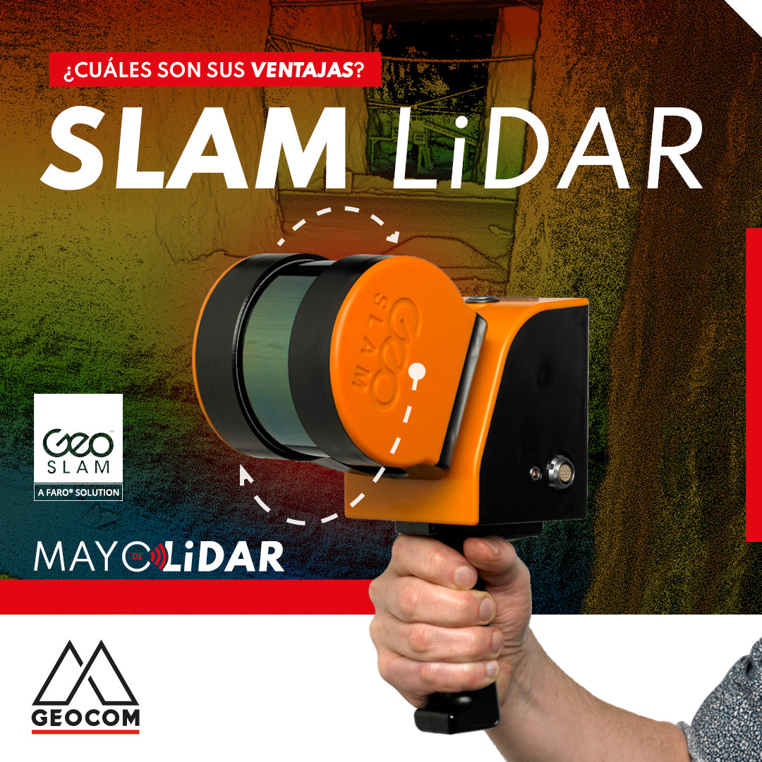
LiDAR SLAM: What are its advantages?
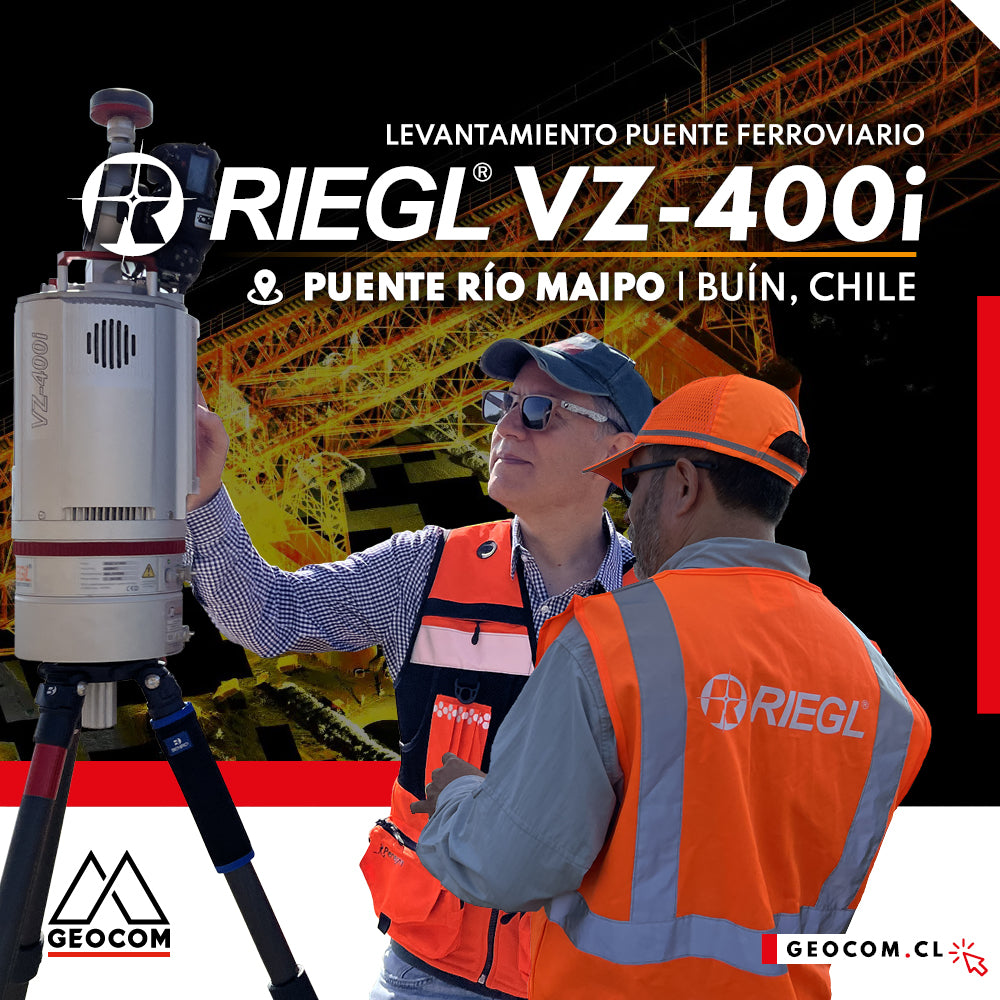
LiDAR RIEGL | Railway Bridge Survey
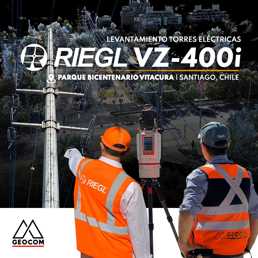
RIEGL LiDAR | Urban Infrastructure – Electrical Transmission Towers
Electrical transmission systems, visible as high-voltage lines manifested by overhead conductors on towers, leave their mark on the territory, materially shaping public spaces.
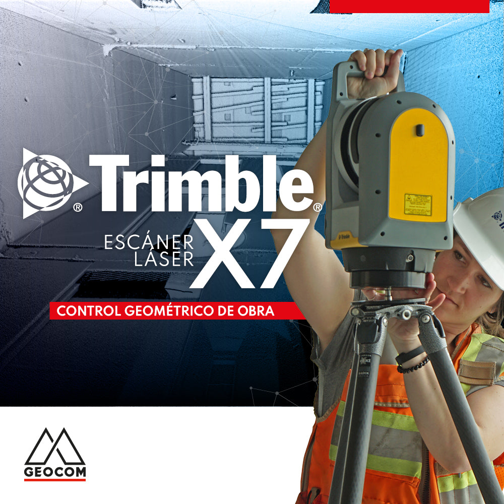
Trimble X7 | Construction geometric control
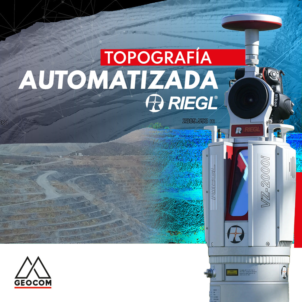
Automated Topography | RIEGL LiDAR
The importance of acquiring data remotely is a requirement established in mining projects, where knowing the topography at different periods or daily is a starting point for a series of analyses, projections, planning, and controls in the mining district.