

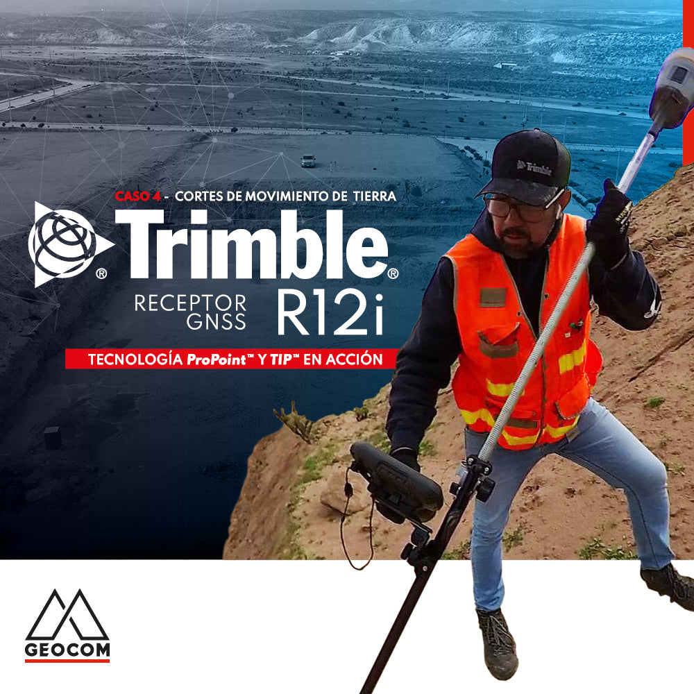
Case 4 Trimble R12i | Earthwork Cut Sheets
This activity involves some risks associated with falls at the same or different levels, which can be avoided by using R12i's tilt measurement functionality.
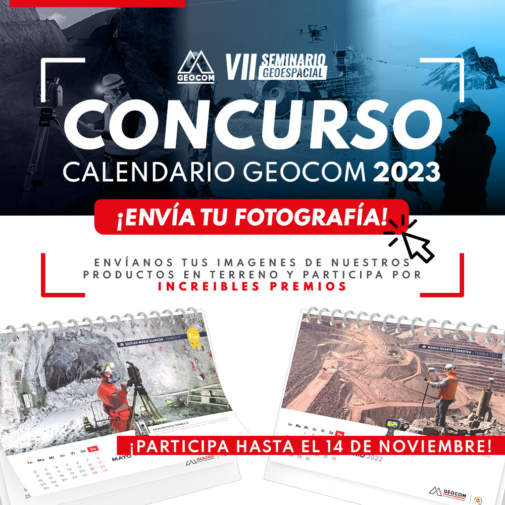
Participate until November 14th
Send us your photos of our products in the field and enter to win amazing prizes!
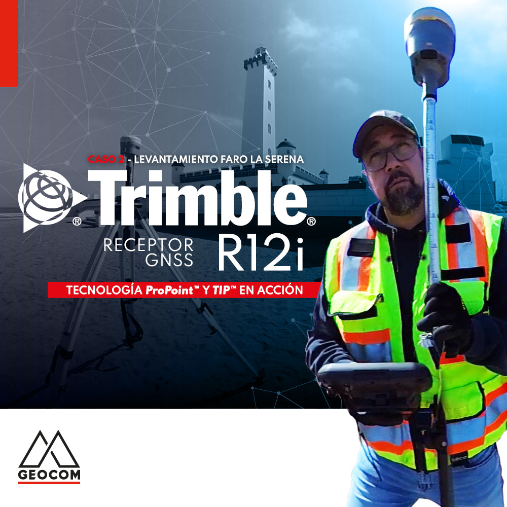
Case 2 Trimble R12i | La Serena Lighthouse Survey

Is it necessary to configure map projections for total stations?
It is strictly necessary to configure a map projection when working with a total station, and even more so when combined with determinations made with GNSS. This applies to any map projection, even those that minimize the effect of the combined scale factor on projected distances.
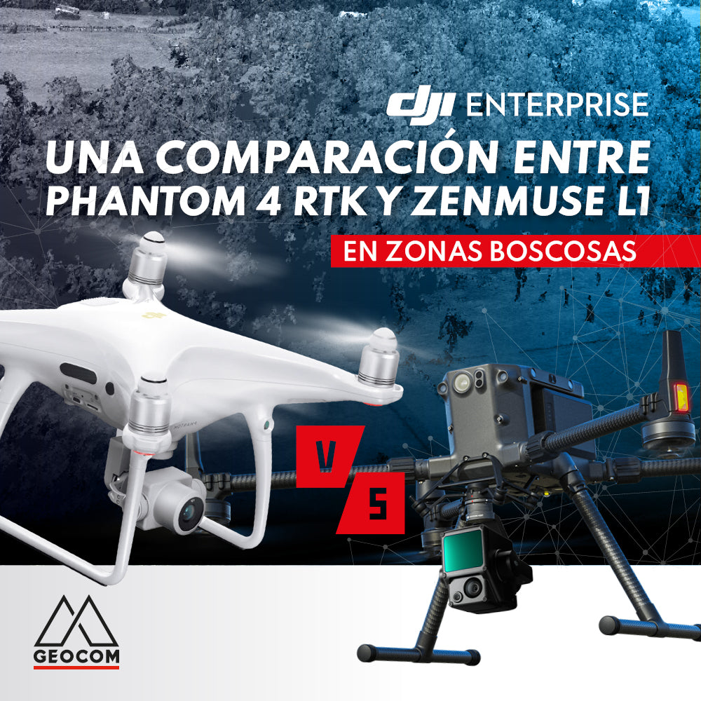
A comparison between Phantom 4 RTK and Zenmuse L1 in wooded areas
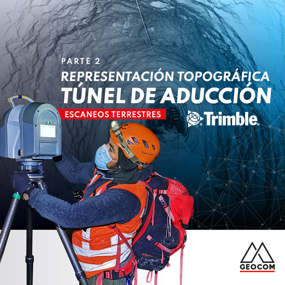
Topographic Representation of the Adduction Tunnel | Part 2
In this second part of the experience with Rumbos Geomensura, we will show the laser scanning process carried out in the field, as well as the handling of the point cloud to go from isolated scan positions to a registered and correctly georeferenced point cloud to obtain final products that represent the existing geometry.
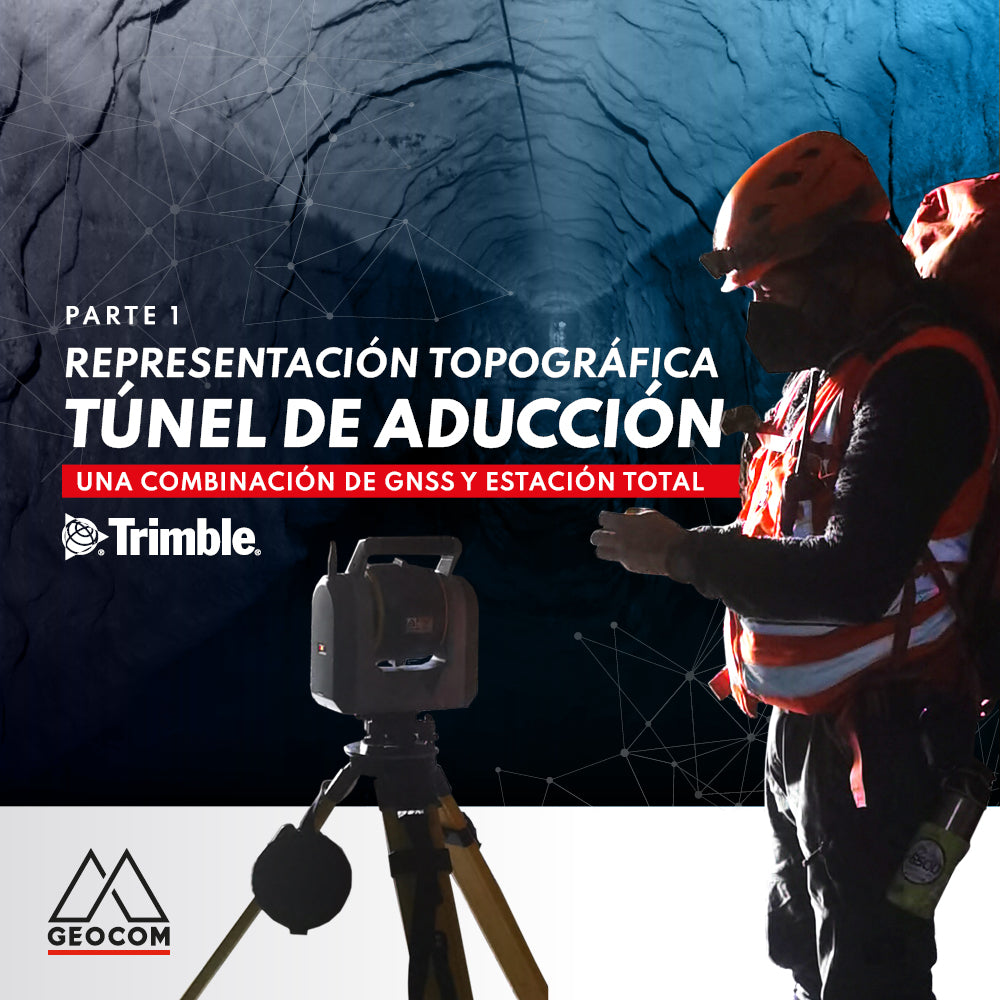
Topographic representation of the adduction tunnel | Part 1
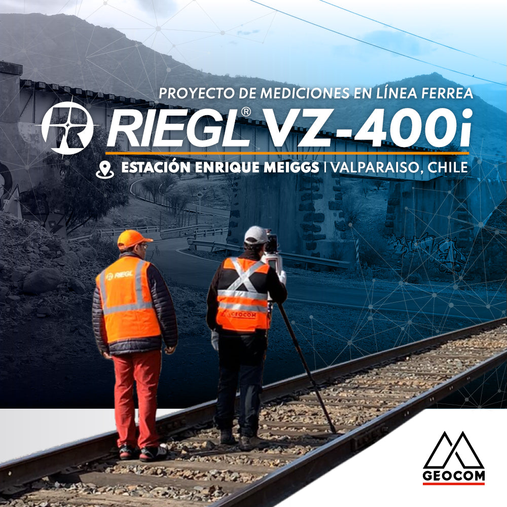
RIEGL VZ-400i | Railway Line Measurement Project
Survey of a railway station, which was part of the Santiago-Valparaíso line of the State Railway Company, using RIEGL VZ-400i equipment.
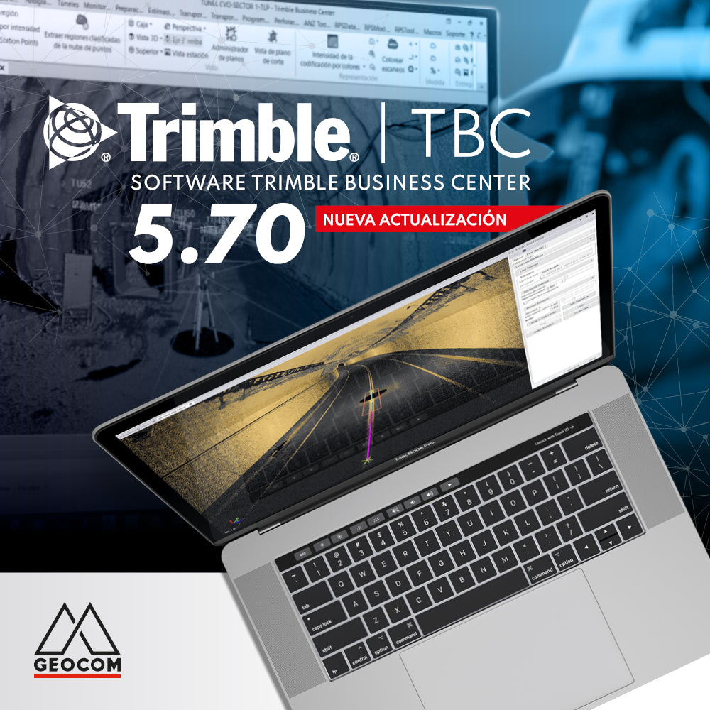
New Trimble Business Center 5.70 update
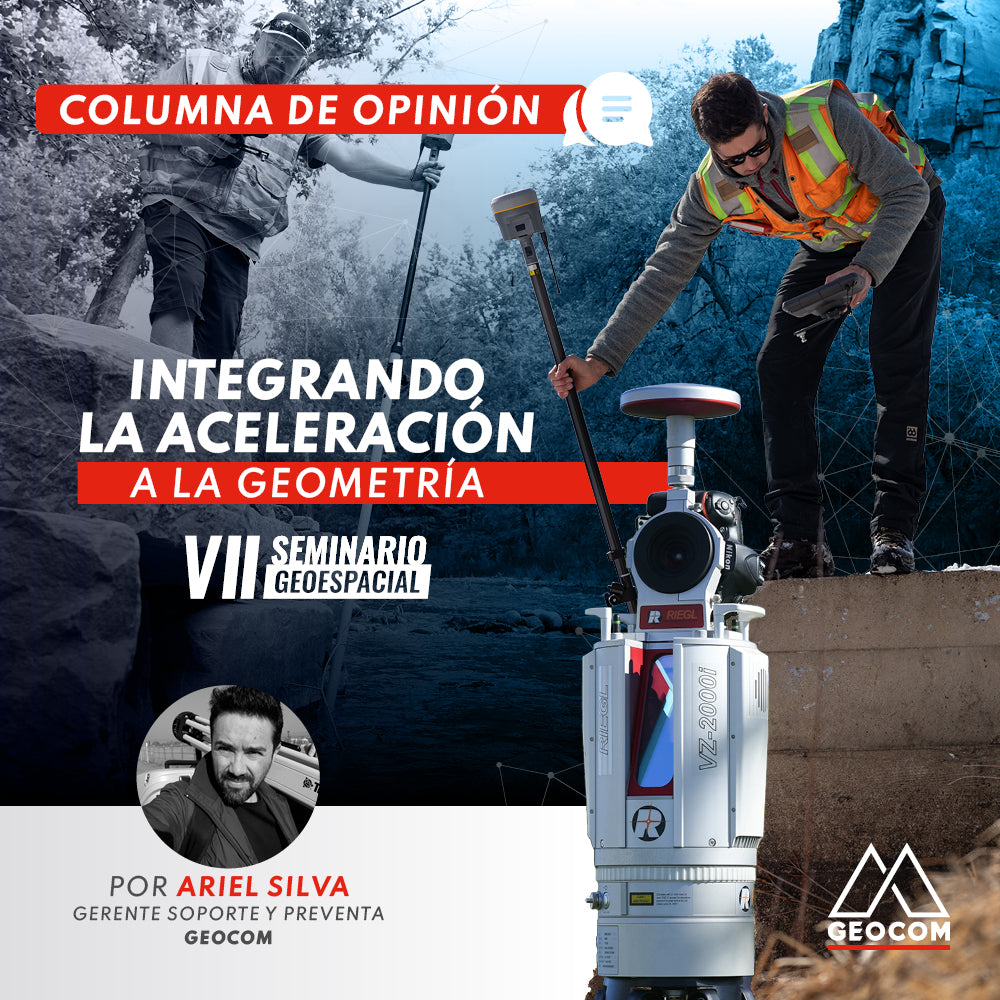
OPINION COLUMN | Integrating Acceleration into Geometry
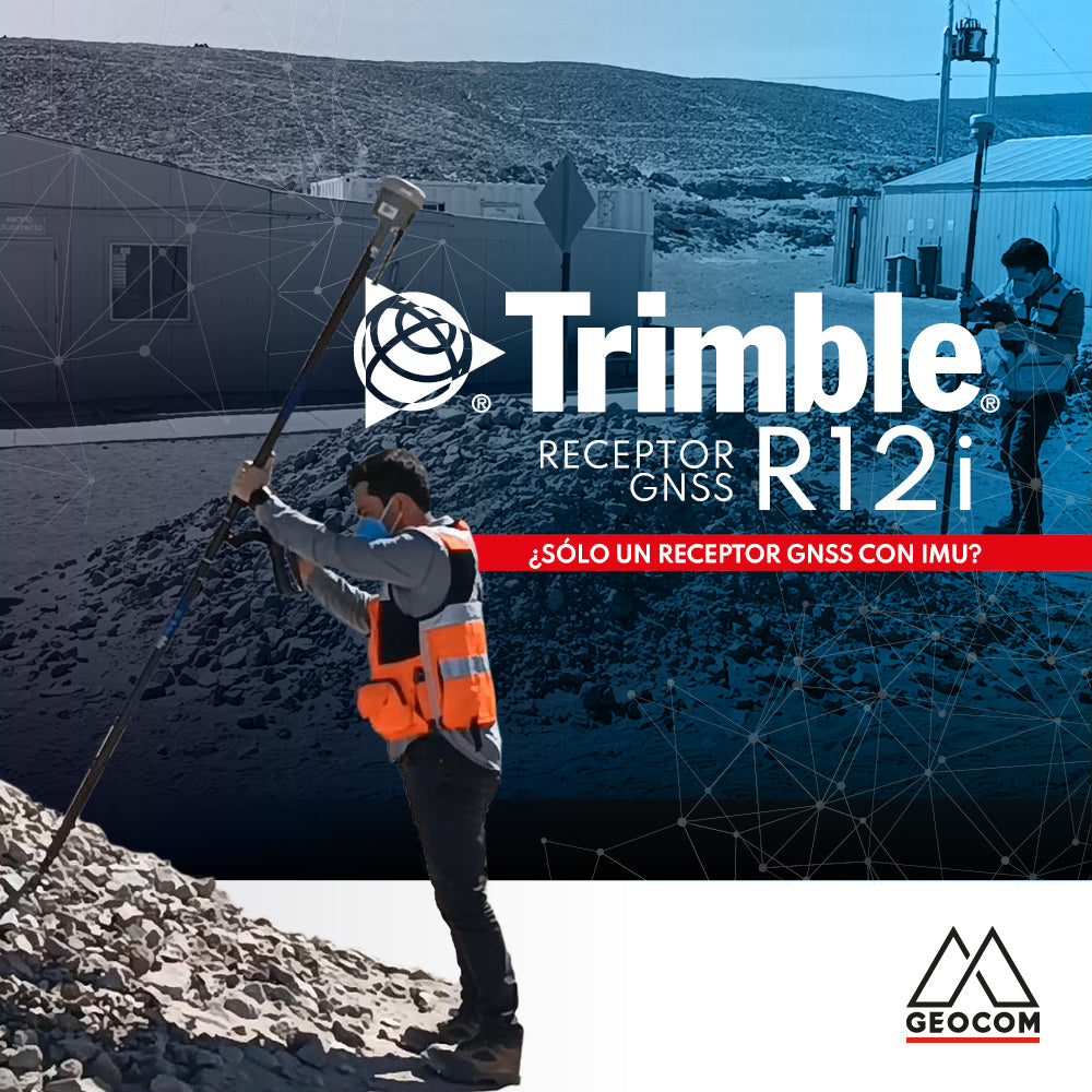
Trimble R12i: Just Another GNSS Receiver with IMU?
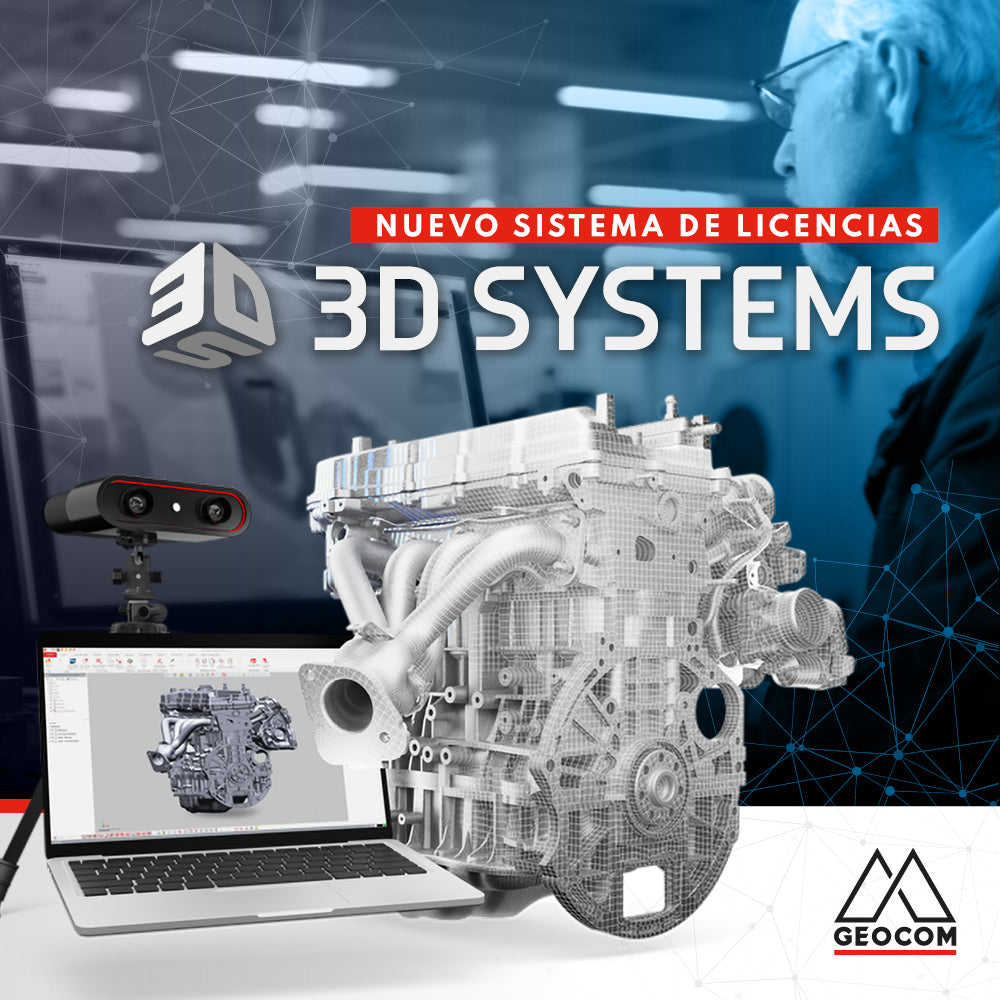
New 3D Systems licensing system
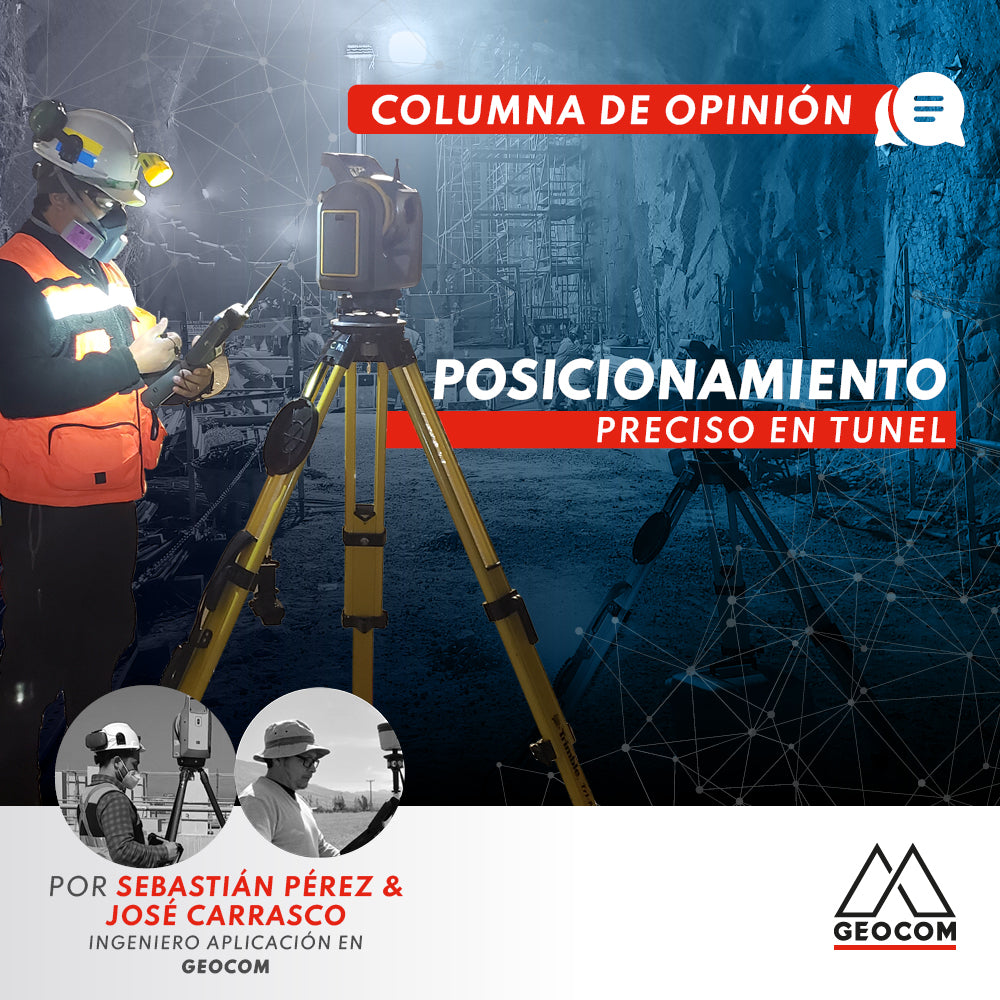
OP-ED | Precise positioning in tunnels

Scantech's calibration center is accredited to ISO/IEC 17025:2017

Bentley Invites Professionals and Students to Experience Its Products for Free