News

Tecnología ProPoint™ en Trimble DA2

ProPoint™ Technology in Trimble DA2

One of the requirements for proper GNSS observation is to have a clear sky to achieve good tracking of the signals sent by the satellites. This requirement seems to be an unavoidable condition for GNSS; however, Trimble has introduced significant improvements in the RTK processing engine for its new GNSS receivers.

Read more

COLUMNA DE OPINIÓN | Tecnología LiDAR: ¿Qué sabemos, qué hemos aprendido y qué esperamos?

OPINION COLUMN | LiDAR technology: What do we know, what have we learned, and what do we expect?

Today, field professionals still consider GNSS equipment and Total Stations their best tools, but in third place, and gaining ground every year, is LiDAR equipment. If before we were content with a measurement of several hundred RTK and Total Station points, today we're talking about millions of points in a "Point Cloud with Real Color."

Read more

Trimble R12i como estación base por internet

Trimble R12i as an internet base station

Why not consider a roving GNSS base that can broadcast differential corrections over the internet? This is precisely what Trimble R12i achieves.

Read more

COLUMNA DE OPINIÓN | Drones para fotogrametría, evolución y seguridad operacional

OPINION COLUMN | Drones for Photogrammetry, Evolution, and Operational Safety

These ten years of experience in drone commercialization have allowed us to clearly see the advances and changes that have occurred in several aspects. The first UAS needed a mechanical launch catapult to take off, had long analog checklists, had little autonomy, and used ground control points...

Read more

Conoce las novedades de la última versión de DJI Terra 3.3.0

Learn about the new features in the latest version of DJI Terra 3.3.0

A new update was released at the end of January that includes interesting improvements for a much smoother and more optimized processing experience. Find out more details below:

Read more

Combinación de técnicas Geoespaciales | Publicación Cartógrafo.cl

Combination of Geospatial Techniques | Cartógrafo.cl Publication

Geospatial techniques have achieved a high level of automation in the observation, calculation, and data accessibility stages, leading to a considerable increase in process efficiency

Read more

COLUMNA DE OPINIÓN | Geomonitoreo: ¿Oportunidad para la geomensura y geomática?

OPINION COLUMN | Geomonitoring: An Opportunity for Geomatics and Geodesy?

We recall with some nostalgia when we competed with colleagues to see who could achieve the best ratio between observed points and time during a topographic survey, or who could set up an instrument the fastest.

Read more

Geomonitoreo a través de Trimble RTX

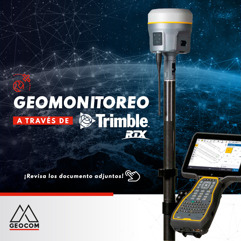
Geomonitoring with Trimble RTX

Our engineers have prepared an application example for geomonitoring combining RTX-PP processing with functionalities of the new TBC monitoring module. Check it out Here!

Read more

Bolsa de trabajo Geoespacial

Geospatial Job Board

GEOCOM offers to colleagues from different branches of geomatics, surveying, and topography, a job board which aims to create a repository of professionals and technicians

Read more

Ganadores concurso Calendario Geocom 2022

Winners of the GeoCom 2022 Calendar Contest

We have the winners!

With a great turnout last Friday, November 26, we concluded our Geocom 2022 Calendar photo contest.

Read more

Novedades de Trimble Access v2021.20

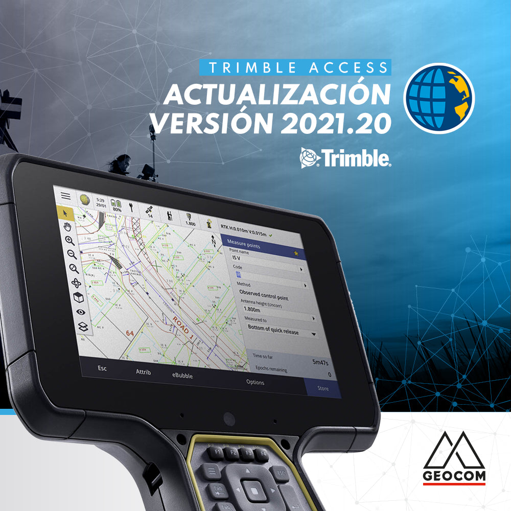
What's new in Trimble Access v2021.20

Trimble Access™ version 2021.20 is now available, offering new features and functionalities!

Read more

Lo nuevo en Actualización v5.60 TBC

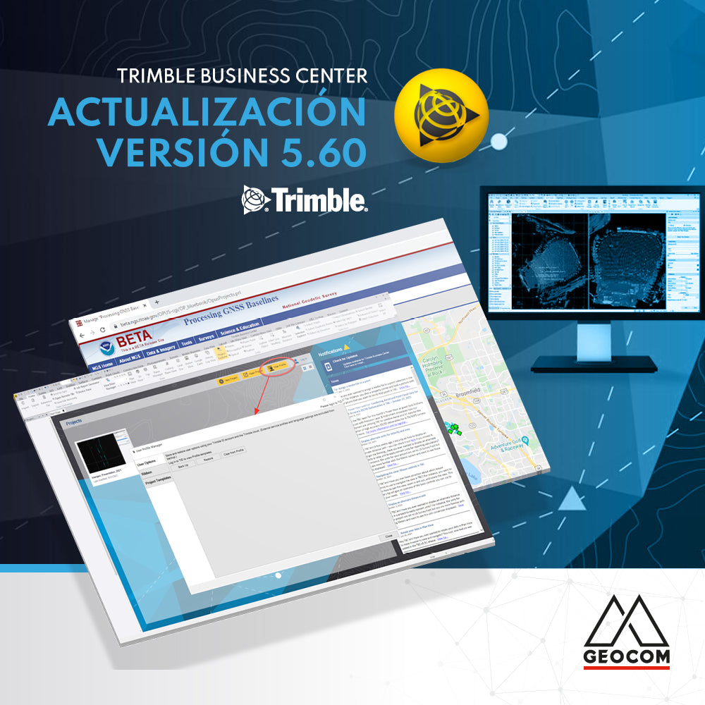
What's new in Update v5.60 TBC

Trimble Business Center (TBC) v5.60 was released on November 15, 2021. Below are the main new features of this version:

Read more

BIM, realidad aumentada y proyectos de vialidad

BIM, Augmented Reality, and Roadway Projects

The BIM methodology is already a reality in the lifecycle of many infrastructure projects in our country due to its various benefits. Discover them in this new Geocom news article.

Read more

CONCURSO FOTOGRÁFICO CALENDARIO GEOCOM 2022

GEOCOM 2022 CALENDAR PHOTO CONTEST

We want your photographs to be part of our next GEOCOM 2022 calendar, which is why we are looking for the best images of our Geospatial Solutions in the field.

Read more

Cambios en servicios Trimble RTX y Trimble xFill

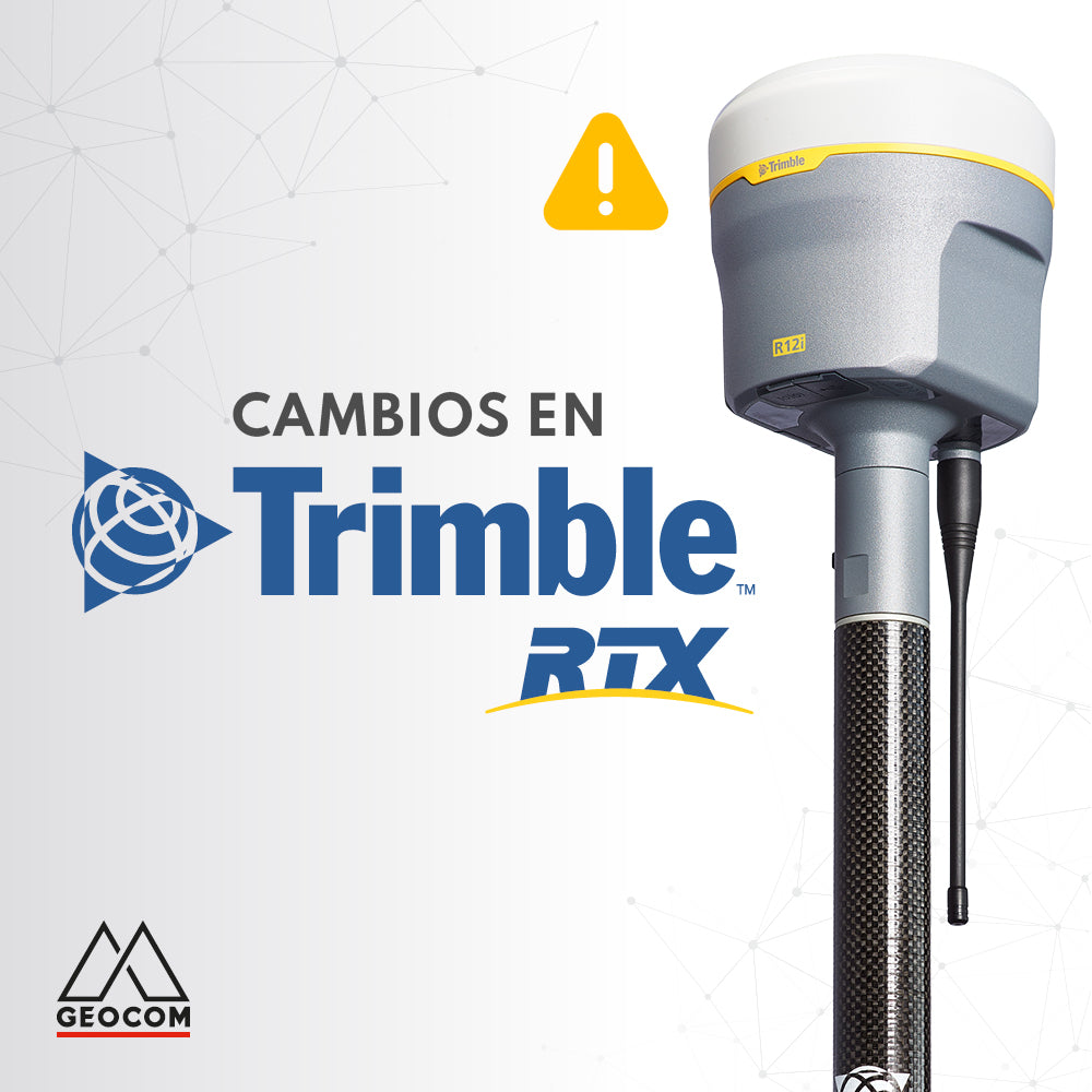
Changes to Trimble RTX and Trimble xFill services

Trimble RTX is undergoing some changes. The frequency and baud rate will change as follows:

Region: Latin America | Name: RTXAL | Frequency: 1545.285 MHz | Baud rate: 2400 bps

This change must be made before September 30.

Read more