

![[SANTIAGO 📍 WORKSHOP] Determinación de volumen con TBC](http://www.geocom.cl/cdn/shop/articles/post_ig_WORKSHOP_determinacion_volumen_tbc.jpg?v=1750965046&width=1080)
[SANTIAGO 📍 WORKSHOP] Volume determination with TBC
THU, JUL 17 | 09:00 A 13:30 | GEOCOM
TBC offers different possibilities for this type of determination. Whether under the umbrella of surveys carried out with GNSS and/or total station or through point cloud management, TBC allows for volume determination in a variety of scenarios, providing a powerful solution for the AECO segment.
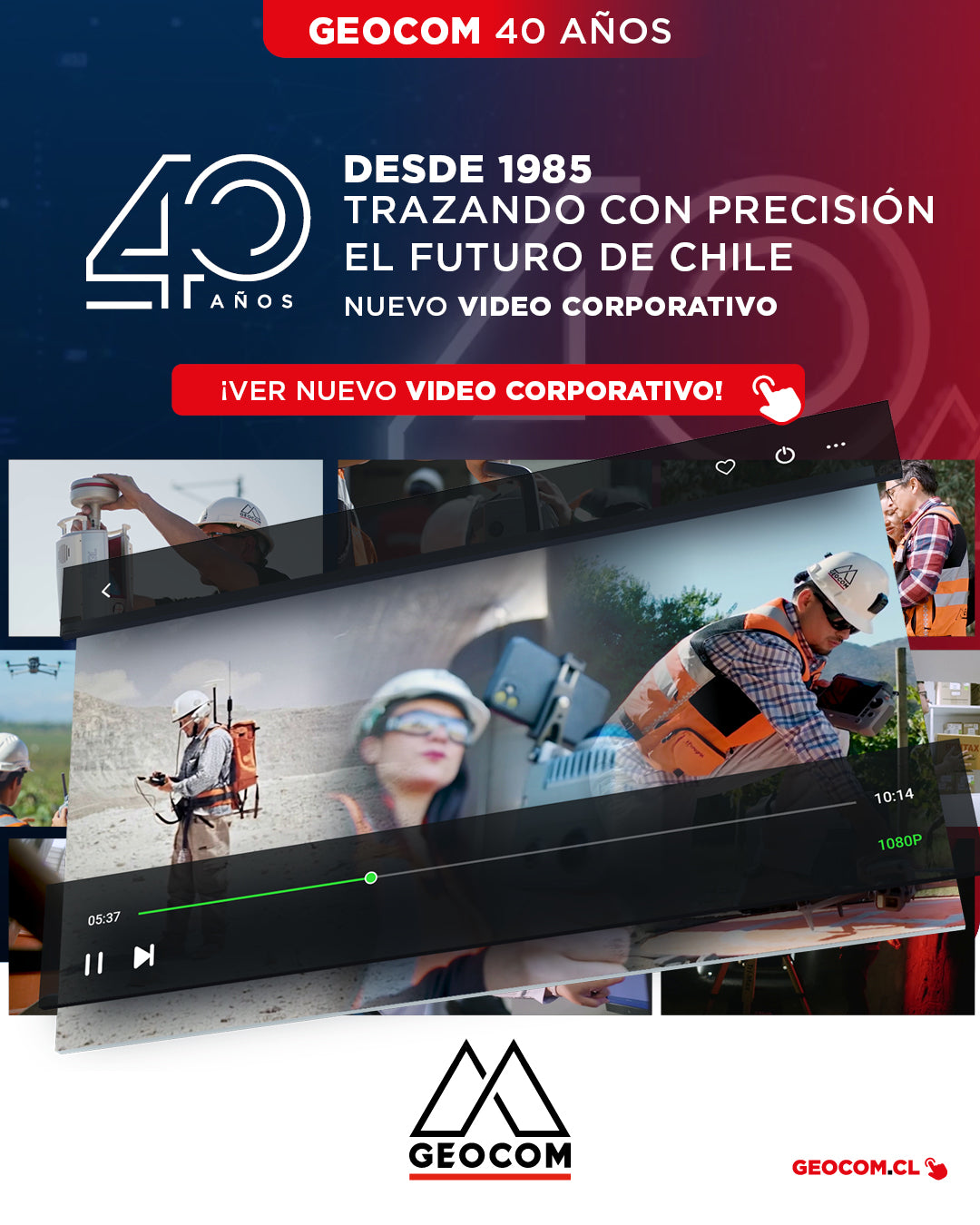
New Corporate Video | Geocom: 40 Years Precisely Tracing the Future of Chile
CHECK OUT THE VIDEO!
We are very excited to officially share our new corporate video "40 Years Accurately Charting the Future of Chile", a production that celebrates the legacy of the pioneering company in the Chilean geospatial market.
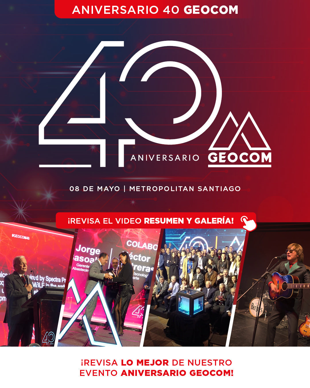
Last Thursday, May 8, GEOCOM celebrated its 40th anniversary with a special ceremony held at Metropolitan Santiago, an event that brought together the key players who have been fundamental to our history since 1985.
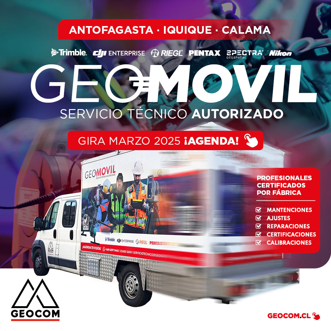
New GeoMóvil Geocom tour - March 2025
During March we will be visiting the cities of:
📍 Antofagasta | 📍 Calama | 📍 Iquique
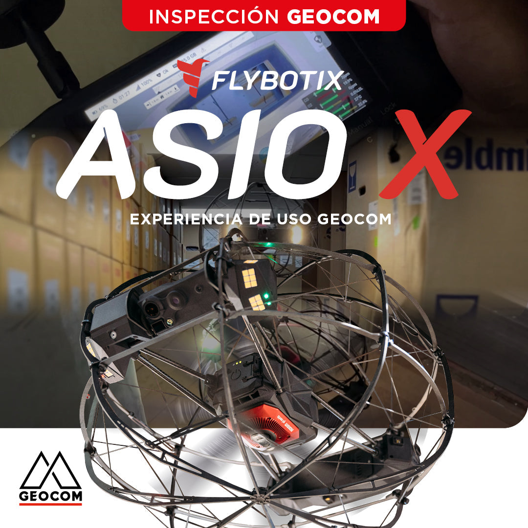
Flybotix ASIO X: GEOCOM User Experience
GEOCOM strengthens its commitment to technological innovation by welcoming Alejandro Quidiello, Flybotix Test and Quality Engineer, to its facilities. Quidiello provided comprehensive training on the ASIO X inspection drone system.
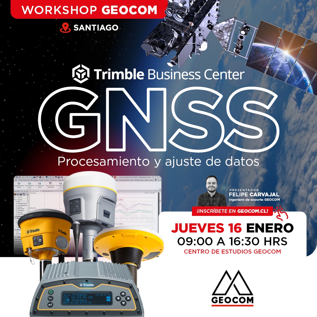
Santiago Workshop | GNSS Data Processing and Adjustment in TBC
THURSDAY, JANUARY 16 | 09:00 AM TO 04:30 PM | GEOCOM STUDY CENTER
In this workshop, we will present different examples developed with TBC (Trimble Business Center) tools to optimize the process of GNSS network design, processing, adjustment, and deliverables.
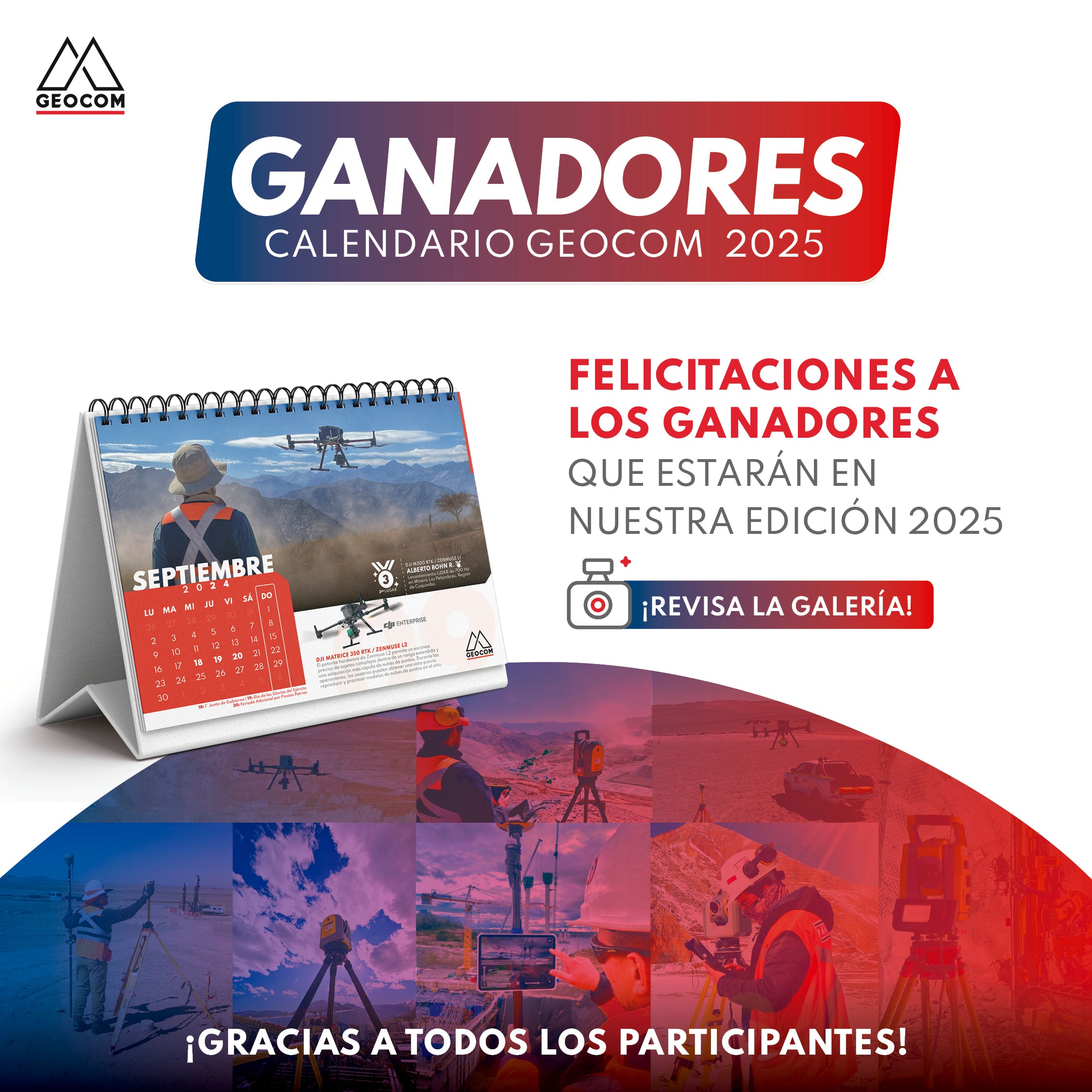
Geocom 2025 Calendar Contest Winners!
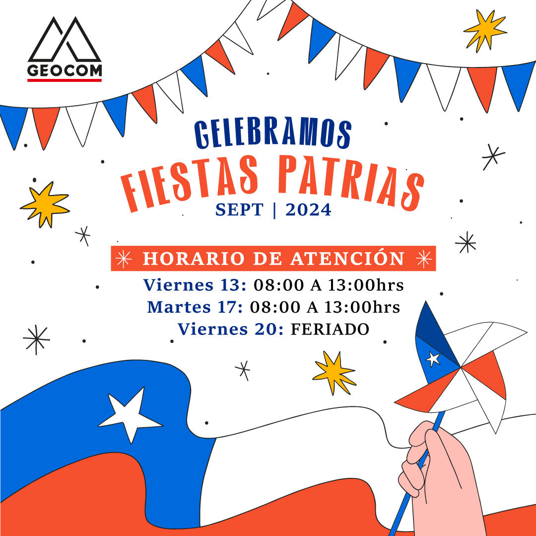
Dear clients and partners, Due to the celebration of the Fiestas Patrias, we would like to inform you about our special operating hours during the week of September 16 to 20, 2024.
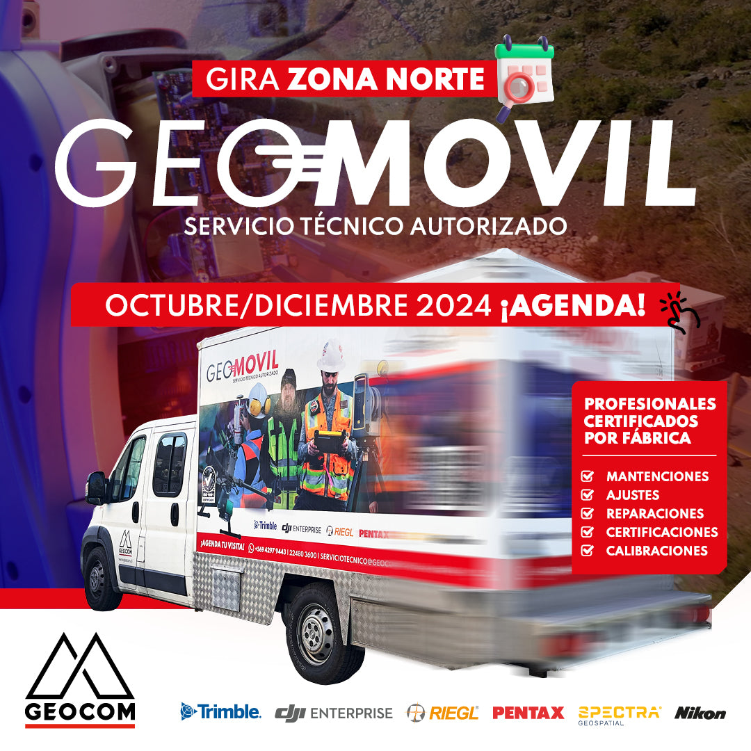
GEOMÓVIL GEOCOM | NEW TOUR OCTOBER - DECEMBER 2024
We are pleased to announce our new tour to the north of the country with our authorized on-site technical service. During the months of October and December, we will be visiting the cities of: 📍 Antofagasta, 📍 Calama, 📍 Iquique and 📍 Copiapó
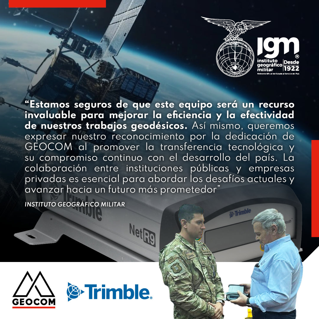
Military Geographic Institute receives GNSS reference station
During the last quarter of 2023, GEOCOM reaffirmed its commitment to the development of geodesy in the country by donating a Trimble NetR9 GNSS reference station to the Military Geographic Institute, which will be integrated into the National Geodetic Network to contribute to the various projects undertaken by this institution throughout the country.
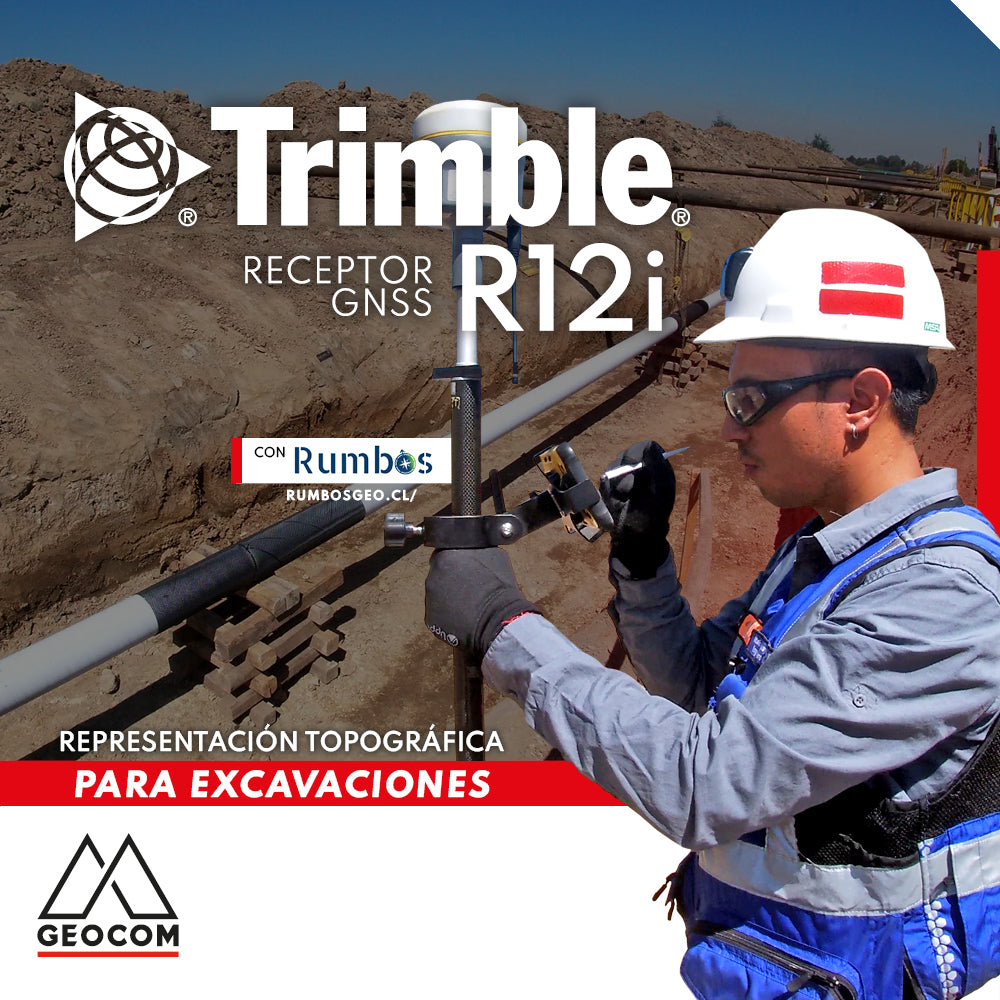
Topographic Representation for Excavations | Trimble R12i
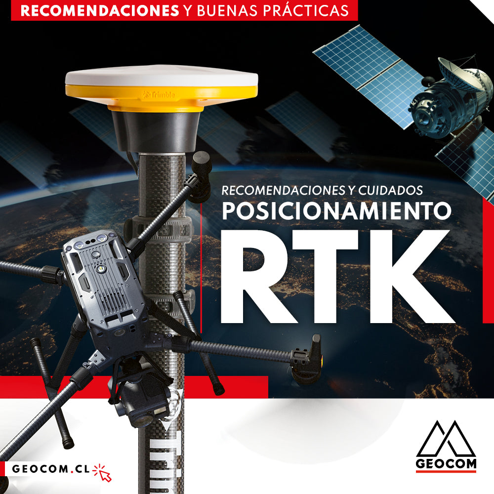
RTK Positioning: Recommendations and Care
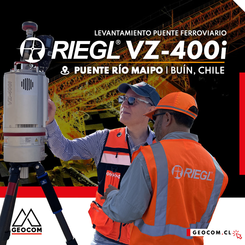
LiDAR RIEGL | Railway Bridge Survey
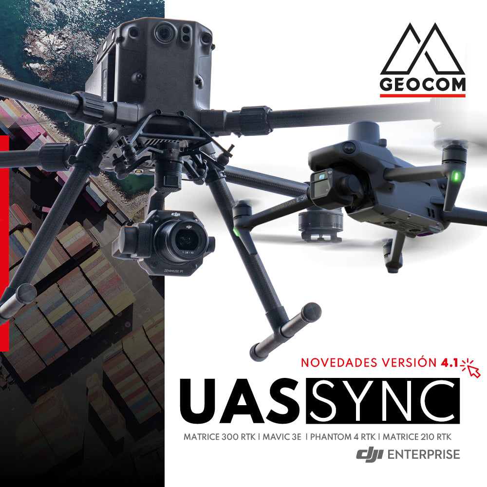
News new version 4.1 UAS Sync Geocom