

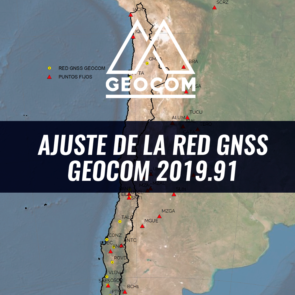
GEOCOM GNSS Network Adjustment 2019.91
The GEOCOM GNSS Network is a satellite positioning initiative that provides support infrastructure for Trimble receivers that observe code and phase in post-processing and real-time applications.
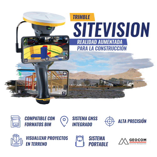
Trimble SiteVision | Augmented reality for construction
Sitevision is a portable, high-precision Augmented Reality system for construction that allows users to visualize projects on-site and bring them to life thanks to the high precision of its integrated GNSS system.
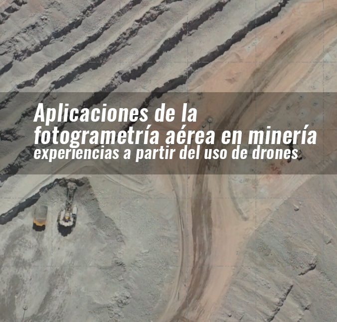
APPLICATIONS OF AERIAL PHOTOGRAMMETRY IN MINING: EXPERIENCES FROM THE USE OF DRONES
Photogrammetry is a reliable measurement and interpretation technique using photographs. In mining, photogrammetry has enabled the massive three-dimensional representation of open pits, as well as industrial plants and facilities for a variety of purposes.