News

Experiencia robótica en labores subterráneas con Trimble SX10

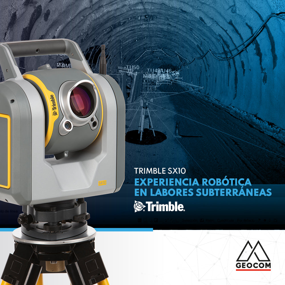
Robotic experience in underground work with Trimble SX10

The use of robotics in underground work combined with cyclical observations in a trisection to orient the equipment, allows us to apply techniques for an accurate result.

Read more

Conoce las últimas novedades de eMotion 3.20

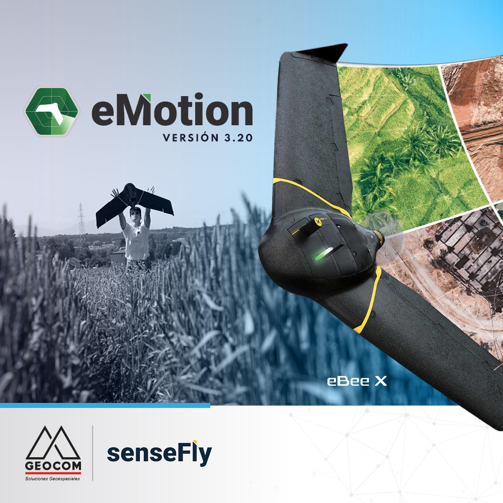
Learn about the latest eMotion 3.20 features

eMotion is the advanced, reliable, and intuitive multi-platform that supports our eBee X from flight planning to PPK trajectory processing.

Read more

Software RiscanPro – Control mediante herramienta comparación de superficies

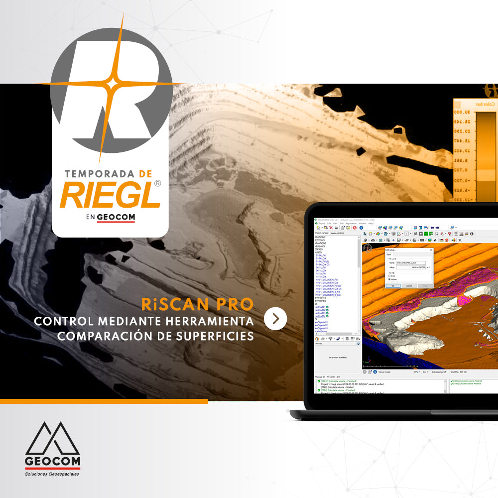
RiscanPro Software – Surface comparison tool control

Geospatial control is a very important task for reviewing the operational progress of a work area, as is comparing the current topography with respect to a design surface.

Read more

AJUSTE LIBRE EN TRIMBLE BUSINESS CENTER

FREE ADJUSTMENT IN TRIMBLE BUSINESS CENTER

Trimble Business Center incorporates free adjustment of geodetic networks using the inner constraints approach, which allows the network to be evaluated by its internal geometry (observations)...

Read more

RIEGL - Sistema de Escaneo Móvil Terrestre

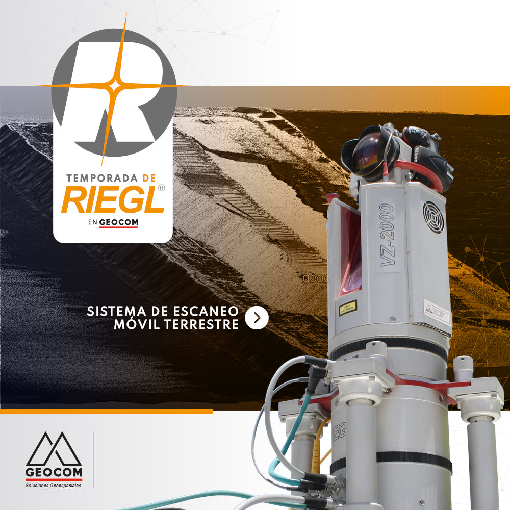
RIEGL - Terrestrial Mobile Scanning System

The Terrestrial Mobile Scanning Systems presented by RIEGL allow the capture of massive geospatial data with high accuracy from zones or areas of interest.

Read more

DJI M300 RTK + Zenmuse P1: Aumenta la precisión en tus levantamientos

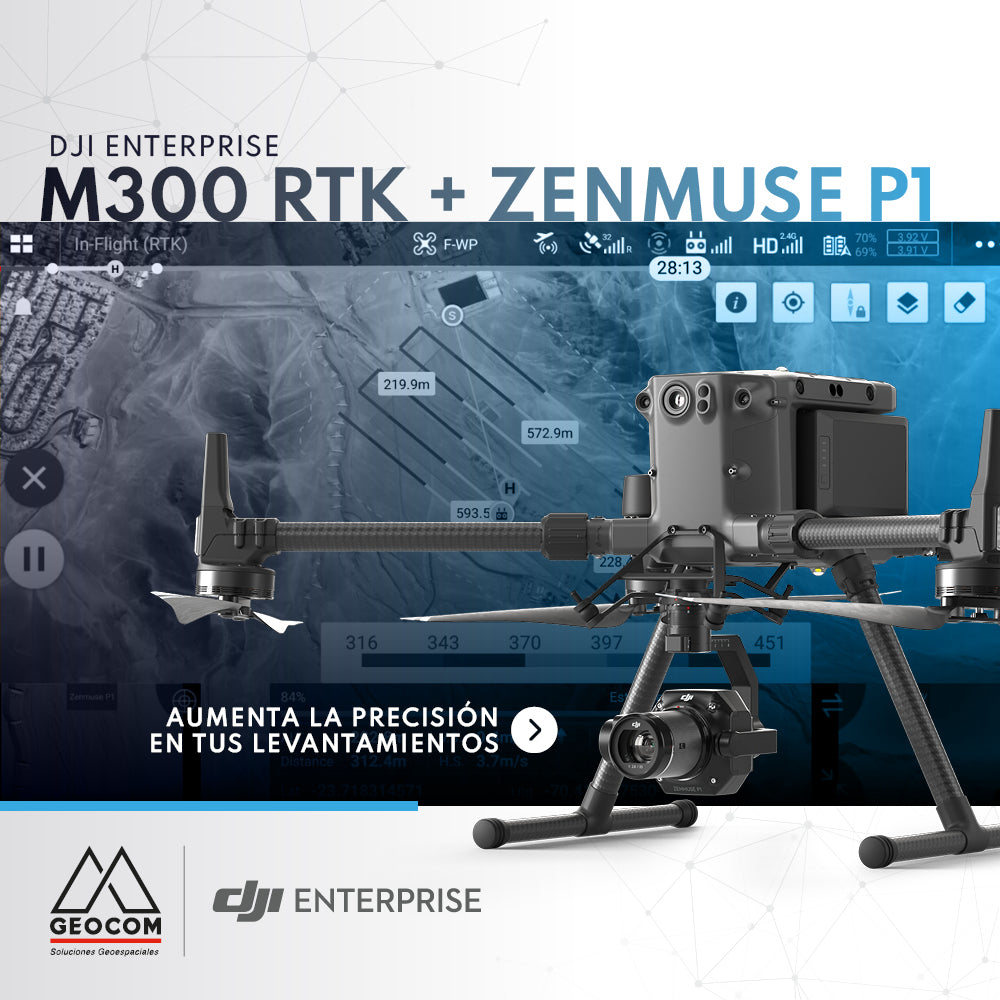
DJI M300 RTK + Zenmuse P1: Increase Accuracy in Your Surveys

The new M300 RTK + Zenmuse P1 geospatial solution allows us to survey areas with terrain following like never before.

Read more

Puntería automática en estaciones totales Trimble

Trimble Total Stations Auto-Targeting

The implementation of automatic aiming technologies in Trimble total stations aims to increase the productivity and automation of land observations.

Read more

Vuela tu senseFly eBee X con seguimiento al terreno personalizado

Fly your senseFly eBee X with custom terrain following

Flying with terrain following makes it easier to obtain high-quality photogrammetric products, since this type of survey allows you to maintain a constant pixel size.

Read more

PERFILES RÁPIDOS CON TRIMBLE BUSINESS CENTER v5.50

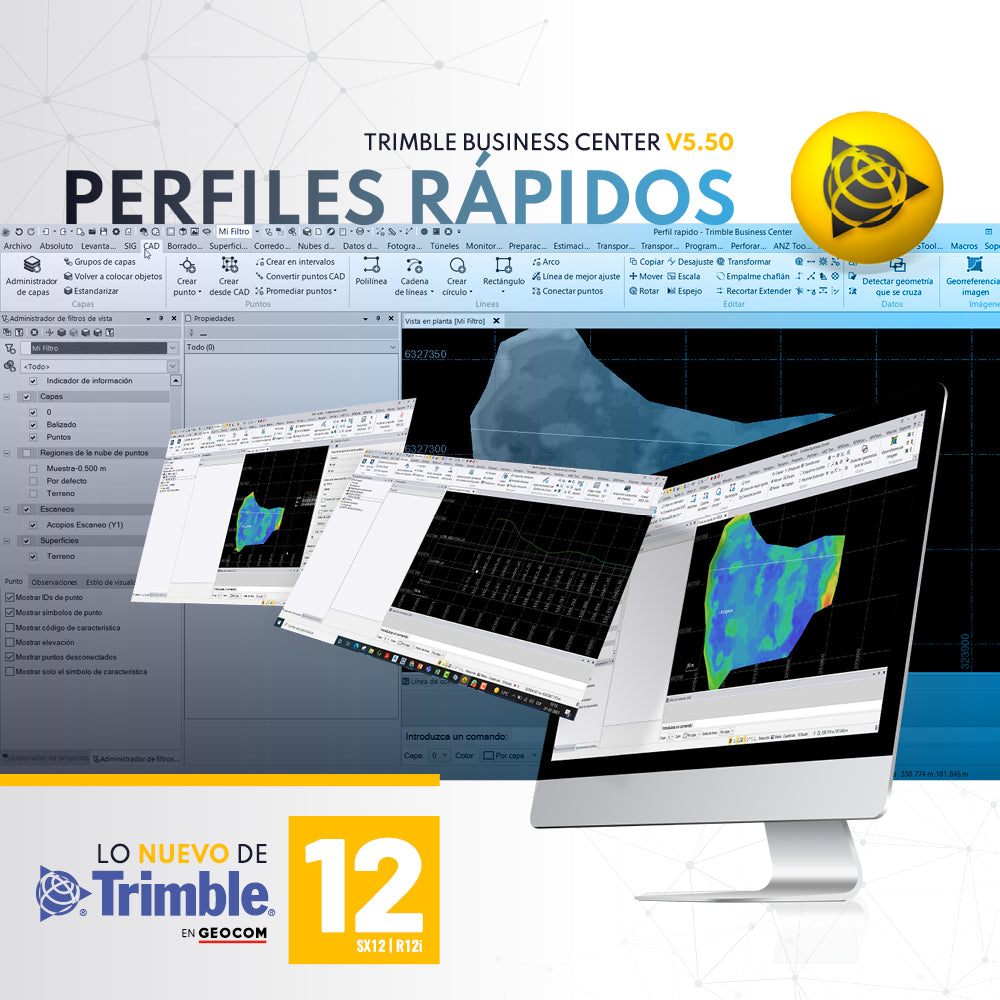
QUICK PROFILES WITH TRIMBLE BUSINESS CENTER v5.50

A required tool in any software associated with topography is the ability to generate quick profiles that are exportable, informative, or necessary for creating reports or plans.

Read more

DJI Zenmuse P1, la cámara más avanzada para fotogrametría con drones

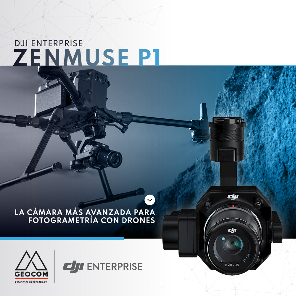
DJI Zenmuse P1, the most advanced drone photogrammetry camera

Due to its full-frame sensor and 45 MP resolution, the Zenmuse P1 is the camera that delivers the best results when performing a photogrammetric survey with commercial drones.

Read more

Topografía integrada

Integrated topography

Integrated surveying is a methodology that combines satellite observation from Trimble R12i with terrestrial observation from SX12 in a common free station, which offers great flexibility when setting up the scanning total station.

Read more

SCANTECH KSCAN20 | INGENIERÍA INVERSA EN GEOMAGIC DESIGN X

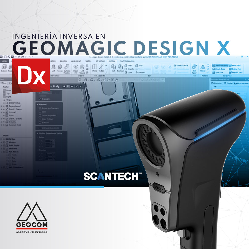
SCANTECH KSCAN20 | REVERSE ENGINEERING IN GEOMAGIC DESIGN X

Reverse engineering is the most efficient and effective way to generate a faithful digital equivalent of a scanned item.

Read more

Configuración de sitio local de Trimble Business Center (TBC)

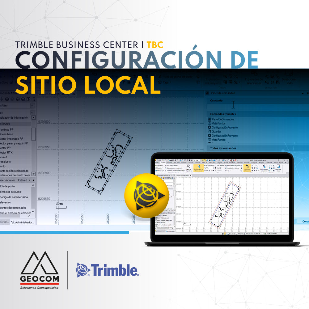
Trimble Business Center (TBC) Local Site Settings

Trimble Business Center (TBC) local site setup provides the user with the ground scale factor for the calculation and display of ground distances.

Read more

Solución de monitoreo con estación total | Trimble S9 HP y Trimble 4D Control

Monitoring solution with total station | Trimble S9 HP and Trimble 4D Control

If you are looking to automate precise total station observations for monitoring projects, we recommend the Trimble S9 HP + Trimble 4D Control (T4D) solution.

Read more

KScan20 | Sistema de Fotogrametría integrado

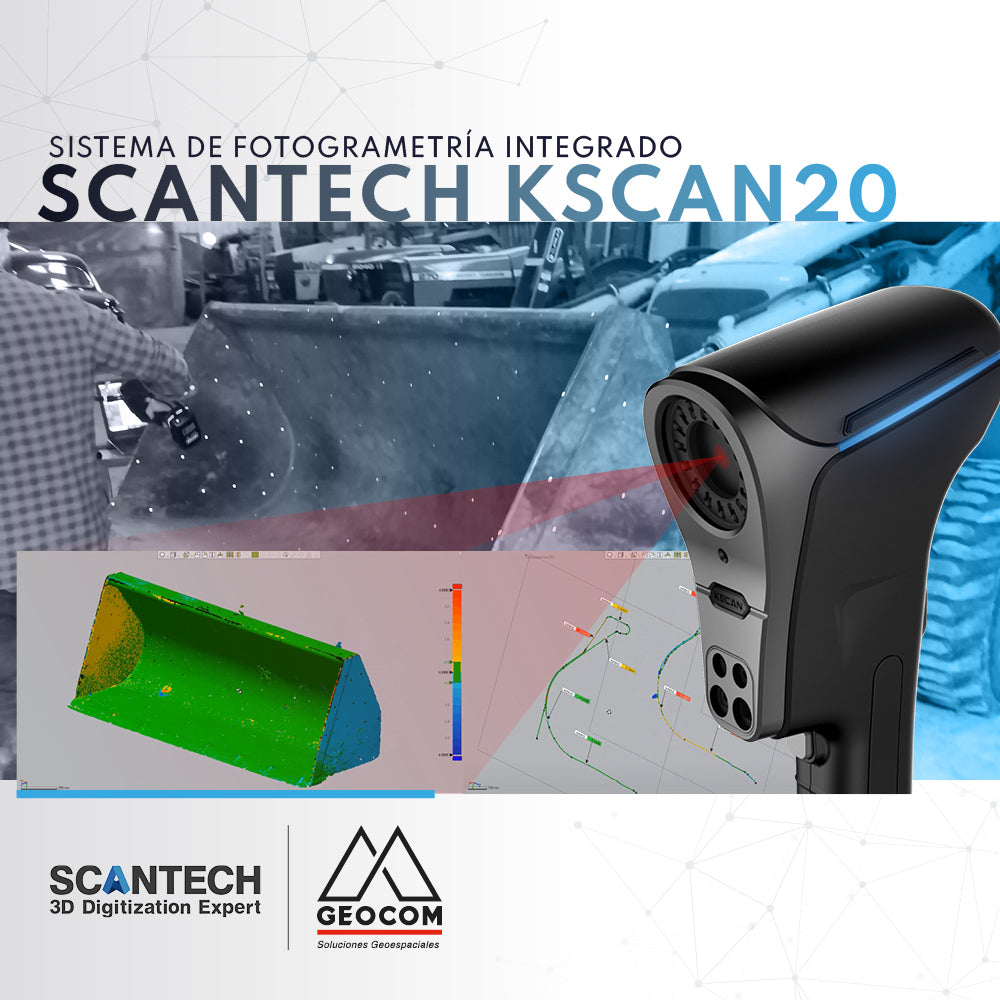
KScan20 | Integrated Photogrammetry System

Kscan20 has an integrated photogrammetry module, which allows us to optimize and obtain better results when capturing large components.

Read more