

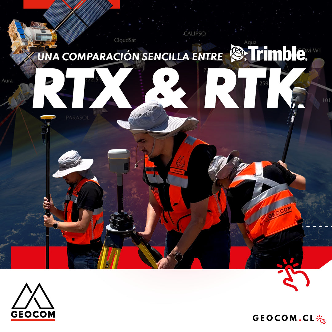
A Simple Comparison Between Trimble RTX & RTK
Trimble has delved deeper into the PPP technique through Trimble RTX, which can be used either in real-time or post-processing. Now, in terms of compatibility, the questions that arise are: Is RTX compatible with determinations made in RTK? Can RTX and RTK data coexist in the same project?
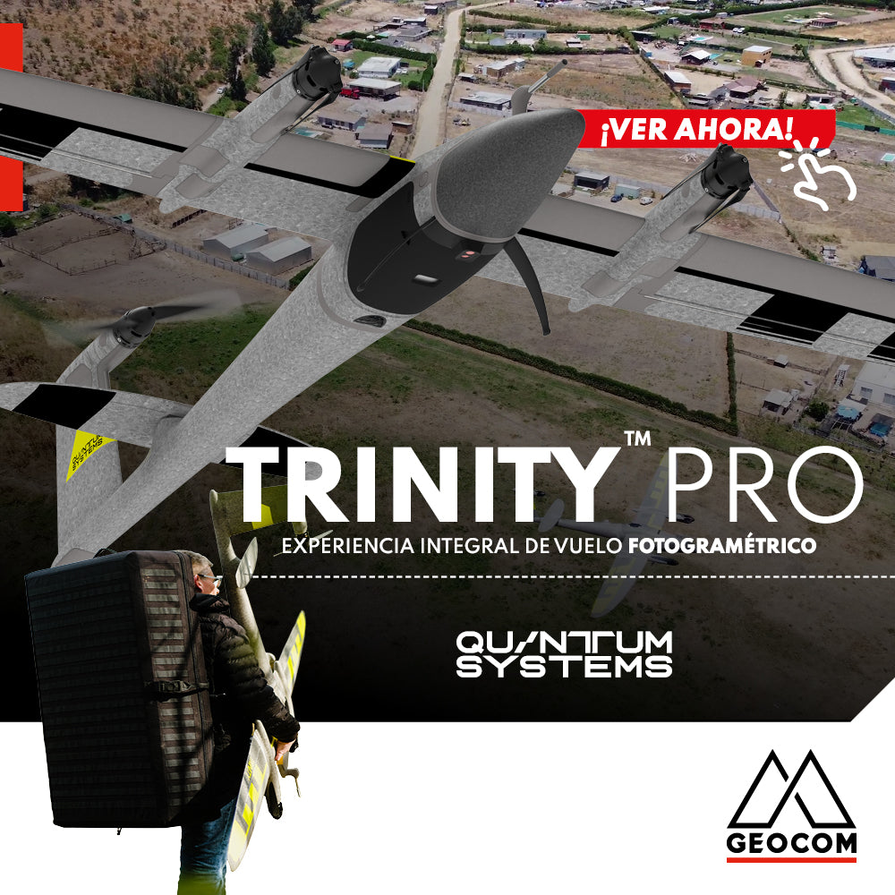
Quantum Systems Trinity Pro | Comprehensive Photogrammetric Flight Experience
In our recent mission, we completed a comprehensive photogrammetric flight experience, using cutting-edge technology to deliver high-precision, high-quality results. Here is an overview of our process ↓
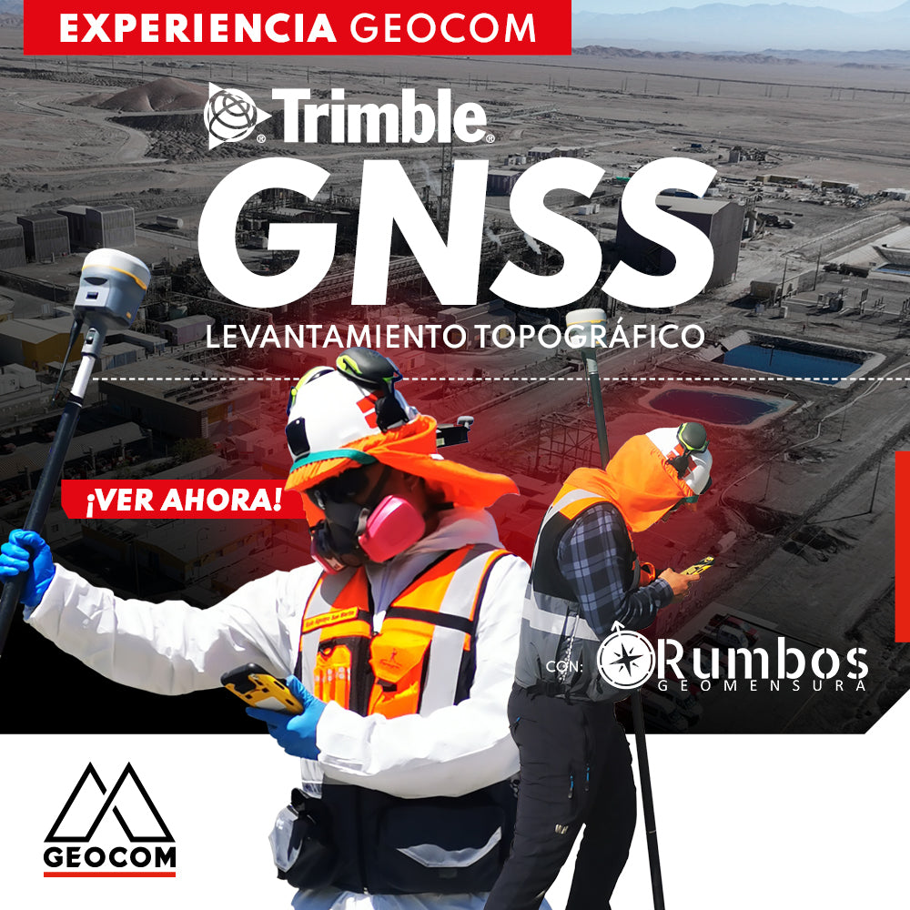
Trimble GNSS | Mine Plant Survey
GNSS in its RTK mode has become a standard for conducting topographic surveys due to its high productivity and ease of observation. Furthermore, by adding automatic drawing tools, the use of GNSS is tremendously beneficial.
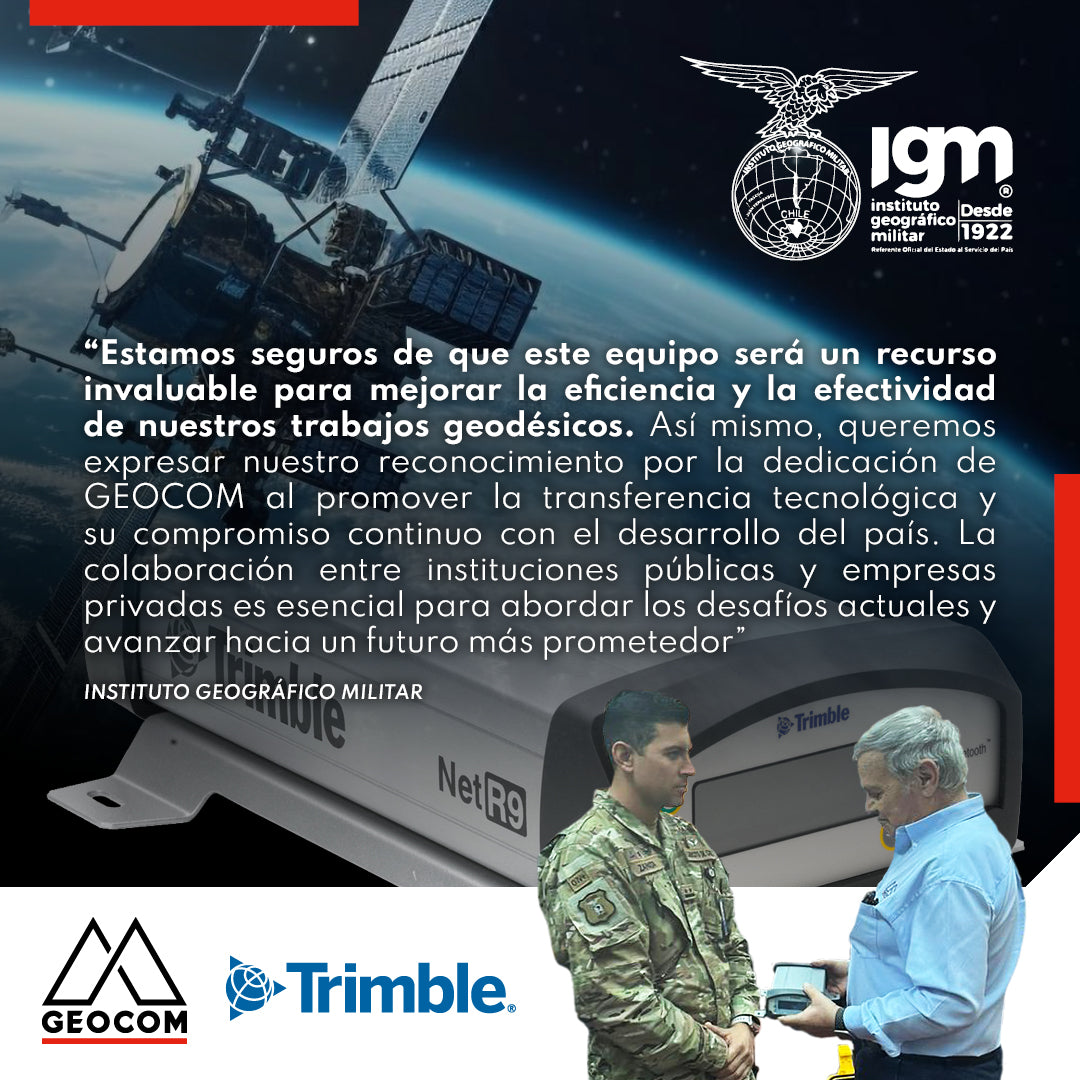
Military Geographic Institute receives GNSS reference station
During the last quarter of 2023, GEOCOM reaffirmed its commitment to the development of geodesy in the country by donating a Trimble NetR9 GNSS reference station to the Military Geographic Institute, which will be integrated into the National Geodetic Network to contribute to the various projects undertaken by this institution throughout the country.

Trimble ProPoint Engine: Next-Generation Centimeter-Level Positioning and Orientation
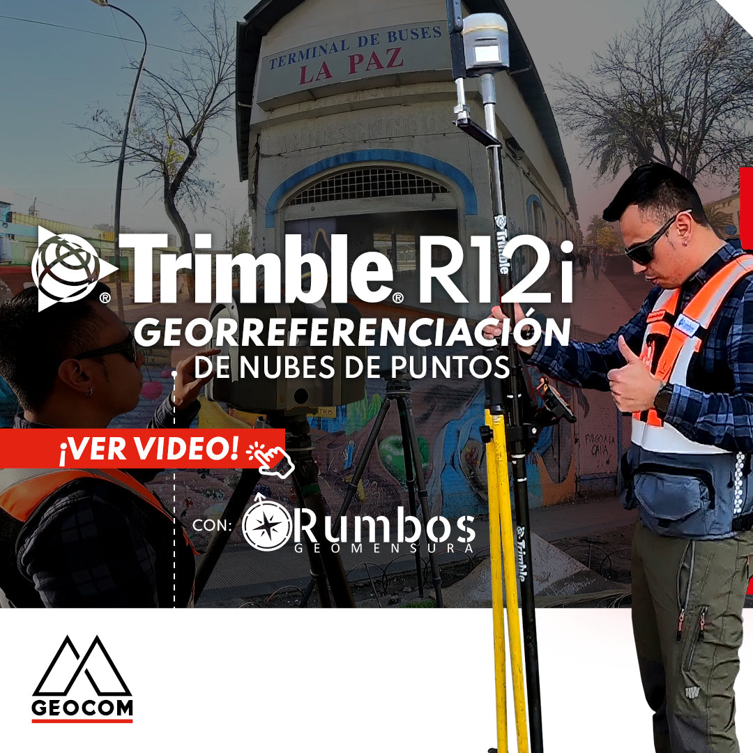
Point Cloud Georeferencing | Trimble R12i
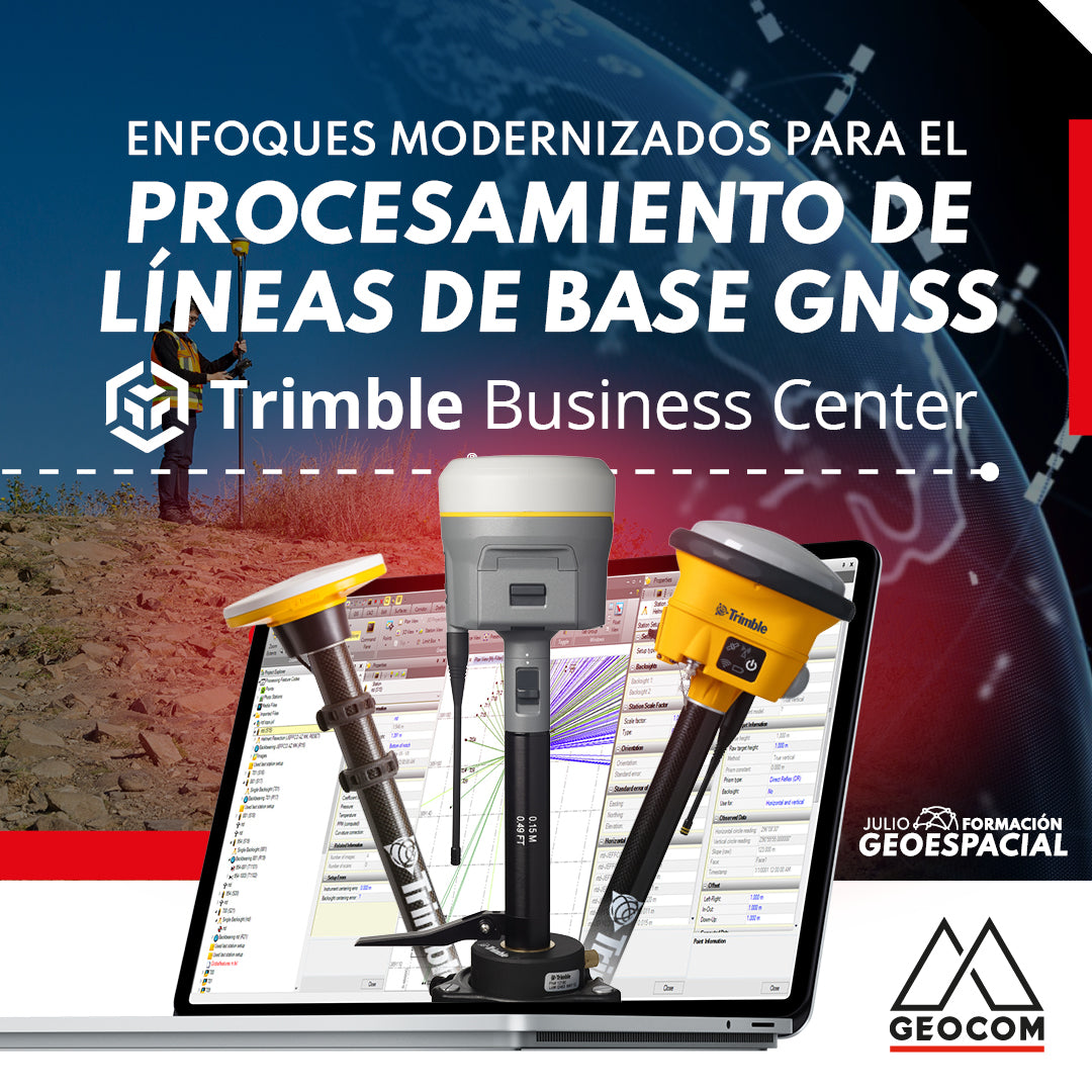
Modernized Approaches for GNSS Baseline Processing in Trimble Business Center
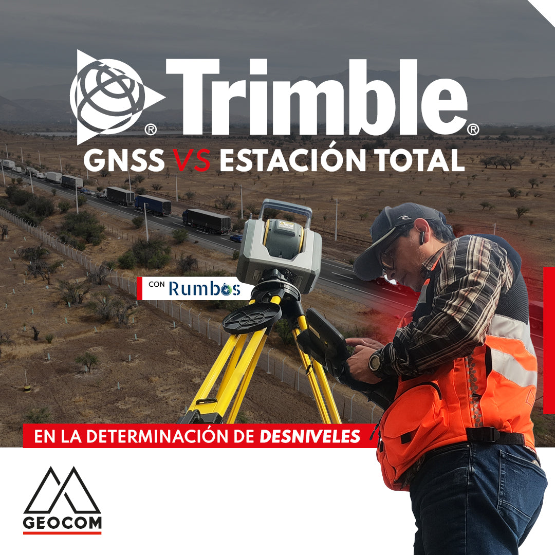
GNSS vs Total Station in determining elevation differences
To compare the determination of height differences using GNSS and total station, a 5 km itinerary is carried out, consisting of 11 materialized points spaced every 500 m, producing a total of 10 height differences, which are observed directly using GNSS and total station.
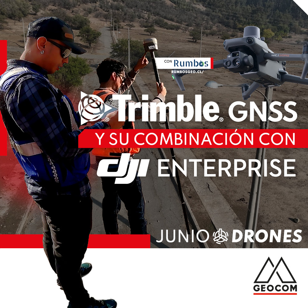
Trimble GNSS and its combination with DJI
The georeferencing of photogrammetric products is a key aspect for their use in different applications, allowing for the maintenance of a unique reference that enables robust and accurate multi-temporal analysis.
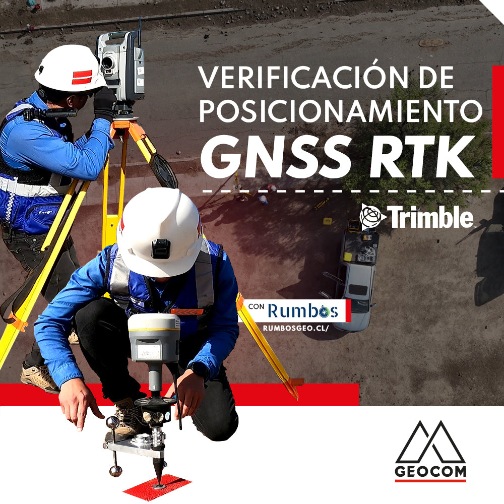
RTK GNSS positioning verification
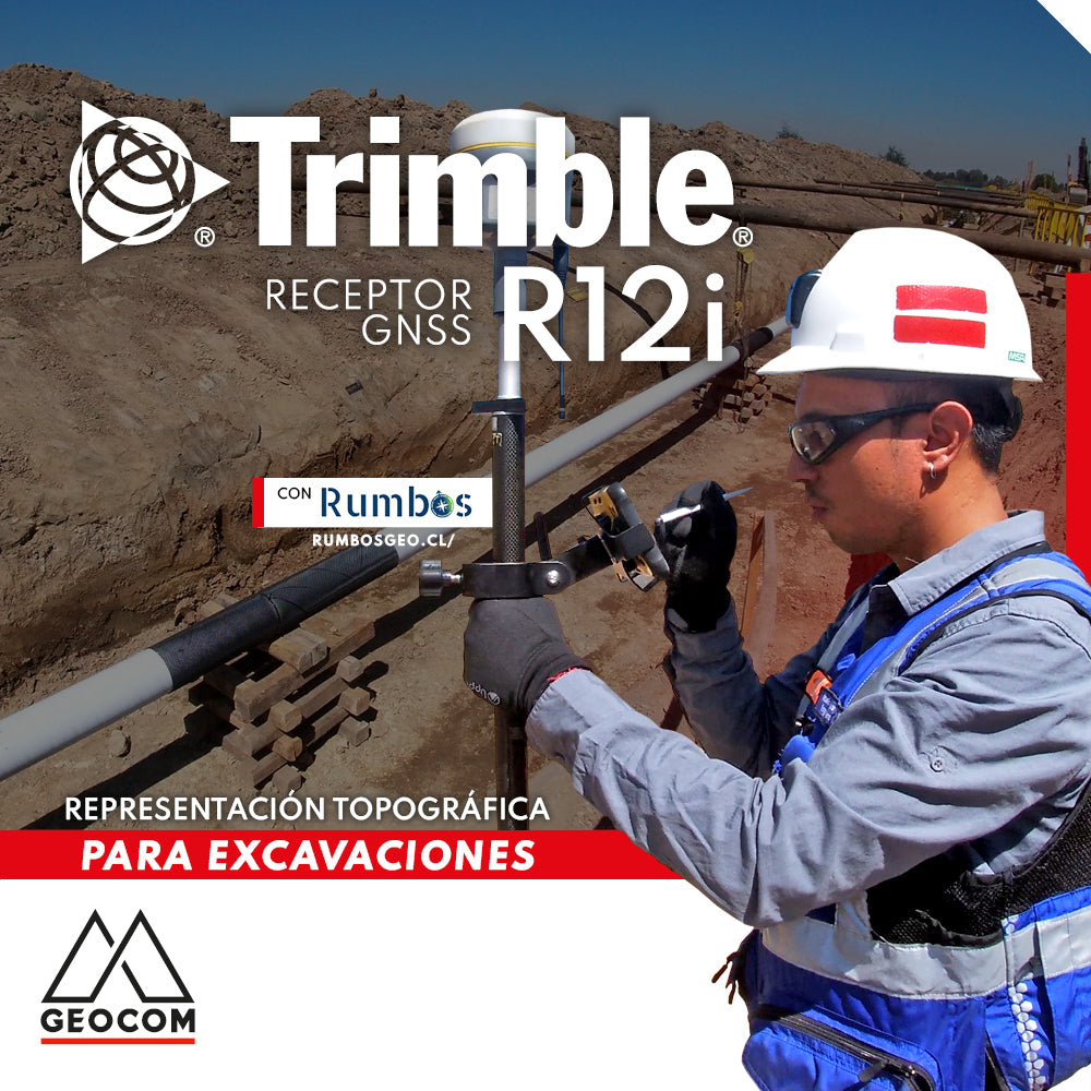
Topographic Representation for Excavations | Trimble R12i
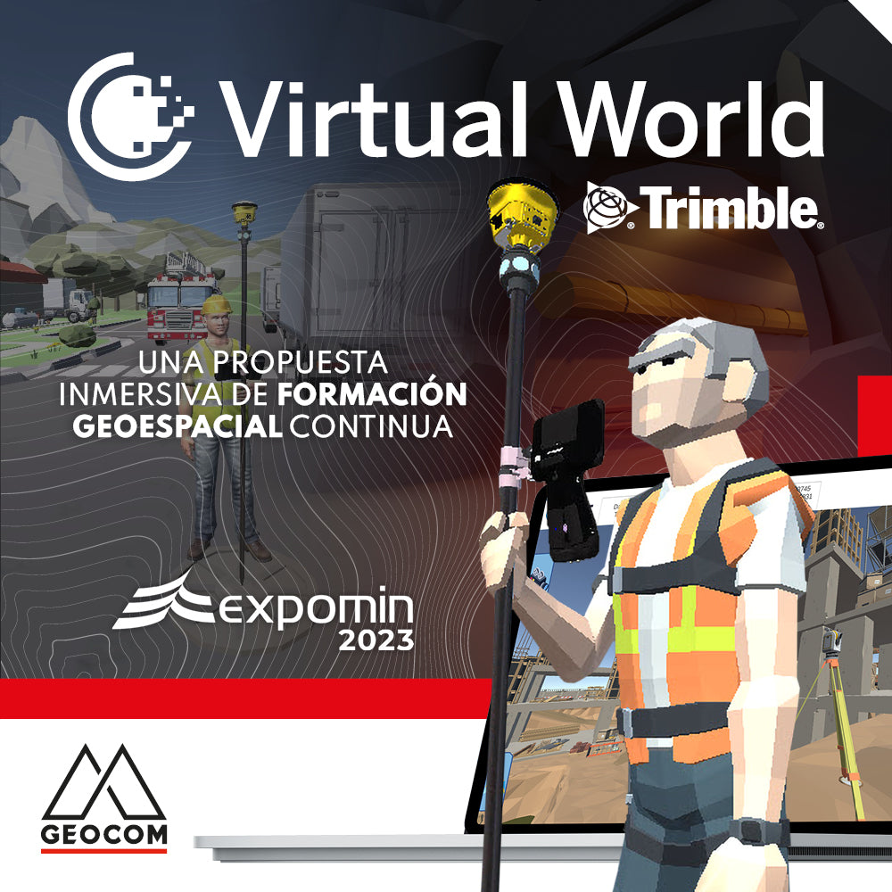
Trimble Virtual World is an efficient solution that offers comprehensive tools for training in geospatial technologies, thanks to its training tools and simulation quality
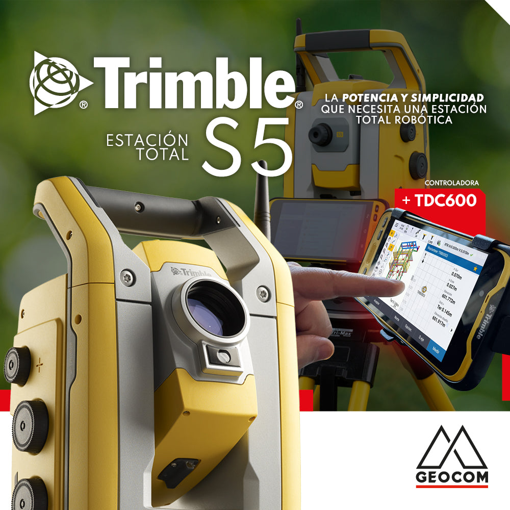
The Trimble S5 can be operated from a wide range of controllers. Among them, a good alternative is the TDC600, which can be used in different modes and is compatible with Trimble's entire S-series of total stations as well as its GNSS portfolio, or both simultaneously.
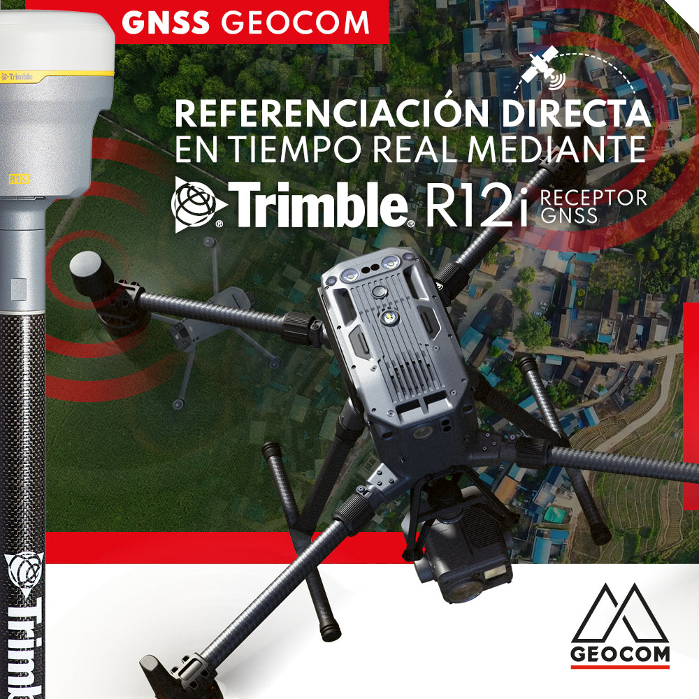
Real-time direct referencing with Trimble R12i

RTX: Over a decade of precise point positioning