


Case 5 Trimble R12i | Drone integration
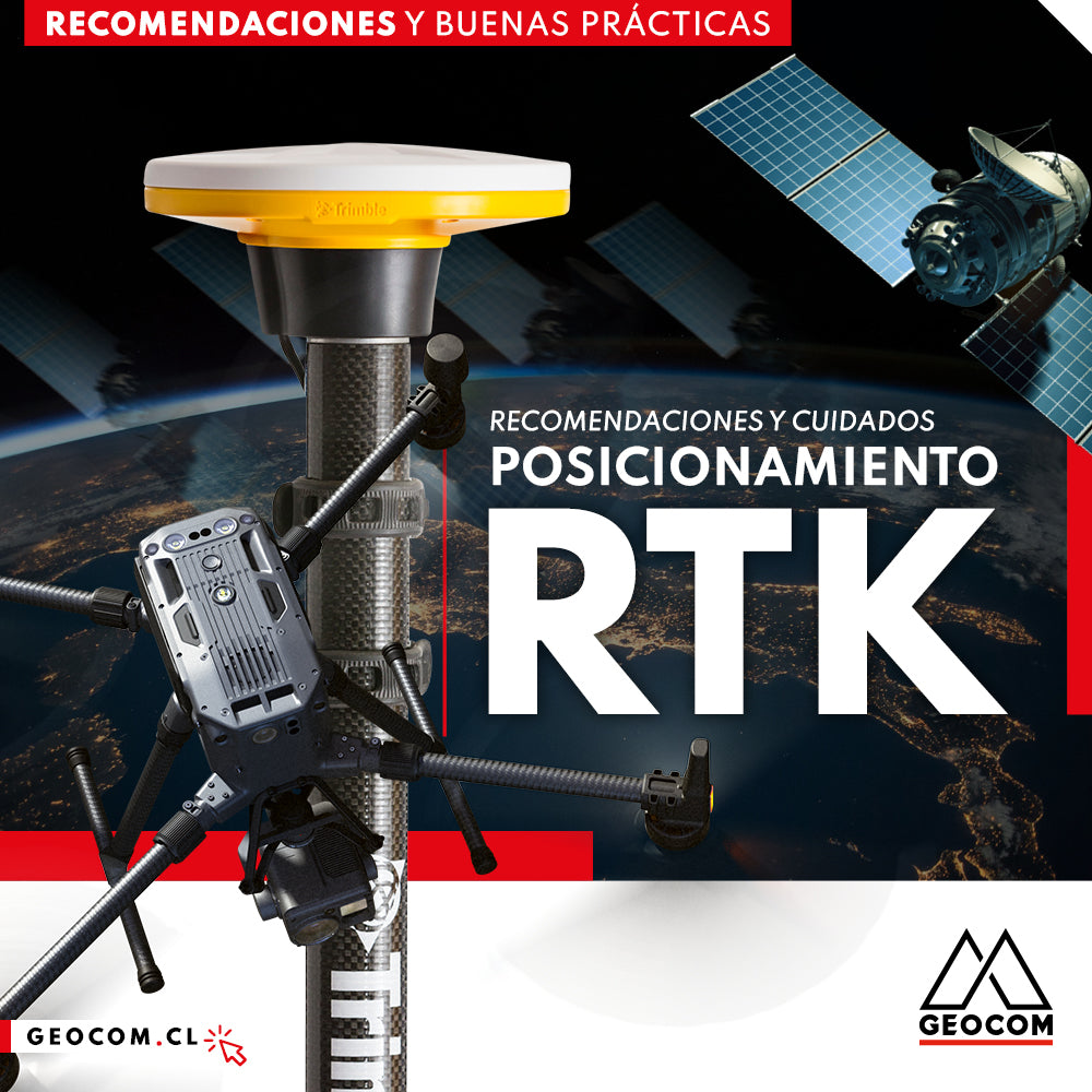
RTK Positioning: Recommendations and Care

Where to measure an instrumental height on a Trimble GNSS receiver?
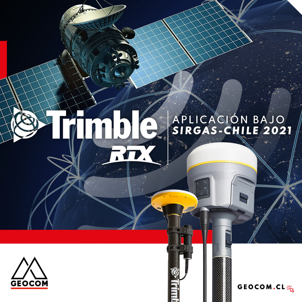
Trimble RTX application under SIRGAS-Chile 2021

GNSS positioning and the problem of projection in the use of total stations
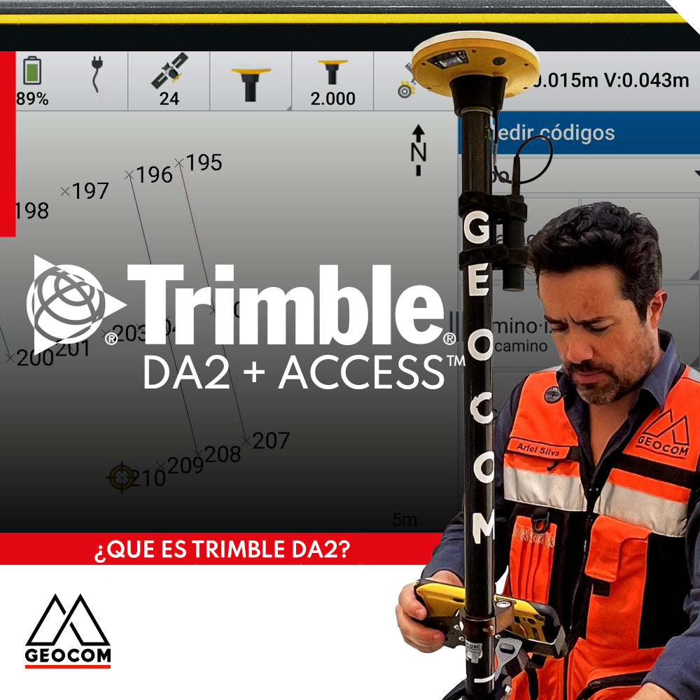
Trimble DA2 can be integrated with a variety of field software, including Trimble Access, which offers a series of advanced functionalities for surveying.

Case 4 Trimble R12i | Earthwork Cut Sheets
This activity involves some risks associated with falls at the same or different levels, which can be avoided by using R12i's tilt measurement functionality.
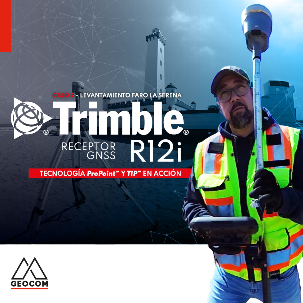
Case 2 Trimble R12i | La Serena Lighthouse Survey

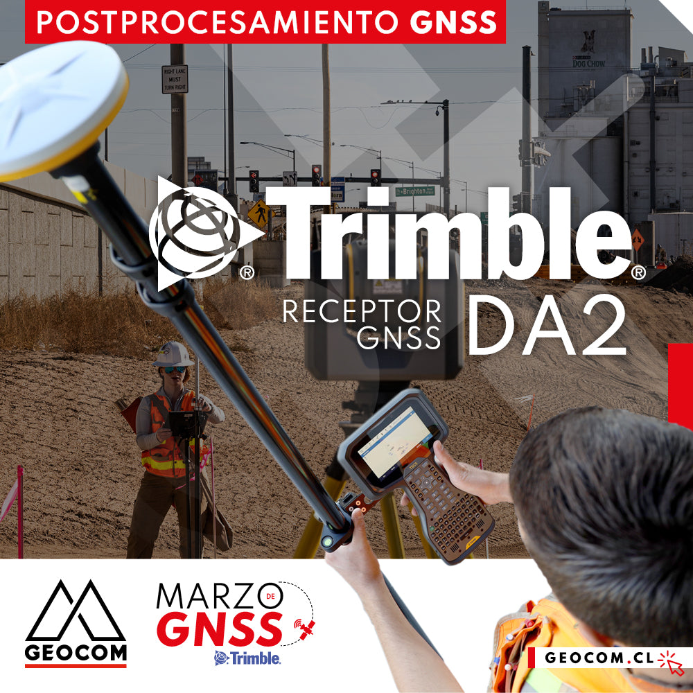
Trimble DA2 + Access™ Guaranteed Precision and Efficiency

A comparison between GNSS and Total Station

Is it necessary to configure map projections for total stations?
It is strictly necessary to configure a map projection when working with a total station, and even more so when combined with determinations made with GNSS. This applies to any map projection, even those that minimize the effect of the combined scale factor on projected distances.

Trimble R12i Experience | Case 1
Our colleague Frank Núñez demonstrates a Trimble R12i GNSS system in a very common operation, showing the gain in productivity without sacrificing precision, based on two fundamental elements of Trimble technology: ProPoint and TIP.

Topographic representation of the adduction tunnel | Part 1

Trimble R12i: Just Another GNSS Receiver with IMU?