News

Evento Lanzamiento | Trimble: Geomonitoreo integral para la minería

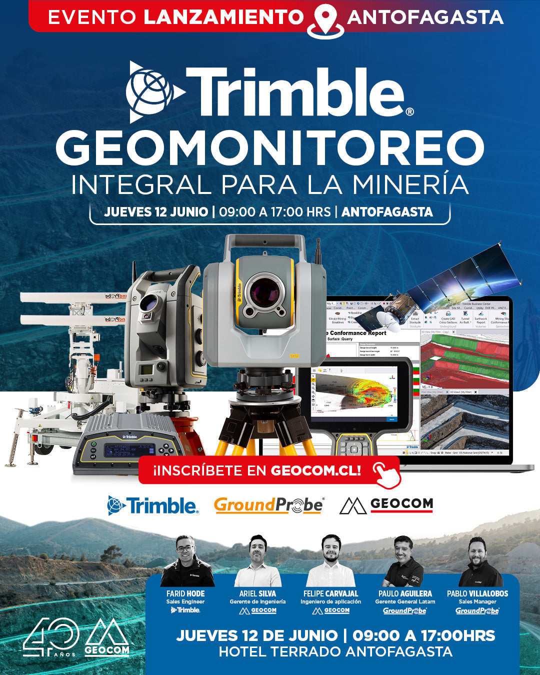
Launch Event | Trimble: Comprehensive Geomonitoring for Mining

THURSDAY, JUNE 12 | 09:00 AM TO 05:00 PM | HOTEL TERRADO ANTOFAGASTA

We invite you to learn about the new strategic alliance between Trimble and GroundProbe, which marks a new step in geotechnical and geodetic monitoring in mining.

Read more

GEOCOM: Innovación Tecnológica para la Seguridad Minera en Copiapó

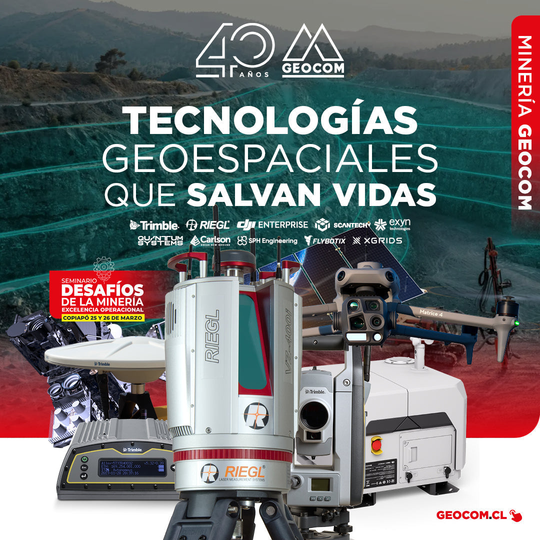
GEOCOM: Technological Innovation for Mining Safety in Copiapo

On March 22 and 23, GEOCOM actively participated in the seminar "Mining Challenges: Operational Excellence," an event organized by the Industrial Journalistic Group in the city of Copiapó.

Read more

DJI Dock 3 ofrece una solución integral de Dron Autónomo para operaciones remotas 24/7

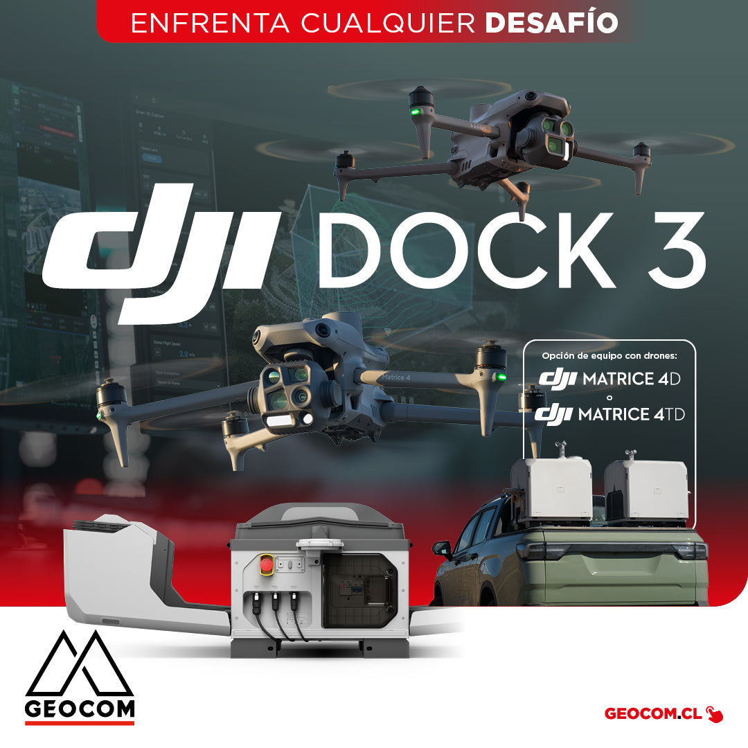
DJI Dock 3 offers a comprehensive Autonomous Drone solution for 24/7 remote operations

DJI Dock 3, the company's first Autonomous Drone solution that allows vehicle mounting, facilitating 24/7 remote operations in diverse environments.

Read more

GEOCOM recibe a ASPEMECH en entrenamiento de GNSS y Geodesia 4D

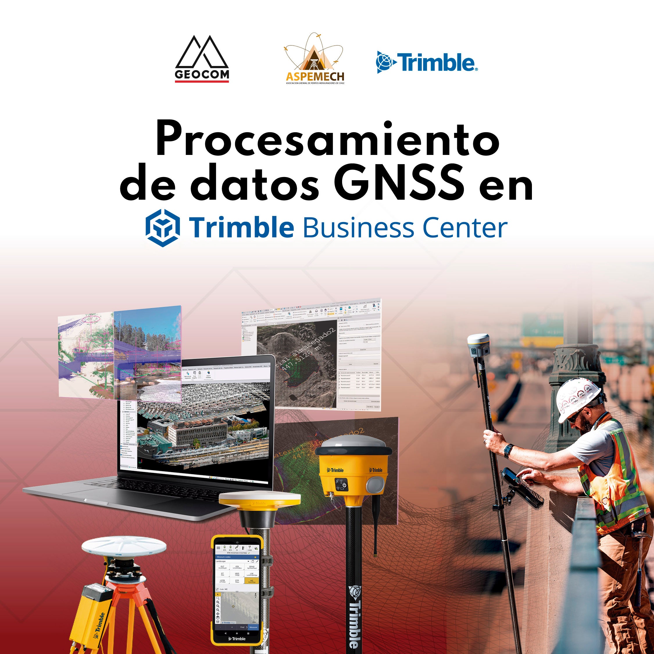
GEOCOM welcomes ASPEMECH for GNSS and 4D Geodesy training

The training allowed ASPEMECH professionals to update their knowledge in Trimble Business Center and Geodesy 4D, thereby improving their standards for meeting the challenges of mining property in Chile.

Read more

Trimble GNSS | Levantamiento topográfico de planta minera

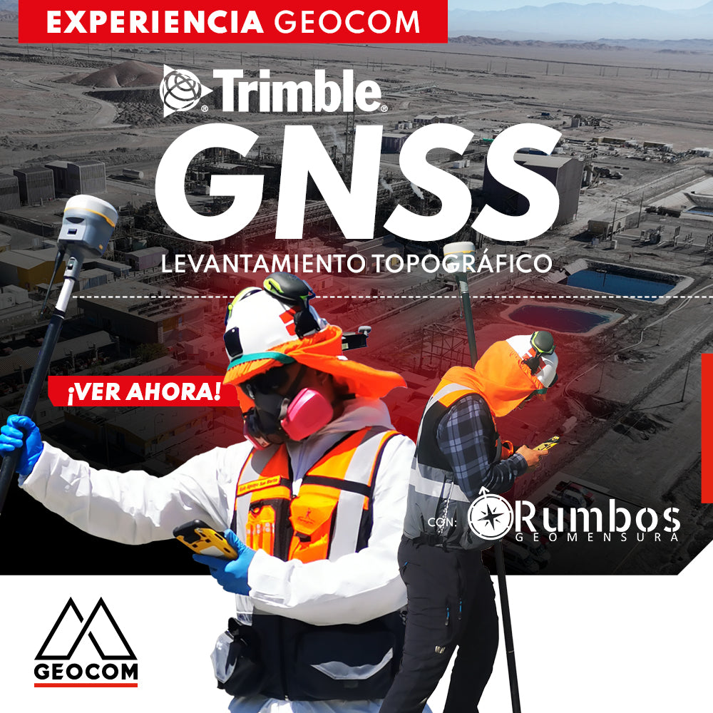
Trimble GNSS | Mine Plant Survey

GNSS in its RTK mode has become a standard for conducting topographic surveys due to its high productivity and ease of observation. Furthermore, by adding automatic drawing tools, the use of GNSS is tremendously beneficial.

Read more

ExynPak | Sistema Móvil SLAM para entornos desafiantes

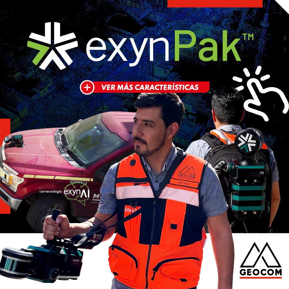
ExynPak | Mobile SLAM System for Challenging Environments

High-precision mapping system, based on SLAM technology developed by Exyn Technologies. This system is presented as a highly accurate solution for topographic representation, capable of generating 3D maps in real-time.

Read more

Estaciones totales en Geomonitoreo: Desempeño e instalaciones continuas

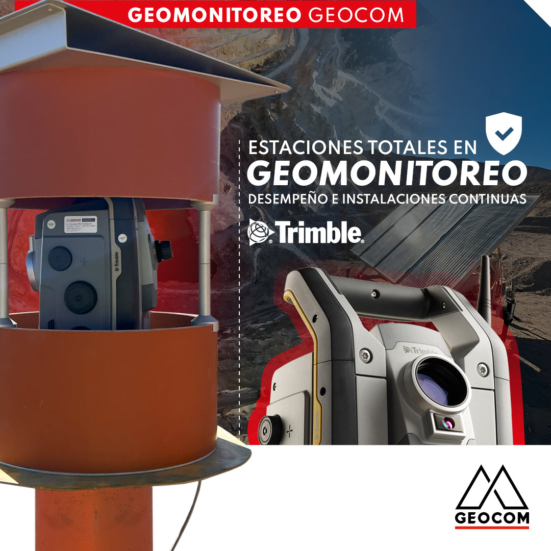
Total Stations in Geomonitoring: Performance and Continuous Installations

One of the most frequent questions when starting to work with total stations is their performance under "adverse" conditions, commonly related to temperature, humidity, and dust.

Read more

Topografía Automatizada | LiDAR RIEGL

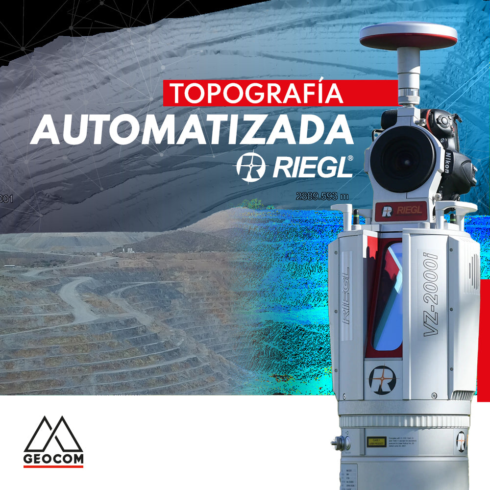
Automated Topography | RIEGL LiDAR

The importance of acquiring data remotely is a requirement established in mining projects, where knowing the topography at different periods or daily is a starting point for a series of analyses, projections, planning, and controls in the mining district.

Read more

RIEGL Sistema de escaneo móvil + TBC

RIEGL Mobile Scanning System + TBC

Geospatial capture tools are currently very diverse. One of them is the Mobile Laser Scanner (MLS), which allows for high productivity in the field.

Read more

RIEGL - Sistema de Escaneo Móvil Terrestre

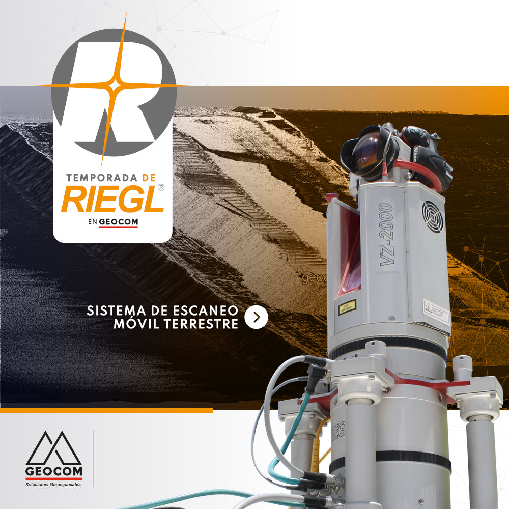
RIEGL - Terrestrial Mobile Scanning System

The Terrestrial Mobile Scanning Systems presented by RIEGL allow the capture of massive geospatial data with high accuracy from zones or areas of interest.

Read more

DJI M300 RTK + Zenmuse P1: Aumenta la precisión en tus levantamientos

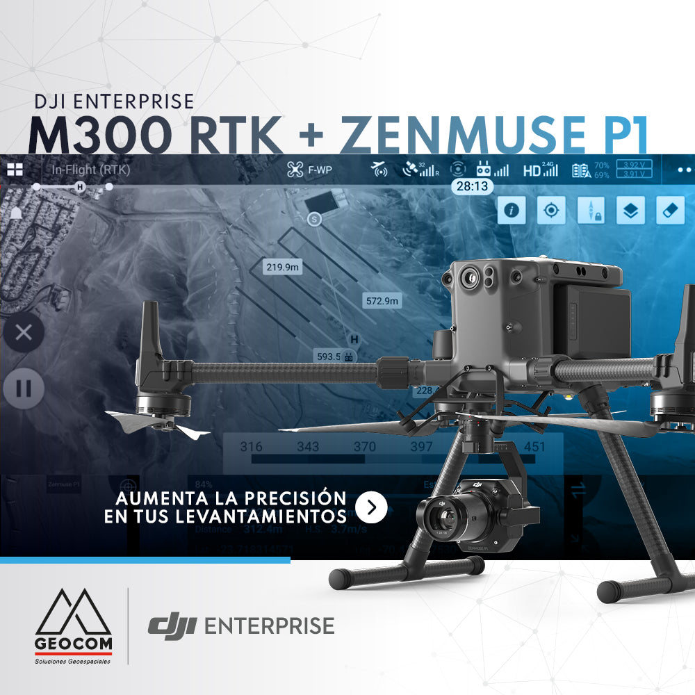
DJI M300 RTK + Zenmuse P1: Increase Accuracy in Your Surveys

The new M300 RTK + Zenmuse P1 geospatial solution allows us to survey areas with terrain following like never before.

Read more

Vuela tu senseFly eBee X con seguimiento al terreno personalizado

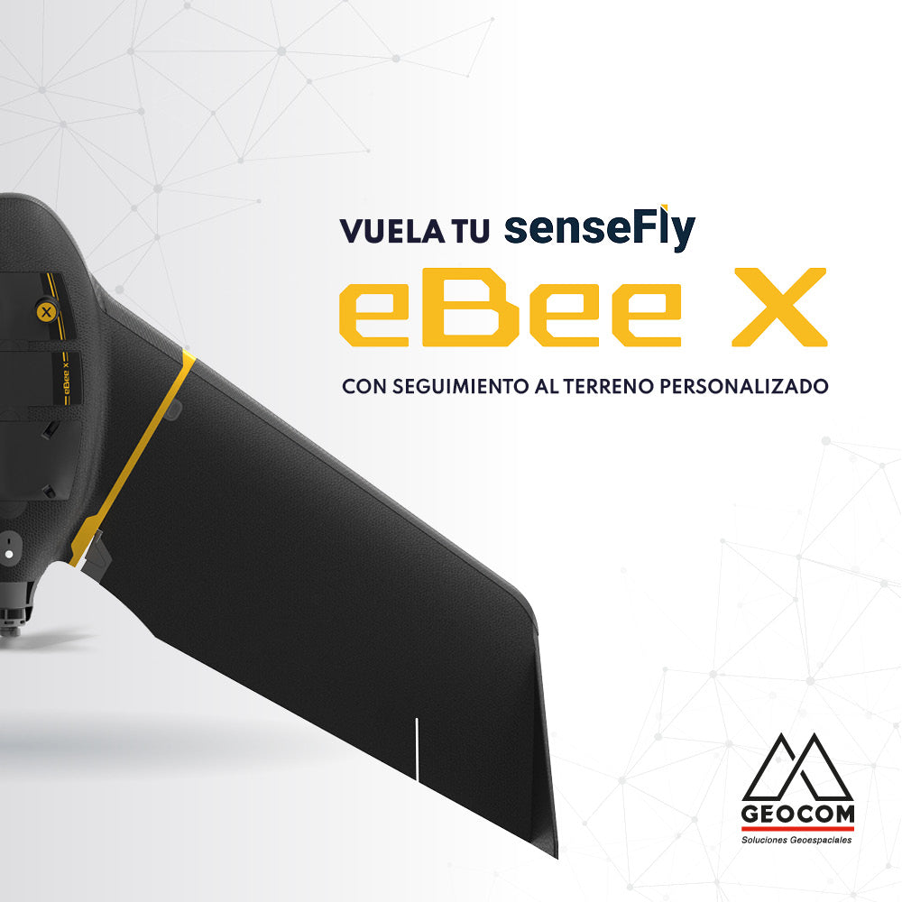
Fly your senseFly eBee X with custom terrain following

Flying with terrain following makes it easier to obtain high-quality photogrammetric products, since this type of survey allows you to maintain a constant pixel size.

Read more

PERFILES RÁPIDOS CON TRIMBLE BUSINESS CENTER v5.50

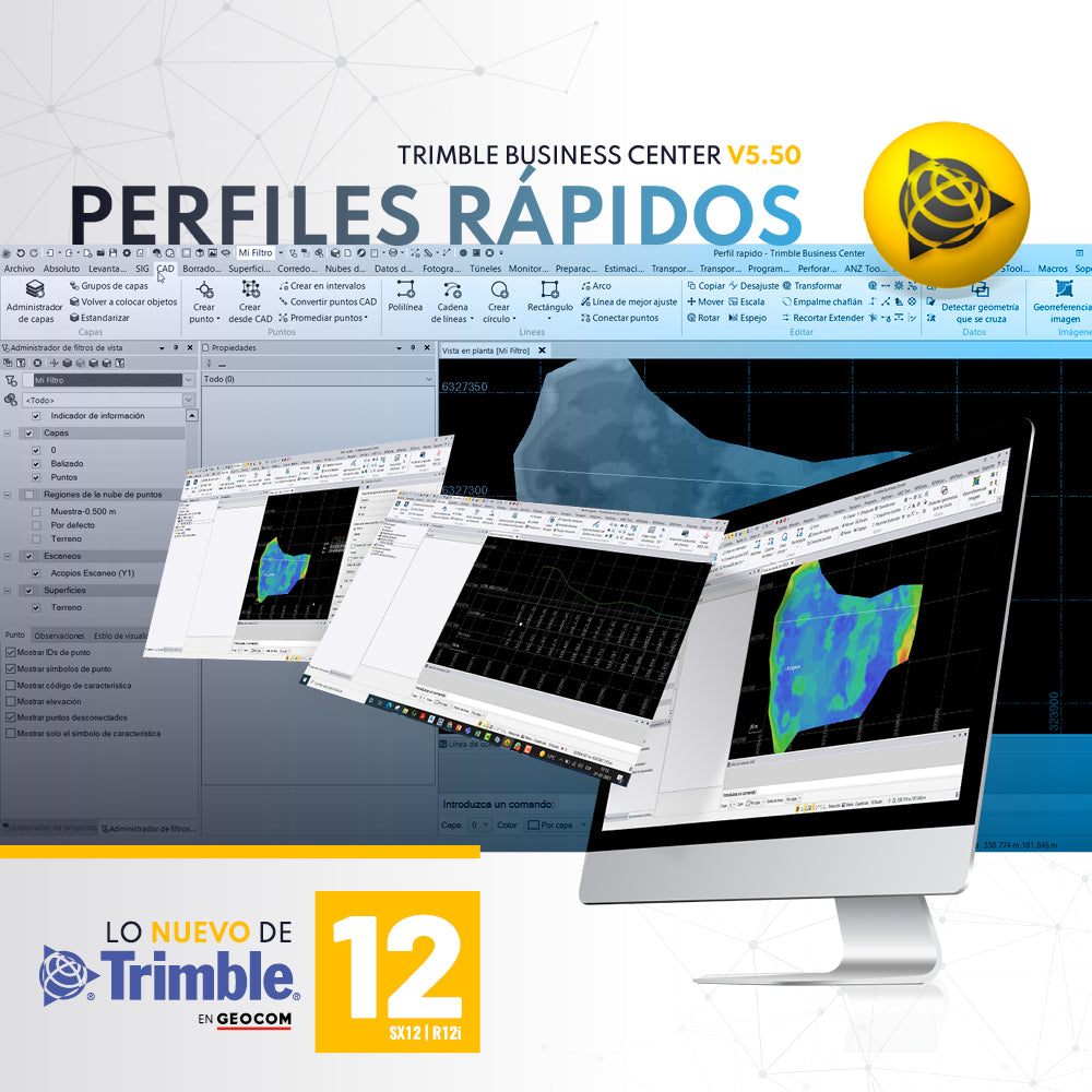
QUICK PROFILES WITH TRIMBLE BUSINESS CENTER v5.50

A required tool in any software associated with topography is the ability to generate quick profiles that are exportable, informative, or necessary for creating reports or plans.

Read more

Seafloor Hydrone | Levantamientos del fondo de relaves minero

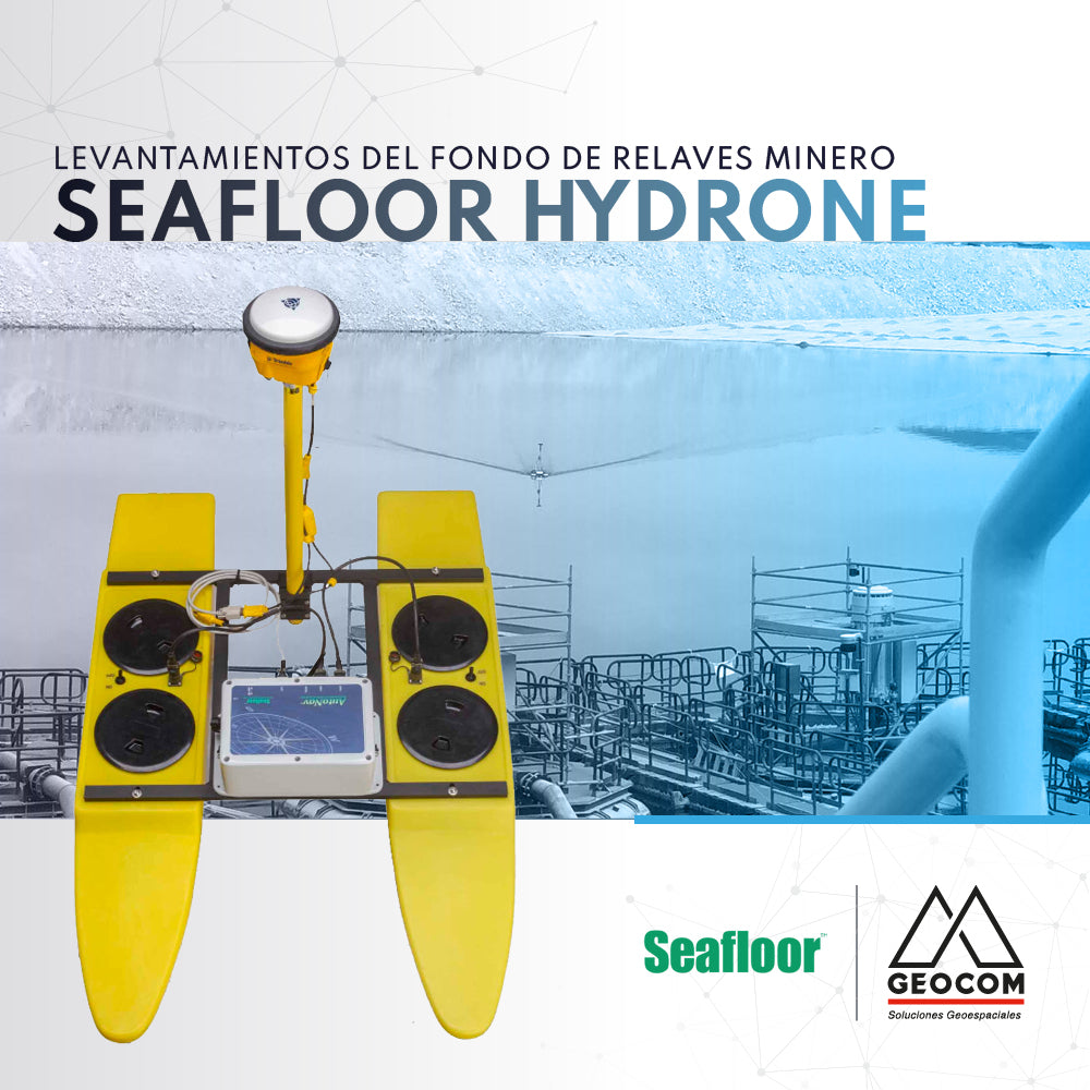
Seafloor Hydrone | Tailings Dam Floor Surveys

Seafloor's Hydrone is an autonomous catamaran-shaped system developed for hydrographic survey applications.

Read more

Solución de monitoreo con estación total | Trimble S9 HP y Trimble 4D Control

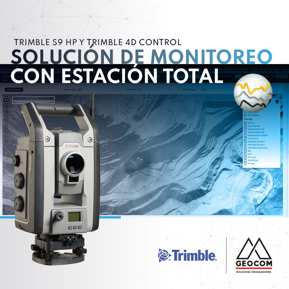
Monitoring solution with total station | Trimble S9 HP and Trimble 4D Control

If you are looking to automate precise total station observations for monitoring projects, we recommend the Trimble S9 HP + Trimble 4D Control (T4D) solution.

Read more