

![[SANTIAGO 📍 WORKSHOP] Determinación de volumen con TBC](http://www.geocom.cl/cdn/shop/articles/post_ig_WORKSHOP_determinacion_volumen_tbc.jpg?v=1750965046&width=1080)
[SANTIAGO 📍 WORKSHOP] Volume determination with TBC
THU, JUL 17 | 09:00 A 13:30 | GEOCOM
TBC offers different possibilities for this type of determination. Whether under the umbrella of surveys carried out with GNSS and/or total station or through point cloud management, TBC allows for volume determination in a variety of scenarios, providing a powerful solution for the AECO segment.
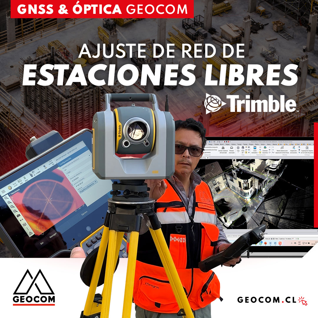
Free Station Network Adjustment
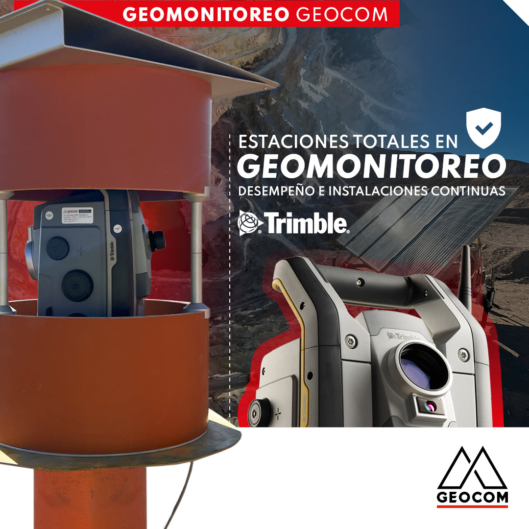
Total Stations in Geomonitoring: Performance and Continuous Installations
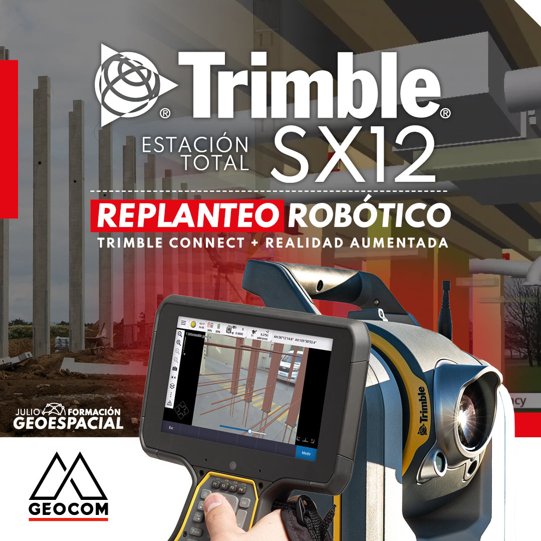
TRIMBLE SX12 ROBOTIC LAYOUT | CONNECT + AUGMENTED REALITY
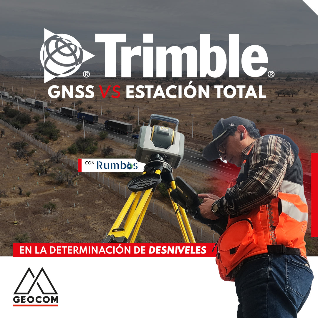
GNSS vs Total Station in determining elevation differences
To compare the determination of height differences using GNSS and total station, a 5 km itinerary is carried out, consisting of 11 materialized points spaced every 500 m, producing a total of 10 height differences, which are observed directly using GNSS and total station.
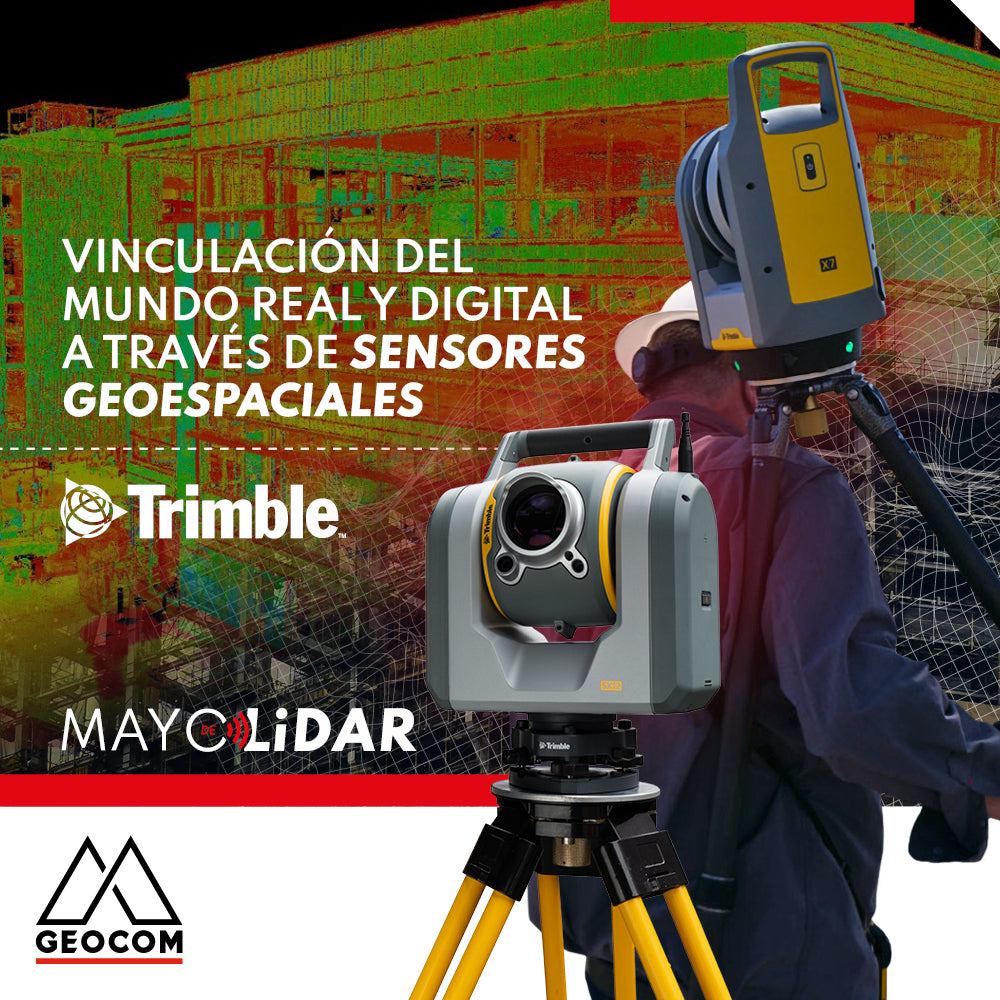
Linking the real and digital worlds through geospatial sensors
GNSS positioning and the problem of projection in the use of total stations

Is it necessary to configure map projections for total stations?
It is strictly necessary to configure a map projection when working with a total station, and even more so when combined with determinations made with GNSS. This applies to any map projection, even those that minimize the effect of the combined scale factor on projected distances.
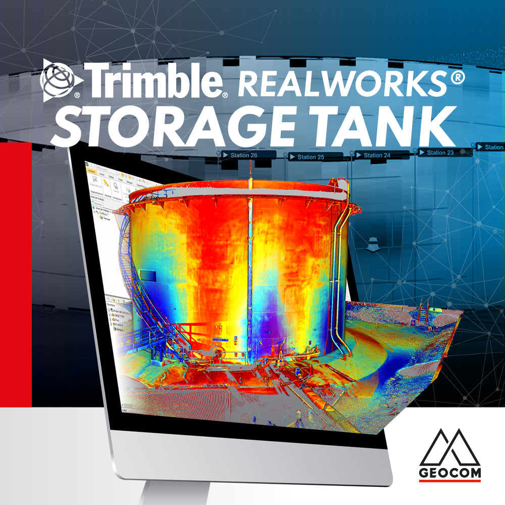
Trimble RealWorks Storage Tank
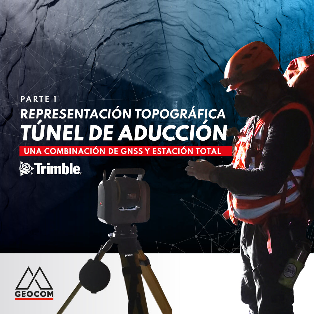
Topographic representation of the adduction tunnel | Part 1
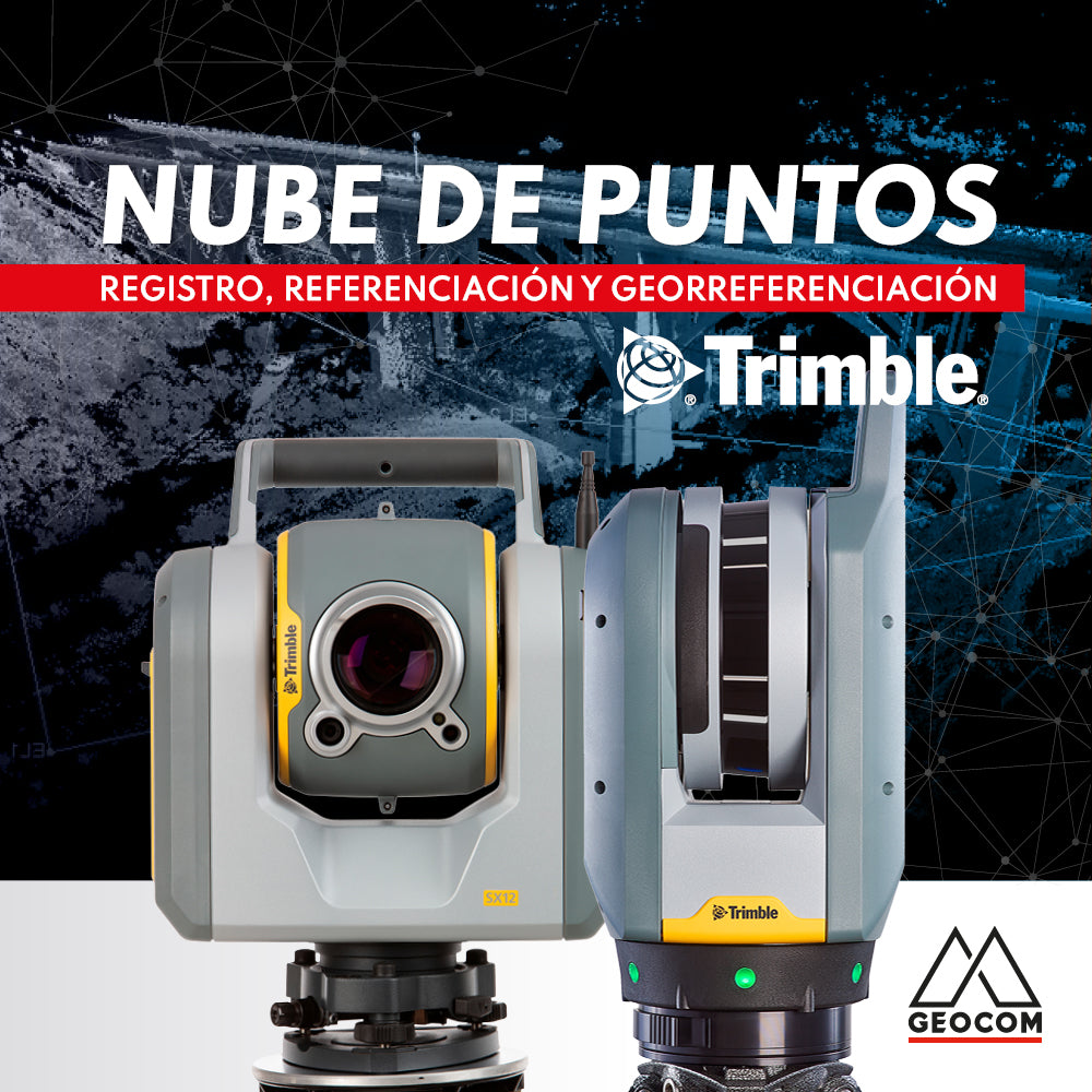
Point cloud: REGISTRATION, REFERENCING, AND GEOREFERENCING
Point clouds represent reality in three dimensions with high representativeness. Depending on the sensor's capabilities and the measurement conditions, the resulting cloud can vary in resolution and accuracy.
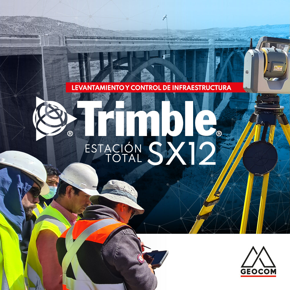
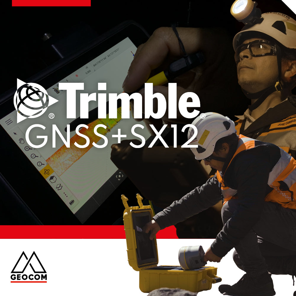
Infrastructure Surveying and Monitoring with Trimble SX12
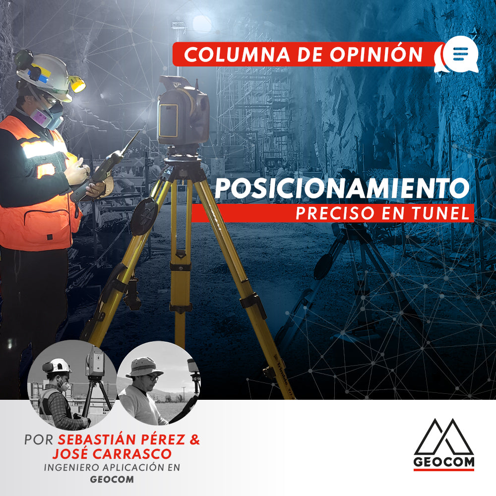
OP-ED | Precise positioning in tunnels
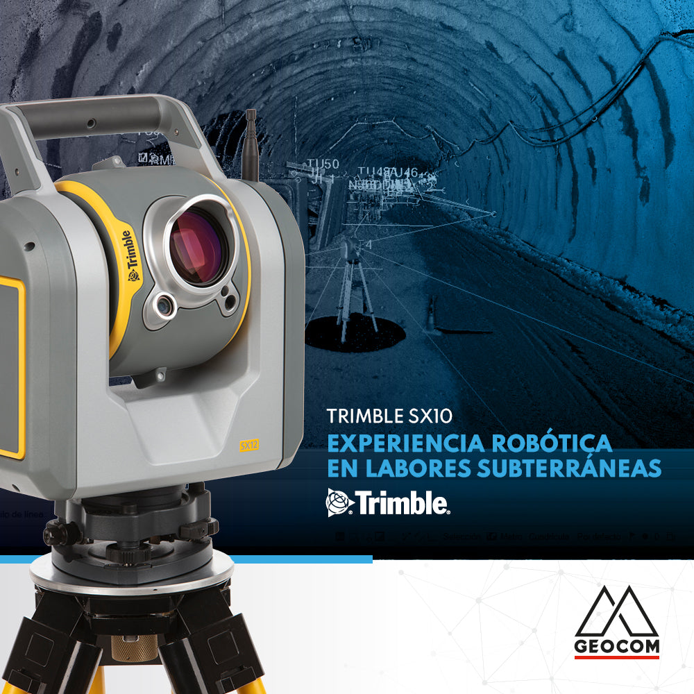
Robotic experience in underground work with Trimble SX10
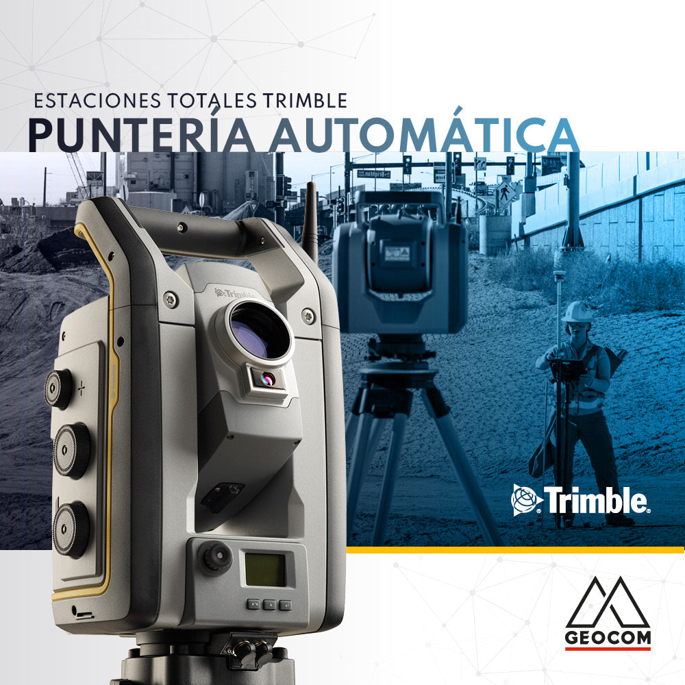
Trimble Total Stations Auto-Targeting