

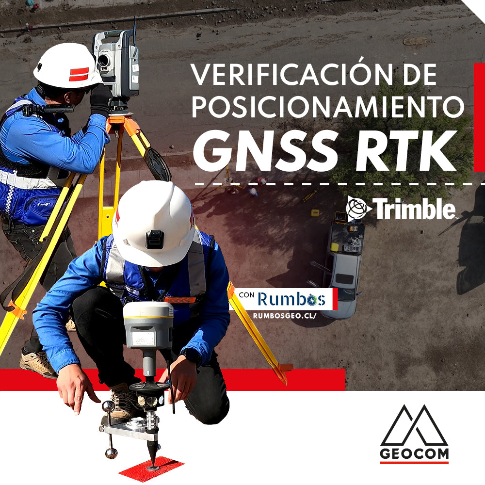
RTK GNSS positioning verification

Topographic Representation for Excavations | Trimble R12i
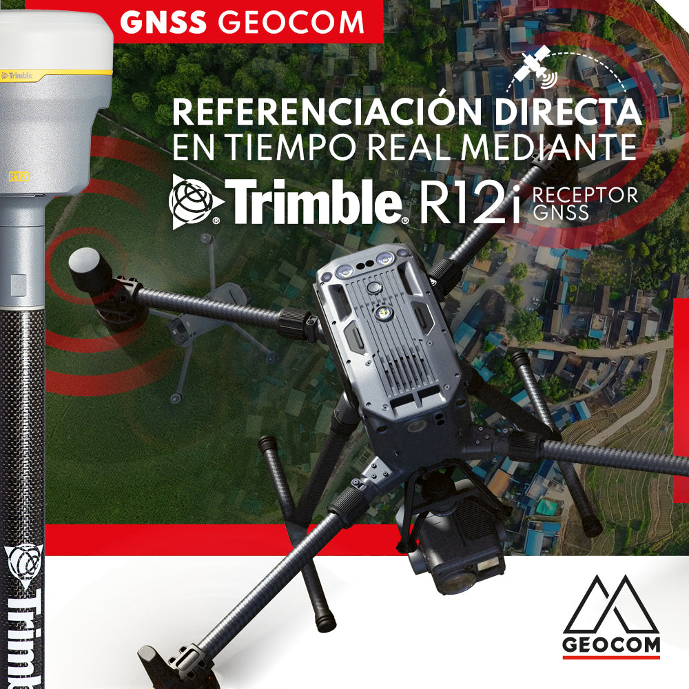
Real-time direct referencing with Trimble R12i

RTX: Over a decade of precise point positioning

Case 5 Trimble R12i | Drone integration
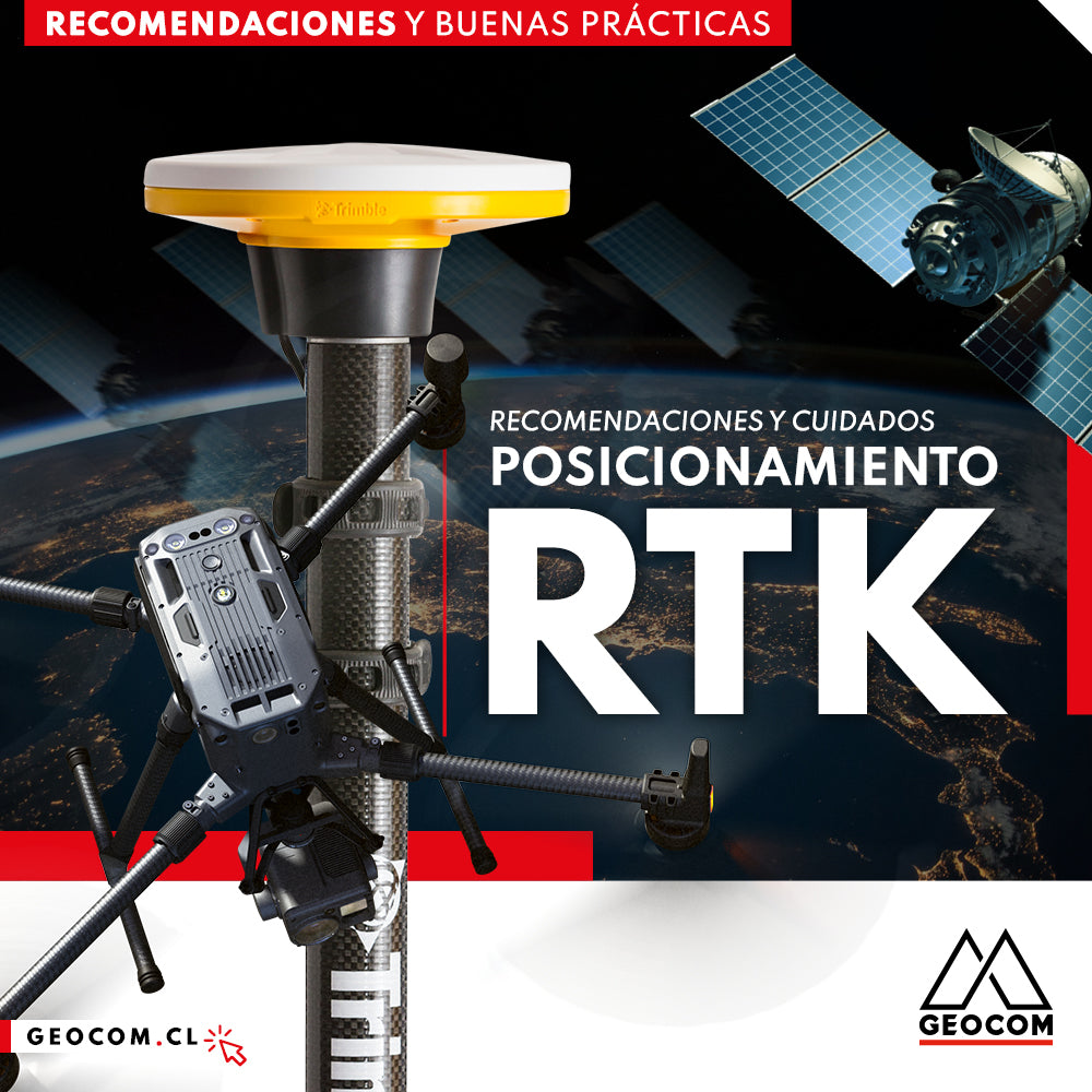
RTK Positioning: Recommendations and Care

Where to measure an instrumental height on a Trimble GNSS receiver?

Case 4 Trimble R12i | Earthwork Cut Sheets
This activity involves some risks associated with falls at the same or different levels, which can be avoided by using R12i's tilt measurement functionality.
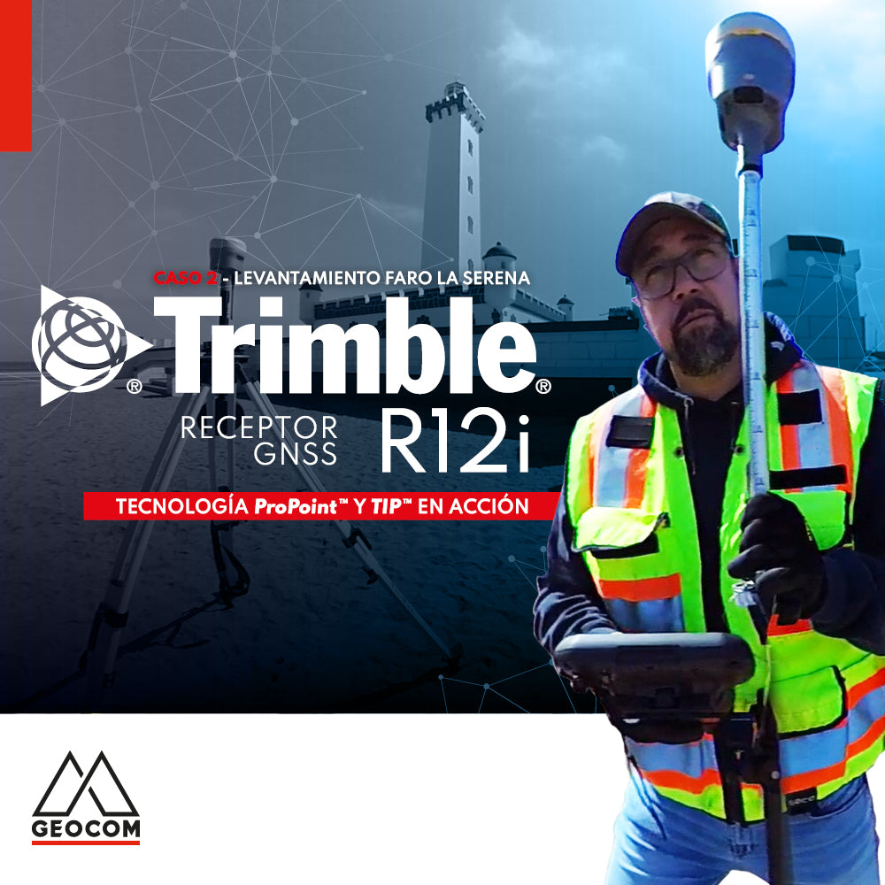
Case 2 Trimble R12i | La Serena Lighthouse Survey

A comparison between GNSS and Total Station

Trimble R12i Experience | Case 1
Our colleague Frank Núñez demonstrates a Trimble R12i GNSS system in a very common operation, showing the gain in productivity without sacrificing precision, based on two fundamental elements of Trimble technology: ProPoint and TIP.

Trimble R12i: Just Another GNSS Receiver with IMU?

ProPoint™ Technology in Trimble DA2
One of the requirements for proper GNSS observation is to have a clear sky to achieve good tracking of the signals sent by the satellites. This requirement seems to be an unavoidable condition for GNSS; however, Trimble has introduced significant improvements in the RTK processing engine for its new GNSS receivers.

Trimble R12i as an internet base station
Why not consider a roving GNSS base that can broadcast differential corrections over the internet? This is precisely what Trimble R12i achieves.
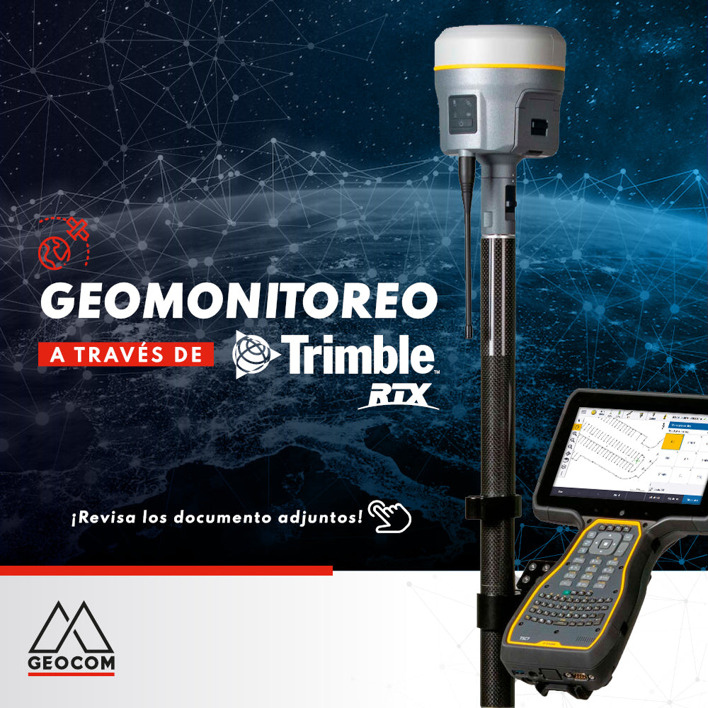
Geomonitoring with Trimble RTX