

CarreterasconstrucciónGEOCOMGeomensuraMineríaSoftware TrimbletopografíaTrimbleTrimble Business CenterTrimble R12iTrimble SX12
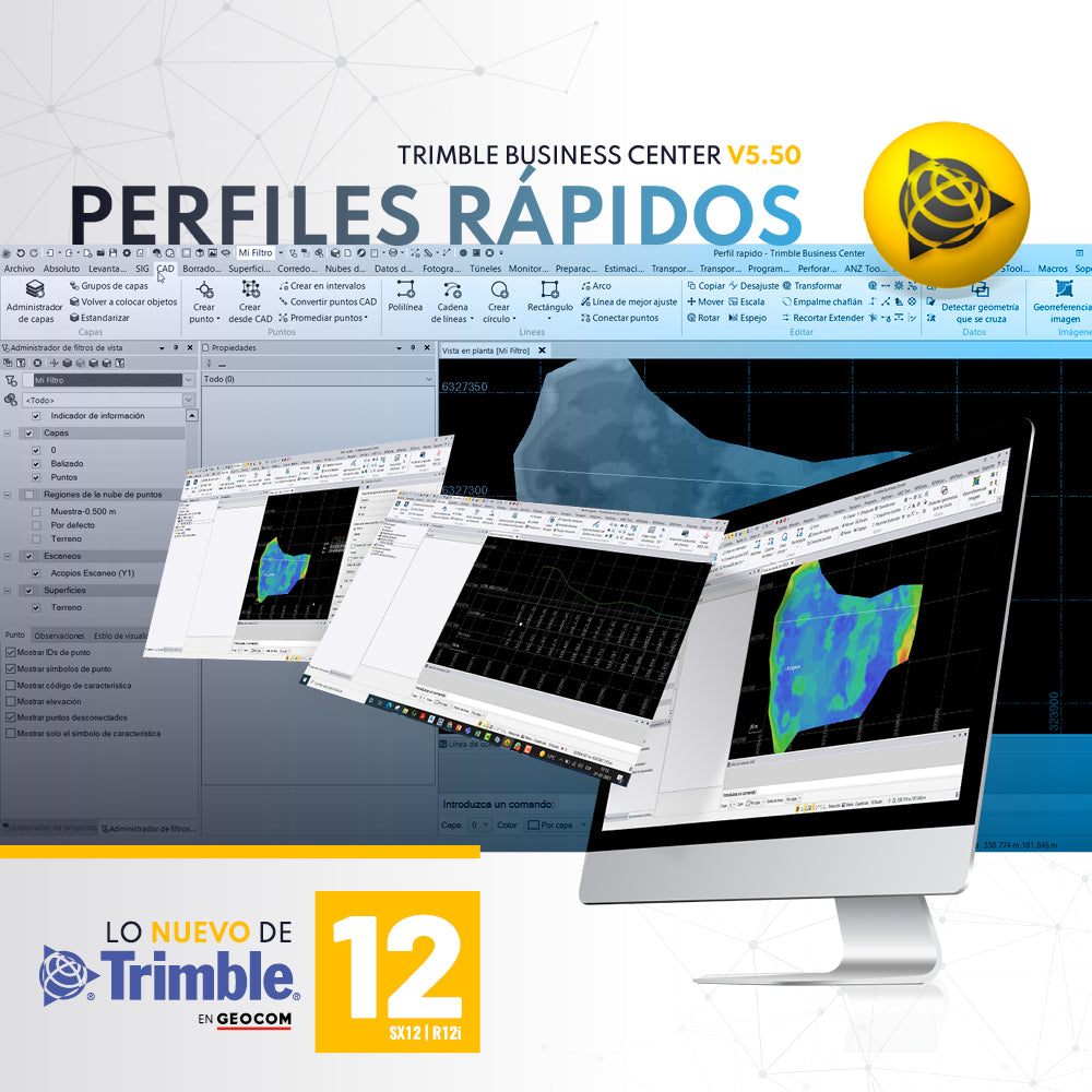
QUICK PROFILES WITH TRIMBLE BUSINESS CENTER v5.50
A required tool in any software associated with topography is the ability to generate quick profiles that are exportable, informative, or necessary for creating reports or plans.
GEOCOMGNSSGNSS TrimbleNoticia GEOCOMReceptor GNSSRTKSoluciones GeoespacialestopografíaTrimbleTrimble R12iTrimble SX12WebinarWebinar GEOCOM

Integrated surveying is a methodology that combines satellite observation from Trimble R12i with terrestrial observation from SX12 in a common free station, which offers great flexibility when setting up the scanning total station.
CalidadCaminosconstrucciónEnergíaGEOCOMgeodesiaingenieríaMineríaNoticia GEOCOMTBCtopografíaTrimbleTrimble R12i
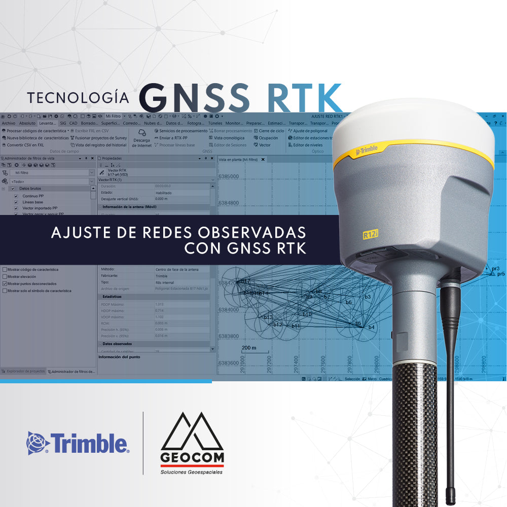
Adjustment of Observed GNSS RTK Networks
The use of GNSS RTK observation techniques for geodetic networks is underexplored. The most commonly used observation method is Static.