News

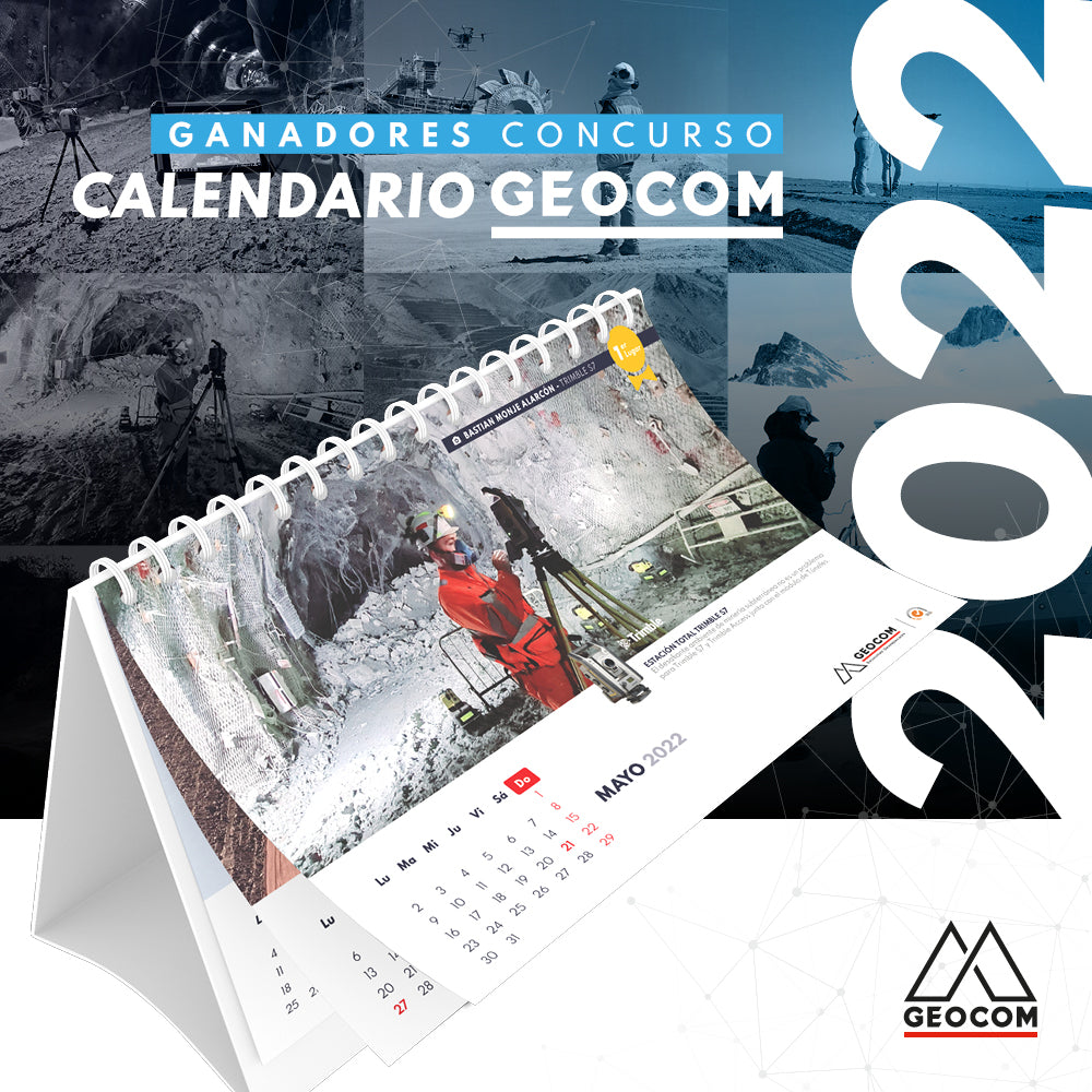
CONCURSO FOTOGRÁFICO CALENDARIO GEOCOM 2022

GEOCOM 2022 CALENDAR PHOTO CONTEST

We want your photographs to be part of our next GEOCOM 2022 calendar, which is why we are looking for the best images of our Geospatial Solutions in the field.

Read more

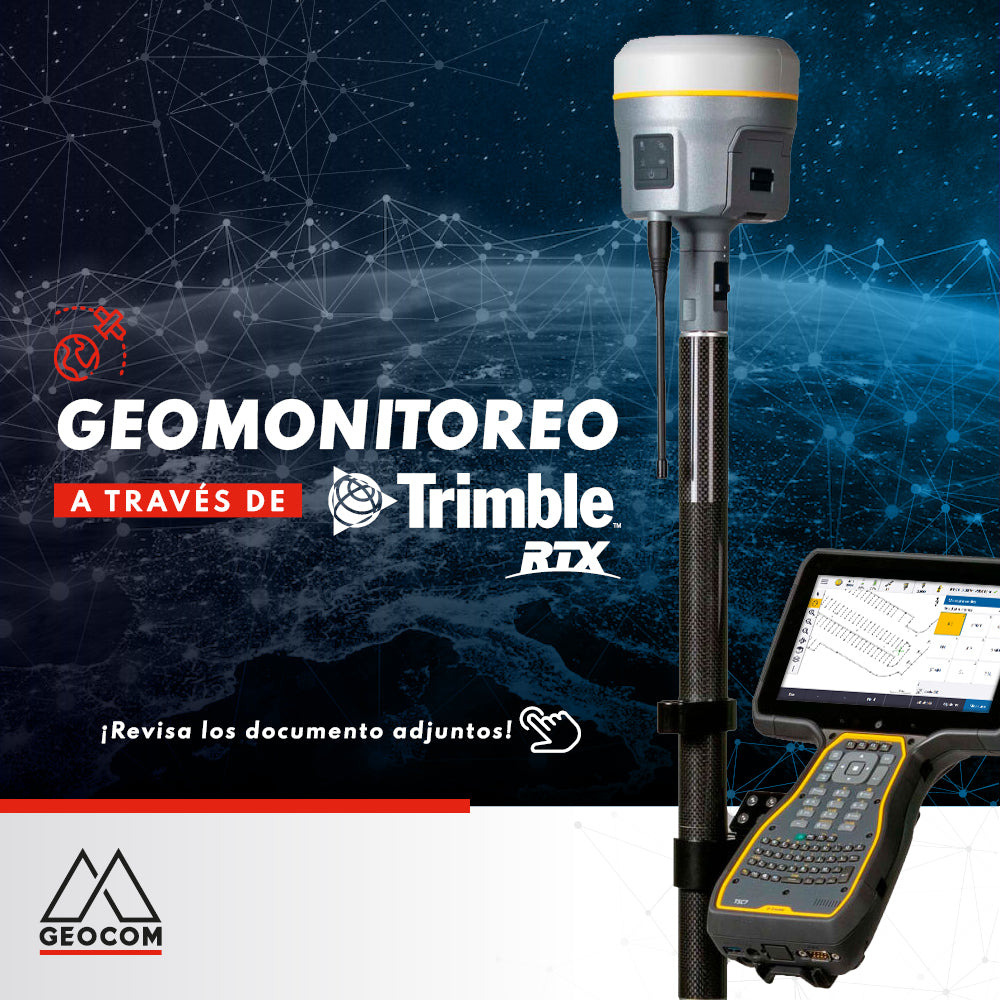
Cambios en servicios Trimble RTX y Trimble xFill

Changes to Trimble RTX and Trimble xFill services

Trimble RTX is undergoing some changes. The frequency and baud rate will change as follows:

Region: Latin America | Name: RTXAL | Frequency: 1545.285 MHz | Baud rate: 2400 bps

This change must be made before September 30.
Read more

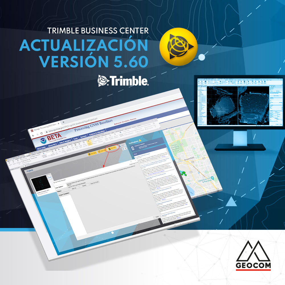
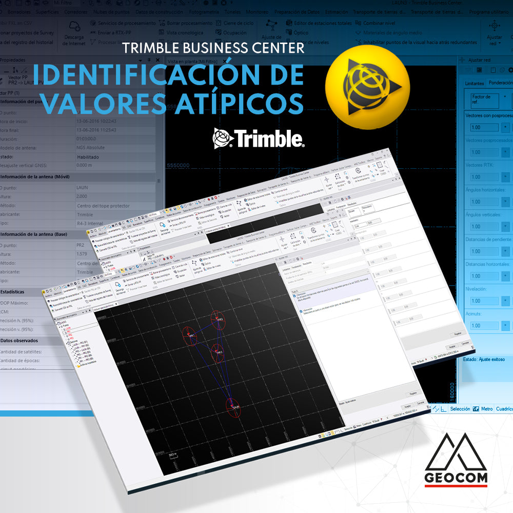
Identificación de valores atípicos en Trimble Business Center

Outlier identification in Trimble Business Center
In Trimble Business Center, the quality analysis of a geodetic network adjustment is performed using the well-known Chi-squared test, which compares the a priori and a posteriori variance factors. Based on a null hypothesis that implies equality between both factors...

Read more

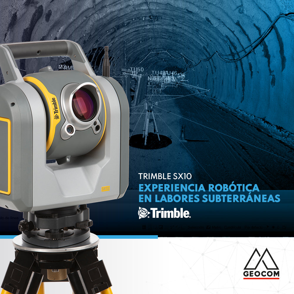
Experiencia robótica en labores subterráneas con Trimble SX10

Robotic experience in underground work with Trimble SX10
The use of robotics in underground work combined with cyclical observations in a trisection to orient the equipment, allows us to apply techniques for an accurate result.

Read more

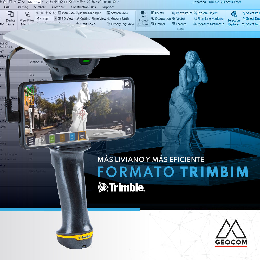
Formato TrimBIM: más liviano y más eficiente

TrimBIM Format: Lighter and More Efficient
Professionals working in the digital construction field often encounter BIM models that contain a lot of information and consequently end up being very large.

Read more

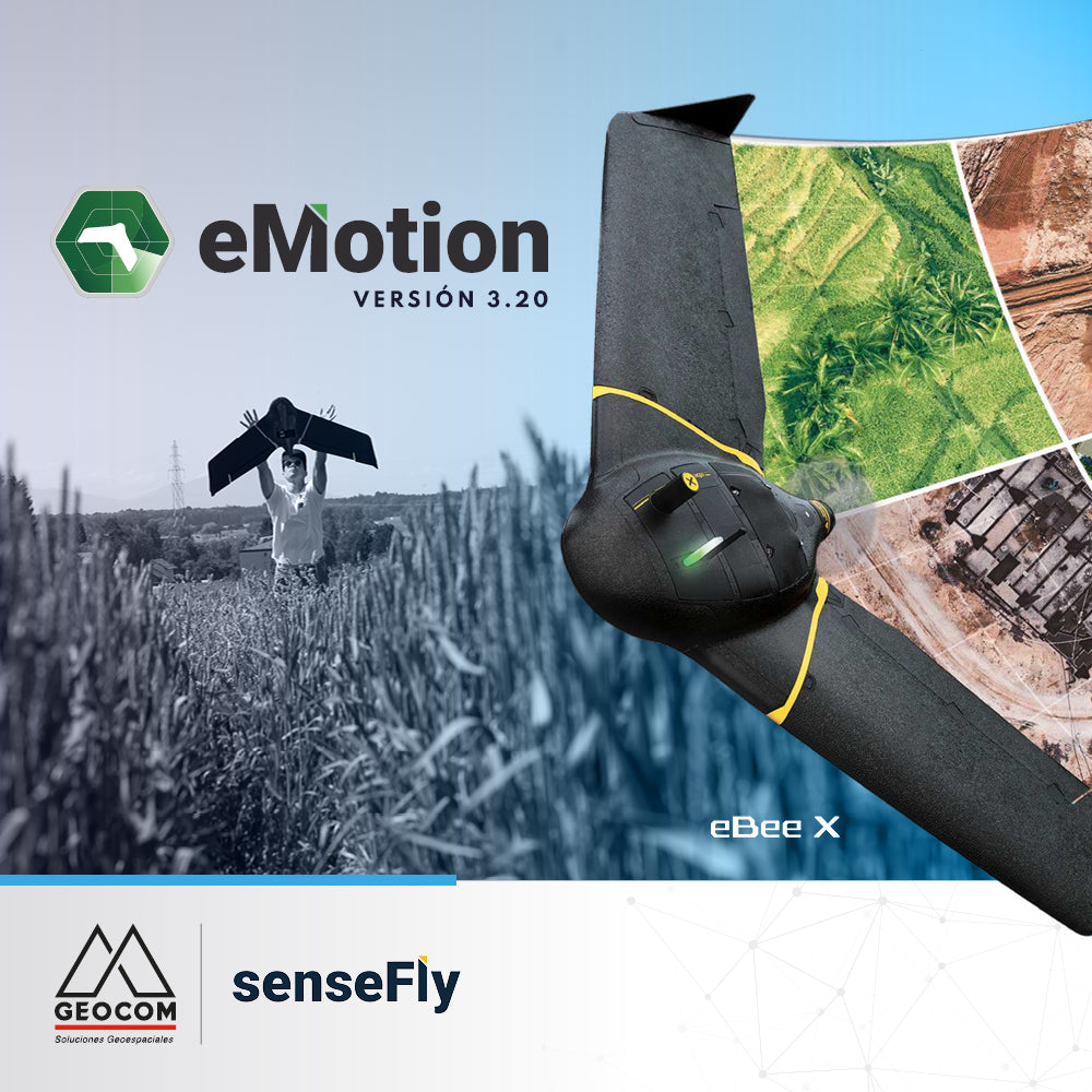
Conoce las últimas novedades de eMotion 3.20

Learn about the latest eMotion 3.20 features

eMotion is the advanced, reliable, and intuitive multi-platform that supports our eBee X from flight planning to PPK trajectory processing.

Read more

Horario atención fiestas patrias 2021

Patriotic Holidays 2021 Opening Hours

We inform our clients and collaborators that for these National Holidays 2021, GEOCOM will have the following special hours.
Wednesday 15: Open from 8:00 a.m. to 1:00 p.m.
Thursday 16: Open from 8:00 a.m. to 1:00 p.m.
Friday 17: Holiday

Read more

Uso de Drones DJI en la revolución de la energía solar

Using DJI Drones in the Solar Energy Revolution

Due to the severe environmental crisis caused by the use of fossil fuels, the demand for clean energy has increased exponentially worldwide in recent years, and solar energy is taking center stage in this green energy revolution.

Read more

Software RiscanPro – Control mediante herramienta comparación de superficies

RiscanPro Software – Surface comparison tool control

Geospatial control is a very important task for reviewing the operational progress of a work area, as is comparing the current topography with respect to a design surface.

Read more

RIEGL Sistema de escaneo móvil + TBC

RIEGL Mobile Scanning System + TBC

Geospatial capture tools are currently very diverse. One of them is the Mobile Laser Scanner (MLS), which allows for high productivity in the field.

Read more

AJUSTE LIBRE EN TRIMBLE BUSINESS CENTER

FREE ADJUSTMENT IN TRIMBLE BUSINESS CENTER

Trimble Business Center incorporates free adjustment of geodetic networks using the inner constraints approach, which allows the network to be evaluated by its internal geometry (observations)...

Read more

RIEGL - Sistema de Escaneo Móvil Terrestre

RIEGL - Terrestrial Mobile Scanning System

The Terrestrial Mobile Scanning Systems presented by RIEGL allow the capture of massive geospatial data with high accuracy from zones or areas of interest.

Read more

DJI M300 RTK + Zenmuse P1: Aumenta la precisión en tus levantamientos

DJI M300 RTK + Zenmuse P1: Increase Accuracy in Your Surveys

The new M300 RTK + Zenmuse P1 geospatial solution allows us to survey areas with terrain following like never before.

Read more

Puntería automática en estaciones totales Trimble

Trimble Total Stations Auto-Targeting

The implementation of automatic aiming technologies in Trimble total stations aims to increase the productivity and automation of land observations.

Read more

Vuela tu senseFly eBee X con seguimiento al terreno personalizado

Fly your senseFly eBee X with custom terrain following

Flying with terrain following makes it easier to obtain high-quality photogrammetric products, since this type of survey allows you to maintain a constant pixel size.

Read more