

![[Copiapó 📍 Workshop] Drones en el mundo geoespacial](http://www.geocom.cl/cdn/shop/articles/POST_workshop_copiapo-Drones_en_el_mundo_geoespacial.jpg?v=1755796733&width=1080)
[Copiapó 📍 Workshop] Drones in the Geospatial World
WEDNESDAY, SEPTEMBER 10 | 09:30 AM TO 01:30 PM | HOTEL LAS PIRCAS
In this workshop, we will review the latest developments in the UAS & Drones portfolio and provide the tools to improve workflows and product quality.

NEW DJI MATRICE 400 | Intelligent and Efficient Long-Endurance Aerial Missions
GEOCOM is pleased to announce the availability of the DJI Matrice 400, the most advanced professional drone in the industry. The new standard for long-duration intelligent aerial missions is now available in the Chilean market.
![[Evento Workshop 📍 CALAMA] Drones en el mundo geoespacial](http://www.geocom.cl/cdn/shop/articles/POST-IG_workshop_calama-Drones_en_el_mundo_geoespacial_069de5a8-1015-412b-a1f4-d31a5f2847a5.jpg?v=1751472852&width=1080)
[Workshop Event 📍 CALAMA] Drones in the geospatial world
Thank you, CALAMA!
Last Wednesday, June 18, a new "UAS & Drones in the Geospatial World" Workshop, organized by GEOCOM, was held at the Hotel Diego de Almagro.
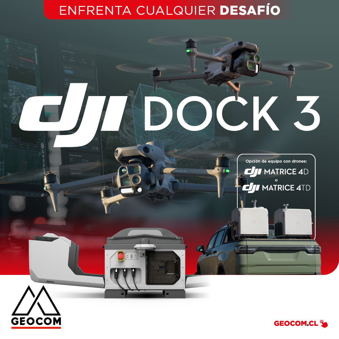
DJI Dock 3 offers a comprehensive Autonomous Drone solution for 24/7 remote operations
DJI Dock 3, the company's first Autonomous Drone solution that allows vehicle mounting, facilitating 24/7 remote operations in diverse environments.
![[Antofagasta] Workshop UAS | Drones en el mundo geoespacial](http://www.geocom.cl/cdn/shop/articles/post_web_workshop_antofagasta-Drones_en_el_mundo_geoespacial_9f7a0124-2efc-42fd-9f8d-5cfba7d88910.jpg?v=1739886671&width=1080)
[Antofagasta] UAS Workshop | Drones in the geospatial world
THURSDAY, MARCH 27 / 09:00 AM TO 01:30 PM / HOTEL FLORENCIA SUITES
In this workshop, we will review the latest developments in the UAS & Drones portfolio and provide tools to improve workflows and product quality.
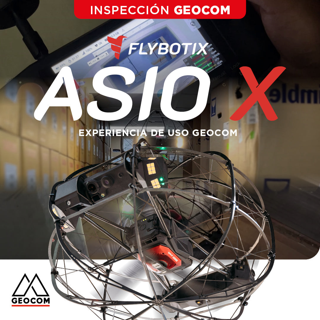
Flybotix ASIO X: GEOCOM User Experience
GEOCOM strengthens its commitment to technological innovation by welcoming Alejandro Quidiello, Flybotix Test and Quality Engineer, to its facilities. Quidiello provided comprehensive training on the ASIO X inspection drone system.
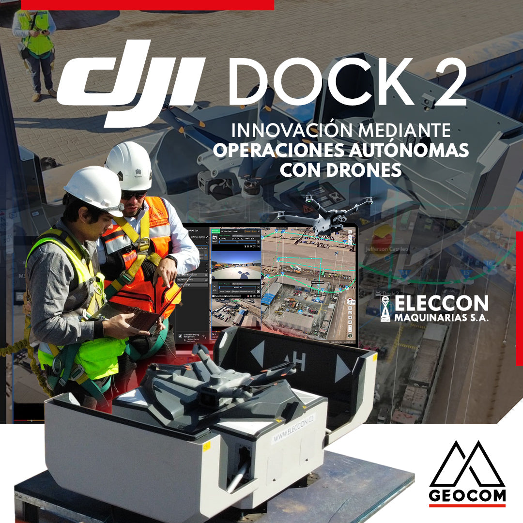
DJI Drones | Innovation Through Autonomous Drone Operations
In 2024, they have taken a very important step in innovation by acquiring the DJI Dock 2 with the Matrice 3D drone for photogrammetry and inspection with visible light.
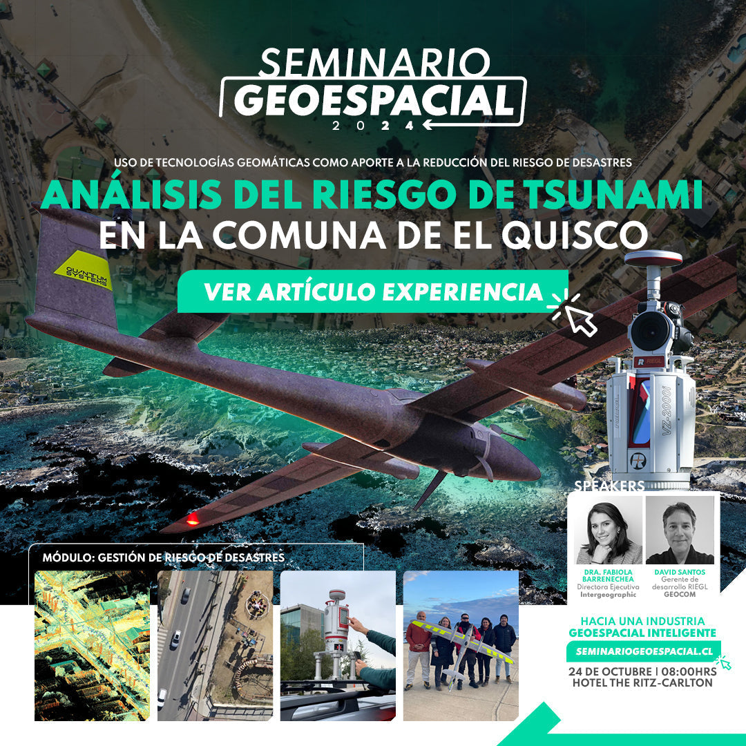
Tsunami risk analysis on the coast of El Quisco
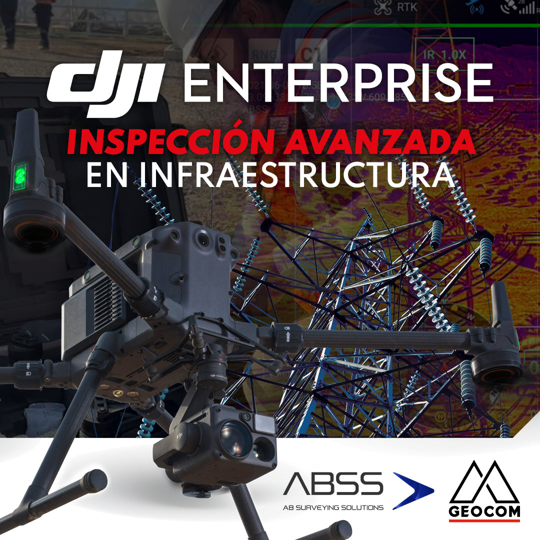
DJI Drones | Advanced infrastructure inspection
DJI drones have revolutionized inspections thanks to their advanced technology and versatility. These systems can be equipped with different types of high-resolution sensors (primarily RGB and thermal), which allow for capturing highly detailed photos and videos of various elements.
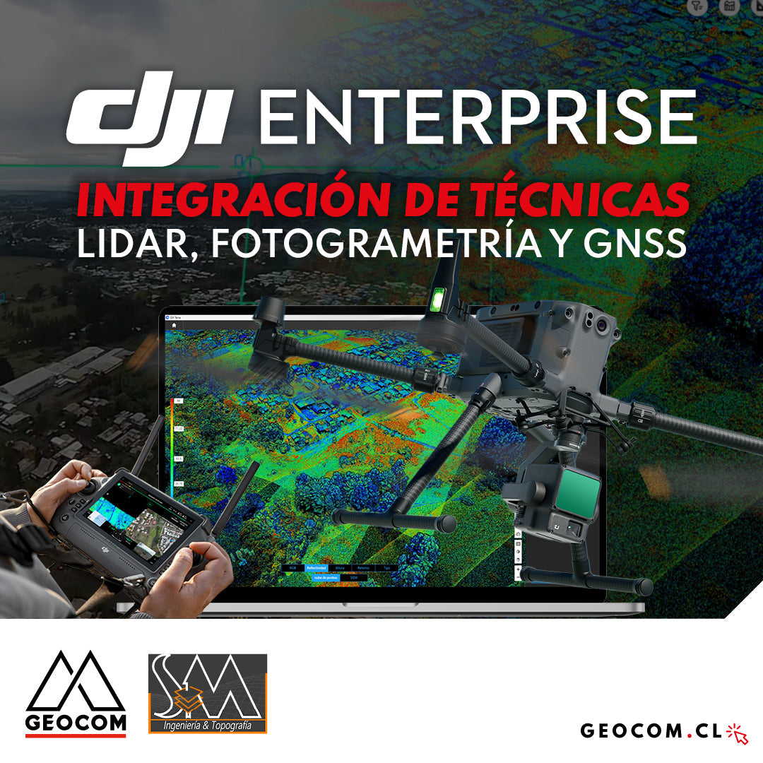
DJI Drones | Integration of LiDAR, Photogrammetry, and GNSS Techniques
Success story, where a project was executed integrating different geospatial capture techniques, using a DJI M350 drone with two sensors: Zenmuse P1 for photogrammetry and Zenmuse L2 for LiDAR. In this article, we will review the key points that made the use of both sensors necessary to provide a more representative and accurate capture of the area.
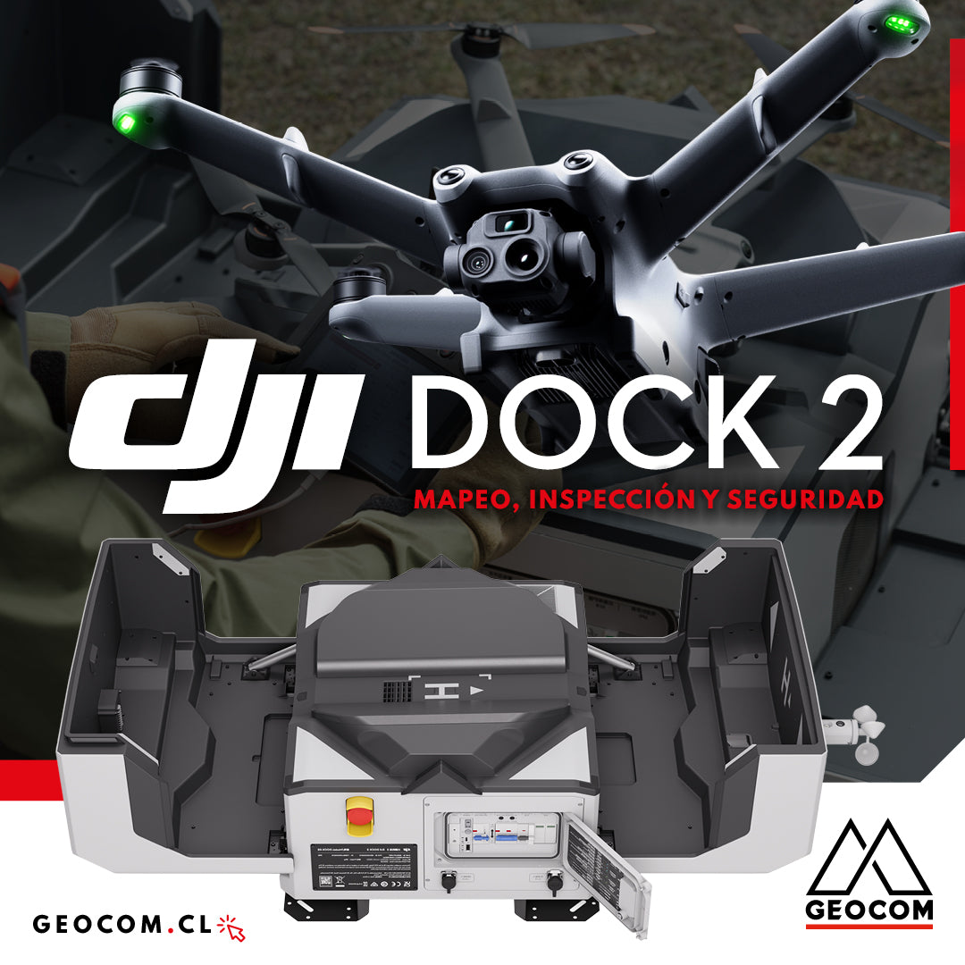
DJI Dock 2: Mapping, Inspection, and Security
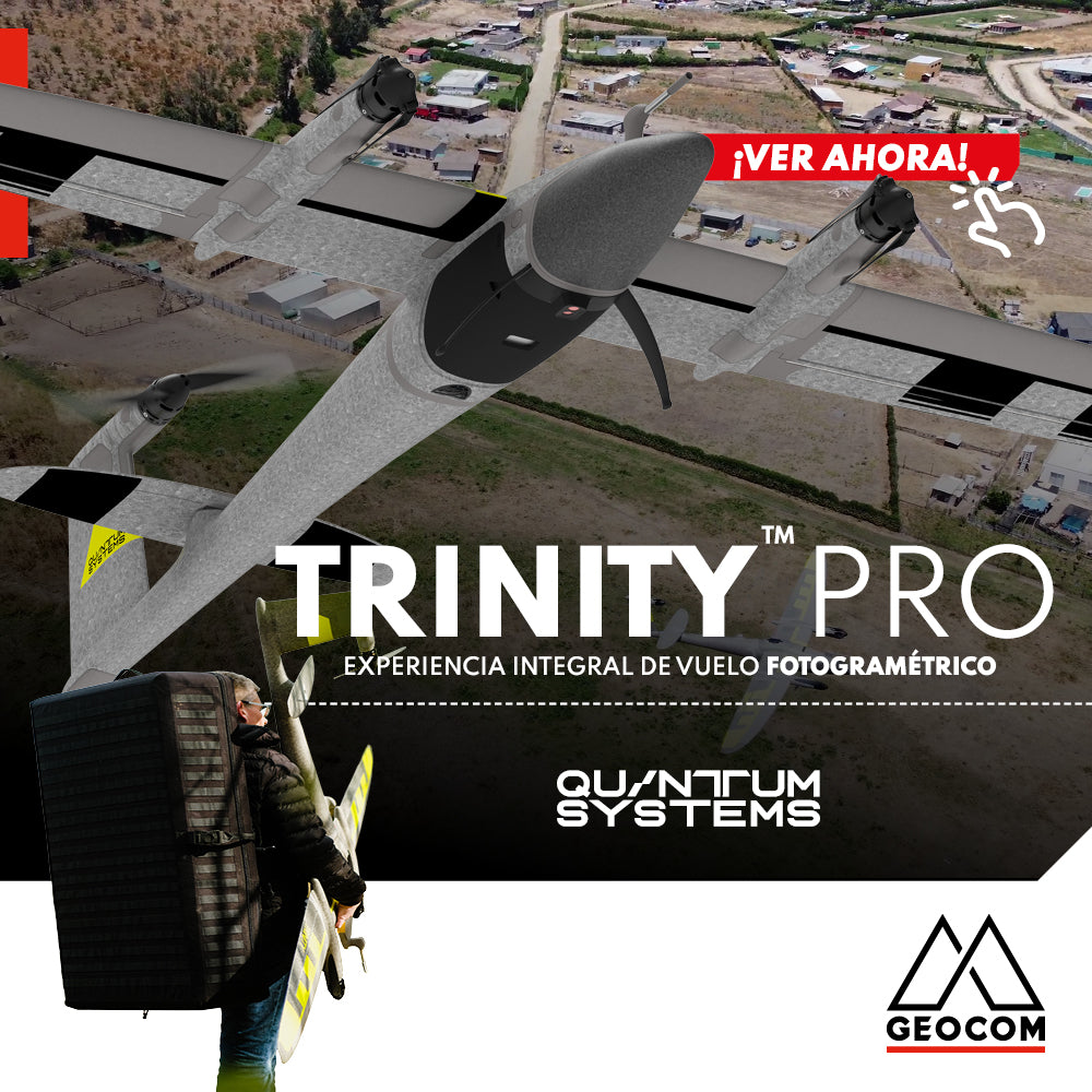
Quantum Systems Trinity Pro | Comprehensive Photogrammetric Flight Experience
In our recent mission, we completed a comprehensive photogrammetric flight experience, using cutting-edge technology to deliver high-precision, high-quality results. Here is an overview of our process ↓

Oblique Photogrammetry with SHARE UAV PSDK 102S V3 Camera
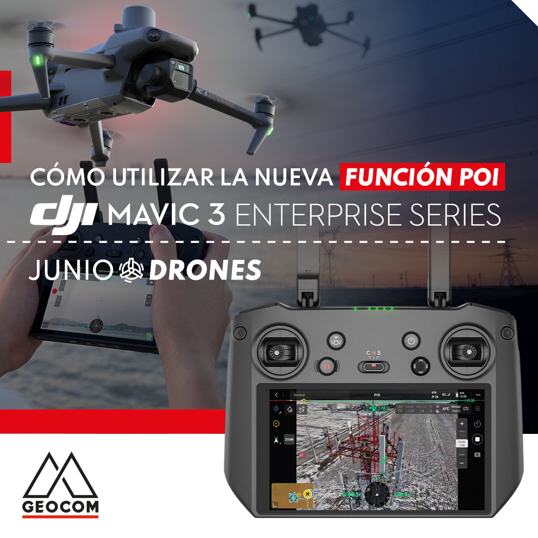
New POI intelligent flight mode for DJI Mavic 3 Enterprise
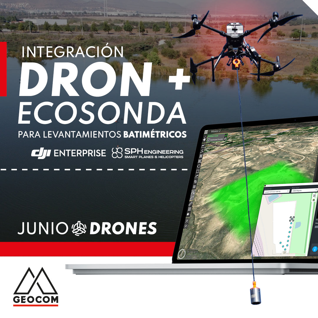
Drone and echo sounder integration for bathymetric surveys