

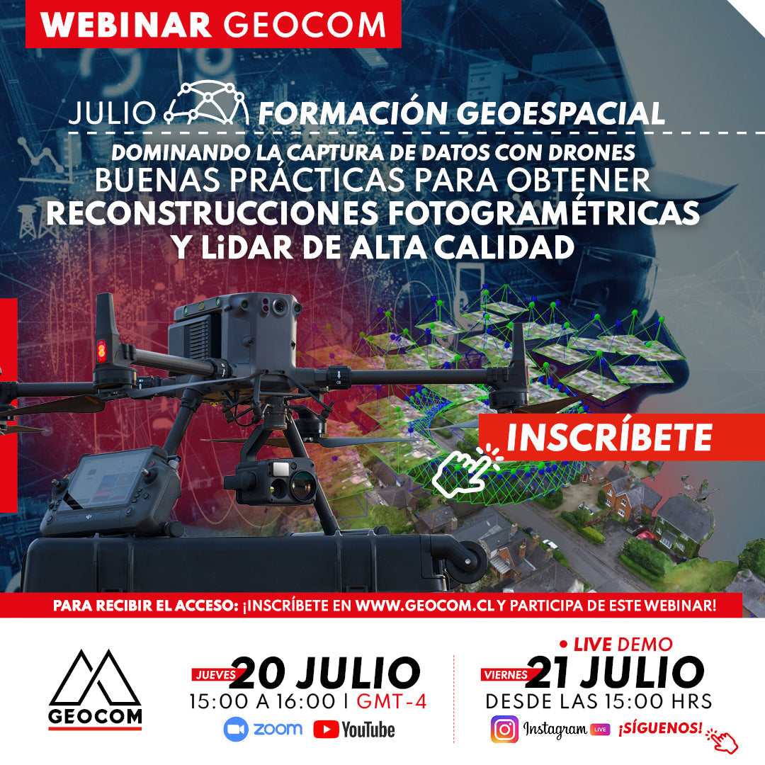
Webinar | Best practices for high-quality photogrammetric and LiDAR reconstructions
THURSDAY 20/07 - 3:00 PM | Zoom & YouTube Live
Tips for proper photogrammetric and LiDAR data capture, taking into account internal factors of the sensor used, strategies, and flight factors.
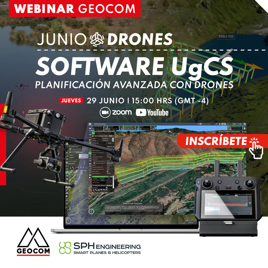
June Drone Webinar | UgCS Software for Advanced Drone Planning
THURSDAY 06/29 - 3:00 PM | Zoom & YouTube Live
In this webinar, we will review in detail the features of this software, its advantages in terms of advanced planning, and its implementation in the use of various sensors mounted on drones such as echosounders and magnetometers.

June Drone Webinar | Inspection with Drones
WATCH NOW! | Geocom.cl & YouTube
In this webinar, we will review in detail the characteristics of drones used for inspection, as well as the specifications of their RGB and thermal cameras.
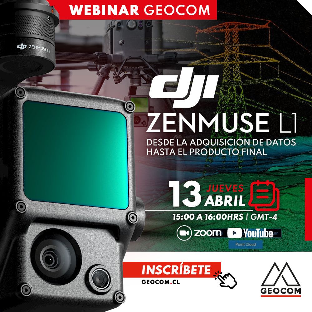
Webinar | DJI Zenmuse L1: From Data Acquisition to Final Product
Now Available! | Geocom.cl & YouTube
We will explore the solution offered by the DJI Zenmuse L1 and how the incorporation of this airborne technology facilitates data acquisition and the obtaining of results in multiple applications and daily tasks of the mining process.
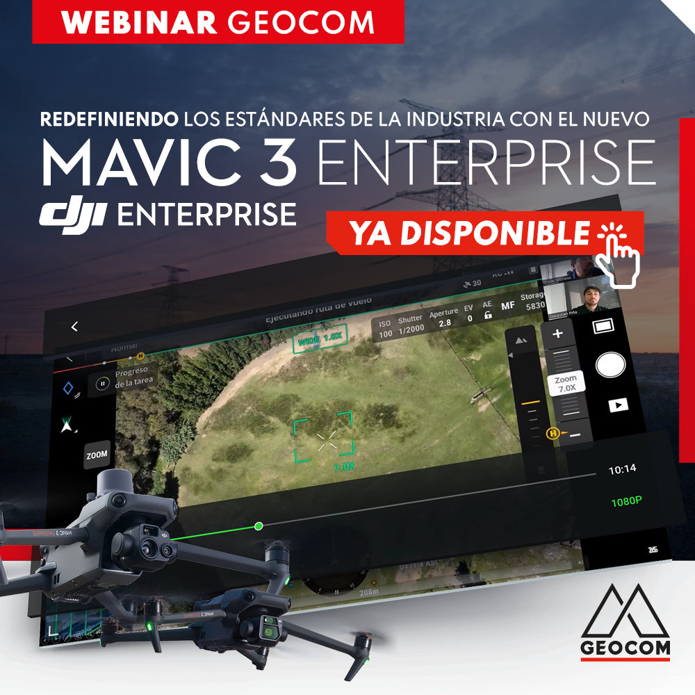
WEBINAR | Redefining Industry Standards with the new Mavic 3 Enterprise
NOW AVAILABLE! | Geocom.cl & YouTube
The main features of the M3E, detailing its workflow, applications, and showing its main strengths compared to the old Phantom 4 RTK.
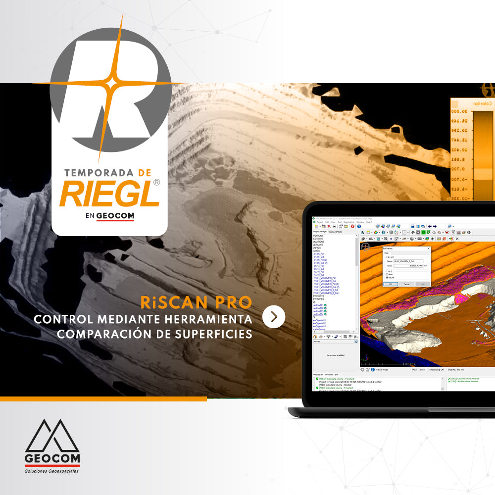
RiscanPro Software – Surface comparison tool control

RIEGL Mobile Scanning System + TBC
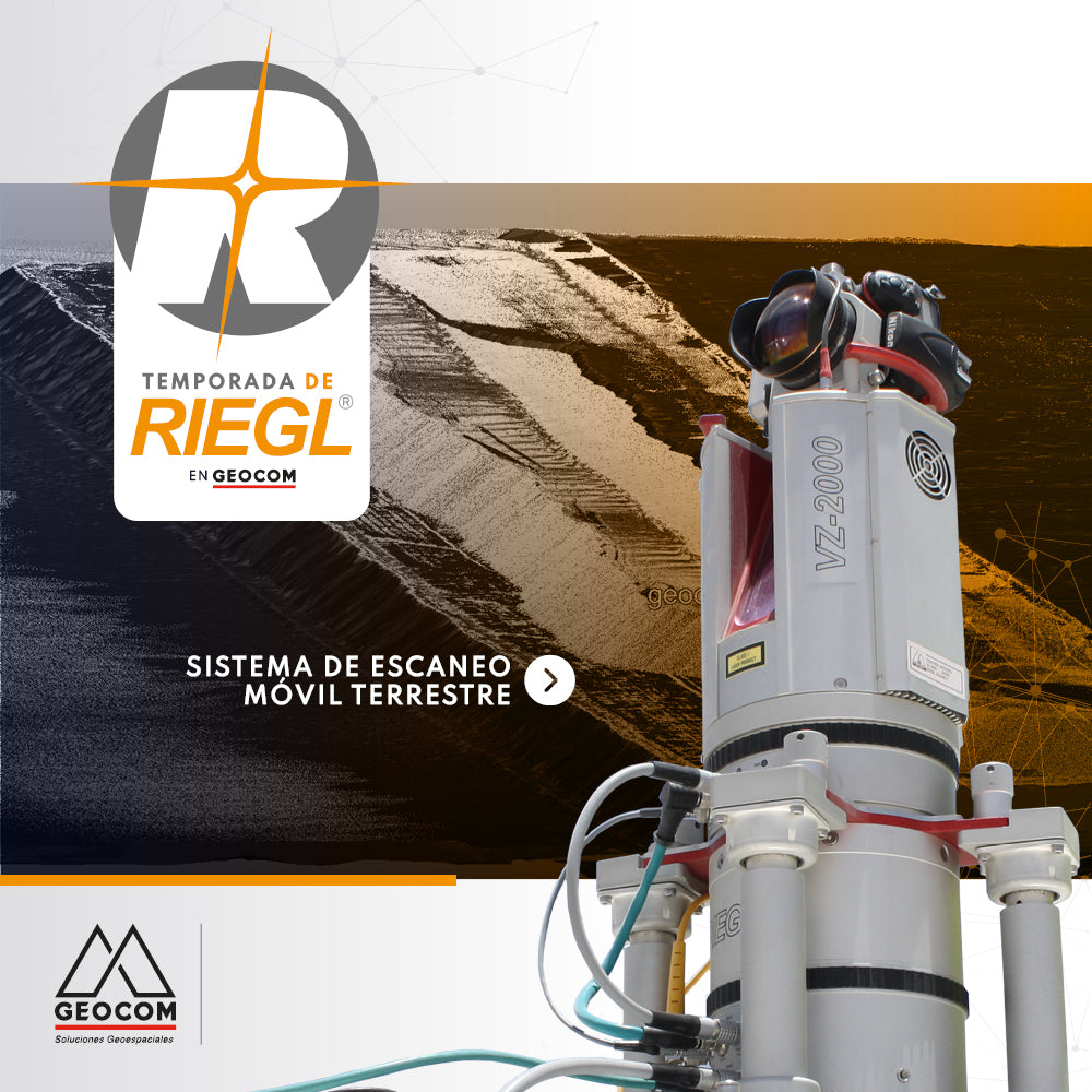
RIEGL - Terrestrial Mobile Scanning System


Trimble Forensics Webinar | Wednesday Workshop Latin America 3
"Replacing Pen and Paper with Trimble X7"
Register and learn from our clients how to conduct forensic investigations with Trimble Forensics solutions.
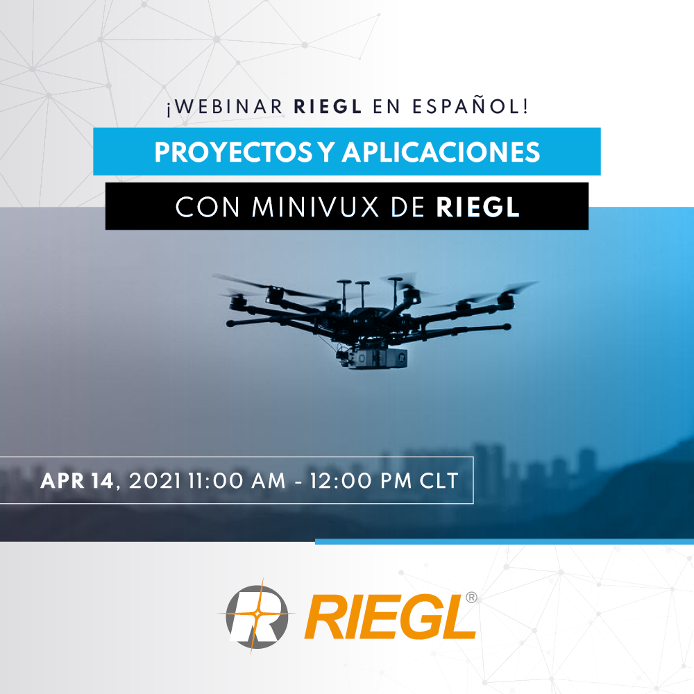
WEBINAR RIEGLE | Projects and Applications with RIEGL's miniVUX