

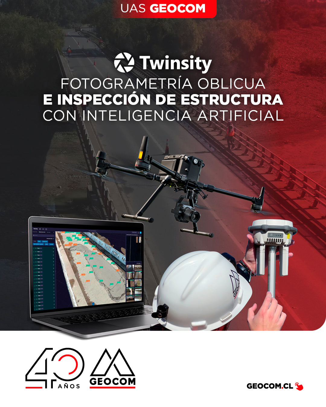
Oblique Photogrammetry and AI-powered Structure Inspection
Can you imagine inspecting a bridge with maximum precision and in less time? This is how we worked on the Naltahua bridge, where we combined the use of the Matrice 300 RTK with the Zenmuse P1 sensor, DJI Terra, and Twinspect's artificial intelligence.
![Representación topográfica a partir de fotogrametría aérea [04 CICLO TBC]](http://www.geocom.cl/cdn/shop/articles/post_ig_ciclo_TBC4.jpg?v=1749581294&width=1080)
Topographic Representation from Aerial Photogrammetry [04 TBC CYCLE]
POST 04 | TBC CYCLE | GEOCOM Engineering
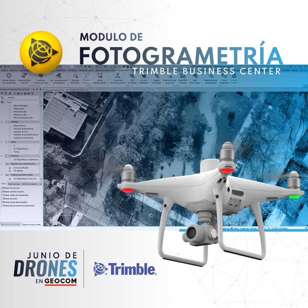
Trimble Business Center offers a number of advantages when it comes to managing the calculation of data from geometric leveling, total stations, GNSS, laser scanners, drones (photographs and LiDAR) and point clouds.
![Representación topográfica en TBC [01 CICLO TBC]](http://www.geocom.cl/cdn/shop/articles/post_ig_ciclo_TBC1_47d4cfed-4ef8-4b97-9369-3526de5313c6.jpg?v=1746040063&width=1080)
Topographic Representation in TBC [01 TBC CYCLE]
PUBLICATION 01 | TBC CYCLE | GEOCOM Engineering
TBC allows for a convenient combination of geospatial observation techniques with the goal of delivering results obtained under a single platform, optimizing the office workflow.
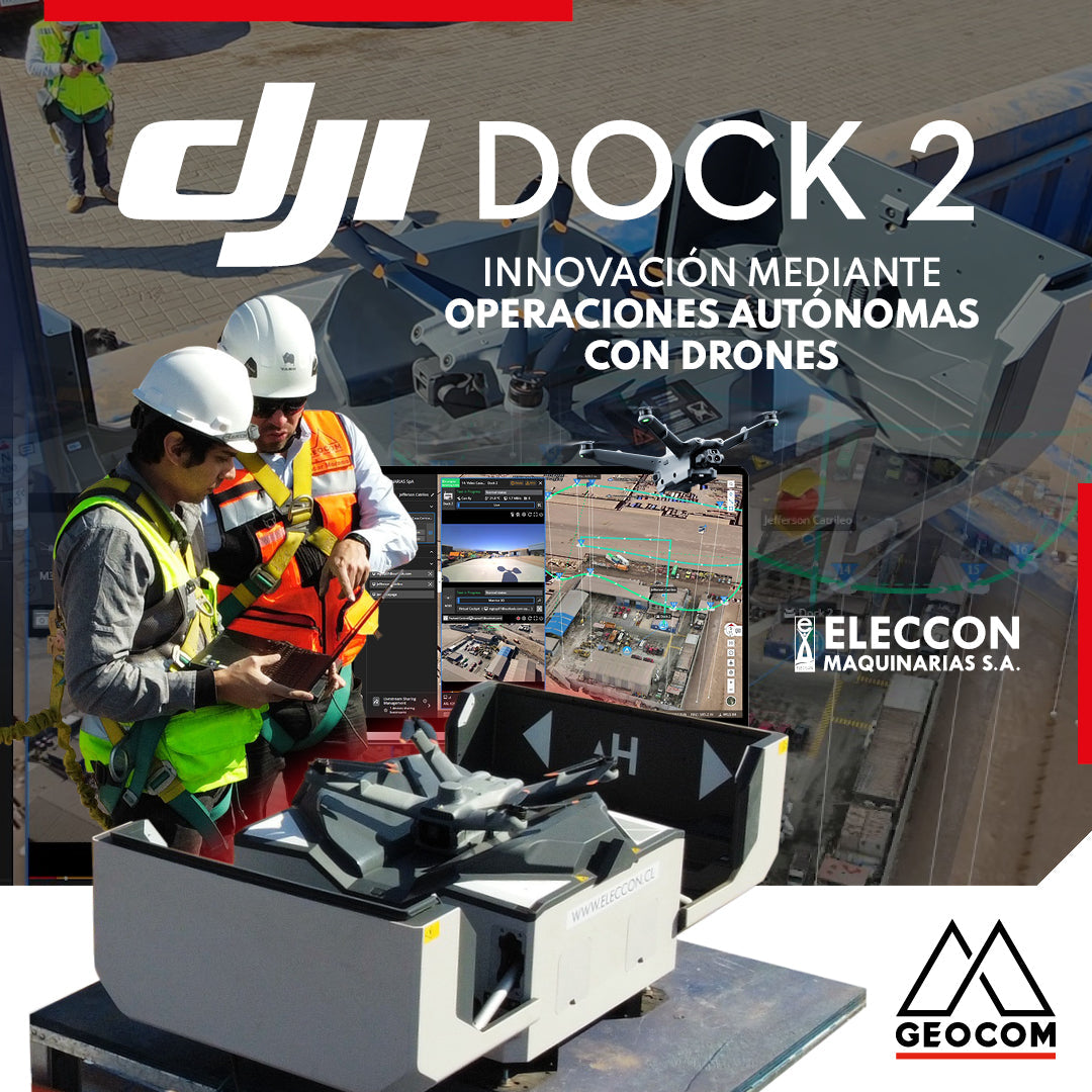
DJI Drones | Innovation Through Autonomous Drone Operations
In 2024, they have taken a very important step in innovation by acquiring the DJI Dock 2 with the Matrice 3D drone for photogrammetry and inspection with visible light.
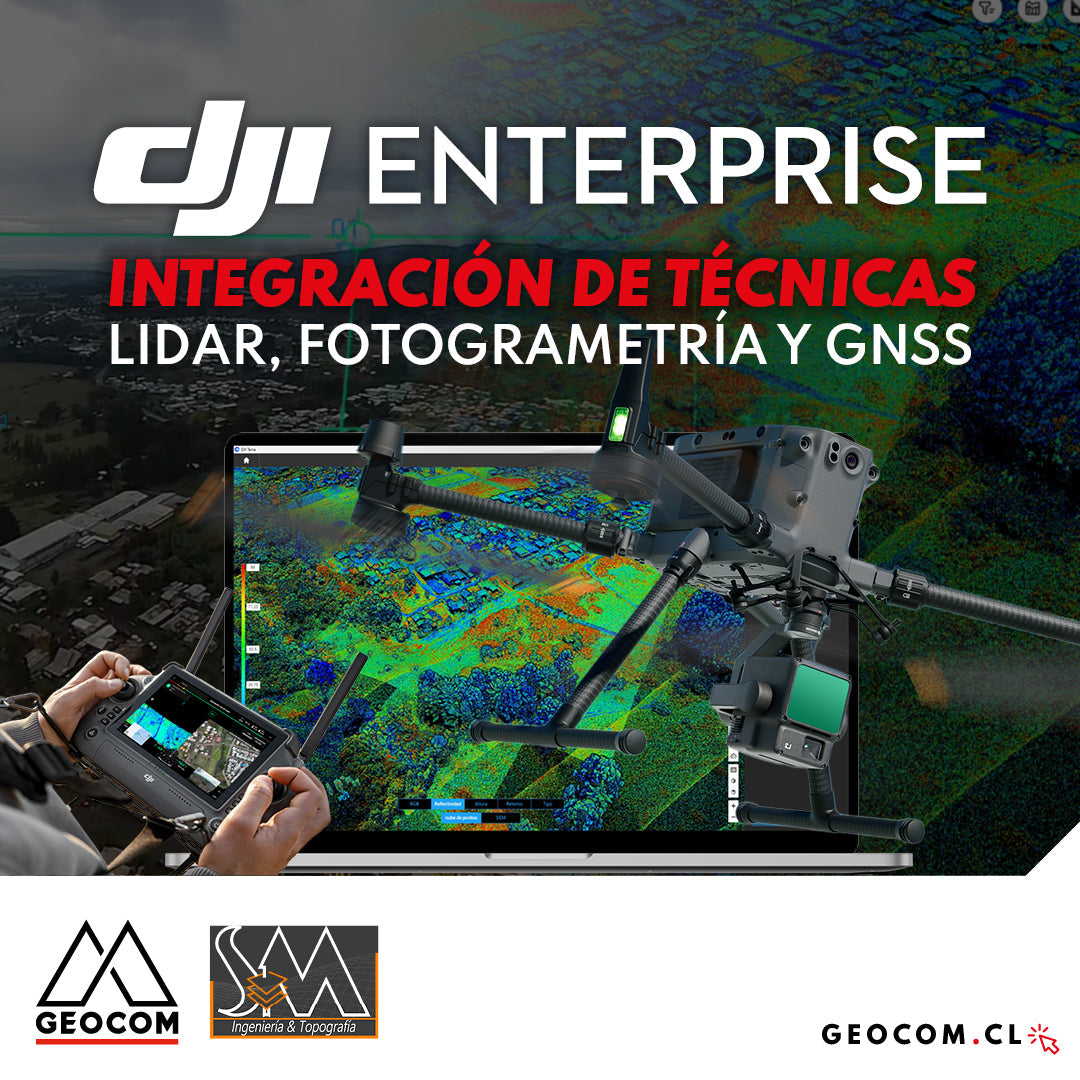
DJI Drones | Integration of LiDAR, Photogrammetry, and GNSS Techniques
Success story, where a project was executed integrating different geospatial capture techniques, using a DJI M350 drone with two sensors: Zenmuse P1 for photogrammetry and Zenmuse L2 for LiDAR. In this article, we will review the key points that made the use of both sensors necessary to provide a more representative and accurate capture of the area.
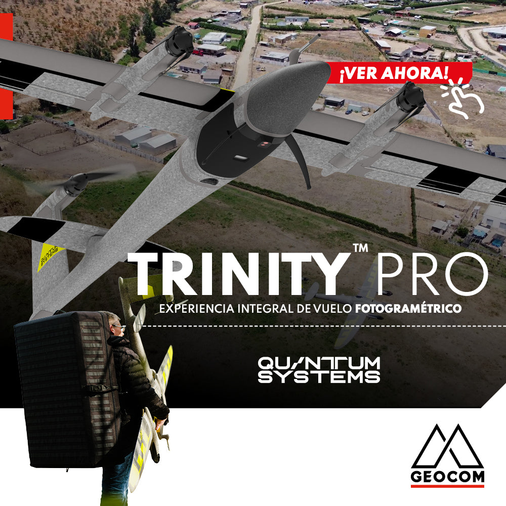
Quantum Systems Trinity Pro | Comprehensive Photogrammetric Flight Experience
In our recent mission, we completed a comprehensive photogrammetric flight experience, using cutting-edge technology to deliver high-precision, high-quality results. Here is an overview of our process ↓

Oblique Photogrammetry with SHARE UAV PSDK 102S V3 Camera
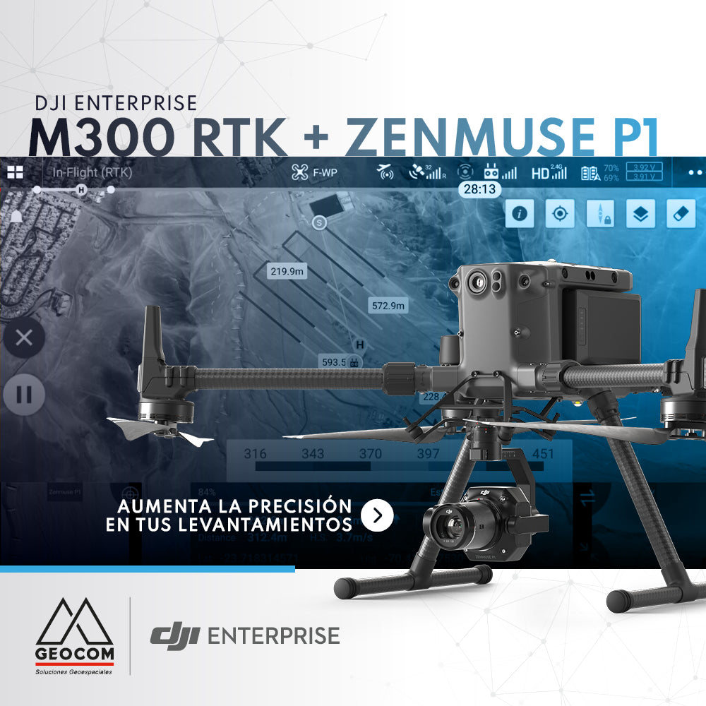
DJI M300 RTK + Zenmuse P1: Increase Accuracy in Your Surveys
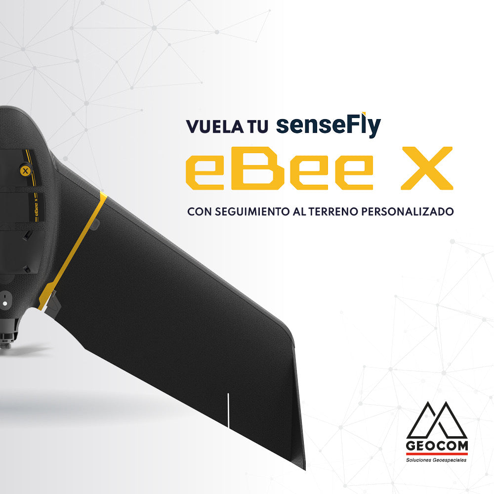
Fly your senseFly eBee X with custom terrain following
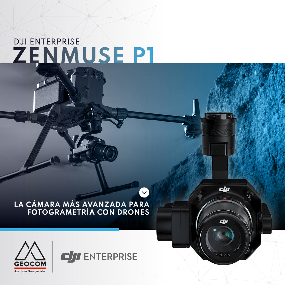
DJI Zenmuse P1, the most advanced drone photogrammetry camera
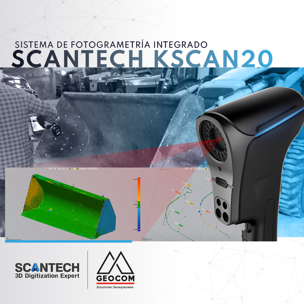
KScan20 | Integrated Photogrammetry System
Kscan20 has an integrated photogrammetry module, which allows us to optimize and obtain better results when capturing large components.
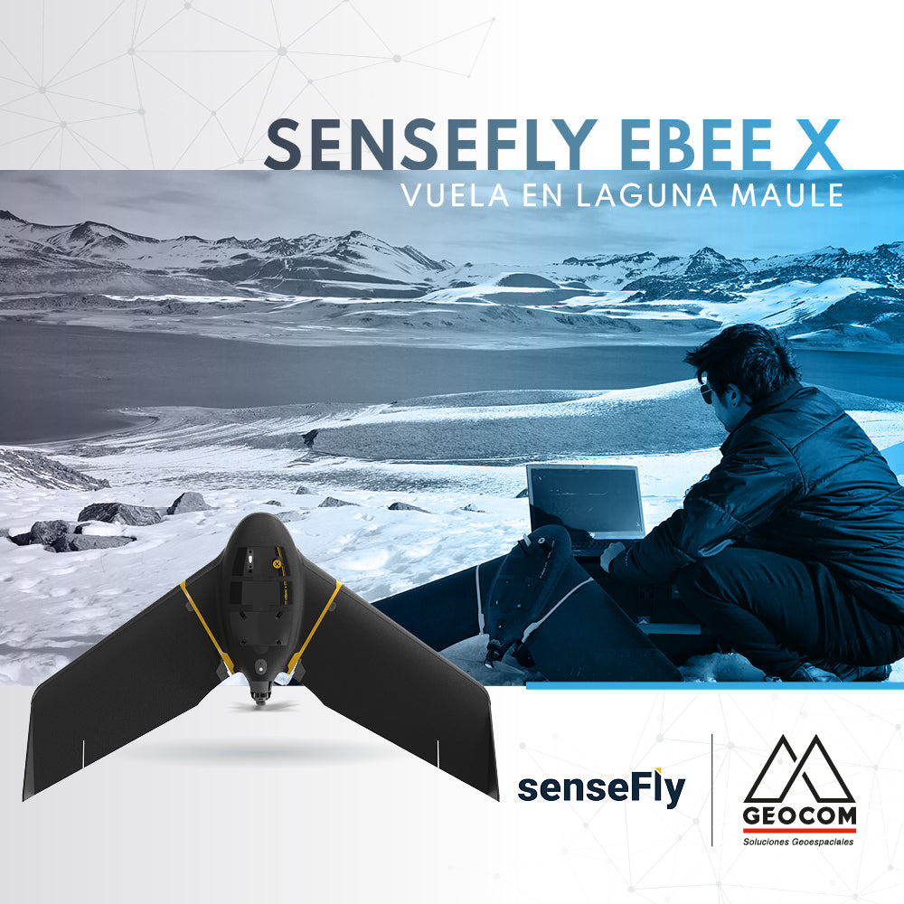
senseFly eBee X flies in Laguna del Maule
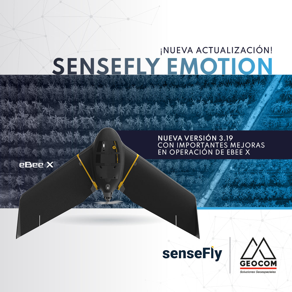
New update | senseFly eMotion 3.19
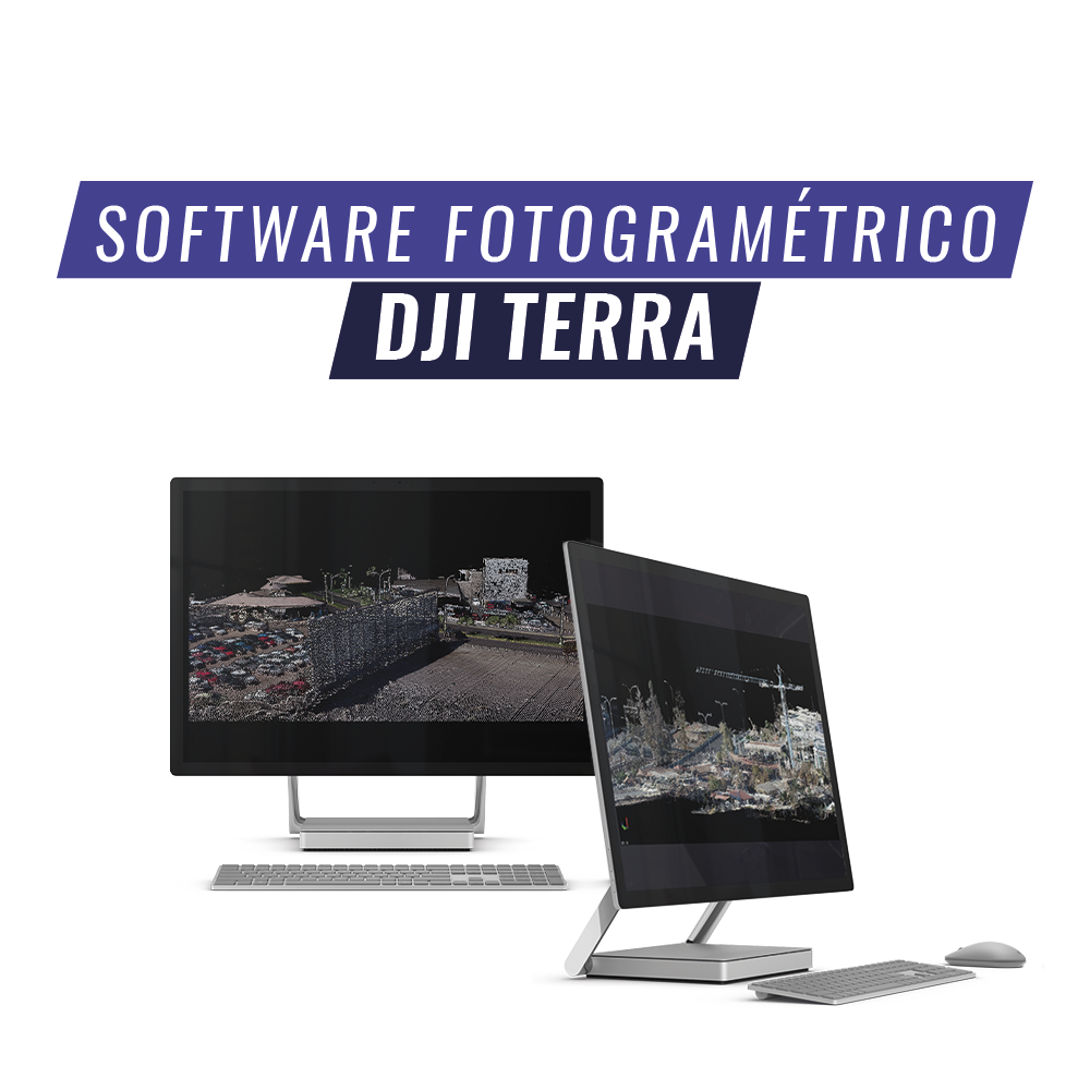
DJI Terra is an AI-powered mapping and processing platform that enables capture, analysis, and visualization. Its all-in-one solution helps industry users improve the efficiency of an entire workflow.