

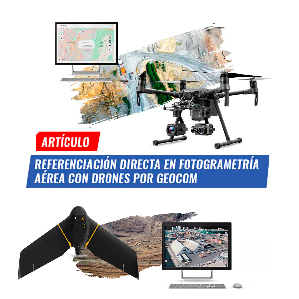
Direct Georeferencing in aerial photogrammetry with drones by GEOCOM
Photogrammetry has contributed greatly to data acquisition for topographic representation at various scales. Clearly, UAS (Unmanned Aerial Systems), better known as drones.
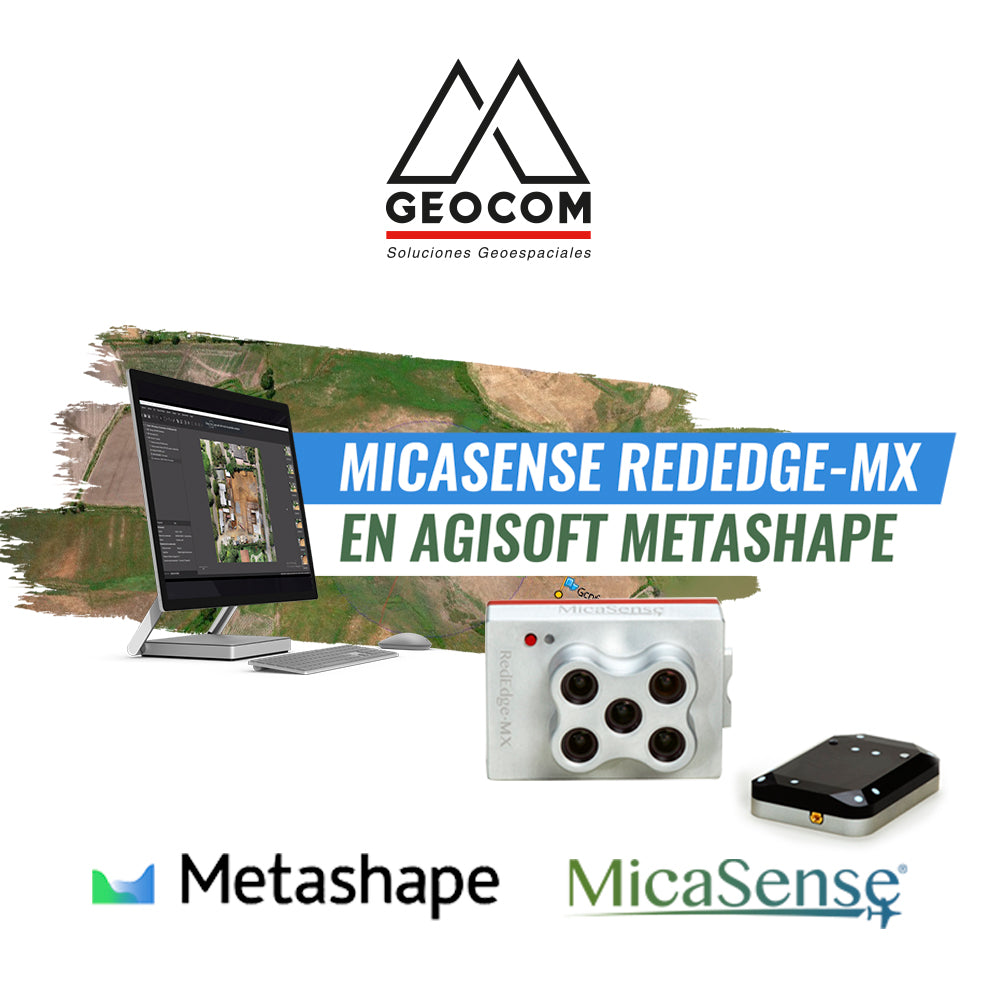
MicaSense RedEdge-MX in Agisoft Metashape | GEOCOM
MicaSense RedEdge-MX is a powerful multispectral camera that captures 5 spectral bands.