


SkyVisor - Wind Turbine Inspection Guide
If you are managing a wind farm, why not invest a fraction of that investment to ensure maximum uptime and efficiency?
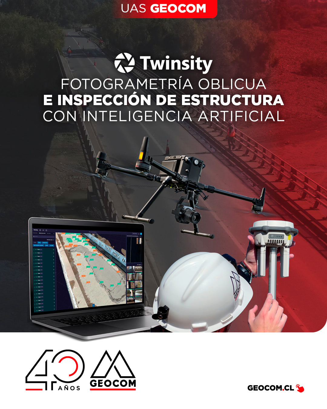
Oblique Photogrammetry and AI-powered Structure Inspection
Can you imagine inspecting a bridge with maximum precision and in less time? This is how we worked on the Naltahua bridge, where we combined the use of the Matrice 300 RTK with the Zenmuse P1 sensor, DJI Terra, and Twinspect's artificial intelligence.

NEW DJI MATRICE 400 | Intelligent and Efficient Long-Endurance Aerial Missions
GEOCOM is pleased to announce the availability of the DJI Matrice 400, the most advanced professional drone in the industry. The new standard for long-duration intelligent aerial missions is now available in the Chilean market.
![Representación topográfica a partir de fotogrametría aérea [04 CICLO TBC]](http://www.geocom.cl/cdn/shop/articles/post_ig_ciclo_TBC4.jpg?v=1749581294&width=1080)
Topographic Representation from Aerial Photogrammetry [04 TBC CYCLE]
POST 04 | TBC CYCLE | GEOCOM Engineering
Trimble Business Center offers a number of advantages when it comes to managing the calculation of data from geometric leveling, total stations, GNSS, laser scanners, drones (photographs and LiDAR) and point clouds.
![[Evento Workshop 📍 CALAMA] Drones en el mundo geoespacial](http://www.geocom.cl/cdn/shop/articles/POST-IG_workshop_calama-Drones_en_el_mundo_geoespacial_069de5a8-1015-412b-a1f4-d31a5f2847a5.jpg?v=1751472852&width=1080)
[Workshop Event 📍 CALAMA] Drones in the geospatial world
Thank you, CALAMA!
Last Wednesday, June 18, a new "UAS & Drones in the Geospatial World" Workshop, organized by GEOCOM, was held at the Hotel Diego de Almagro.
![Representación topográfica en TBC [01 CICLO TBC]](http://www.geocom.cl/cdn/shop/articles/post_ig_ciclo_TBC1_47d4cfed-4ef8-4b97-9369-3526de5313c6.jpg?v=1746040063&width=1080)
Topographic Representation in TBC [01 TBC CYCLE]
PUBLICATION 01 | TBC CYCLE | GEOCOM Engineering
TBC allows for a convenient combination of geospatial observation techniques with the goal of delivering results obtained under a single platform, optimizing the office workflow.

Thank you, Antofagasta! Drones in the Geospatial World
Last Thursday, March 27, the "UAS & Drones in the Geospatial World" workshop, organized by GEOCOM, took place at the Hotel Florencia Suites in Antofagasta.
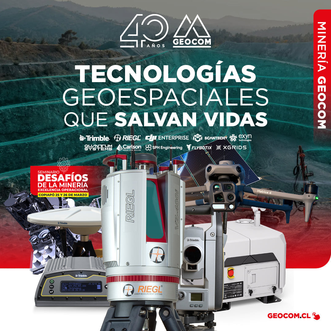
GEOCOM: Technological Innovation for Mining Safety in Copiapo
On March 22 and 23, GEOCOM actively participated in the seminar "Mining Challenges: Operational Excellence," an event organized by the Industrial Journalistic Group in the city of Copiapó.
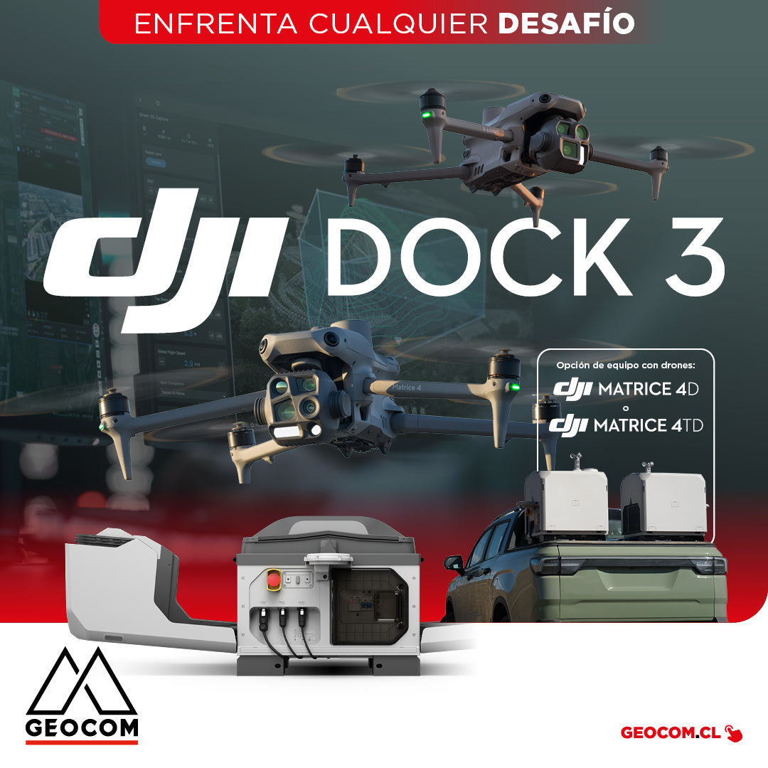
DJI Dock 3 offers a comprehensive Autonomous Drone solution for 24/7 remote operations
DJI Dock 3, the company's first Autonomous Drone solution that allows vehicle mounting, facilitating 24/7 remote operations in diverse environments.
![[Antofagasta] Workshop UAS | Drones en el mundo geoespacial](http://www.geocom.cl/cdn/shop/articles/post_web_workshop_antofagasta-Drones_en_el_mundo_geoespacial_9f7a0124-2efc-42fd-9f8d-5cfba7d88910.jpg?v=1739886671&width=1080)
[Antofagasta] UAS Workshop | Drones in the geospatial world
THURSDAY, MARCH 27 / 09:00 AM TO 01:30 PM / HOTEL FLORENCIA SUITES
In this workshop, we will review the latest developments in the UAS & Drones portfolio and provide tools to improve workflows and product quality.
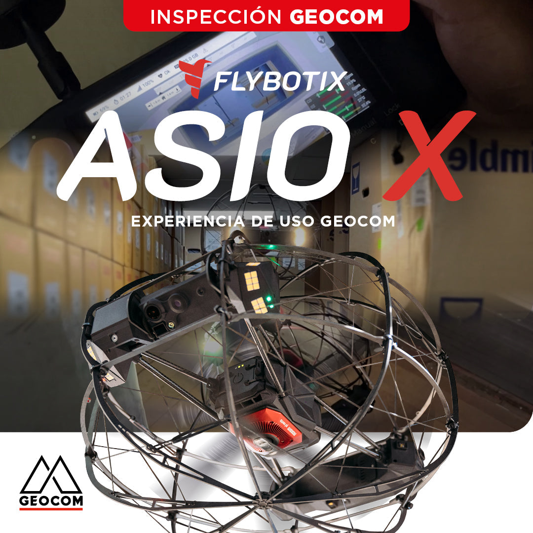
Flybotix ASIO X: GEOCOM User Experience
GEOCOM strengthens its commitment to technological innovation by welcoming Alejandro Quidiello, Flybotix Test and Quality Engineer, to its facilities. Quidiello provided comprehensive training on the ASIO X inspection drone system.
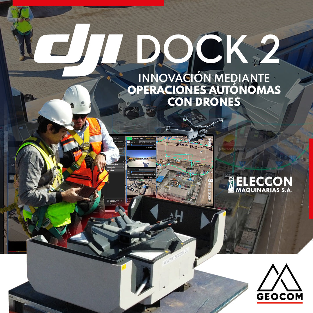
DJI Drones | Innovation Through Autonomous Drone Operations
In 2024, they have taken a very important step in innovation by acquiring the DJI Dock 2 with the Matrice 3D drone for photogrammetry and inspection with visible light.
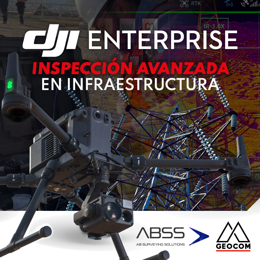
DJI Drones | Advanced infrastructure inspection
DJI drones have revolutionized inspections thanks to their advanced technology and versatility. These systems can be equipped with different types of high-resolution sensors (primarily RGB and thermal), which allow for capturing highly detailed photos and videos of various elements.
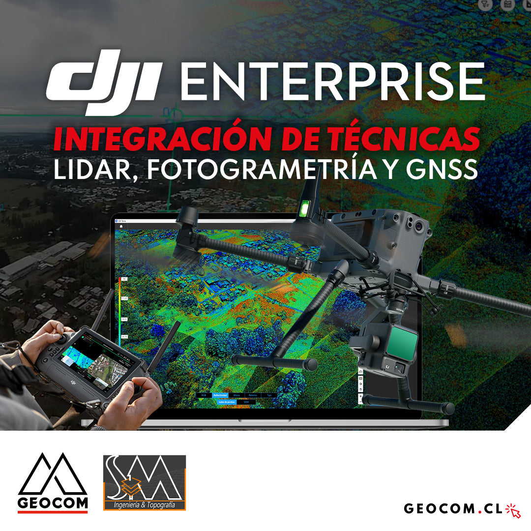
DJI Drones | Integration of LiDAR, Photogrammetry, and GNSS Techniques
Success story, where a project was executed integrating different geospatial capture techniques, using a DJI M350 drone with two sensors: Zenmuse P1 for photogrammetry and Zenmuse L2 for LiDAR. In this article, we will review the key points that made the use of both sensors necessary to provide a more representative and accurate capture of the area.
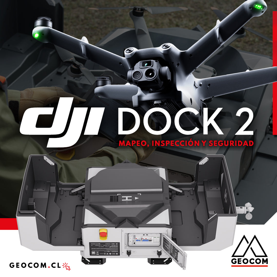
DJI Dock 2: Mapping, Inspection, and Security