


The drone revolution in inspection tasks
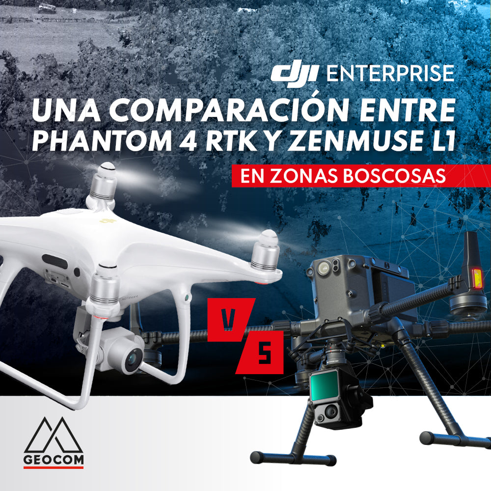
A comparison between Phantom 4 RTK and Zenmuse L1 in wooded areas
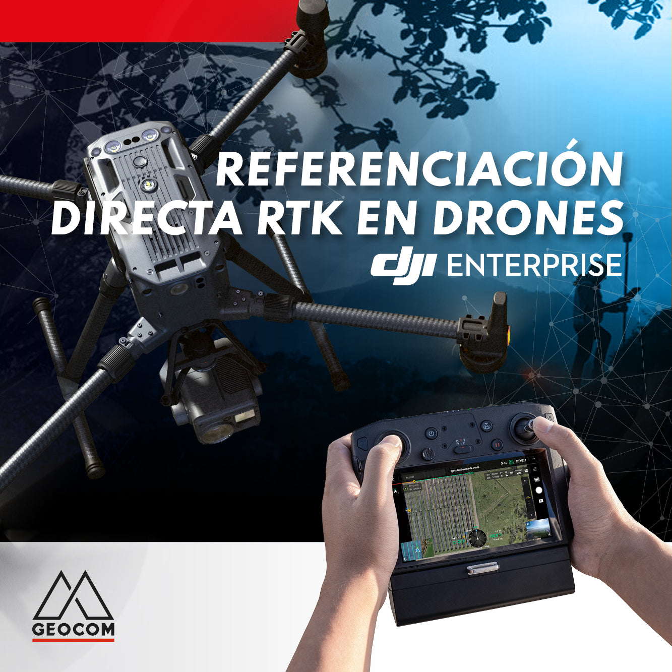
RTK DIRECT GEOTAGGING IN DRONES
A turning point occurred in 2015 with the arrival of the first drones with direct PPK georeferencing, which, through post-processing, allowed for obtaining precise coordinates of photographs without the need for ground control points and without sacrificing accuracy.

OPINION COLUMN | Drones for Photogrammetry, Evolution, and Operational Safety
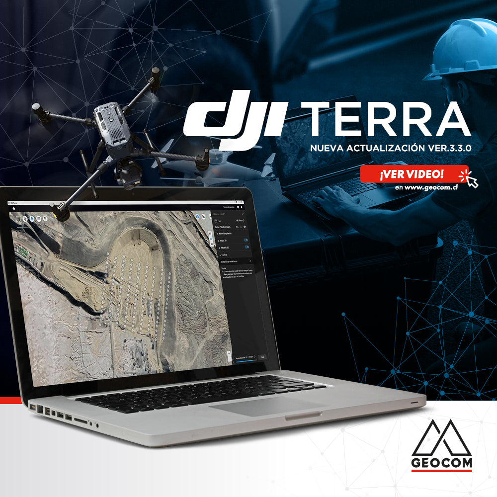
Learn about the new features in the latest version of DJI Terra 3.3.0

Using DJI Drones in the Solar Energy Revolution
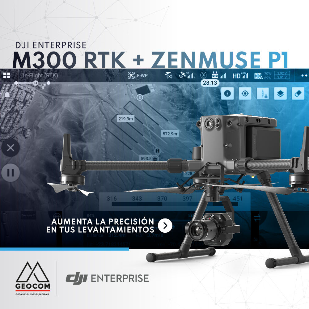
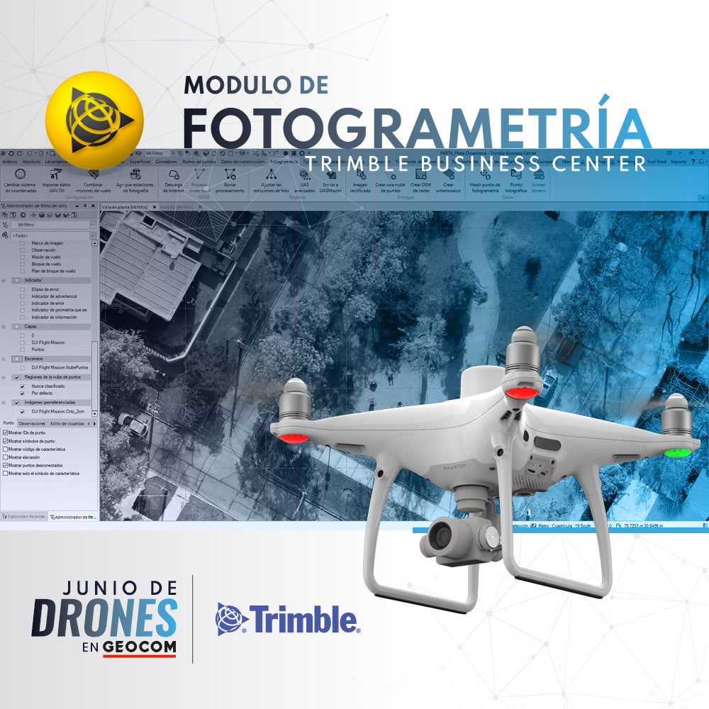
DJI M300 RTK + Zenmuse P1: Increase Accuracy in Your Surveys
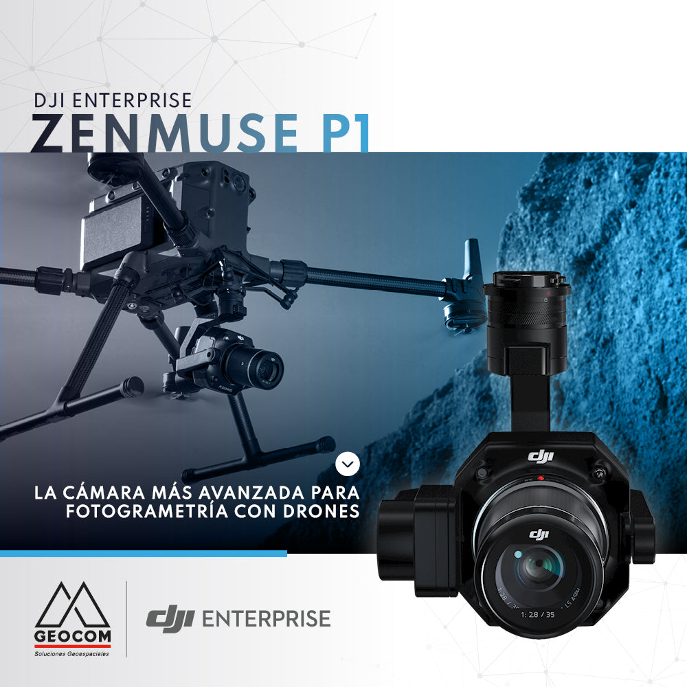
DJI Zenmuse P1, the most advanced drone photogrammetry camera
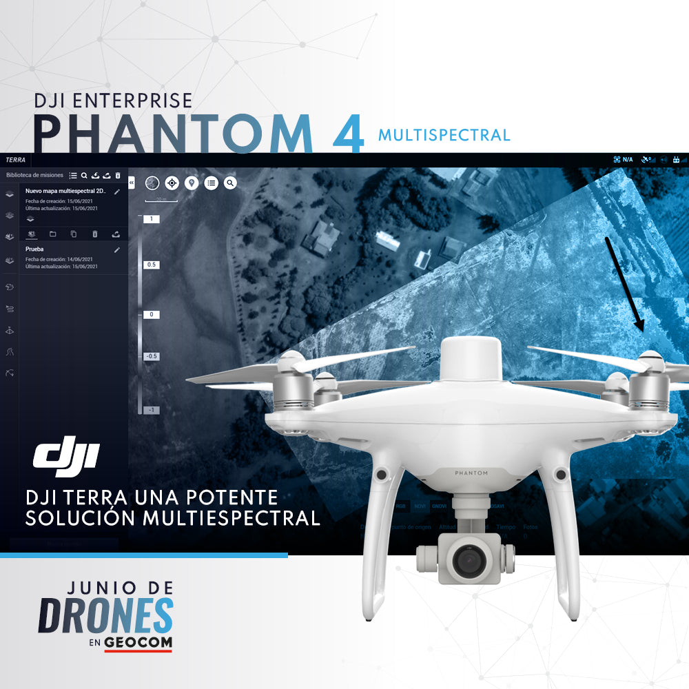
P4 Multispectral + DJI Terra: A Powerful Multispectral Solution

UAS News | THERMAL SENSORS: REAL-TIME INSPECTION
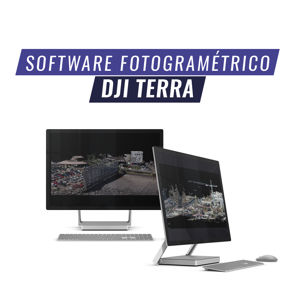
DJI Terra is an AI-powered mapping and processing platform that enables capture, analysis, and visualization. Its all-in-one solution helps industry users improve the efficiency of an entire workflow.

Phantom 4 Multispectral Drone DJI Enterprise
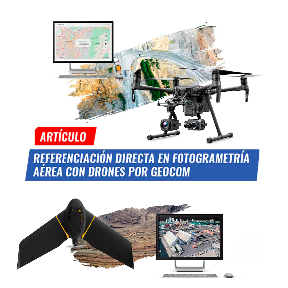
Direct Georeferencing in aerial photogrammetry with drones by GEOCOM