


Trimble GNSS and its combination with DJI
The georeferencing of photogrammetric products is a key aspect for their use in different applications, allowing for the maintenance of a unique reference that enables robust and accurate multi-temporal analysis.
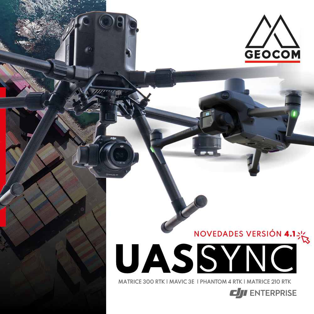
News new version 4.1 UAS Sync Geocom
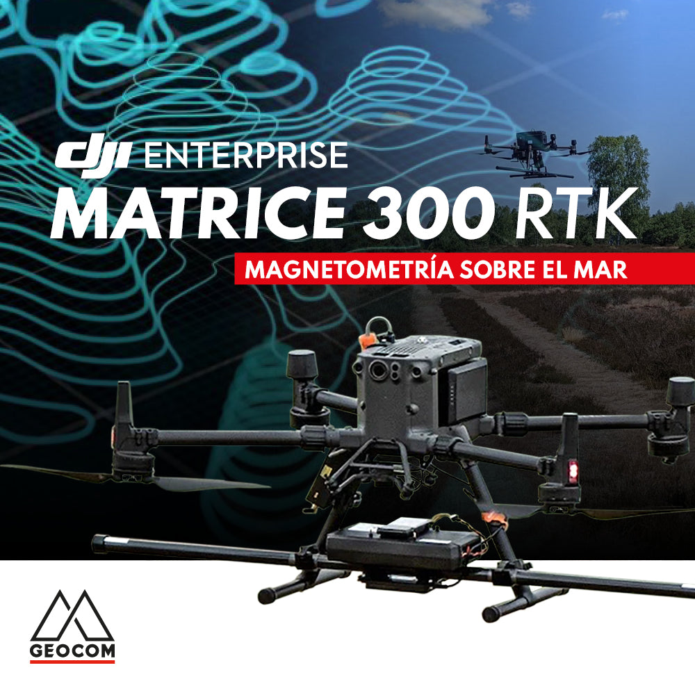
DJI MATRICE 300 RTK | SEA MAGNETOMETRY

A comparison between Phantom 4 RTK and Zenmuse L1 in wooded areas

RTK DIRECT GEOTAGGING IN DRONES
A turning point occurred in 2015 with the arrival of the first drones with direct PPK georeferencing, which, through post-processing, allowed for obtaining precise coordinates of photographs without the need for ground control points and without sacrificing accuracy.

senseFly eBee X Replacement Campaign
Avoid buying spare parts and get an entirely new drone by taking advantage of this unique trade-in opportunity at a convenient price. Valid until March 31, 2022.

Using DJI Drones in the Solar Energy Revolution
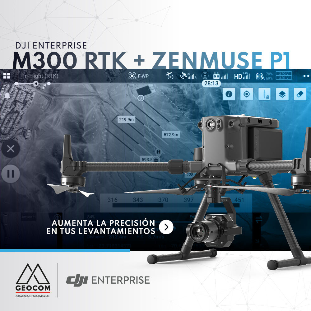
DJI M300 RTK + Zenmuse P1: Increase Accuracy in Your Surveys

P4 Multispectral + DJI Terra: A Powerful Multispectral Solution


New update | senseFly eMotion 3.19
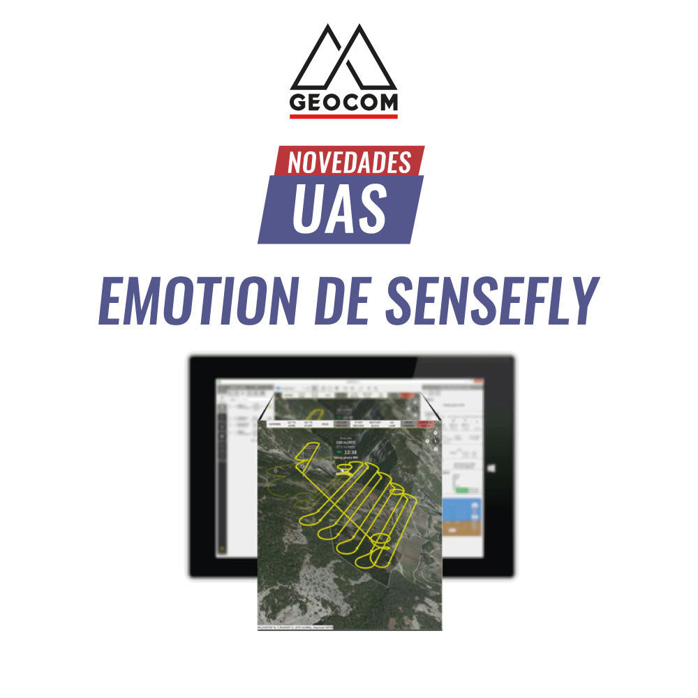
UAS News | eMotion by senseFly
Meet senseFly's eMotion software
eMotion is an advanced, reliable, and intuitive multi-platform that simplifies the entire operation workflow—from flight planning to PPK trajectory processing—of the eBee X.

UAS News | THERMAL SENSORS: REAL-TIME INSPECTION

Phantom 4 Multispectral Drone DJI Enterprise