News

Experiencia Multi-SLAM XGRIDS L2 Pro con soporte montante para vehículo

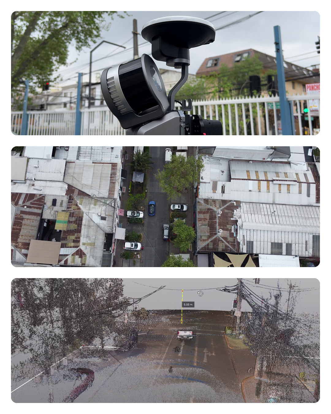
XGRIDS L2 Pro Multi-SLAM Experience with Vehicle Mount Support

Reality Capture technology takes a significant leap forward with the introduction of the new vehicle-mounted support for the XGRIDS Lixel L2 Pro system, a solution that transforms how surveys are conducted in infrastructure projects, urban mapping, and road corridors.

Read more

Concurso calendario GEOCOM 2026 ¡Participa!

GEOCOM 2026 Calendar Contest - Participate!

Geocom invites surveyors, geomensurers, and geospatial professionals to participate in the new edition of the 2026 Calendar Contest, where your best field work photos can become an inspiration for the entire community.

Participate until Sunday, November 23, 2025!

Read more

¡CONCURSO! 📷 CALENDARIO GEOCOM 2025

CONTEST! 📷 GEOCOM CALENDAR 2025

We have exciting news for you! Geocom is pleased to announce the new edition of our famous 2025 Calendar Contest. This is your chance to showcase your photographic skills and field experience, and win amazing prizes!

Read more

Trimble GNSS y su combinación con DJI

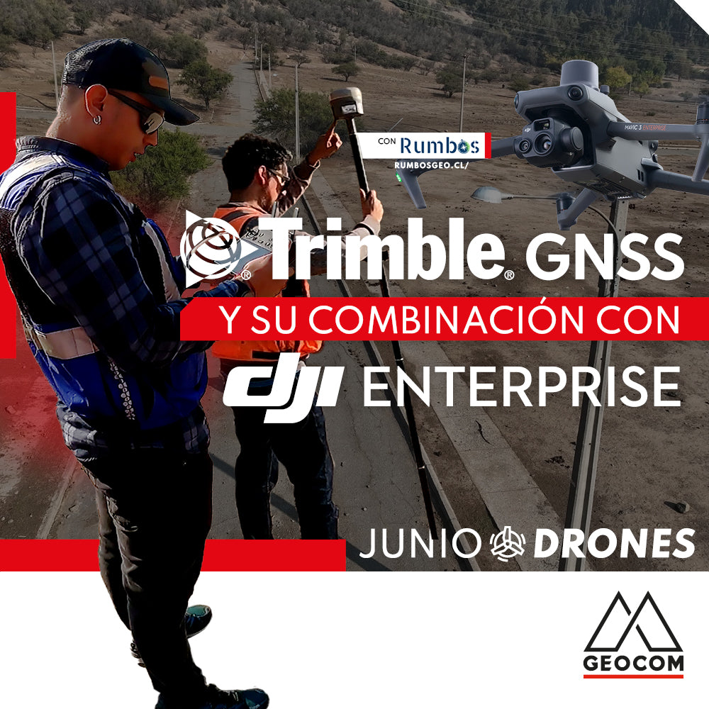
Trimble GNSS and its combination with DJI

The georeferencing of photogrammetric products is a key aspect for their use in different applications, allowing for the maintenance of a unique reference that enables robust and accurate multi-temporal analysis.

Read more

Nueva actualización Trimble Access 2022.00

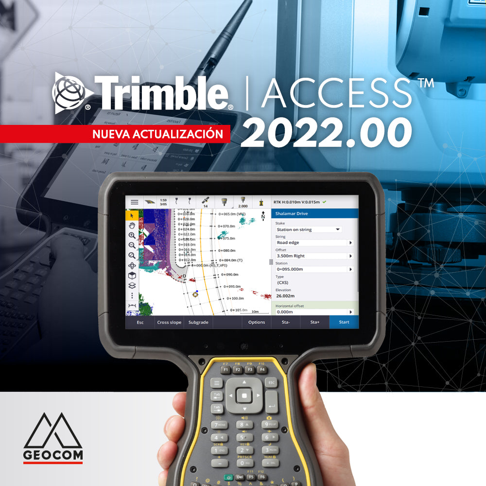
New Trimble Access 2022.00 Update

Discover all the new features of the new Trimble Access 2022.00 update

Read more

LEVANTAMIENTOS TOPOGRÁFICOS MÓVILES EN GRANDES PROYECTOS DE INFRAESTRUCTURA

MOBILE TOPOGRAPHIC SURVEYS IN LARGE INFRASTRUCTURE PROJECTS

GEOCOM was featured in the latest December 2020 edition of En Concreto magazine, among whose main topics was the reconstruction of the Cautín railway bridge, an infrastructure project in which we participated with mobile laser scanner technology.

Read more

Noticias UAS | Procesamiento de trayectoria de vuelo en eMotion

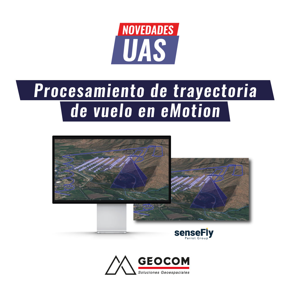
UAS News | Flight Path Processing in eMotion

Flight path processing in eMotion Direct Georeferencing The SenseFly eBee X features a high-precision GNSS receiver, which provides precise positioning at all times through RTK and/or PPK positioning.

Read more

SENSORES TÉRMICOS: INSPECCIÓN EN TIEMPO REAL

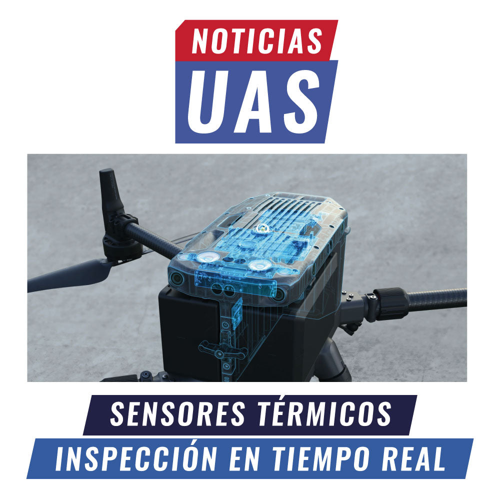
UAS News | THERMAL SENSORS: REAL-TIME INSPECTION

Currently, remote sensing monitoring at the local scale is increasing exponentially. This is due to great technological advances in recent years and the emergence of unmanned aerial systems as working tools in photogrammetric surveys and/or real-time visual inspection, along with their ability to carry a variety of sensors.

Read more

Reapertura Casa Matriz | GEOCOM

GEOCOM Headquarters Reopening

With the Ministry of Health's announcement of the lifting of the quarantine in the municipality of Providencia, we inform you that our main office at Av. Salvador 1105 will reopen its doors on Monday, April 13.

Read more

Cierre temporal Casa Matriz | GEOCOM

Temporary Closure of Headquarters | GEOCOM

Dear clients and collaborators, Given the recent declaration of total quarantine by the Ministry of Health in the Municipality of Providencia, we announce the closure of our headquarters.

Read more

AJUSTE DE LA RED GNSS GEOCOM 2019.91

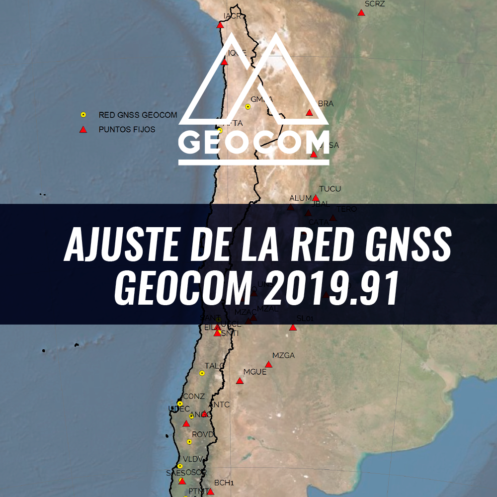
GEOCOM GNSS Network Adjustment 2019.91

The GEOCOM GNSS Network is a satellite positioning initiative that provides support infrastructure for Trimble receivers that observe code and phase in post-processing and real-time applications.

Read more

Trimble SiteVision | Realidad aumentada para la construcción

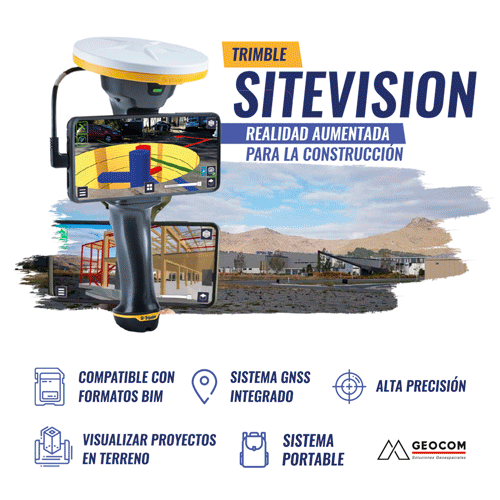
Trimble SiteVision | Augmented reality for construction

Sitevision is a portable, high-precision Augmented Reality system for construction that allows users to visualize projects on-site and bring them to life thanks to the high precision of its integrated GNSS system.

Read more

DATOS GEOESPACIALES PARA EL BIM, CONTRASTANDO LA REALIDAD CON EL DISEÑO

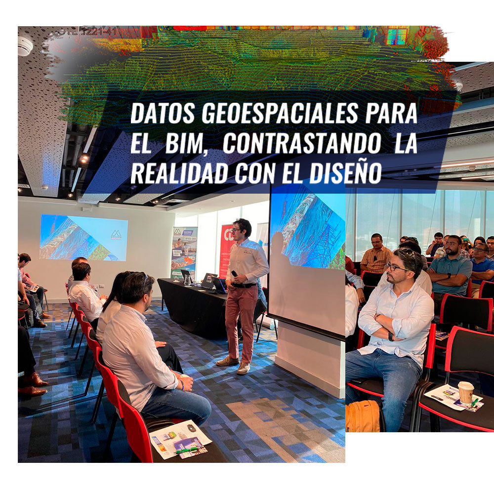
GEOSPATIAL DATA FOR BIM, CONTRASTING REALITY WITH DESIGN

With a large turnout, we held our first event of the year on BIM on Thursday, January 23, together with BIM Forum.

Read more

APLICACIONES DE LA FOTOGRAMETRÍA AÉREA EN MINERÍA: EXPERIENCIAS A PARTIR DEL USO DE DRONES

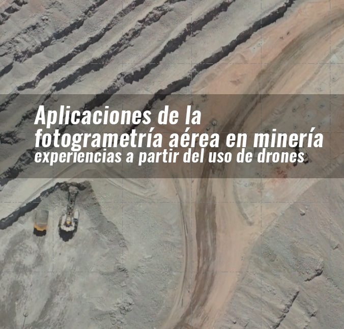
APPLICATIONS OF AERIAL PHOTOGRAMMETRY IN MINING: EXPERIENCES FROM THE USE OF DRONES

Photogrammetry is a reliable measurement and interpretation technique using photographs. In mining, photogrammetry has enabled the massive three-dimensional representation of open pits, as well as industrial plants and facilities for a variety of purposes.

Read more

RE-INSTALAN IMPORTANTE ESTACIÓN GEODÉSICA PARA EL MONITOREO DE TERREMOTOS EN LA UNIVERSIDAD DE CONCEPCIÓN

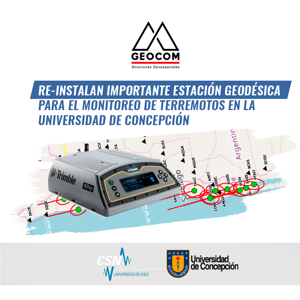
IMPORTANT GEODETIC STATION FOR EARTHQUAKE MONITORING REINSTALLED AT THE UNIVERSITY OF CONCEPCIÓN

On November 21, 2019, at the facilities of the former TIGO (Transportable Integrated Geodesical Observatory) integrated Geodetic station, currently located in Argentina (AGGO), on the grounds of the University of Concepción...

Read more