

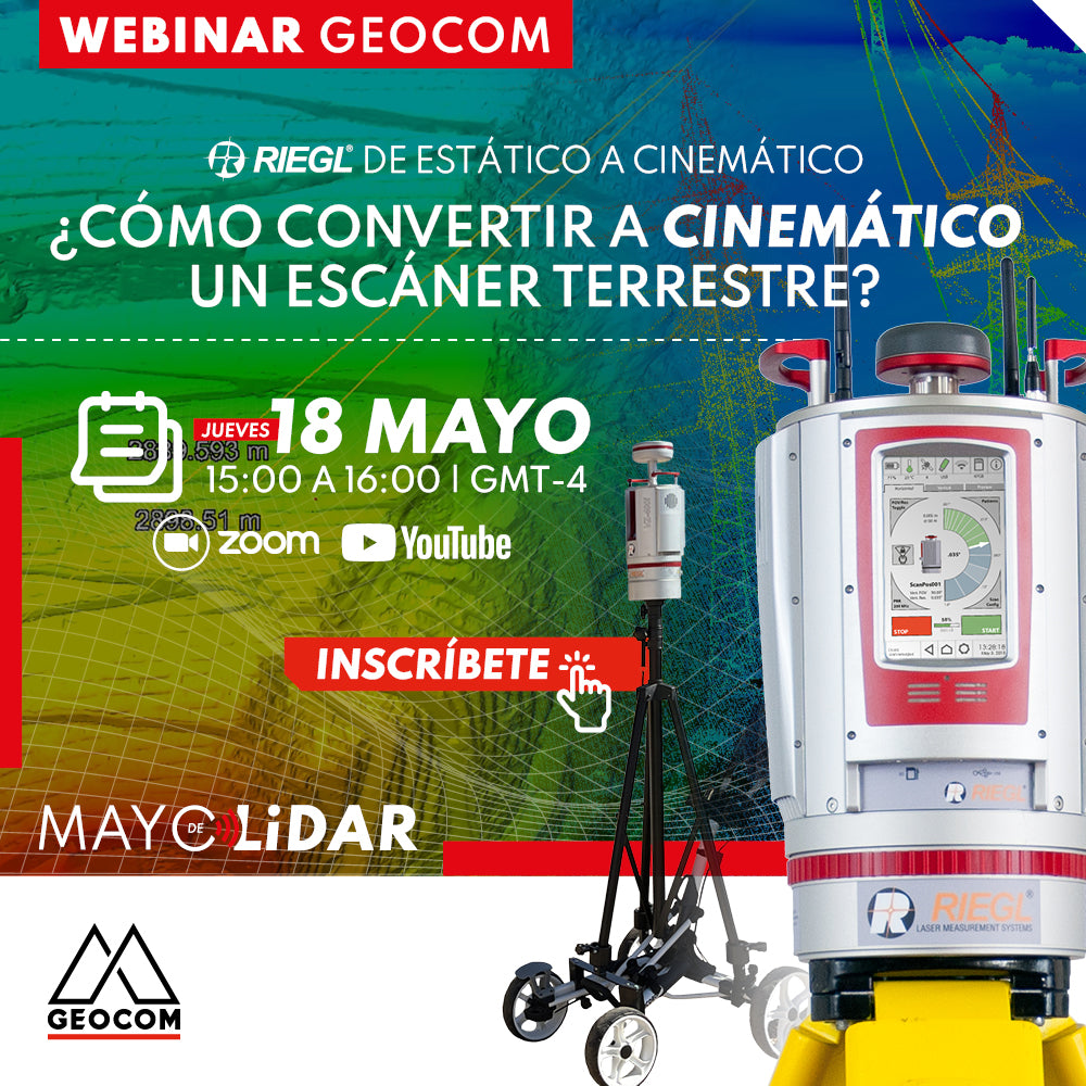
RIEGL LiDAR Webinar | How to Convert a Terrestrial Scanner to Kinematic?
NOW AVAILABLE! | GEOCOM.CL AND YOUTUBE LIVE
In this webinar, we will review the complete capture workflow, which incorporates a RIEGL RTK GNSS receiver allowing for precise positioning throughout the entire route.
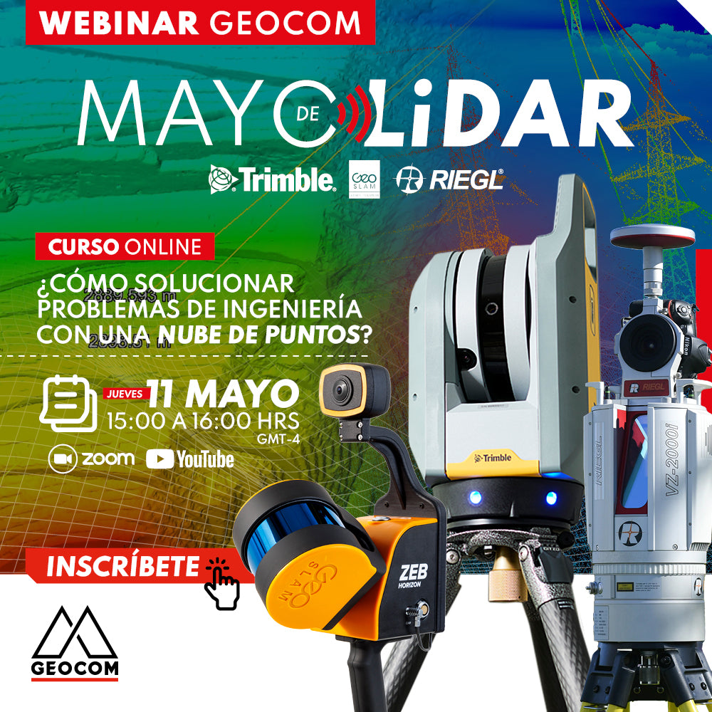
LiDAR Webinar | How to solve engineering problems with a point cloud?
NOW AVAILABLE! | GEOCOM.CL AND YOUTUBE
LiDAR technology and its correct implementation can be key allies in achieving high standards of productivity, representativeness, and quality of results.
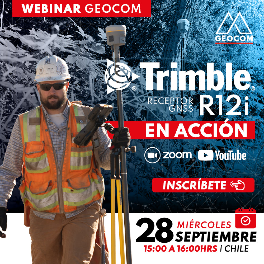
Webinar | Trimble R12i in action
NOW AVAILABLE! | Geocom.cl & YouTube
Join us in this webinar to review some R12i applications in different industries.
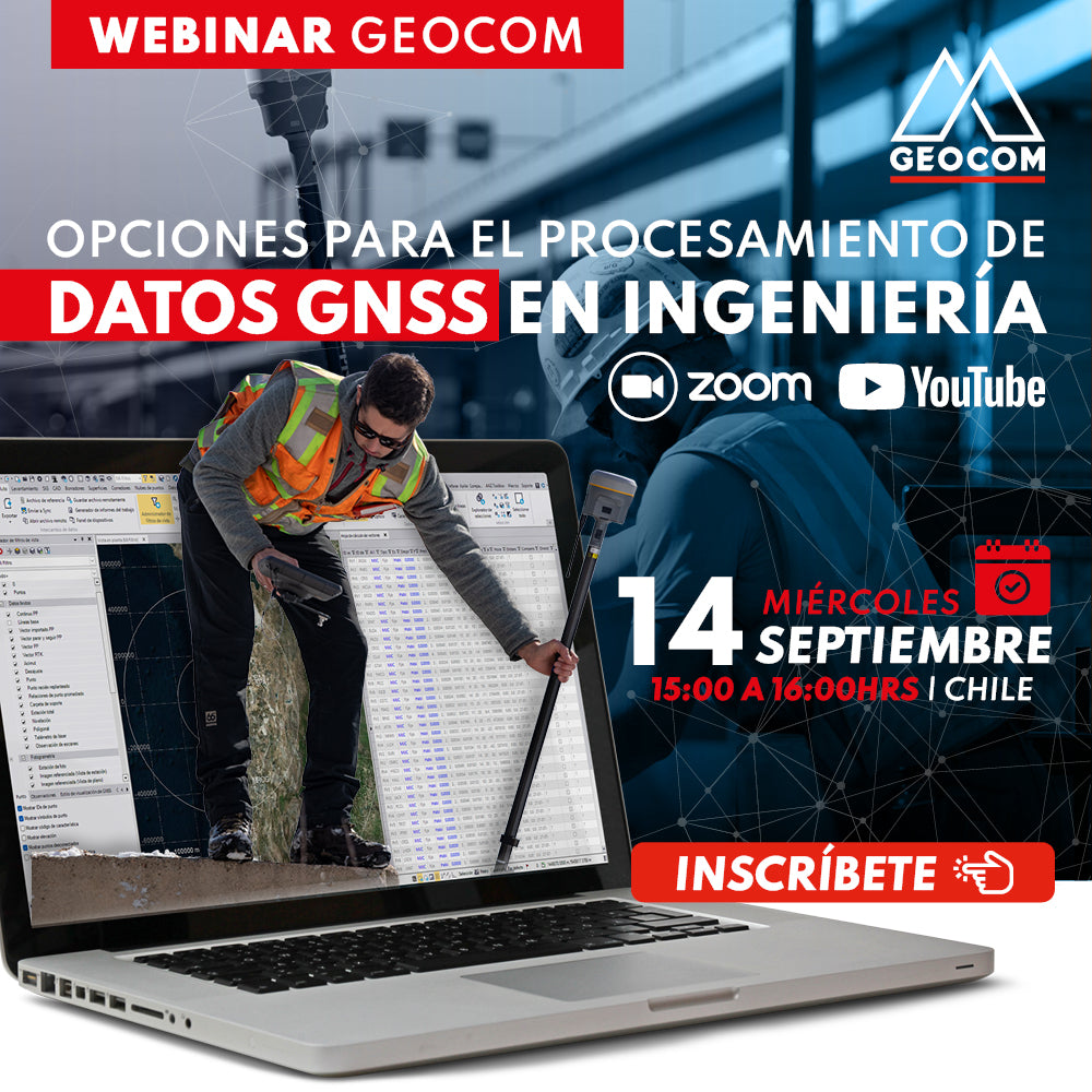
Webinar | Options for GNSS Data Processing in Engineering
WATCH NOW! | Geocom and YouTube
Introduction to the main GNSS data processing strategies in Trimble Business Center, with the aim of determining very high precision geodetic positions.

Webinar | Direct RTK Referencing in Drones
WATCH NOW! | Geocom.cl and YouTube
Boosting the use of direct RTK referencing in DJI systems, highlighting its main strengths and considerations for obtaining high-quality and precise products
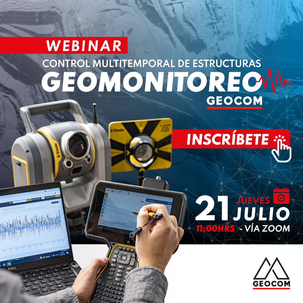
Webinar | Geomonitoring: Multitemporal Control of Structures
WATCH NOW! | Zoom – YouTube Live
Geomonitoring provides a large volume of heterogeneous data that, when made compatible, provides valuable information about the structural health of an engineering work or a natural structure.
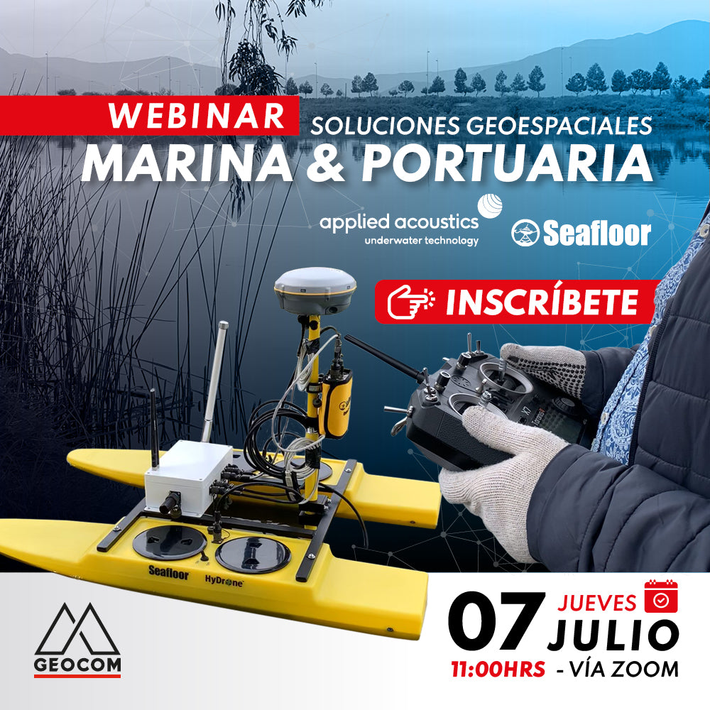
Webinar | Marine & Port Geospatial Solutions
Now available! |
The need to obtain seabed representation in hydrography projects is essential in every study project.
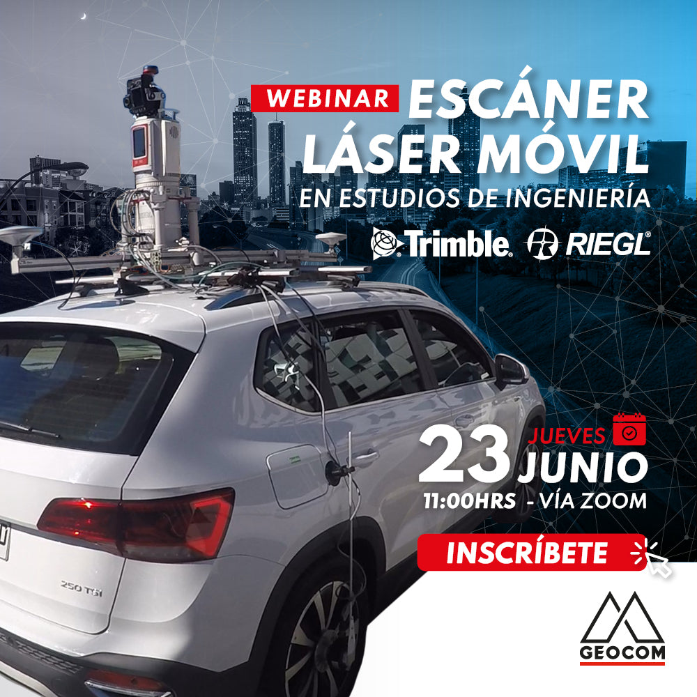
Webinar | Mobile Laser Scanning Application in Engineering Studies
Now available!
Mobile Mapping technology provides us with a faithful representation of reality and also allows us to capture data with equipment in motion.
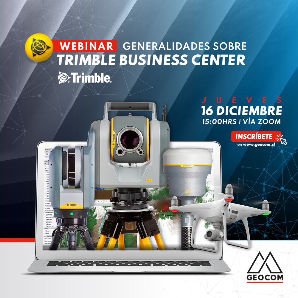
WEBINAR | Trimble Business Center Overview
Are you interested in software that centralizes a variety of geospatial observation instruments? Are you still working with geospatial data on different platforms?
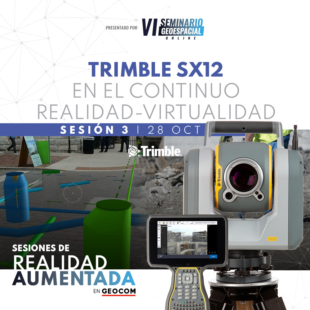
Webinar | Trimble SX12 in the Reality-Virtuality Continuum
Discover how high-precision positioning benefits from the use of 3D models in an augmented reality context.
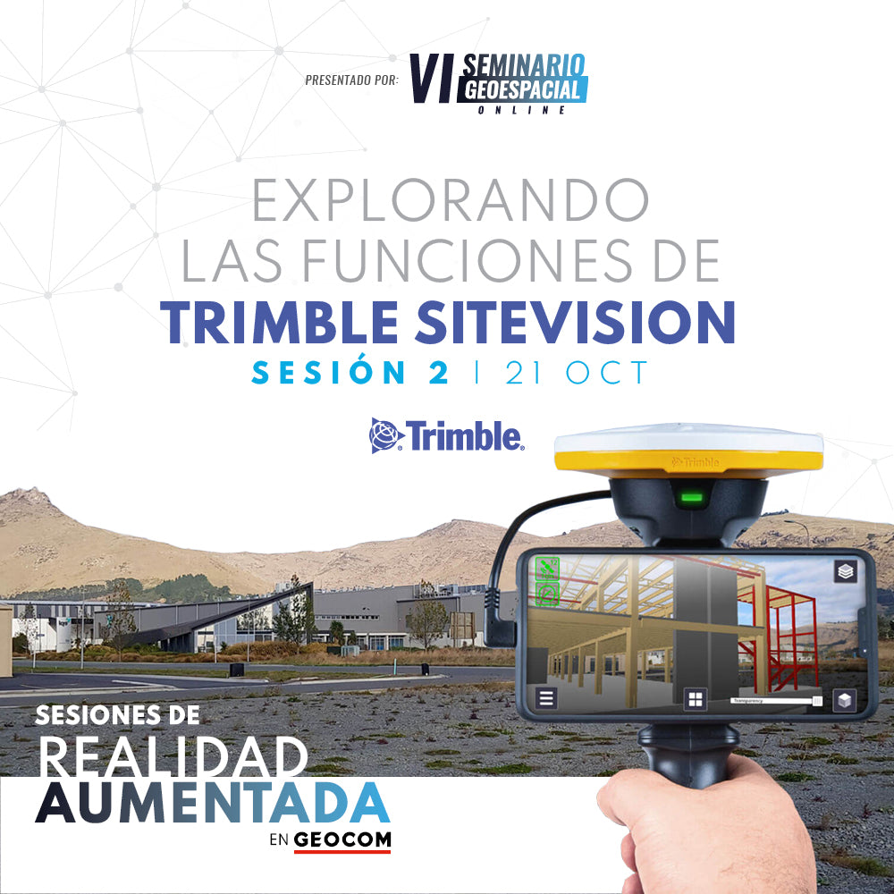
WEBINAR | Exploring the features of Trimble SiteVision
Understand how the integration of high-precision GNSS, an electronic distance meter, and the native sensors of a high-end smartphone will allow you to solve problems associated with the execution of an engineering project.
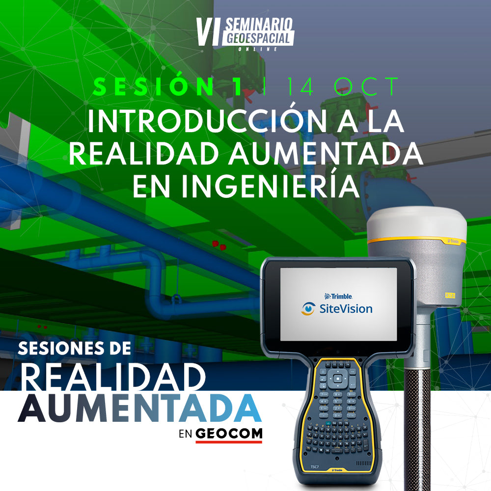
WEBINAR | INTRODUCTION TO AUGMENTED REALITY IN ENGINEERING
In this presentation, we invite you to familiarize yourself with the concept of augmented reality and the tools currently available.
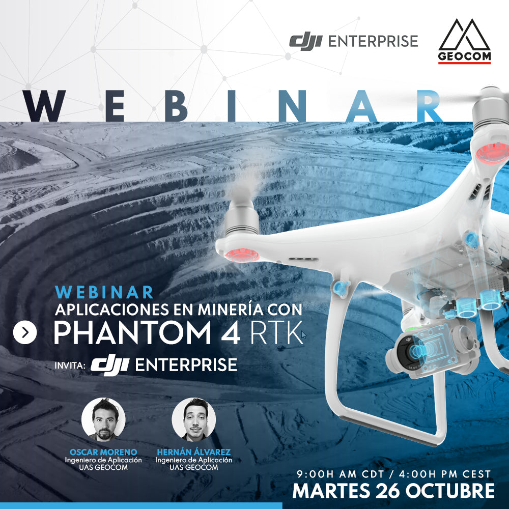
Mining Applications with DJI Phantom 4 RTK
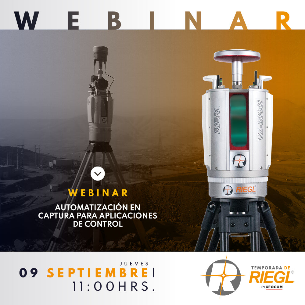
Webinar | Automation in Capture for Geospatial Control Applications
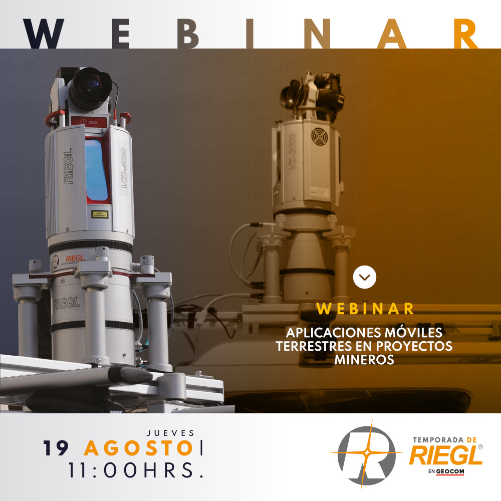
Webinar | RIEGL Terrestrial Mobile Applications in Mining Projects