

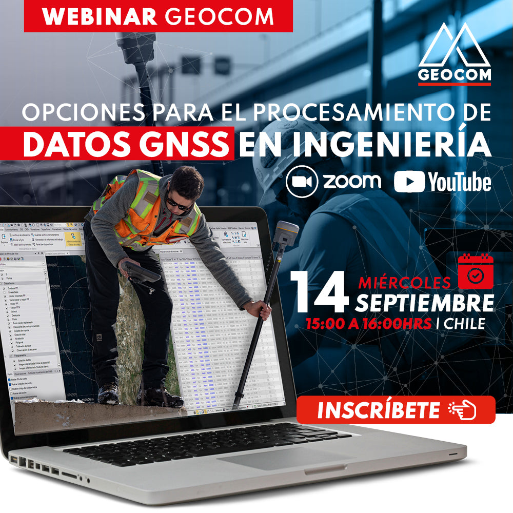

GNSS data processing is a crucial activity for the various stages of engineering projects. An adequate geodetic reference framework allows for the efficient development of all operational aspects of an engineering work.
The motivation for this webinar is to provide an introduction to the main strategies for GNSS data processing in Trimble Business Center with the aim of determining geodetic positions of the highest precision.

 WEDNESDAY SEPTEMBER 14TH | 11:00 AM TO 12:00 PM - CHILE | VIA ZOOM & YOUTUBE LIVE
PROGRAM
| ⨭ Trimble RTX |
| ⨭ SIRGAS-Chile 2021.00: calculation considering SIRGAS stations |
| ⨭ When to use precise orbits? |
| ⨭ Network adjustment up to 200 km |
| ⨭ Network adjustment up to 500 km |
| ⨭ Network adjustment up to 1000 km |
INSTRUCTOR

Ariel Silva | Pre-sales and Support Manager Geocom
Geomatics Engineer and Master in Geomatics with experience in the application of geodesy, topography and photogrammetry in engineering works. He has worked in the mining industry directly in the operation of open pit mines, as well as in academia as a lecturer in several higher education institutions related to surveying and geomatics with a specialty in the adjustment of terrestrial and satellite geodetic observations.
At GEOCOM, he works as Support and Pre-sales Manager, leading a team of engineers dedicated to solving customer problems in the implementation of geotechnologies and also in their dissemination.

Compartir:
Webinar | Direct RTK Referencing in Drones
Webinar | Trimble R12i in action