

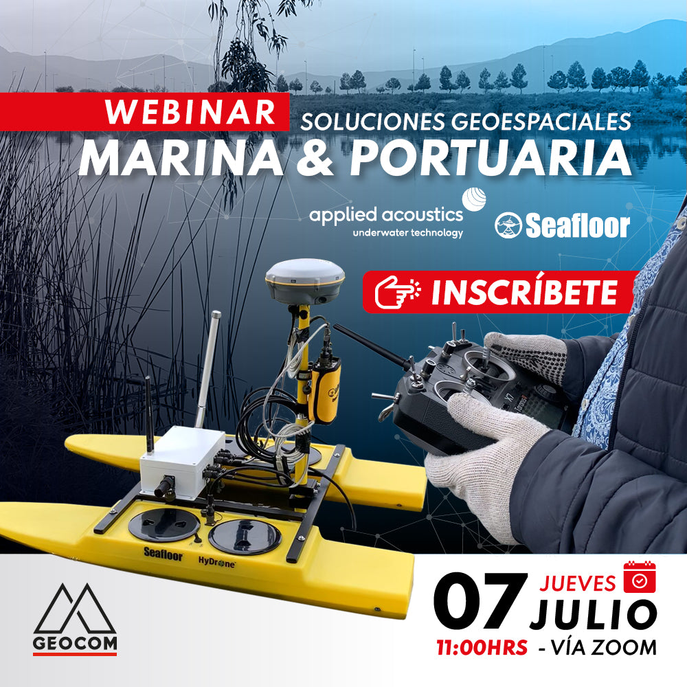
The need to obtain seabed representation in hydrography projects is fundamental in every study project. Thanks to current technology, which has given us greater independence in obtaining information in the field, as well as the incorporation of more sensors in manned and unmanned vessels and integration with topographic devices, we can obtain precise georeferenced information with rapid processes.
The choice of platform for measurements has expanded significantly, and we can choose depending on the scale of the project.
PROGRAM
| ⨭ Unmanned bathymetric systems. |
| ⨭ Workflow in an unmanned bathymetric system. |
| ⨭ Applications. |
| ⨭ USBL system and its characteristics. |
INSTRUCTORS

Osvaldo Neira | Laser Scanner Support Engineer Geocom
Execution Engineer in Geomatics with 13 years of experience, specialized in terrestrial LIDAR technology and unmanned aerial laser; previously worked in the Machinery Control area at GEOCOM.

Pablo Ortega | Mapping and Distributors Product Manager Geocom

Compartir:
Webinar | Mobile Laser Scanning Application in Engineering Studies
Webinar | Geomonitoring: Multitemporal Control of Structures