

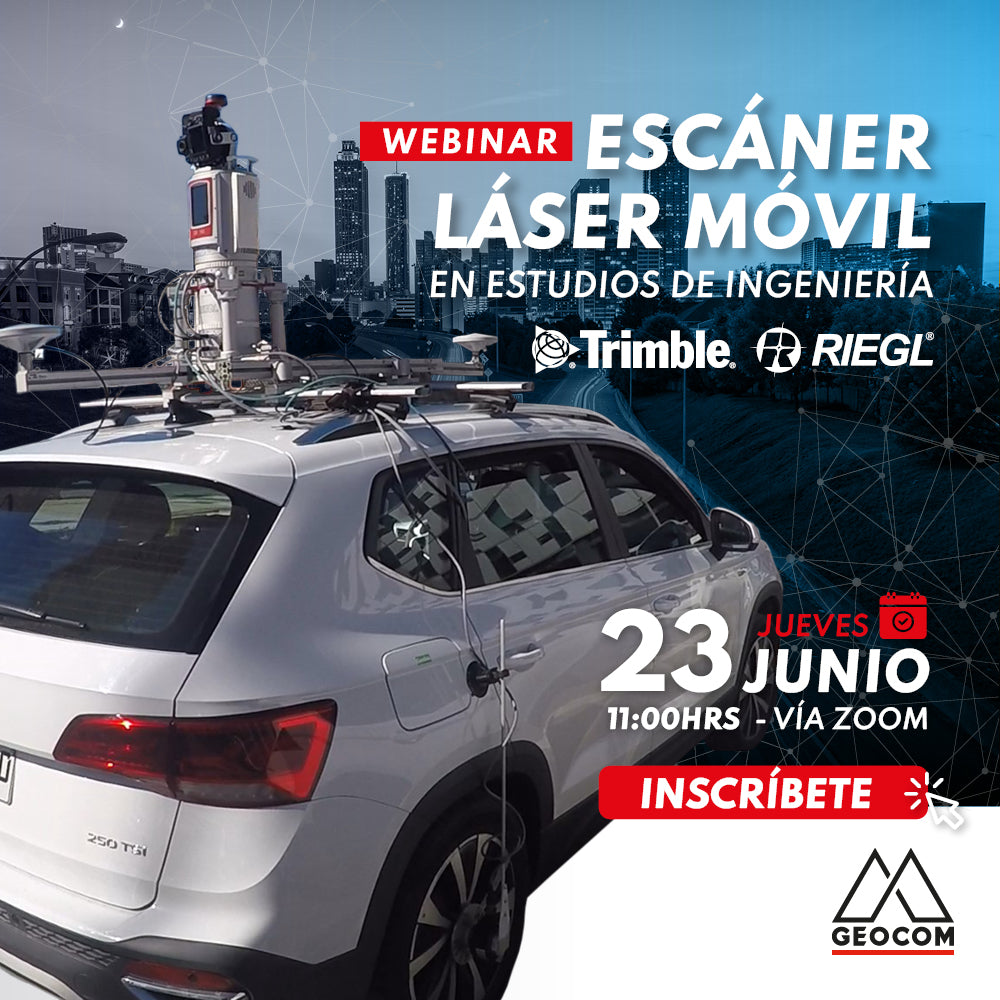
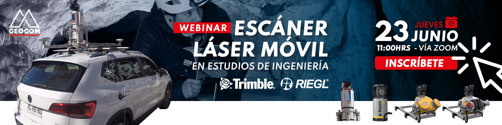
Capture techniques are constantly evolving towards the massive acquisition of geospatial data associated with mobile mapping technology, which has experienced great advances in recent years, incorporating high-end inertial sensors, high-precision GNSS receivers, LIDAR sensors, and cameras. This technology provides us with a faithful representation of reality and also allows us to perform captures with equipment in motion, which translates into significant help in surveying road projects applied to engineering studies, where it is necessary to capture extensive sections for pre-feasibility studies, road redesign, standard changes, asset inventory, among others.
AGENDA
| ⨭ Fundamentals of Mobile Mapping Systems |
| ⨭ Fundamentals of Capture and Processing with Mobile Mapping Systems |
| ⨭ Mobile Laser Scanner Application in Engineering Study Projects |
| ⨭ MOP Road Pilot Project |
| ⨭ Generation of Final Products Trimble Business Center |
INSTRUCTORS

José Carrasco | GNSS and Optical Solutions Specialist Geocom
Geomatics Engineering Executive from UTEM, specialist in geodesy and topography applied to mining infrastructure engineering projects. Experience in open-pit mine planning, geotechnics, assembly, and underground mining, participation in highway infrastructure projects, and part of the Hydrographic Survey Department team at SHOA. Extensive experience in geospatial solutions. Postgraduate diploma in tunnels and underground spaces from the University of Chile, and a diploma in ICT for university teaching from UTEM and UNAM. Since 2017, he leads the optical and GNSS Support area at GEOCOM.

José Salas | Laser Scanner Application Engineer Geocom
Geomatics Engineering Executive from the University of Santiago, Chile. With 8 years of experience, he has specialized in LiDAR technology for terrestrial, mobile terrestrial, and UAL (unmanned aerial laser) solutions, as well as point cloud processing software. He has extensive experience in the use of GNSS solutions.

Compartir:
WEBINAR | Trimble Business Center Overview
Webinar | Marine & Port Geospatial Solutions