


The integration of different geodetic and geotechnical observation technologies provides a large volume of heterogeneous data which, when harmonized, offers valuable information about the structural health of an engineering work or a natural structure. Geomonitoring addresses all the necessary stages for the development of projects that meet these characteristics and needs. With processed and available results, obtained automatically, it is possible to apply corrective actions on the analyzed structure, mainly actions related to risk control, construction integrity, and environmental protection, highlighting the control of slopes, dams, civil engineering works, mining, bridges, and landslide areas, among others.

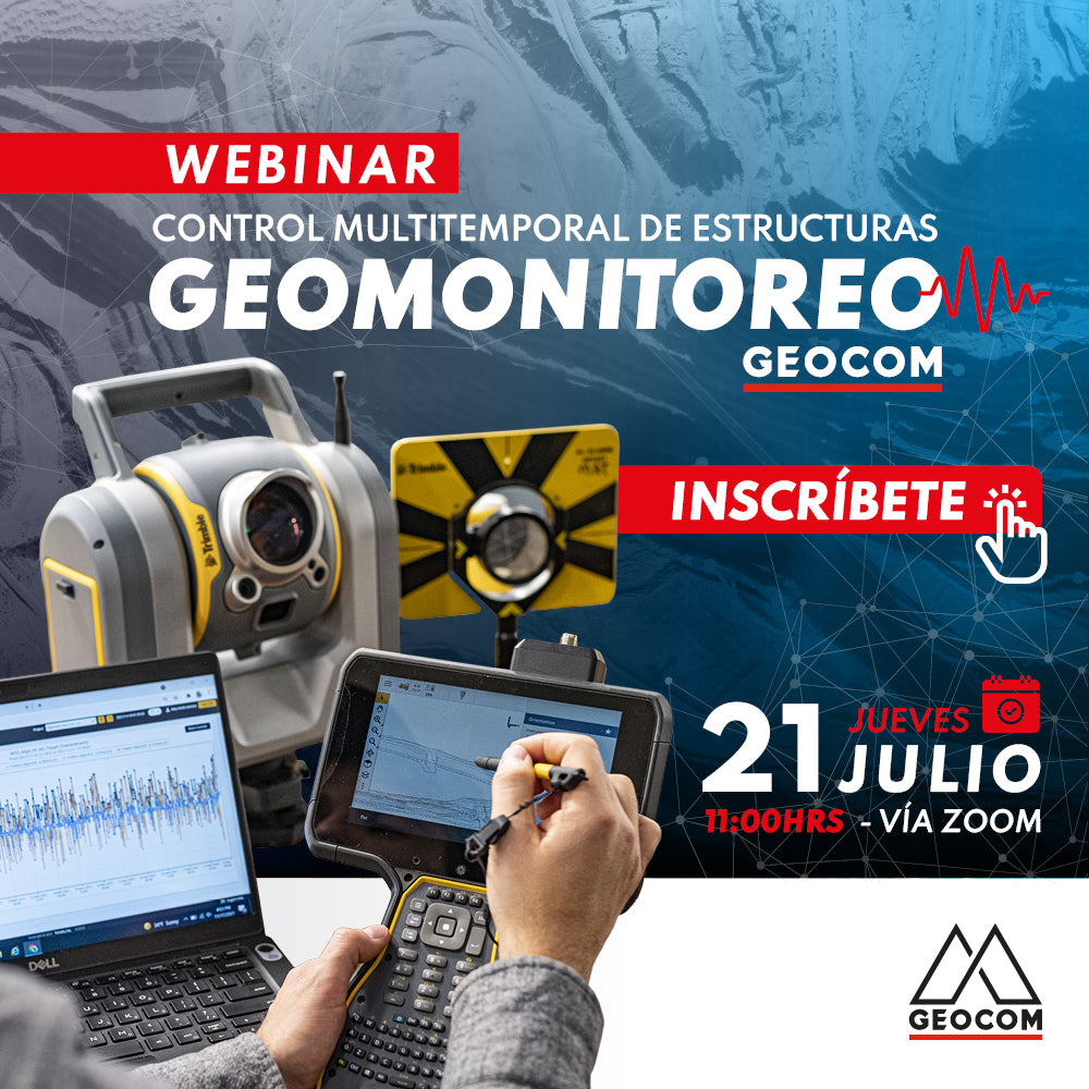
 THURSDAY JULY 21 | 11:00 AM - CHILE | VIA ZOOM & YouTube Live
PROGRAM
| ⨭ Geomonitoring, scope, infrastructure and design of monitoring projects |
| ⨭ Automation, communications and accessibility |
| ⨭ Solutions |
| ⨭ Sensor and Geotechnical Integrations |
| ⨭ Applications |
INSTRUCTORS

Álvaro Arancibia | Support Engineer Geocom
Geomatics Engineer from the University of Santiago, Chile, working as a support and pre-sales engineer at Geocom with three years of experience in optical and GNSS solutions. During this time, he has specialized in the operation of GNSS receivers, total stations, topographic software, monitoring solutions, augmented reality systems, and GIS data capture to meet surveying needs in industries such as mining, infrastructure, and agriculture.

Felipe Carvajal | Application Engineer Geocom
Geomatics Execution Engineer from the University of Santiago, Chile, with postgraduate studies in Geodetic Sciences in Brazil. He currently divides his activities as a researcher, lecturer, and application engineer at GEOCOM. Enthusiastic about the study and research of geodetic positioning techniques and methods for engineering, passionate about technological development in the field of terrestrial and spatial geodetic sensors.

Compartir:
Webinar | Marine & Port Geospatial Solutions
Webinar | Direct RTK Referencing in Drones