

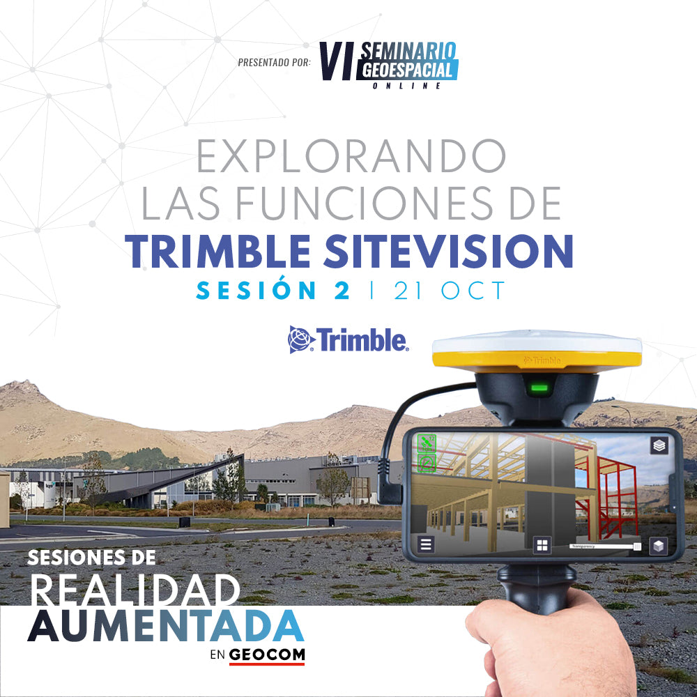

Understand how the integration of high-precision GNSS, an electronic distancer, and the native sensors of a high-end smartphone will allow you to solve problems associated with the execution of an engineering project.

Álvaro Arancibia | GEOCOM Support Engineer
Geodesy Engineer from the University of Santiago, Chile, and works as a support and pre-sales engineer at Geocom with three years of experience in optics and GNSS solutions. During this time, he has specialized in the operation of GNSS receivers, total stations, surveying software, monitoring solutions, augmented reality systems, and GIS data capture to meet surveying needs in industries such as mining, infrastructure, and agriculture.
Compartir:
WEBINAR | INTRODUCTION TO AUGMENTED REALITY IN ENGINEERING
Webinar | Trimble SX12 in the Reality-Virtuality Continuum